Plizio Visual Lab
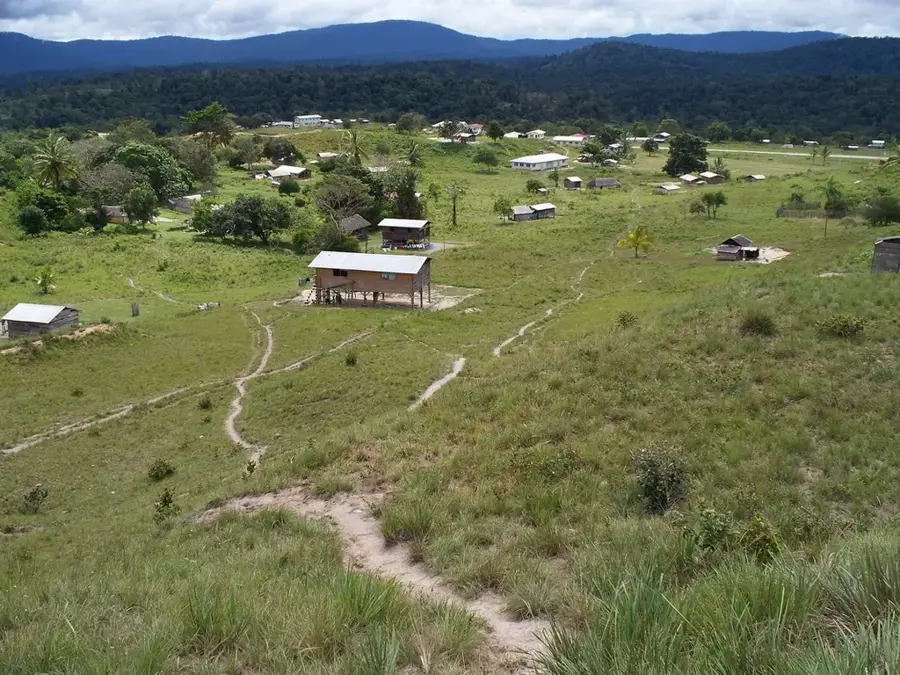
Ebini Mountain

Weather…
Water temperature…
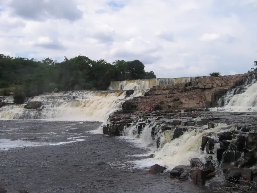
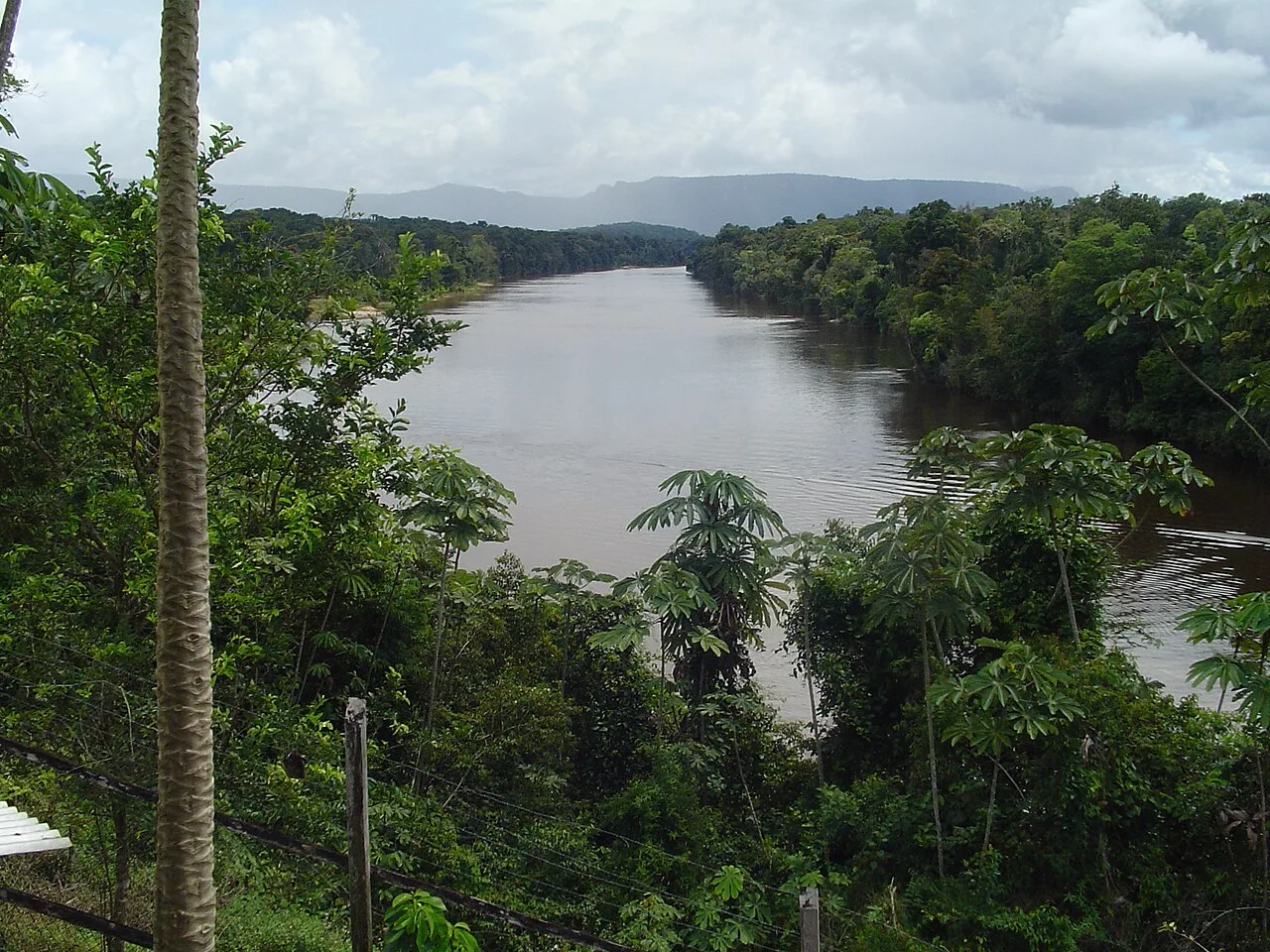
Ebini Mountain is a prominent elevation in eastern Guyana, located within the Berbice River basin. Unlike the high peaks in the west, Ebini is a relatively low mountain range with elevations of about 200 to 300 meters, yet it plays a crucial role in the region's geography and economy. The surrounding area is characterized by the Ebini Savannas, a unique mixture of grasslands and forest islands on sandy soils. In 1941, an agricultural research station was established in this region to study livestock rearing and crop production on the challenging savanna soils. The vegetation is adapted to alternating wet and dry conditions and hosts specialized flora and fauna. Ebini Mountain gives a broad view over the surrounding plains and serves as a landmark for navigation on the Berbice River. The geological structure consists mainly of sedimentary rocks that are part of the Berbice Formation. Today, the area is known for its ecological importance and its potential for sustainable agriculture projects, while also providing an important habitat for various bird species.
- Location: Guyana
- Nearby: Surama (58 km)
Best time to visit & climate
The most pleasant time to visit is Mar, Sep, Oct.
| Jan | Feb | Mar | Apr | May | Jun | Jul | Aug | Sep | Oct | Nov | Dec | |
|---|---|---|---|---|---|---|---|---|---|---|---|---|
| Avg °C | 26 | 26 | 27 | 27 | 26 | 25 | 25 | 26 | 26 | 27 | 27 | 26 |
| Rain mm | 123 | 93 | 79 | 129 | 266 | 261 | 242 | 176 | 80 | 72 | 96 | 148 |
📋 Practical info
Geography
Facts
- Ebini Mountain is located about 120 kilometers inland from the Atlantic Ocean.
- The Ebini Research Station was officially established in 1941.
- The average elevation of the range is between 200 and 300 meters.
- The region is known for its white sandy soils, referred to as Zwall soils.
- Over 50 different grass species occur in the savanna habitat.
- The nearby Berbice River is one of Guyana's most important waterways.
Explore nearby
Notable places around
Route planner — Car & Motorhome
Where do you start? We build the route here, with stops and country notes along the way.
© OpenStreetMap contributors · OpenRouteService
Sights nearby
Frequently asked questions
How difficult is the hike at Ebini Mountain?
When is the best time to visit Ebini Mountain?
Are there parking spaces near the mountain?
Do I need a guide for the climb?
What wildlife can be seen here?
Ebini Mountain: where is it located?
Ebini Mountain: when is the best time to visit?
Ebini Mountain: why is it worth visiting?

Nearby cities
History & landmarks
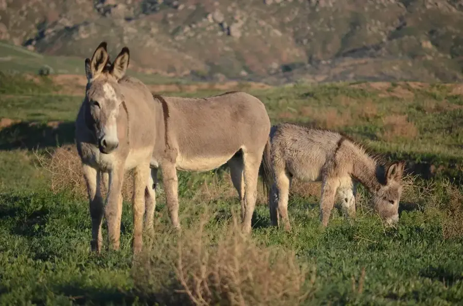
Nature
More places