Plizio Visual Lab
Paramakatoi
ℹ️Practical info — Paramakatoi
▾
🌤 Weather — 5 days
📍 Nearby
Sights nearby
💡 Tips
- Always ask for permission before photographing people in the Patamona community.
- Nights in the Pakaraima Mountains can be unexpectedly cool; bring a light jacket.
- Local water should always be boiled or filtered to be safe.
- Book your flights from Ogle Airport in advance as seats in the small planes are limited.
🍽 Food
Try this unique local specialty produced by a cooperative in the village.
Enjoy cassava bread and traditional stews prepared by local families.
Ask locals to show you which seasonal wild fruits are edible.
🛍 Shopping · 🧘 Quiet spots
Buy packaged tomatoes straight from the production facility as a great souvenir.
Look for handmade jewelry and woven goods to support local artisans.
Hike the trails around the village for wide-open mountain views.
Walk near the fields to observe the quiet rural life of the community.
Water temperature…
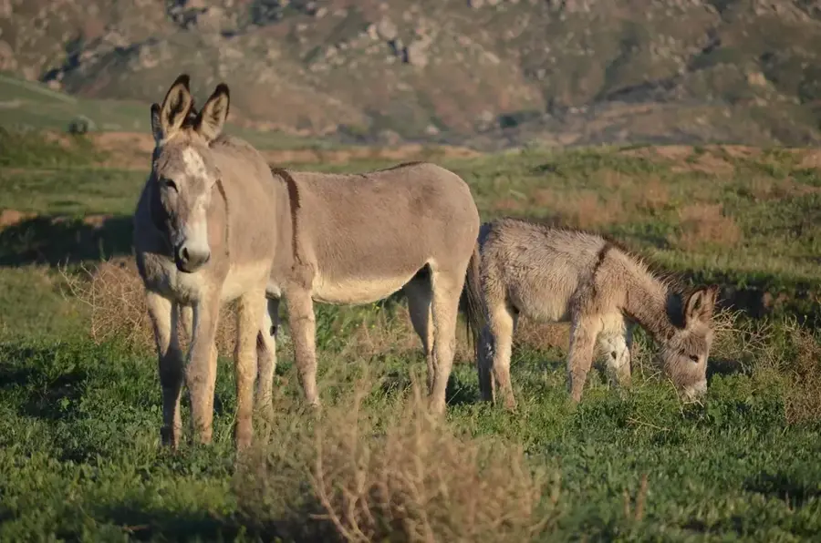
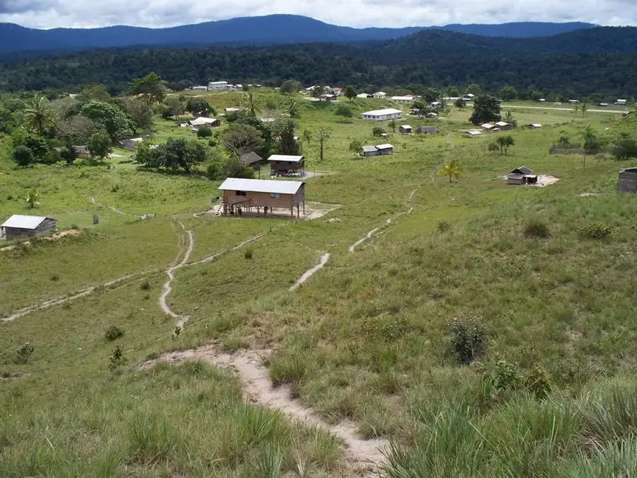
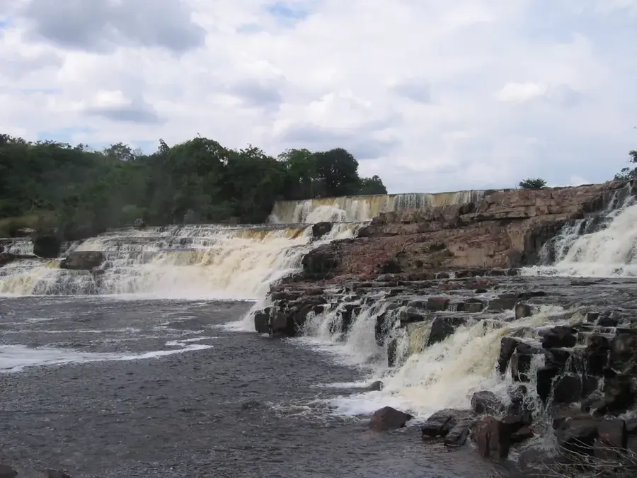
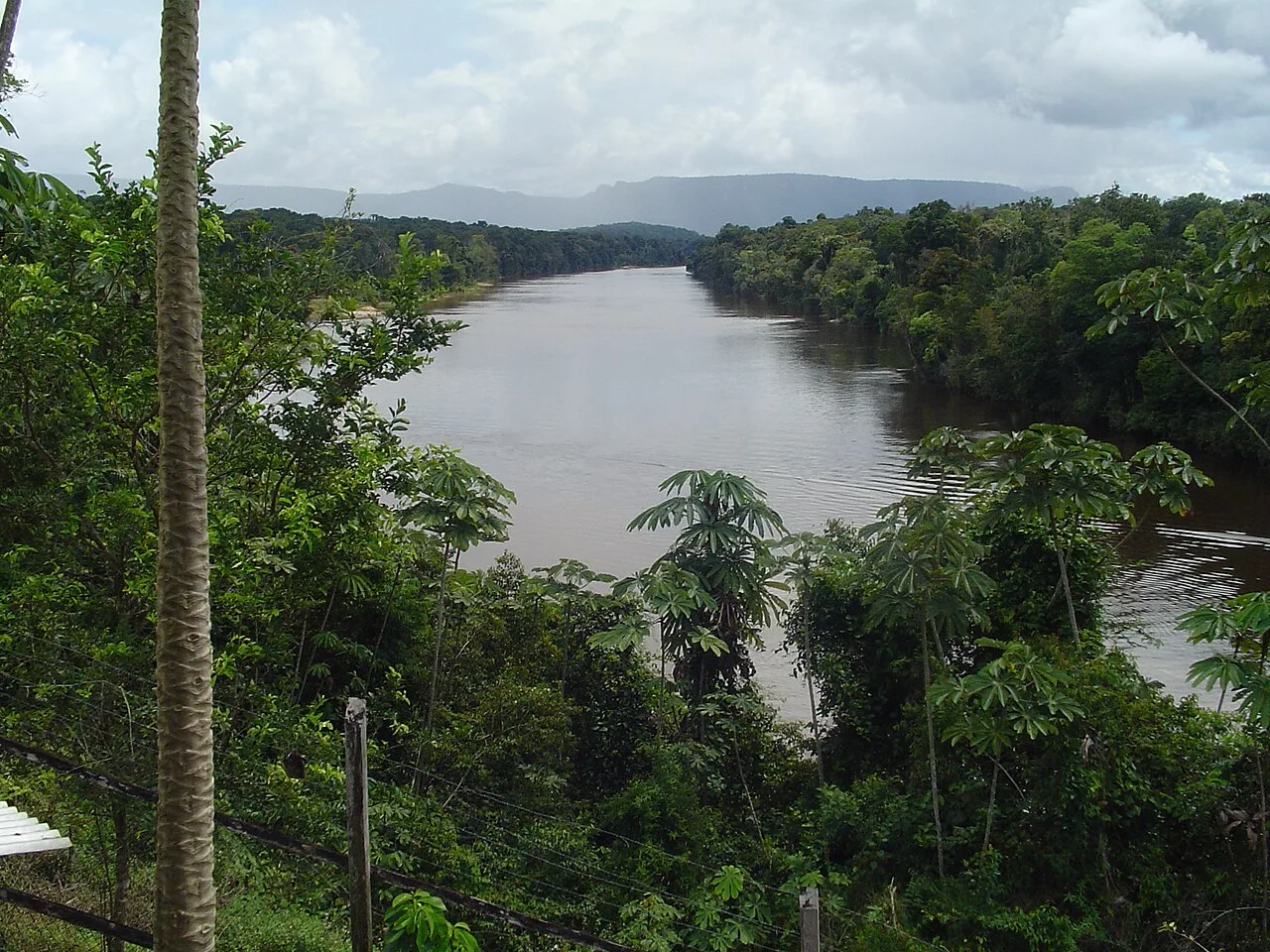
Paramakatoi is one of the largest and most developed indigenous settlements in the Potaro-Siparuni region of Guyana, positioned within the spectacular Pakaraima Mountains. Primarily inhabited by the Patamona people, the village is situated at an elevation of over 700 meters above sea level, resulting in a temperate climate unique for the tropics. Paramakatoi has gained national recognition for its innovative agricultural initiatives, such as the successful sundried tomato processing factory that supports the local economy. The settlement acts as a vital educational and healthcare hub for many smaller satellite villages throughout the surrounding highlands. Its geography, defined by steep valleys and towering peaks, necessitates a heavy reliance on the local airstrip for transport and logistics. Historically, the area was a significant producer of coffee in the interior. The community remains dedicated to preserving its Patamona heritage and language while embracing modern advancements in technology and schooling. The pristine natural surroundings, featuring waterfalls and hiking trails, offer significant potential for community-based ecotourism.
- Location: Guyana
- Top sights: Paramakatoi Weslyan Church · Paramakatoi Church of Christ · Paramakatoi Full Gospel Church
- Nearby: Kato (13 km)
Best time to visit & climate
The most pleasant time to visit is Jan–Mar.
| Jan | Feb | Mar | Apr | May | Jun | Jul | Aug | Sep | Oct | Nov | Dec | |
|---|---|---|---|---|---|---|---|---|---|---|---|---|
| Avg °C | 25 | 25 | 26 | 26 | 24 | 24 | 23 | 24 | 25 | 26 | 26 | 25 |
| Rain mm | 55 | 44 | 40 | 112 | 244 | 277 | 232 | 187 | 85 | 64 | 72 | 66 |
Geography
Facts
- Second largest indigenous settlement in Guyana
- Located in Region 8 (Potaro-Siparuni)
- Situated at an altitude of over 700 meters above sea level
- Main settlement area for the Patamona people
- Famous for the Paramakatoi Sundried Tomato Project
- Serves as a regional medical and educational hub
Explore nearby
Notable places around
Route planner — Car & Motorhome
Where do you start? We build the route here, with stops and country notes along the way.
© OpenStreetMap contributors · OpenRouteService
Sights in the town Paramakatoi (3)
Frequently asked questions
How do you get to Paramakatoi?
When is the best time to visit?
Is there accommodation available?
What local food should I try?
Is the region family-friendly?
Paramakatoi: where is it located?
Paramakatoi: what is there to see?
Paramakatoi: when is the best time to visit?
Paramakatoi: why is it worth visiting?

Nearby cities
History & landmarks
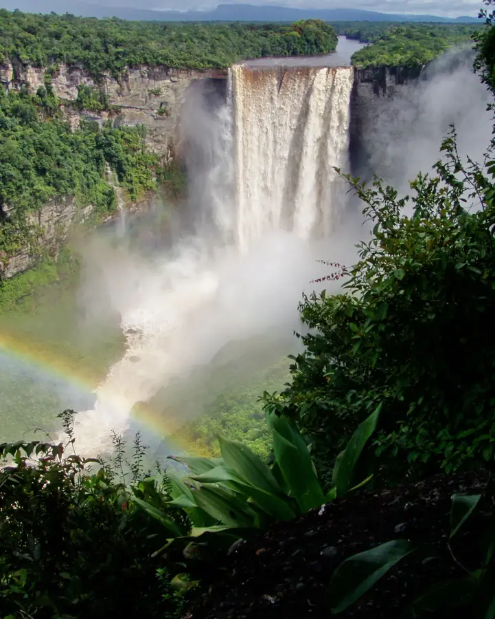
Nature
More places