Plizio Visual Lab
Kato
ℹ️Practical info — Kato
▾
🌤 Weather — 5 days
📍 Nearby
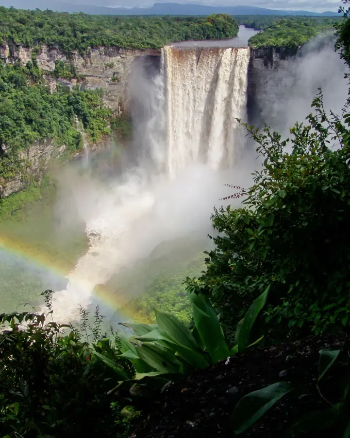
Sights nearby
💡 Tips
- Access to this remote Pakaraima village is mostly via small chartered planes, so pack very light.
- Always ask for permission from the village Toshao (leader) before taking photos of people or local activities.
- Prepare for cool nights despite the hot daytime temperatures.
- Bring a power bank, as electricity comes mainly from solar panels and can be limited.
🍽 Food
A hard, flat bread staple of the indigenous Patamona diet.
An indigenous meat stew cooked in cassava extract (casareep).
Fresh catch traditionally roasted over an open fire.
🛍 Shopping · 🧘 Quiet spots
Look for traditional handmade jewelry crafted by locals.
Durable baskets woven from local leaves and vines.
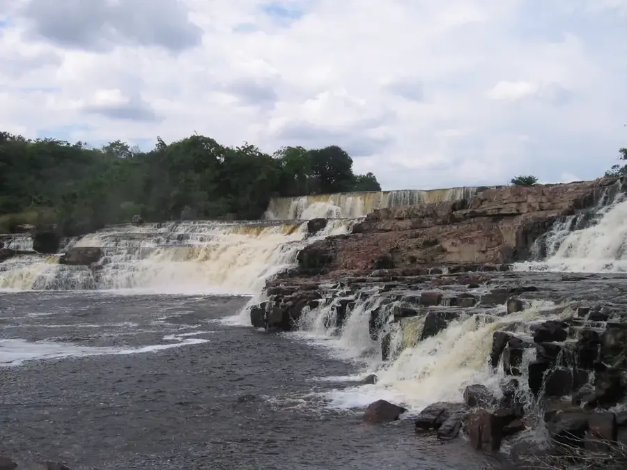
A scenic hike to the tumbling falls on the Chiung River.
Enjoy the vast, silent landscapes of the Pakaraima mountains.
Water temperature…
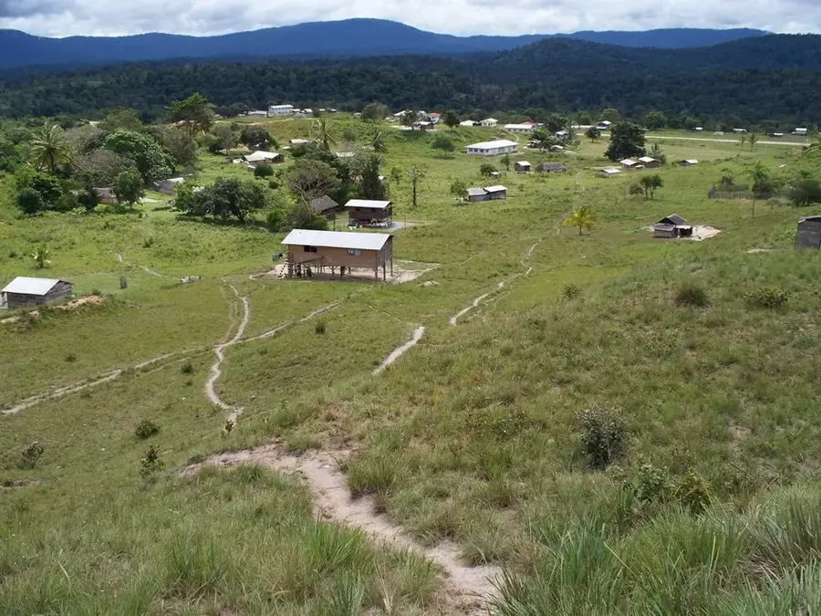
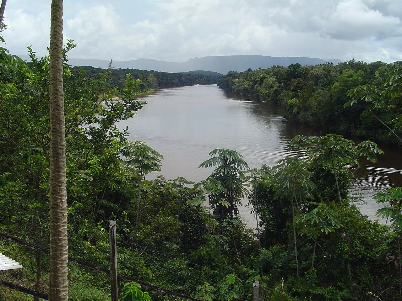
Kato is an indigenous community in the Potaro-Siparuni region of Guyana, located near the Brazilian border in the central Pakaraima Mountains. Primarily home to the Patamona people, the village has seen significant growth in recent years due to major national infrastructure projects. These include the construction of the Kato Secondary School, a state-of-the-art facility serving the hinterland, and the Kato Hydroelectric Project on the Chiung River, designed to provide renewable energy to the settlement. Geographically, Kato is surrounded by rolling hills and highland savannahs that offer dramatic panoramas of the mountainous landscape. The traditional livelihoods of the residents revolve around cattle ranching and farming, though the community is increasingly connected to the wider Guyanese economy. Because of the rugged mountain terrain, air travel remains the primary logistical link for passengers and freight. Kato functions as a key service point for satellite border communities and stands as a model for modern infrastructure development in Guyana's interior.
- Location: Guyana
- Nearby: Paramakatoi (13 km)
Best time to visit & climate
The most pleasant time to visit is Jan–Mar.
| Jan | Feb | Mar | Apr | May | Jun | Jul | Aug | Sep | Oct | Nov | Dec | |
|---|---|---|---|---|---|---|---|---|---|---|---|---|
| Avg °C | 25 | 26 | 26 | 26 | 24 | 23 | 23 | 24 | 24 | 25 | 26 | 25 |
| Rain mm | 54 | 43 | 39 | 112 | 245 | 279 | 233 | 189 | 86 | 65 | 72 | 64 |
Geography
Facts
- Site of a major hydroelectric project on the Chiung River
- Located in Region 8 (Potaro-Siparuni)
- Home to a modern secondary school serving the interior
- Inhabited primarily by the Patamona indigenous people
- Situated close to the national border with Brazil
- Key hub for renewable energy and education in the highlands
Explore nearby
Notable places around
Route planner — Car & Motorhome
Where do you start? We build the route here, with stops and country notes along the way.
© OpenStreetMap contributors · OpenRouteService
Sights in the town Kato (1)
Frequently asked questions
What is the main attraction in Kato?
What is the climate like at this altitude?
Do I need cash in Kato?
Is there an internet connection?
What is the best way to reach Kato?
Kato: where is it located?
Kato: when is the best time to visit?
Kato: why is it worth visiting?

Nearby cities
History & landmarks
Nature
More places