Plizio Visual Lab
Mount Wokomung

Weather…
Water temperature…
Mount Wokomung is a majestic sandstone tepui located in the Pakaraima Mountains of western Guyana, rising to an estimated elevation of 1,700 meters (5,577 feet). Along with the nearby Mount Ayanganna, it forms part of a high-altitude massif that is critical for regional biodiversity. The mountain is characterized by its broad, forested plateaus and sheer cliffs, which have been shaped by millions of years of erosion. The biological isolation of its summit has led to the development of unique ecosystems, harboring species of frogs, lizards, and plants found nowhere else on Earth. Botanically, the area is significant for its diverse bromeliads, orchids, and carnivorous plants adapted to the nutrient-poor sandstone soils. Geologically, Mount Wokomung belongs to the Guiana Shield and is composed of ancient Roraima Supergroup sedimentary rocks. Due to its extreme remoteness, it remains one of the least explored regions in Guyana, serving as a prime destination for scientific expeditions focused on species discovery.
- Location: Guyana
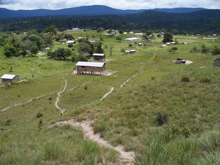
- Nearby: Kato (24 km)
Best time to visit & climate
The most pleasant time to visit is Jan–Mar.
| Jan | Feb | Mar | Apr | May | Jun | Jul | Aug | Sep | Oct | Nov | Dec | |
|---|---|---|---|---|---|---|---|---|---|---|---|---|
| Avg °C | 22 | 22 | 23 | 23 | 22 | 21 | 21 | 22 | 23 | 23 | 23 | 23 |
| Rain mm | 85 | 62 | 52 | 122 | 253 | 286 | 237 | 192 | 90 | 69 | 87 | 93 |
📋 Practical info
Geography
Facts
- Estimated elevation of 1,700 meters
- Part of the Pakaraima mountain range
- Composed of ancient sedimentary sandstone
- High levels of biological endemism
- Rarely visited due to extreme isolation
- Key site for botanical research
Explore nearby
Notable places around
Route planner — Car & Motorhome
Where do you start? We build the route here, with stops and country notes along the way.
© OpenStreetMap contributors · OpenRouteService
Sights nearby
Frequently asked questions
How high is Mount Wokomung?
Is the climb difficult?
What flora can be found here?
When is the best time to visit?
Are there accommodations on the mountain?
Mount Wokomung: where is it located?
Mount Wokomung: when is the best time to visit?
Mount Wokomung: why is it worth visiting?

Nearby cities
History & landmarks
Nature
More places