Plizio Visual Lab
Bafatá Hills
Weather…
Water temperature…
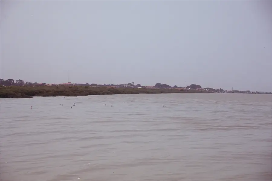
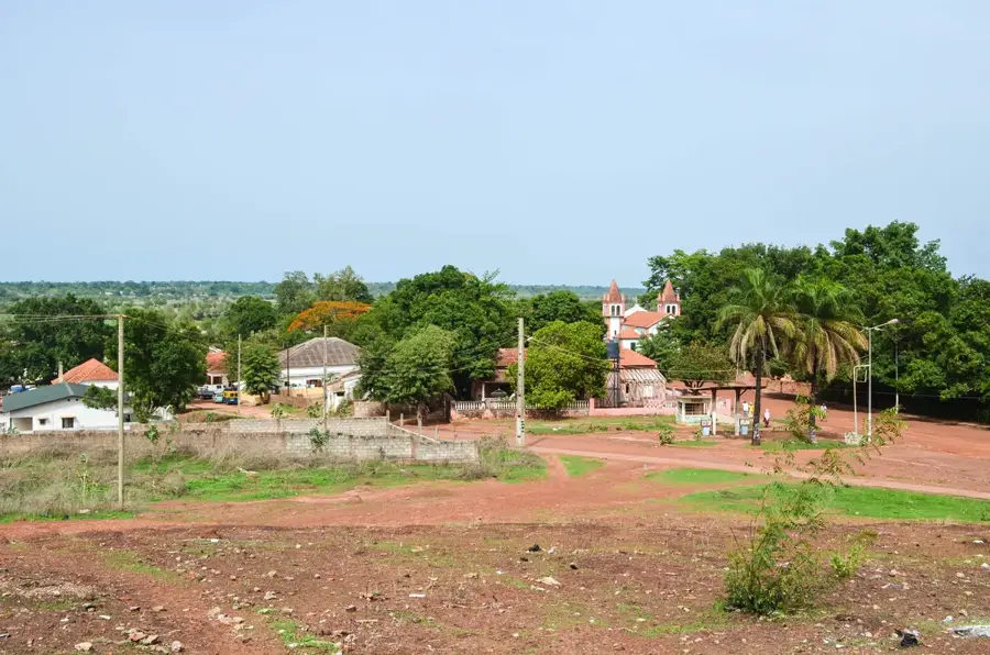
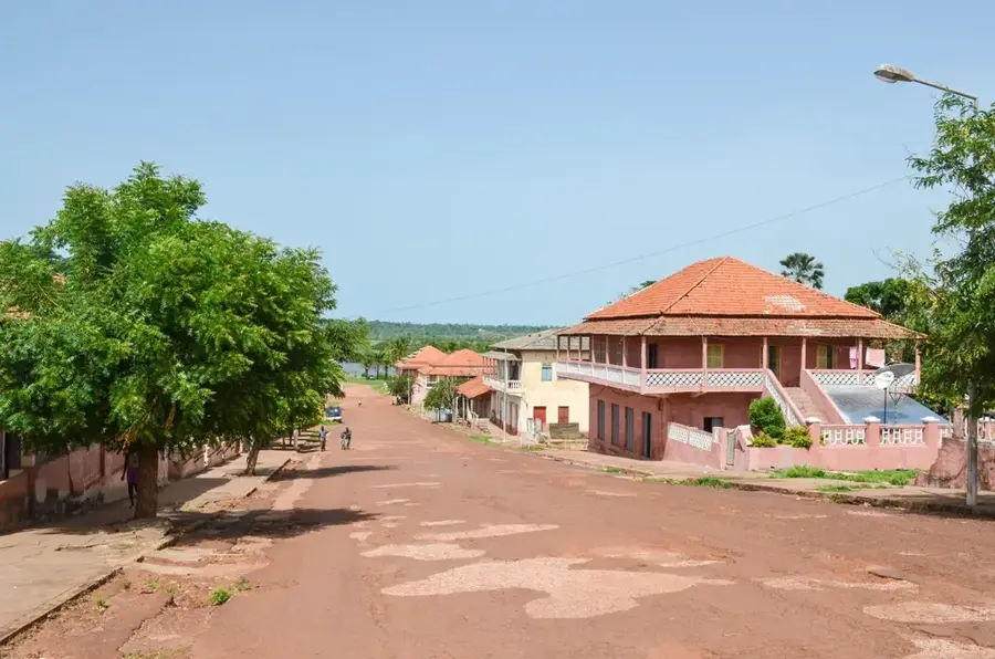
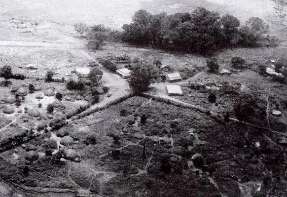
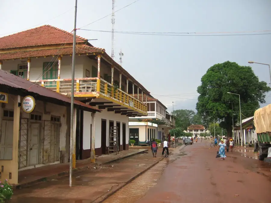
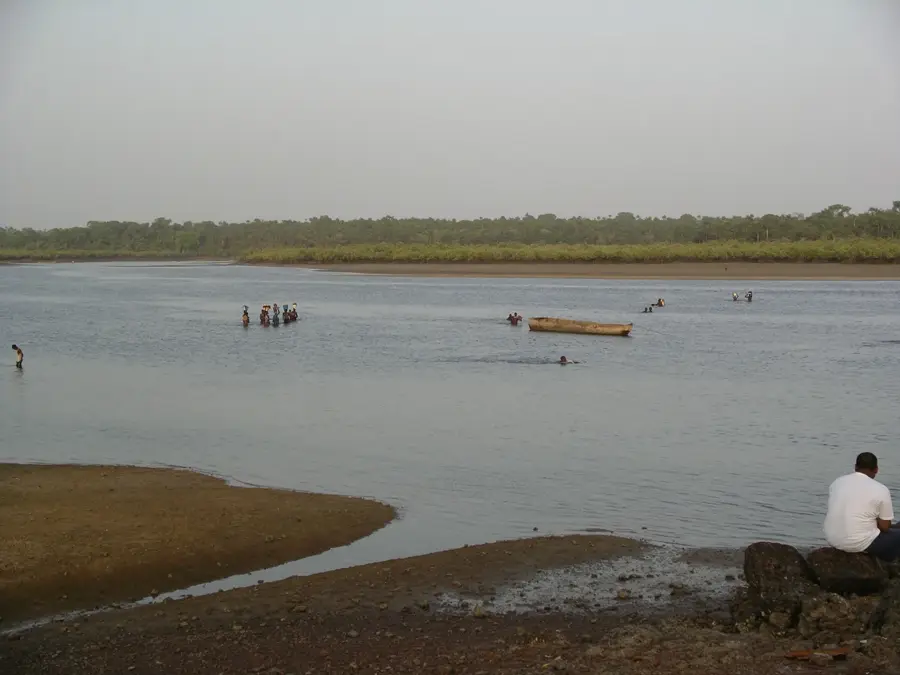
The Bafatá Hills form a prominent geomorphological threshold in the heart of Guinea-Bissau, marking the transition from the flat coastal lowlands to the gently rising plateaus of the east. This relief is characterized by a series of laterite ridges rising on both sides of the Geba River, giving the landscape a terraced structure. The hills reach elevations of about 40 to 60 meters above sea level and consist of hard, iron-rich rock layers that have resisted river erosion for millennia. The relief significantly influences the microclimate and urban planning of Bafatá, as settlements on the heights are protected from the Geba's seasonal floods. The slopes are often covered with dense fruit orchards and secondary forests, favored by the efficient drainage of the inclined surfaces. Geologically, the hills document the progressive uplift of the African continental block in this region. For observers, the crests offer wide panoramic views over the river bends and the expansive rice fields in the valleys, making it one of the most aesthetically pleasing relief areas in the country's interior.
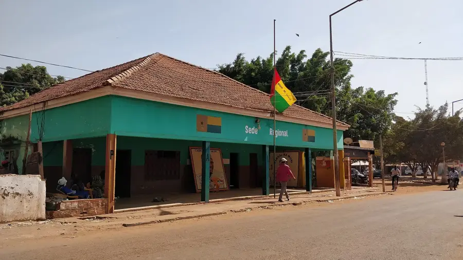
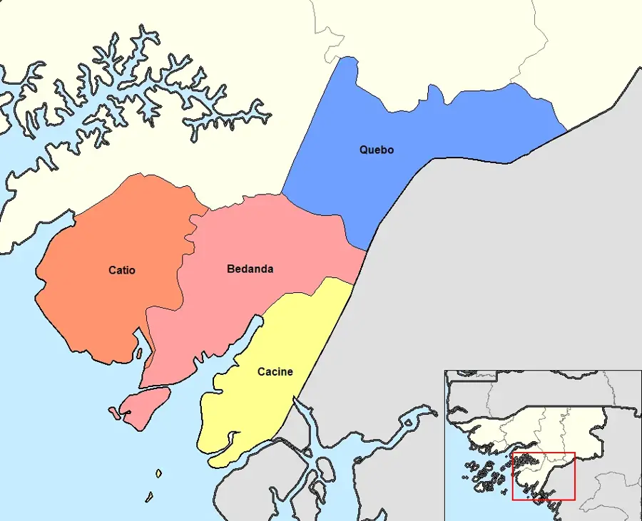
- Location: Guinea-Bissau
- Top sights: Bafatá · Diocese of Bafatá · Our Lady of Grace Cathedral, Bafatá
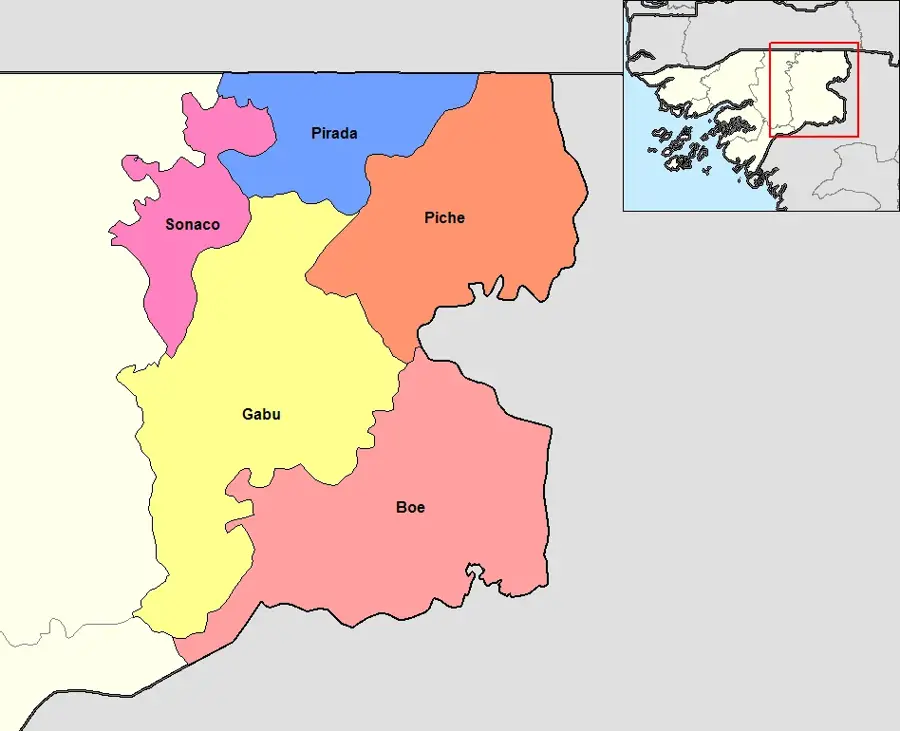
- Nearby: Sonaco (20 km)
Best time to visit & climate
The most pleasant time to visit is Jan, Nov, Dec.
| Jan | Feb | Mar | Apr | May | Jun | Jul | Aug | Sep | Oct | Nov | Dec | |
|---|---|---|---|---|---|---|---|---|---|---|---|---|
| Avg °C | 25 | 28 | 31 | 32 | 32 | 29 | 26 | 26 | 26 | 27 | 26 | 24 |
| Rain mm | 1 | 0 | 1 | 1 | 30 | 156 | 370 | 468 | 323 | 151 | 14 | 0 |
📋 Practical info
Geography
Facts
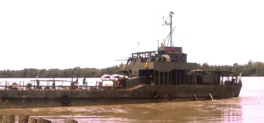
- The hills define the natural terminus for navigation on the Geba River.
- The relief consists primarily of red laterite with a high iron concentration.
- The city of Bafatá is built across three distinct levels of this topography.
- The hill ridges act as a natural watershed for smaller local streams.
- Erosion has carved distinct rocky outcrops along the hillsides.
- The relief favors citrus cultivation by preventing soil waterlogging.
Explore nearby
Notable places around
Route planner — Car & Motorhome
Where do you start? We build the route here, with stops and country notes along the way.
© OpenStreetMap contributors · OpenRouteService
Sights in the town Bafatá Hills (3)
Sights nearby
Frequently asked questions
Does the Bafatá Hills offer good views?
When is the best time to visit Bafatá?
Are there historical sites in the hills?
What is the soil like in the region?
Are there accommodations in Bafatá?
Bafatá Hills: where is it located?
Bafatá Hills: what is there to see?
Bafatá Hills: when is the best time to visit?
Bafatá Hills: why is it worth visiting?

Nearby cities
History & landmarks

Nature
More places