Plizio Visual Lab
Bafatá Geba Bridge

Weather…
Water temperature…
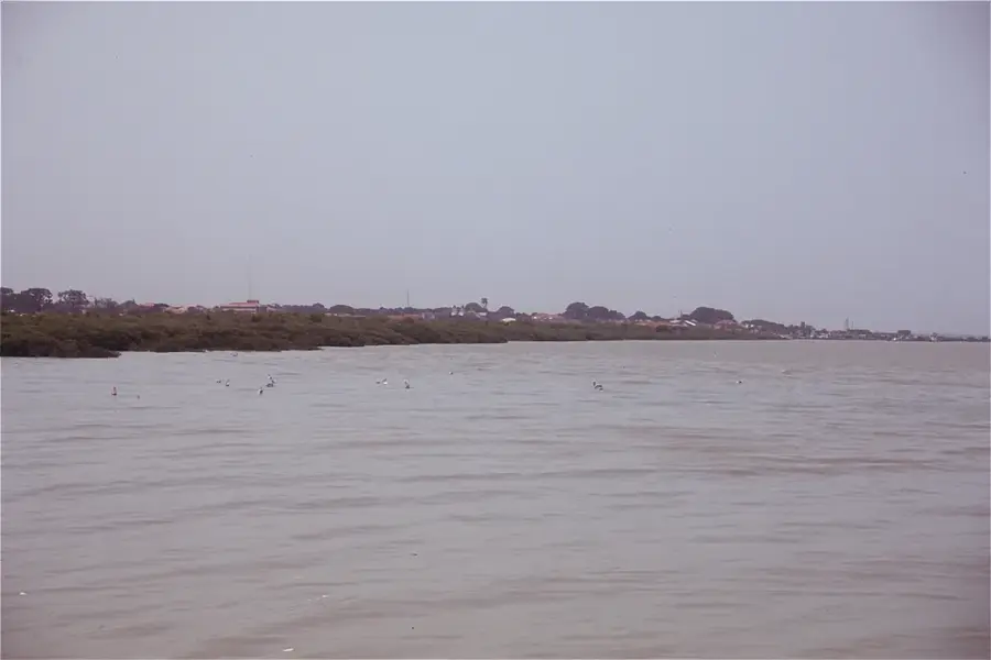
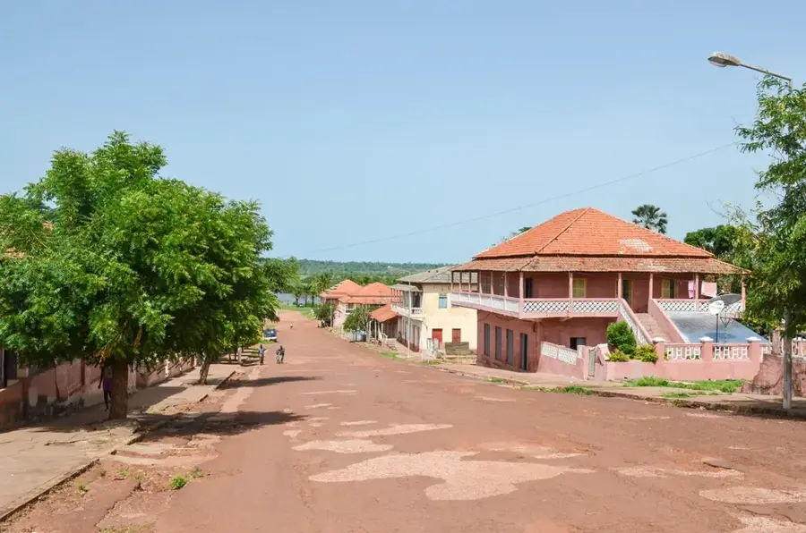
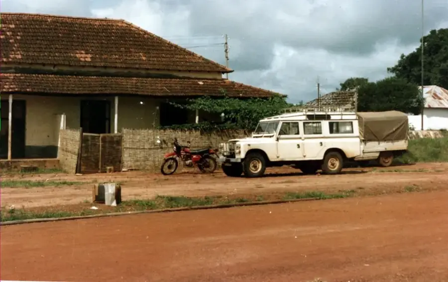
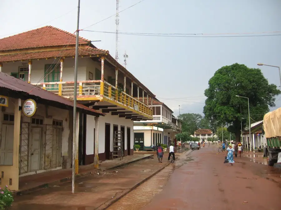
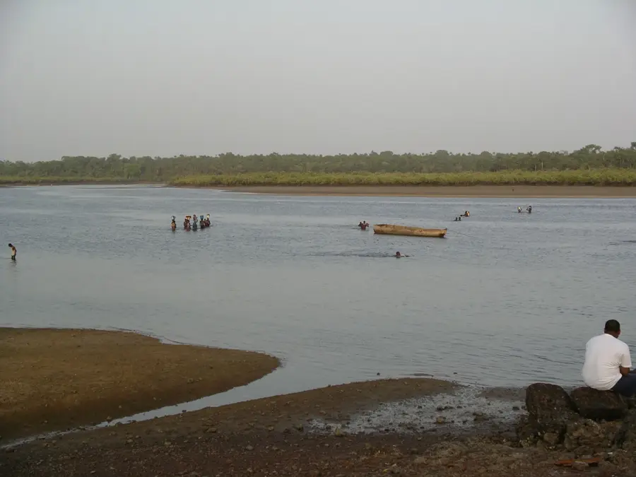
The Bafatá Geba Bridge is one of the most critical engineering structures in the interior of Guinea-Bissau, spanning the Geba River in the city of Bafatá. It serves as a vital link in the national road network, providing the primary connection between the capital city, Bissau, and the eastern provinces toward Gabú and the borders of Guinea and Senegal. Originally constructed during the colonial era, the bridge exemplifies the robust design of the period, with massive concrete pillars engineered to withstand the river's significant seasonal fluctuations and strong currents during the rainy season. The bridge provides a panoramic vantage point over the river, where the daily lives of Bafatá’s residents unfold, including traditional laundering and fishing activities. Its strategic importance has been paramount throughout the country's history, as it remains the only reliable crossing for heavy transport vehicles in the region. Today, the Bafatá bridge is not only a functional piece of infrastructure but also a symbol of national integration, physically connecting the diverse western and eastern landscapes of Guinea-Bissau. It is a landmark for travelers and a cornerstone for regional commerce.
- Location: Guinea-Bissau
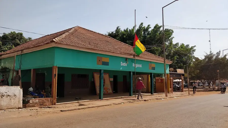
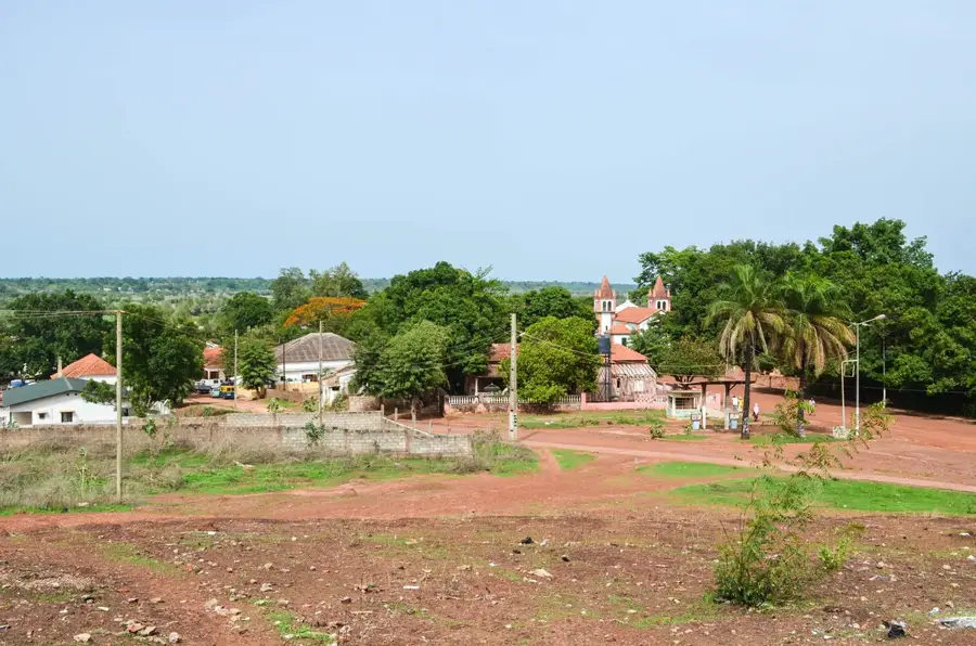
- Top sights: Diocese of Bafatá · Our Lady of Grace Cathedral, Bafatá · Bafatá
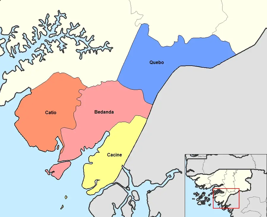
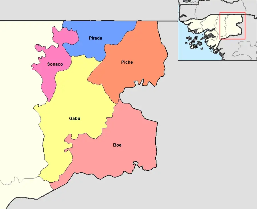
- Nearby: Sonaco (21 km)
Best time to visit & climate
The most pleasant time to visit is Jan, Nov, Dec.
| Jan | Feb | Mar | Apr | May | Jun | Jul | Aug | Sep | Oct | Nov | Dec | |
|---|---|---|---|---|---|---|---|---|---|---|---|---|
| Avg °C | 25 | 28 | 31 | 32 | 32 | 29 | 26 | 26 | 26 | 27 | 26 | 24 |
| Rain mm | 1 | 0 | 1 | 1 | 30 | 156 | 370 | 468 | 323 | 151 | 14 | 0 |
📋 Practical info
Geography
Facts
- The bridge is the primary river crossing for the national highway 'Estrada 1'.
- It connects the capital Bissau to the strategic eastern hub of Gabú.
- The structure dates back to the mid-20th-century Portuguese administration.
- It provides a vital lifeline for the transport of cattle and crops.
- The Geba River beneath the bridge is one of the longest in the country.
- It is a central landmark for identifying the city of Bafatá from a distance.
Explore nearby
Notable places around
Route planner — Car & Motorhome
Where do you start? We build the route here, with stops and country notes along the way.
© OpenStreetMap contributors · OpenRouteService
Sights in the town Bafatá Geba Bridge (3)
Sights nearby
Frequently asked questions
Is it allowed to cross the bridge on foot?
Is there a fee for crossing?
When is the best time for photos?
How long does a visit take?
Is the bridge accessible?
Bafatá Geba Bridge: where is it located?
Bafatá Geba Bridge: what is there to see?
Bafatá Geba Bridge: when is the best time to visit?
Bafatá Geba Bridge: why is it worth visiting?

Nearby cities
History & landmarks
Nature
More places