Plizio Visual Lab
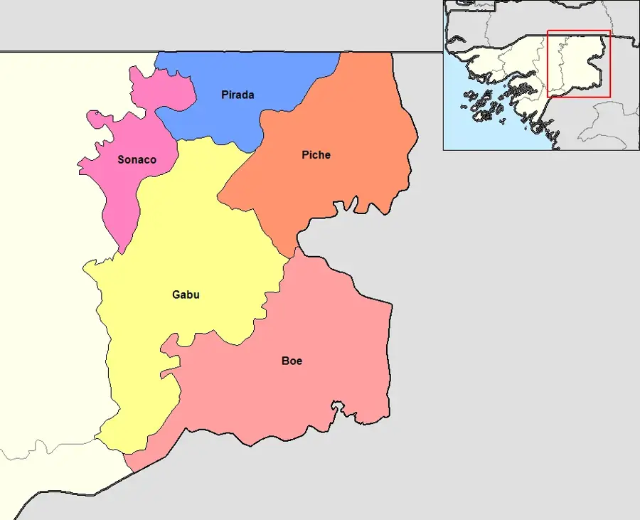
Gabú Plateau

Weather…
Water temperature…
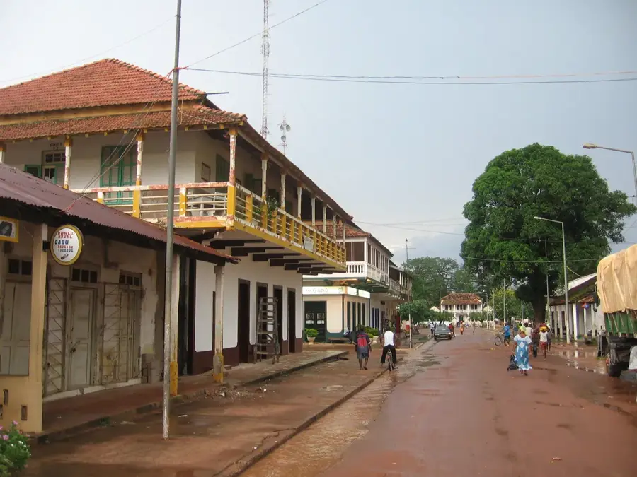
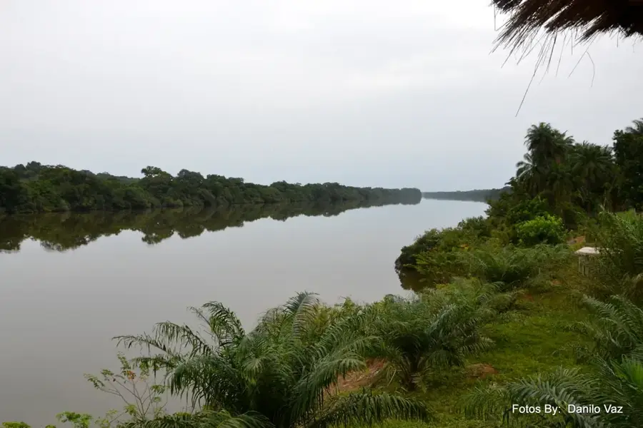
The Gabú Plateau in eastern Guinea-Bissau is one of the country's most extensive and geologically stable upland areas. This relief feature marks the transition from the humid coastal lowlands to the drier savanna regions of West Africa. The average elevation ranges between 50 and 100 meters above sea level, with the terrain characterized by a gently undulating topography and massive laterite formations. Geomorphologically, it is an ancient erosional surface where a hard iron crust has developed over millions of years. This crust significantly influences agriculture as it hinders water infiltration, yet it provides the foundation for the characteristic wooded savanna. The plateau's relief is dissected by numerous small valleys that carry water during the rainy season, draining into the Geba or Corubal rivers. The soil's distinct reddish hue, a result of intense oxidation, gives the Gabú region its unmistakable appearance. For infrastructure, the plateau's flat relief provides good conditions for building highways and airstrips, establishing Gabú as a primary logistical hub for trade with neighboring Guinea and Senegal.
- Location: Guinea-Bissau
- Nearby: Galomaro (23 km)
Best time to visit & climate
The most pleasant time to visit is Jan, Nov, Dec.
| Jan | Feb | Mar | Apr | May | Jun | Jul | Aug | Sep | Oct | Nov | Dec | |
|---|---|---|---|---|---|---|---|---|---|---|---|---|
| Avg °C | 26 | 29 | 32 | 33 | 33 | 30 | 27 | 26 | 26 | 27 | 26 | 24 |
| Rain mm | 1 | 1 | 0 | 2 | 29 | 153 | 295 | 387 | 280 | 110 | 9 | 0 |
📋 Practical info
Geography
Facts
- The plateau is the most arid relief region in Guinea-Bissau.
- Geologically, it belongs to the stable African craton.
- Laterite crusts here can reach thicknesses of several meters.
- The relief facilitates the development of extensive cattle grazing lands.
- Gabú is the country's most inland relief center, furthest from the coast.
- Temporary water reservoirs often collect in the plateau's natural depressions.
Explore nearby
Notable places around
Route planner — Car & Motorhome
Where do you start? We build the route here, with stops and country notes along the way.
© OpenStreetMap contributors · OpenRouteService
Sights nearby
Frequently asked questions
What is the Gabú Plateau?
How is the weather on the plateau?
What are the main products of the region?
Can the city of Gabú be used as a base?
Are there cultural specialties on the plateau?
Gabú Plateau: where is it located?
Gabú Plateau: when is the best time to visit?
Gabú Plateau: why is it worth visiting?

Nearby cities
History & landmarks

Nature
More places