Plizio Visual Lab
Mount Athamanika

Weather…
Water temperature…
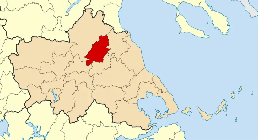
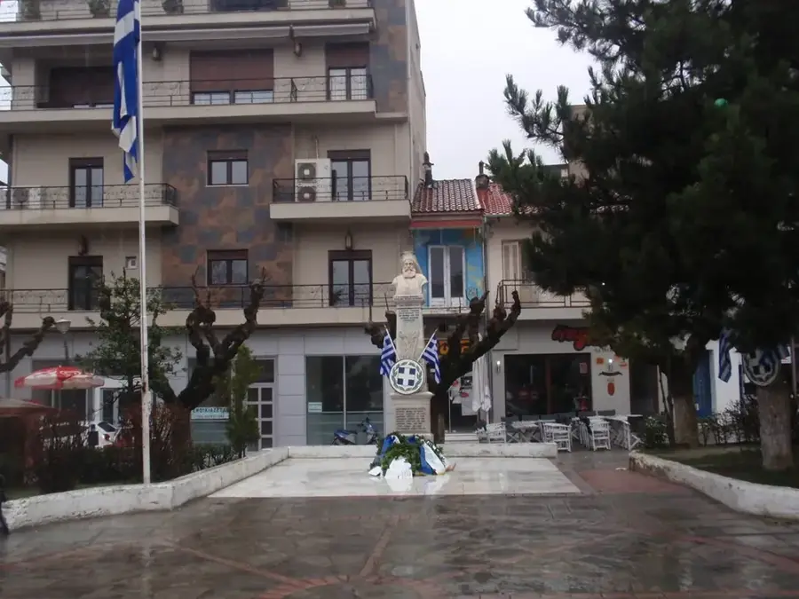
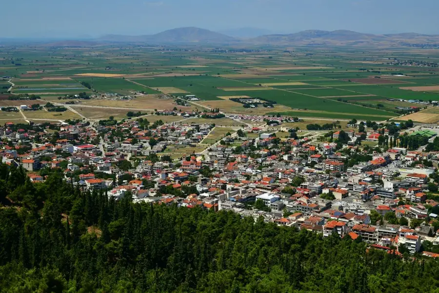
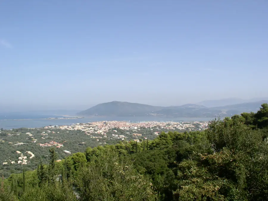
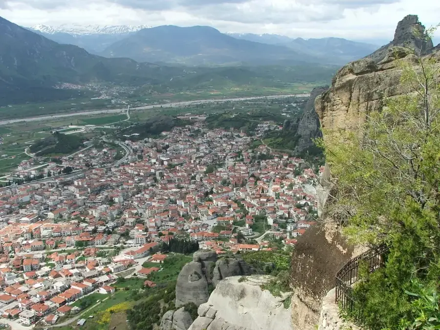
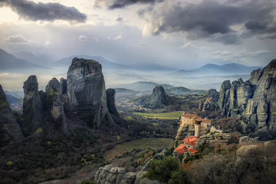
The Athamanika Mountains, widely known as Tzoumerka, are a formidable range within the southern Pindus mountain system in northwestern Greece. Its highest peak, Kakarditsa, reaches an impressive elevation of 2,429 meters, making it one of the tallest mountains in the country. The landscape is characterized by deep canyons, rushing rivers such as the Acheloos and Arachthos, and dense forests of fir and beech. Geologically, the range is composed of limestone and flysch, contributing to its rugged and serrated appearance. Historically, this area was the homeland of the ancient Athamanes tribe and later provided a strategic refuge during the Ottoman era. Traditional stone villages like Pramanta and Syrrako highlight the exceptional craftsmanship of local stone masons. Today, the mountains are a hub for outdoor adventure sports and are protected within the Tzoumerka-Peristeri-Arachthos National Park.
- Location: Greece
- Nearby: Pertouli (31 km)
Best time to visit & climate
The most pleasant time to visit is Jun–Aug.
| Jan | Feb | Mar | Apr | May | Jun | Jul | Aug | Sep | Oct | Nov | Dec | |
|---|---|---|---|---|---|---|---|---|---|---|---|---|
| Avg °C | 1 | 2 | 5 | 8 | 13 | 19 | 22 | 22 | 17 | 12 | 7 | 2 |
| Rain mm | 72 | 62 | 60 | 40 | 43 | 29 | 26 | 23 | 60 | 74 | 79 | 90 |
📋 Practical info
Geography
Facts
- The highest peak, Kakarditsa, stands at 2,429 meters.
- The range is part of the Tzoumerka-Peristeri-Arachthos National Park.
- The Arachthos River gorge is one of the deepest in Greece.
- Kipina Monastery was built into a limestone cliff in 1212.
- Plaka Bridge was once the largest single-arch stone bridge in the Balkans.
- The area is home to over 40 traditional mountain settlements.
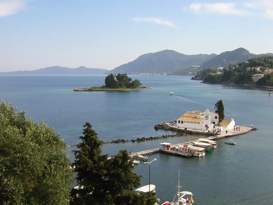
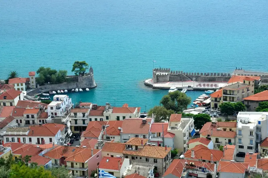
Explore nearby
Notable places around
Route planner — Car & Motorhome
Where do you start? We build the route here, with stops and country notes along the way.
© OpenStreetMap contributors · OpenRouteService
Sights in the town Mount Athamanika (1)
Sights nearby
Frequently asked questions
What is another name for the Athamanika mountains?
What are the highlights of this region?
What outdoor sport is popular there?
Are there impressive bridges there?
How high is the highest peak?
Mount Athamanika: where is it located?
Mount Athamanika: when is the best time to visit?
Mount Athamanika: why is it worth visiting?

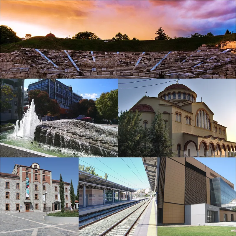
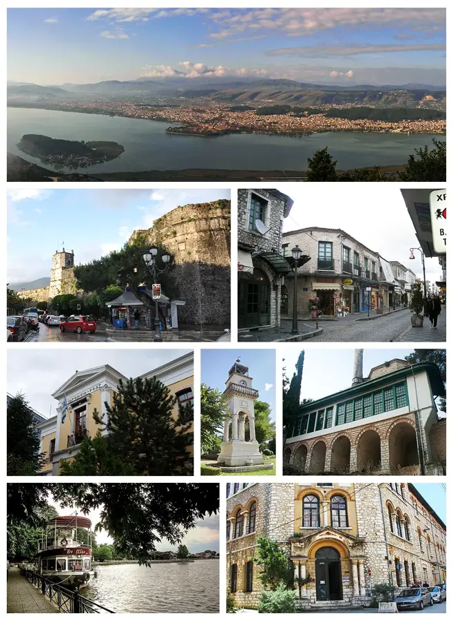
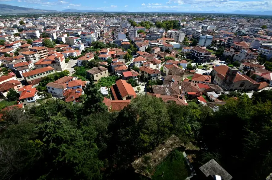
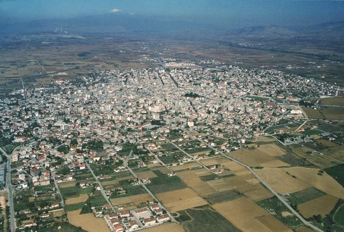
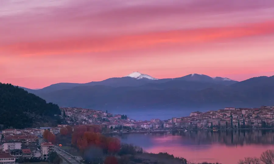
Nearby cities