Plizio Visual Lab
Trialeti Range
Weather…
Water temperature…
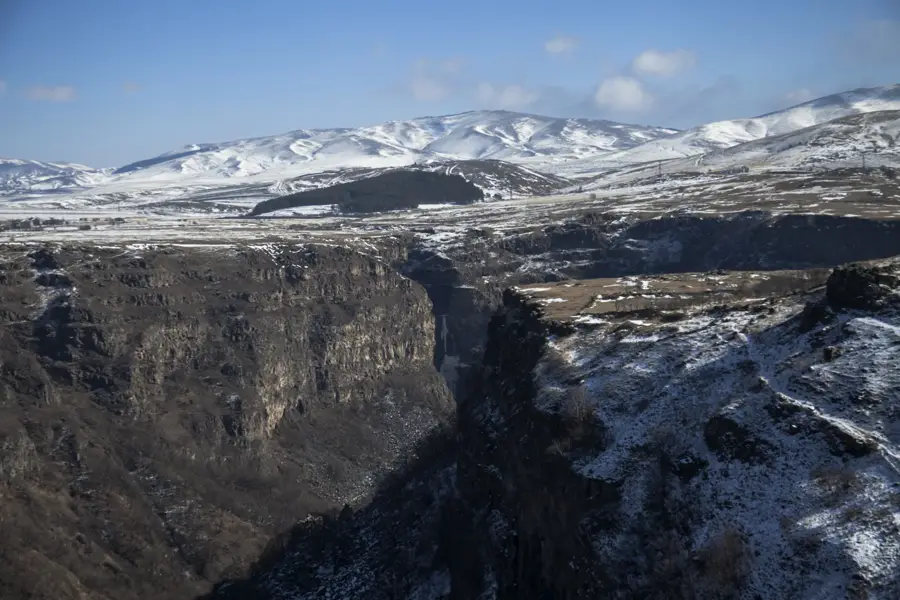
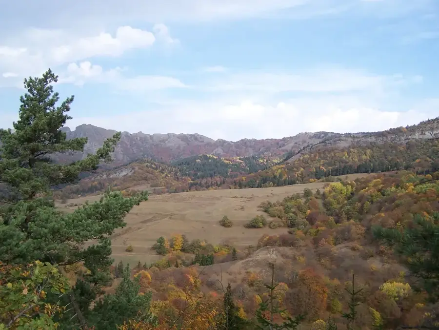
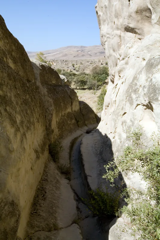
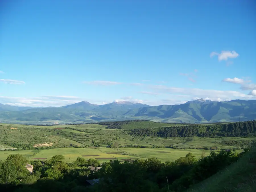
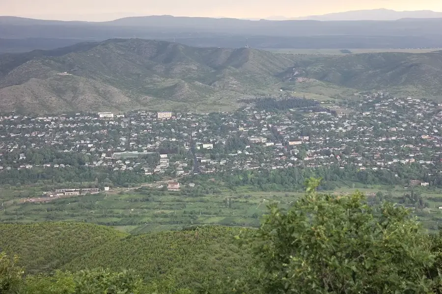
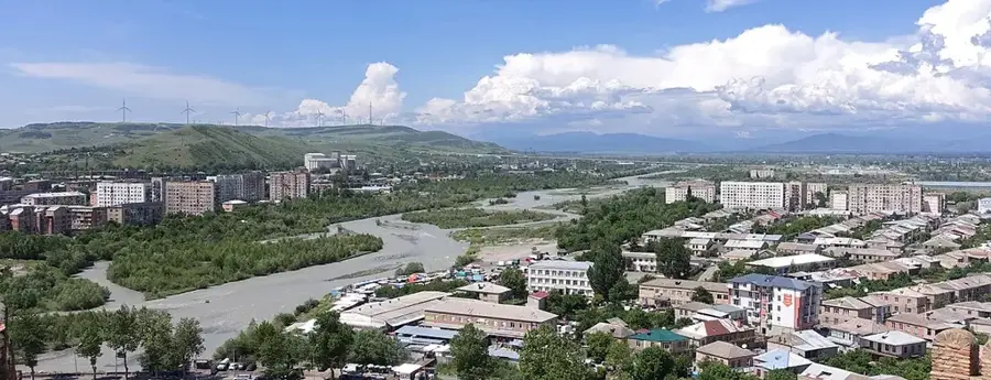
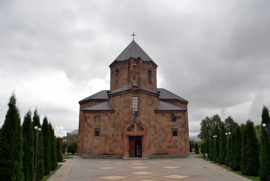
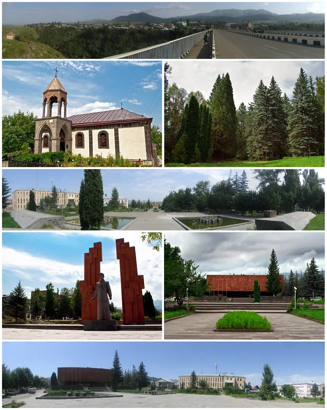
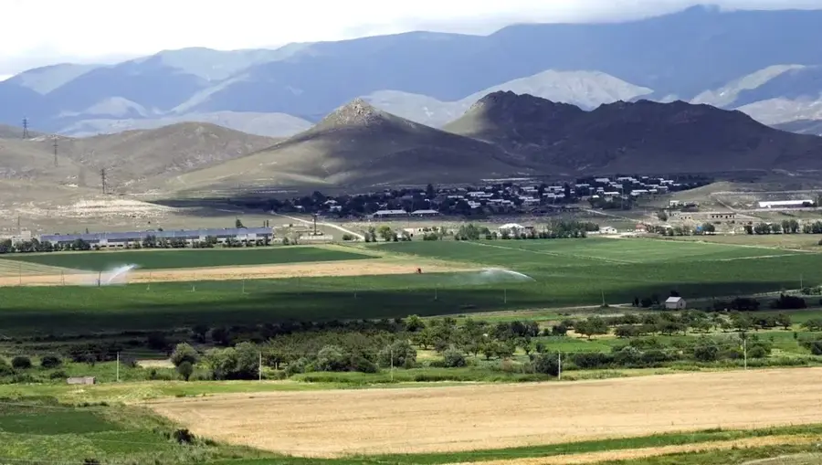
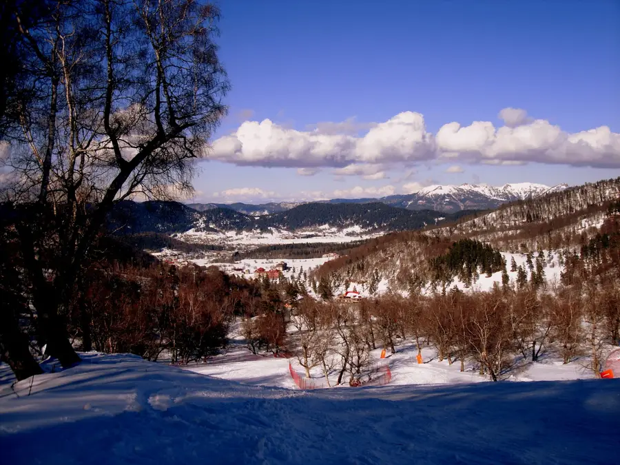
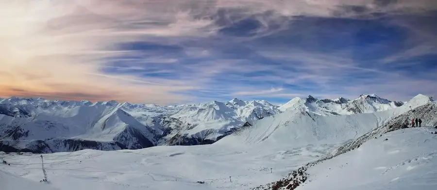
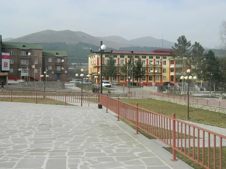
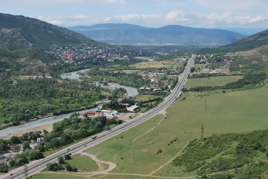
The Trialeti Range is a major mountain chain in central Georgia, forming part of the Lesser Caucasus system. It stretches for about 144 kilometers from the Kura River in the east to the Paravani River in the west. Reaching its highest point at Mount Shaviklde (2850 m), the range features a diverse topography with deep valleys, volcanic plateaus, and dense forests. Geologically, the mountains were shaped by Tertiary volcanic activity, leading to abundant mineral springs and fertile soils. The Trialeti Range is well-known for its pleasant microclimate and numerous resorts, such as Bakuriani, which is a key hub for winter sports. Historically, the region was an important center for Georgian culture and agriculture, evidenced by significant archaeological finds from the Bronze Age. The dense beech and coniferous forests on the slopes provide habitat for varied wildlife, including brown bears and wolves. Hikers favor the range for its accessible trails and expansive views toward the Greater Caucasus and the southern Georgian highlands.
- Location: Georgia
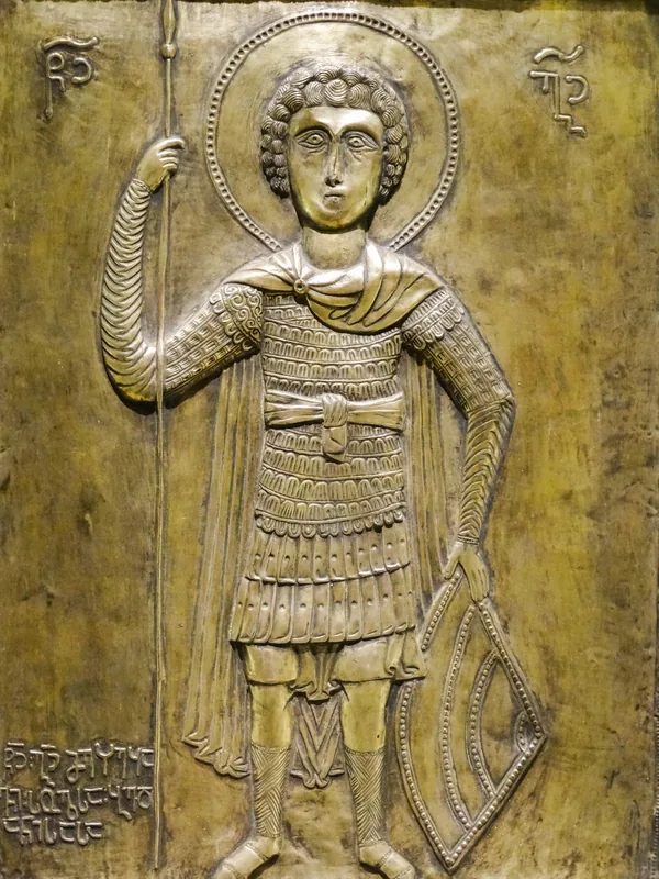
- Top sights: nasop`lari shuasop`eli · sabechdavis c`iklopuri c`ixe-simagre da namosaxlari · knoles "c`iklopuri" namosaxlari
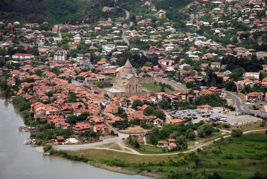
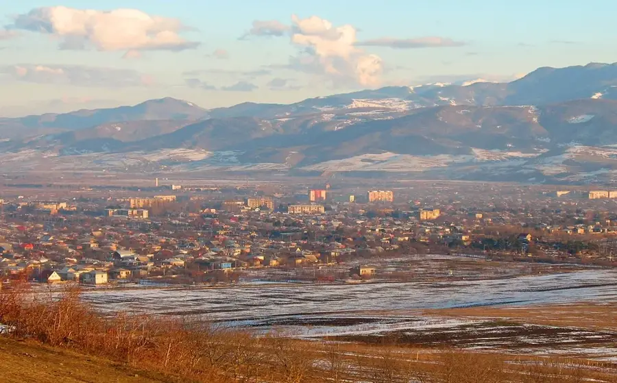
- Nearby: Gori (26 km)
Best time to visit & climate
The most pleasant time to visit is Jul–Sep.
| Jan | Feb | Mar | Apr | May | Jun | Jul | Aug | Sep | Oct | Nov | Dec | |
|---|---|---|---|---|---|---|---|---|---|---|---|---|
| Avg °C | -8 | -7 | -2 | 3 | 8 | 13 | 16 | 16 | 12 | 6 | 0 | -6 |
| Rain mm | 34 | 29 | 42 | 58 | 73 | 66 | 42 | 40 | 35 | 48 | 38 | 38 |
📋 Practical info
Geography
Facts
- The Trialeti Range is approximately 144 kilometers long.
- Its highest peak is Mount Shaviklde at 2850 meters.
- The range was formed by volcanic processes during the Cenozoic.
- Famous resorts such as Bakuriani are located on its slopes.
- The region is abundant in natural mineral water springs.
- Archaeological evidence confirms settlement since the Bronze Age.
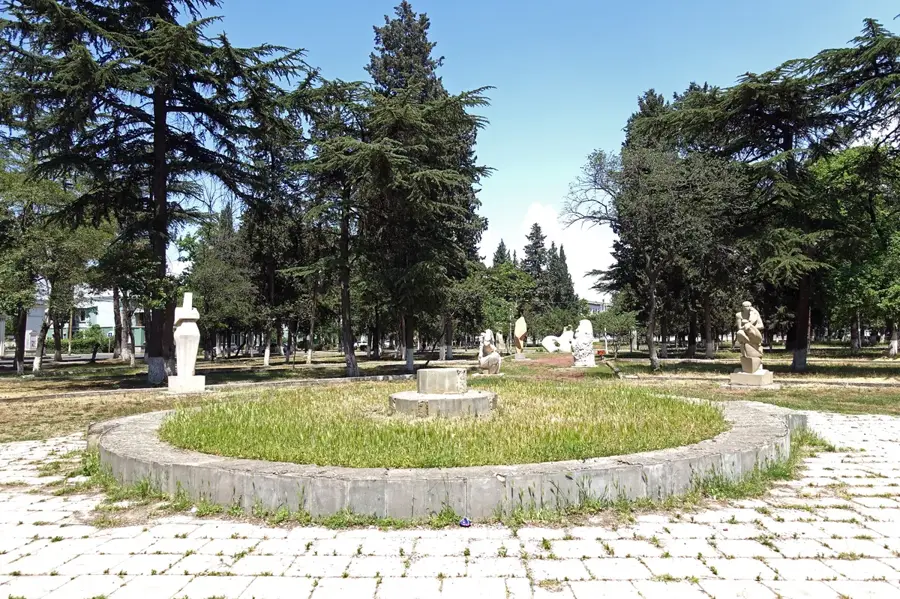
Explore nearby
Notable places around
Route planner — Car & Motorhome
Where do you start? We build the route here, with stops and country notes along the way.
© OpenStreetMap contributors · OpenRouteService
Sights in the town Trialeti Range (3)
Sights nearby
Frequently asked questions
Where is the Trialeti Range located?
What well-known places are in the Trialeti Range?
How high is the highest peak?
Is the range suitable for hiking?
When is the best time to visit?
Trialeti Range: where is it located?
Trialeti Range: what is there to see?
Trialeti Range: when is the best time to visit?
Trialeti Range: why is it worth visiting?

Nearby cities


History & landmarks
Nature
More places