Plizio Visual Lab
Aragvi River
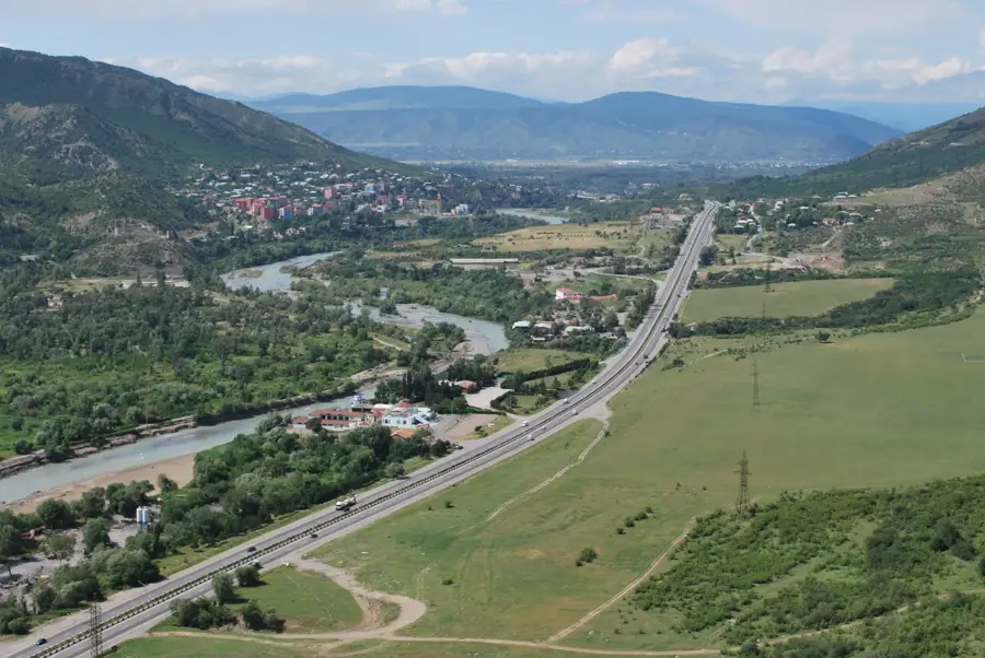
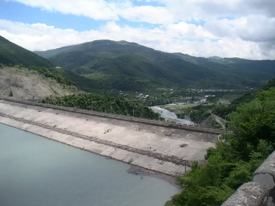
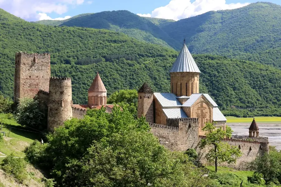
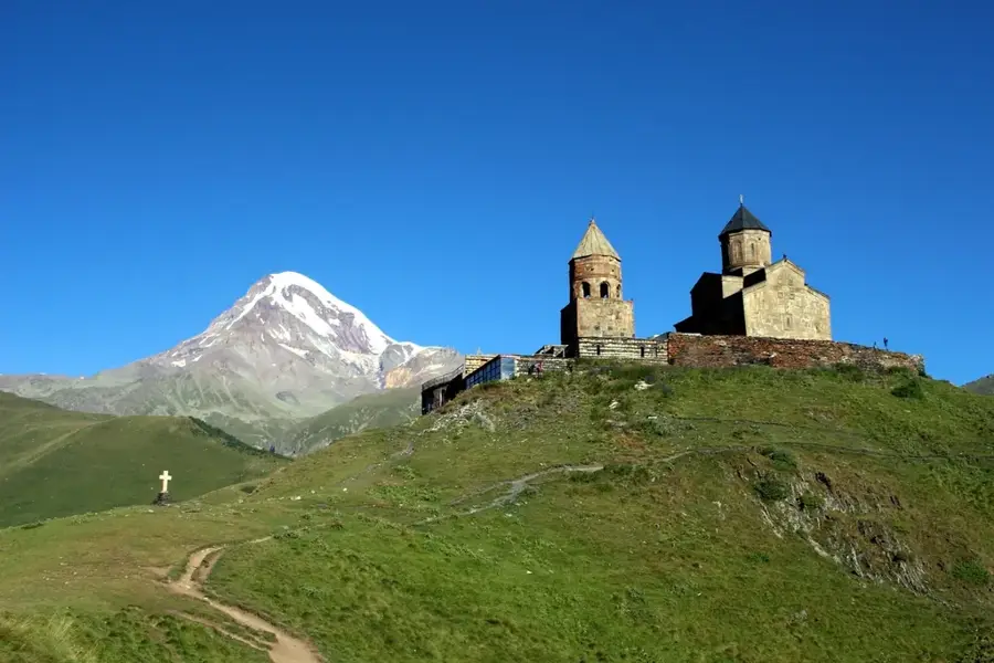
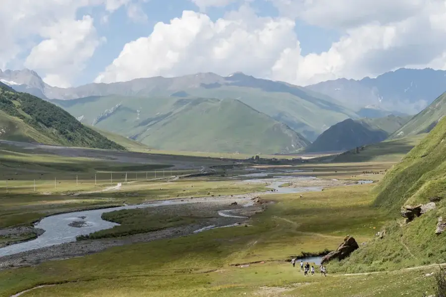
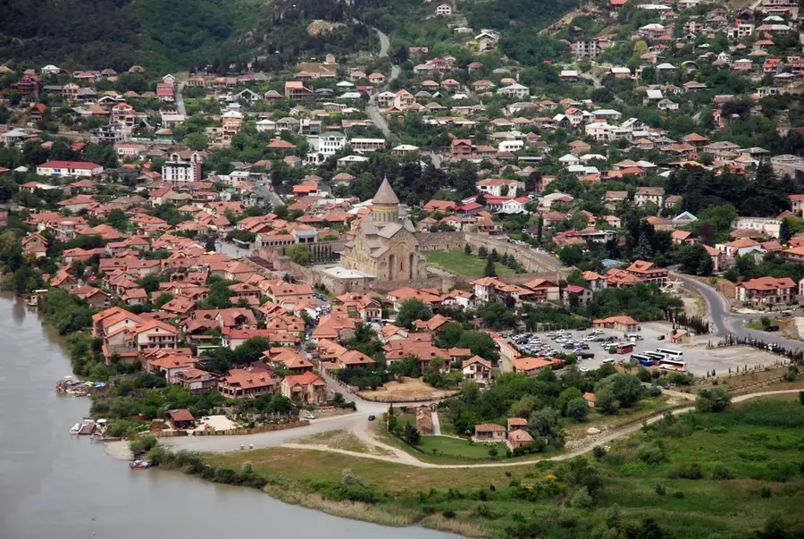
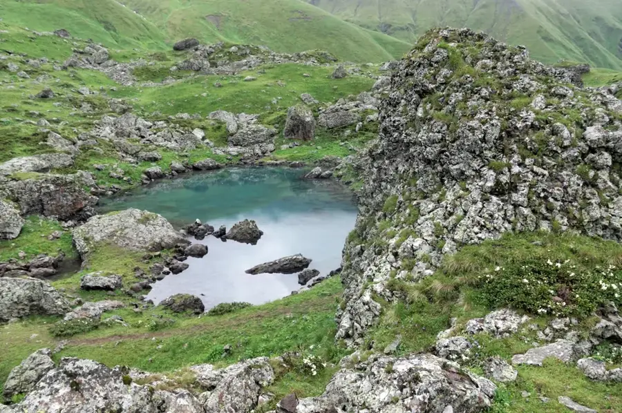
The Aragvi is one of the most significant rivers in eastern Georgia and a major tributary of the Kura (Mtkvari). It originates in the Greater Caucasus and is formed by the confluence of the White Aragvi (Tetri Aragvi) and the Black Aragvi (Shavi Aragvi) near Pasanauri. The river is approximately 112 kilometers long and drains a catchment area of about 2,724 square kilometers. Strategically and historically, the Aragvi valley is of great importance as the famous Georgian Military Highway runs along its course. In 1986, the Zhinvali dam was completed, which impounds the river to form a reservoir providing the capital Tbilisi with drinking water and electricity. Significant cultural monuments, such as the Ananuri fortress overlooking the valley, are located on the banks of the river. The Aragvi is also a popular destination for rafting and kayaking, especially in spring during the snowmelt. The colors of the different source branches often remain distinguishable for kilometers after their confluence, which is a striking visual feature of the river.
- Location: Georgia
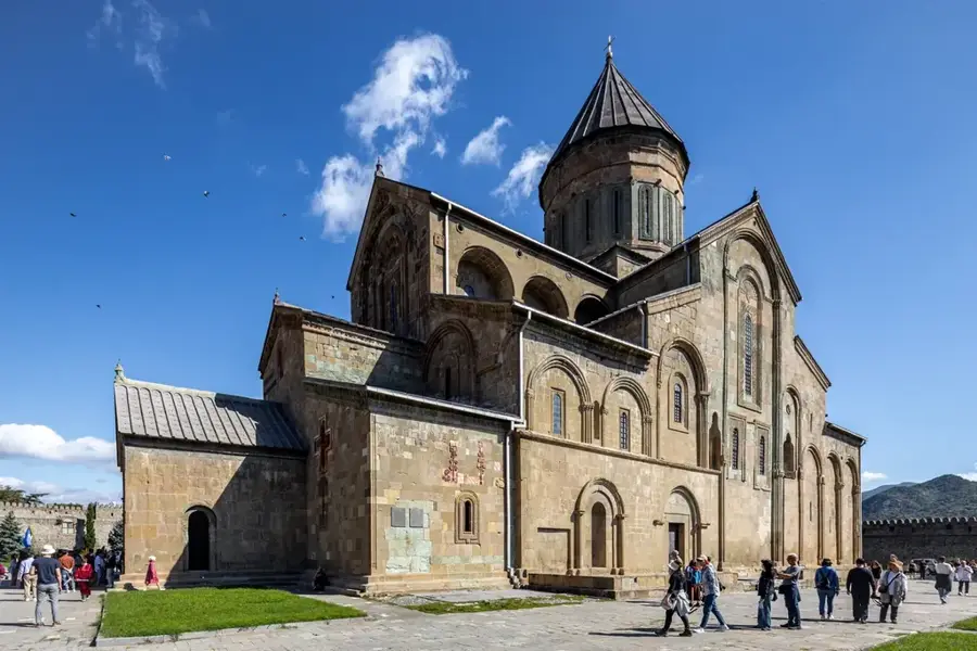
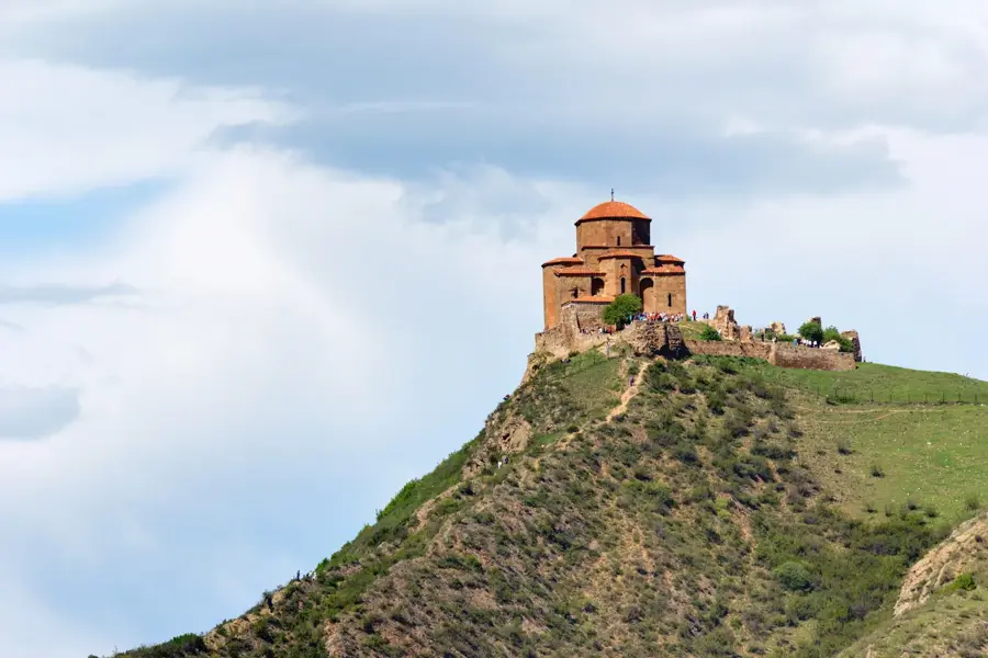
- Top sights: Pompey's bridge · Armaziskhevi Complex · Church of Saint Nino
- Nearby: Marneuli (30 km)
📋 Practical info
Geography
Facts
- The total length of the Aragvi is approximately 112 kilometers.
- The Zhinvali reservoir has a maximum depth of 75 meters.
- The Zhinvali dam was put into operation in the year 1986.
- The river flows into the Kura (Mtkvari) near Mtskheta.
- The catchment area covers approximately 2,724 square kilometers.
- The White and Black Aragvi unite at the town of Pasanauri.
Explore nearby
Notable places around
Route planner — Car & Motorhome
Where do you start? We build the route here, with stops and country notes along the way.
© OpenStreetMap contributors · OpenRouteService
Sights in the town Aragvi River (9)
Sights nearby
Frequently asked questions
What sporting activities are possible on the Aragvi river?
What is special about the confluence of Black and White Aragvi?
When is the best time for rafting?
Is the river suitable for swimming?
What attractions are located along the Aragvi?
Aragvi River: where is it located?
Aragvi River: what is there to see?
Aragvi River: why is it worth visiting?

Nearby cities
Nature
More places