Plizio Visual Lab
Vashlovani National Park
Weather…
Water temperature…
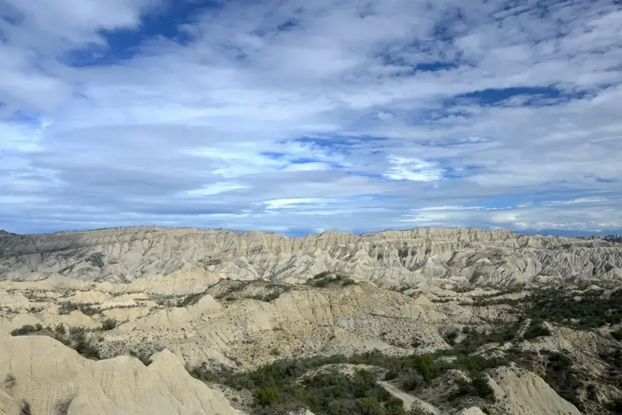
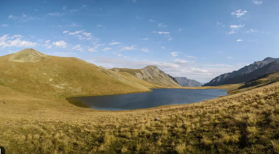
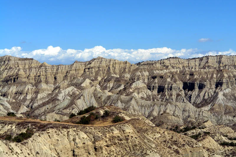
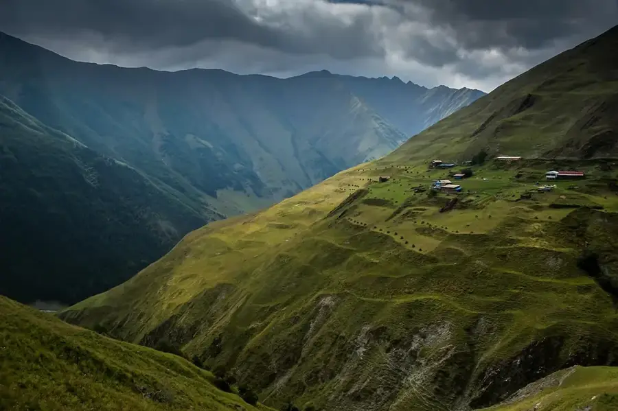
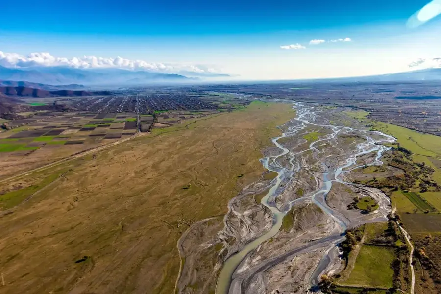
Vashlovani National Park is located in the extreme southeast of Georgia on the border with Azerbaijan, covering an area of approximately 25,114 hectares. The landscape is unique for the region, characterized by a semi-arid climate, impressive badlands, deep canyons, and steppe vegetation. Originally, the area was designated as a nature reserve as early as 1935 to protect rare pistachio forests and the Caucasian leopard. Geologically, the area is known for its fossil sites and mud volcanoes, which bear witness to the region's marine past. The Pantishara Canyon gives spectacular geological formations, often referred to as the 'city of swallows'. Despite the dry conditions, the park hosts a diverse fauna, including striped hyenas, brown bears, and a vast variety of birds of prey. In recent years, traces of the extremely rare Caucasian leopard have been repeatedly documented here. The vegetation is dominated by wild pistachio trees and juniper, which have adapted to the extreme temperature fluctuations.
- Location: Georgia
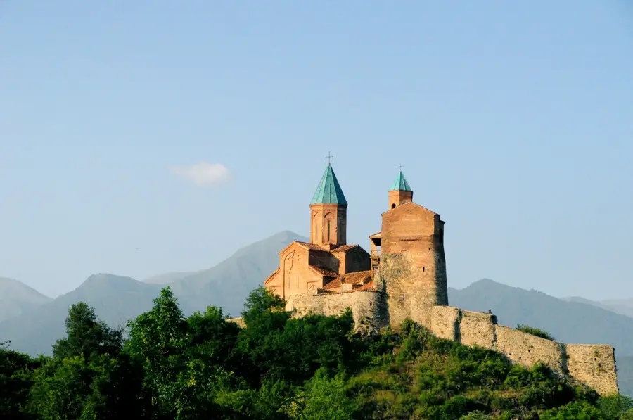
- Top sights: alesilebis xedi · Pantishira Canyon · Bear Canyon
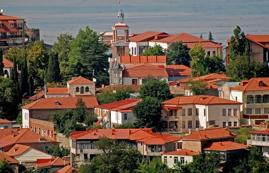
- Nearby: Gurjaani (85 km)
Best time to visit & climate
The most pleasant time to visit is May, Jun, Sep.
| Jan | Feb | Mar | Apr | May | Jun | Jul | Aug | Sep | Oct | Nov | Dec | |
|---|---|---|---|---|---|---|---|---|---|---|---|---|
| Avg °C | 3 | 5 | 9 | 14 | 20 | 25 | 28 | 28 | 23 | 16 | 9 | 4 |
| Rain mm | 18 | 20 | 33 | 47 | 61 | 44 | 28 | 25 | 33 | 41 | 23 | 14 |
📋 Practical info
Geography
Facts
- The first reserve was established as early as 1935.
- The national park category was officially granted in the year 2003.
- The Takhti-Tepha mud volcanoes are located within the park.
- The area is situated at an average altitude of 300 to 600 meters.
- Fossilized elephant bones were discovered in the Pantishara Canyon.
- The park is home to over 600 different plant species.
Explore nearby
Notable places around
Route planner — Car & Motorhome
Where do you start? We build the route here, with stops and country notes along the way.
© OpenStreetMap contributors · OpenRouteService
Sights in the town Vashlovani National Park (4)
Sights nearby
Frequently asked questions
What makes Vashlovani National Park unique?
Do I need a permit to visit?
Are there wild animals in the park?
Can you camp in the park?
When is the best time to visit Vashlovani?
Vashlovani National Park: where is it located?
Vashlovani National Park: what is there to see?
Vashlovani National Park: when is the best time to visit?
Vashlovani National Park: why is it worth visiting?

Nearby cities


History & landmarks
Nature
More places