Plizio Visual Lab
Iori Plateau
Weather…
Water temperature…
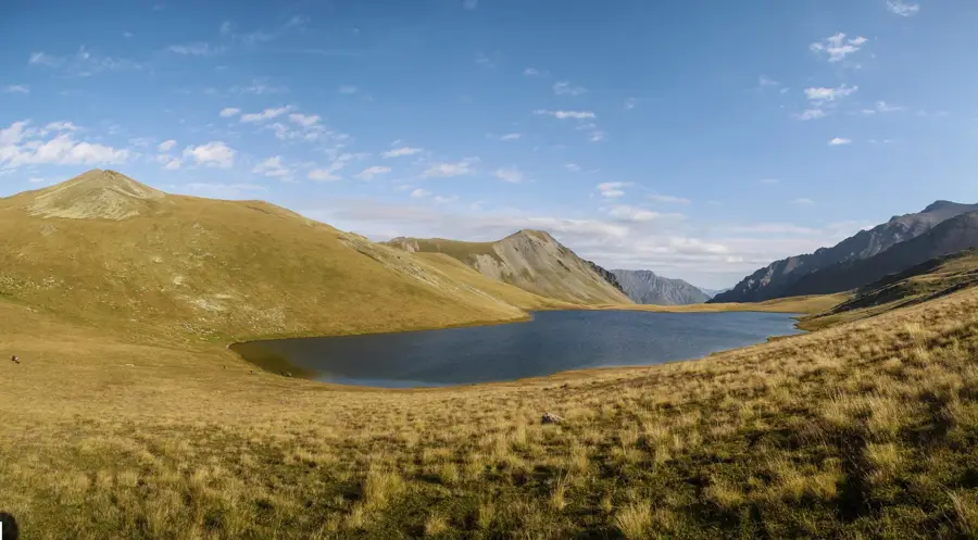
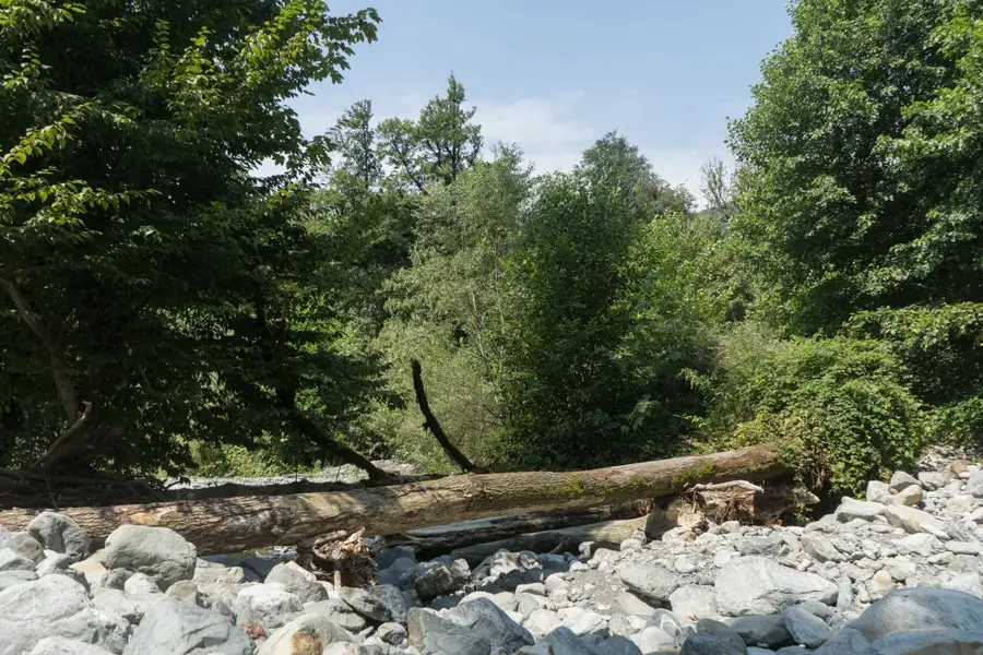
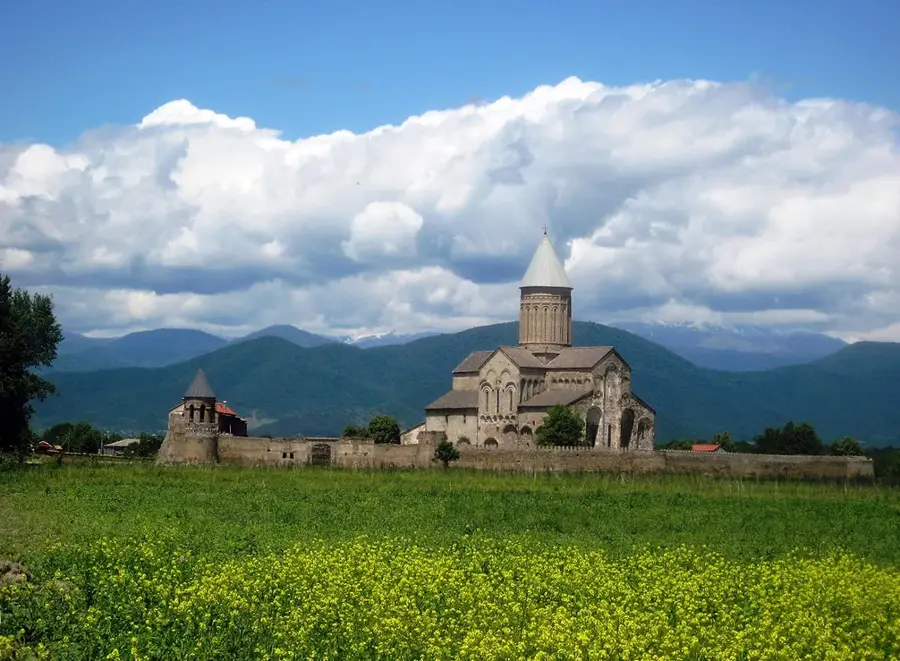
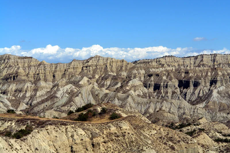
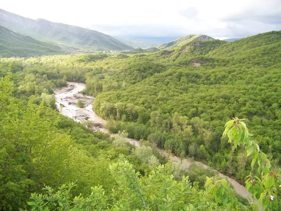
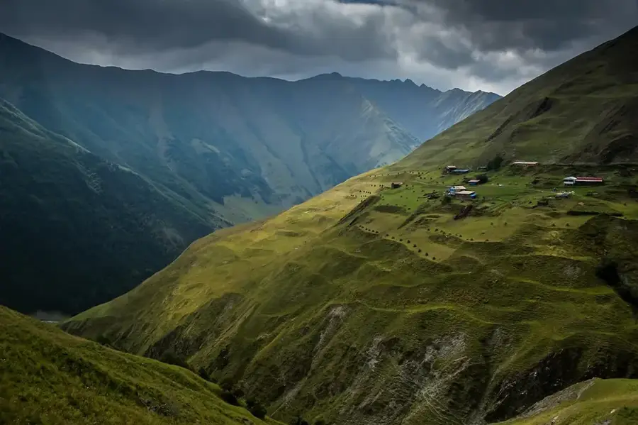
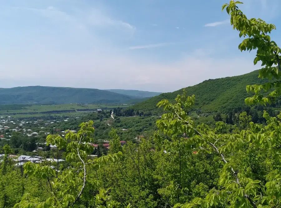
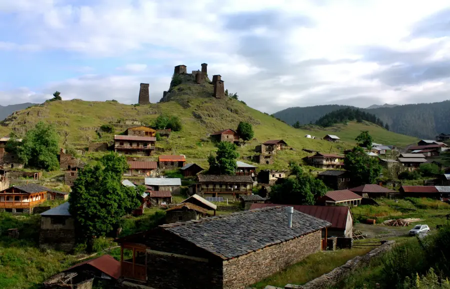
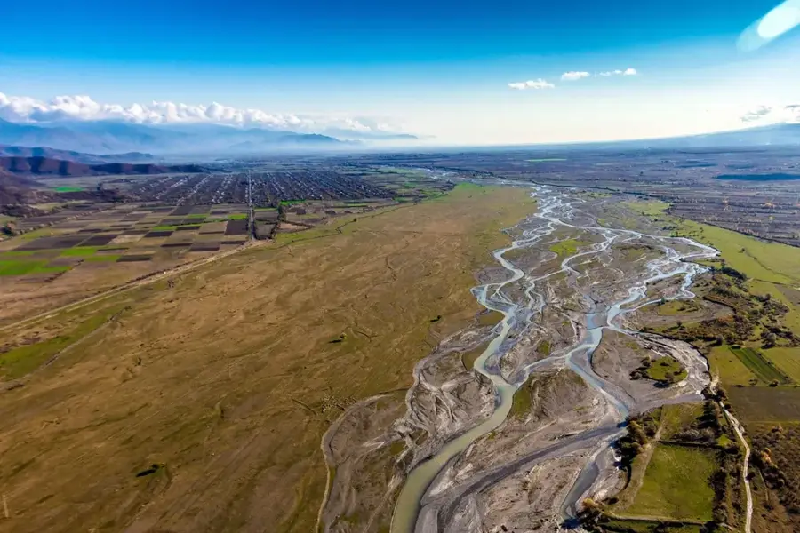
The Iori Plateau stretches across eastern Georgia, situated between the river valleys of the Iori and Alazani in the Kakheti region. This hilly upland lies at an elevation of approximately 500 to 800 meters and is defined by a dry, continental climate that has led to the formation of steppe and semi-desert landscapes. Geologically, the plateau is composed of Neogene sedimentary rocks such as sandstone, clay, and conglomerates, which erosion has often sculpted into distinct, rugged forms. Vegetation is sparse, consisting mainly of grasses and thorny shrubs, making the region an essential winter pasture for sheep flocks. During antiquity and the Middle Ages, the plateau was more densely populated, as evidenced by archaeological finds and ruins, but today it is sparsely inhabited due to water scarcity. The area encompasses several nature reserves dedicated to protecting rare plant species and birds of prey, such as the griffon vulture. The plateau's modern economic significance lies primarily in extensive pastoralism and scattered viticulture along its fringes.
- Location: Georgia
- Top sights: p`oni md. iorze mag'ali gamavlobis avtomobilebist`vis · p`erma · Kilakupra Mud Volcanoes
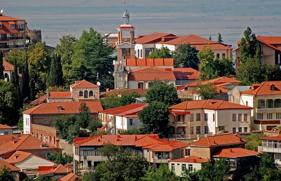
- Nearby: Gurjaani (35 km)
Best time to visit & climate
The most pleasant time to visit is Jun, Aug, Sep.
| Jan | Feb | Mar | Apr | May | Jun | Jul | Aug | Sep | Oct | Nov | Dec | |
|---|---|---|---|---|---|---|---|---|---|---|---|---|
| Avg °C | 2 | 3 | 8 | 12 | 18 | 24 | 27 | 26 | 21 | 14 | 8 | 3 |
| Rain mm | 23 | 24 | 40 | 62 | 78 | 52 | 38 | 36 | 45 | 50 | 29 | 18 |
📋 Practical info
Geography
Facts
- The plateau is situated at an average elevation of 500 to 800 meters.
- The region receives only about 300 to 600 mm of annual precipitation.
- The geological structure consists of Miocene and Pliocene sedimentary deposits.
- Vashlovani National Park is a key protected area within the Iori Plateau.
- The steppe has served as a traditional winter grazing ground for centuries.
- The plateau is one of the most significant habitats for griffon vultures in Georgia.
Explore nearby
Notable places around
Route planner — Car & Motorhome
Where do you start? We build the route here, with stops and country notes along the way.
© OpenStreetMap contributors · OpenRouteService
Sights in the town Iori Plateau (5)
Sights nearby
Frequently asked questions
What characterizes the Iori Plateau?
Which nature reserves are located here?
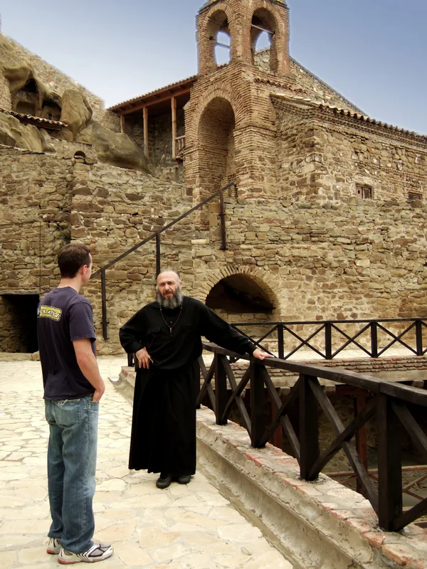
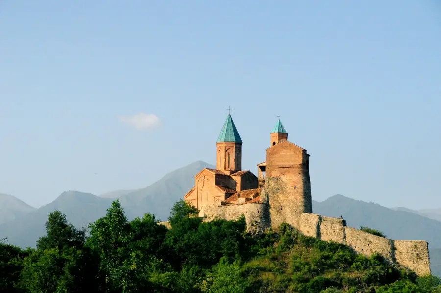
Can you visit monasteries there?
How is the climate on the plateau?
Do you need a special vehicle for exploration?
Iori Plateau: where is it located?
Iori Plateau: what is there to see?
Iori Plateau: when is the best time to visit?
Iori Plateau: why is it worth visiting?

Nearby cities


History & landmarks
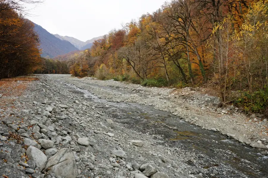
Nature
More places