Plizio Visual Lab
Lagodekhi Protected Areas
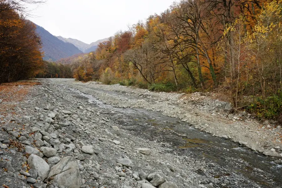
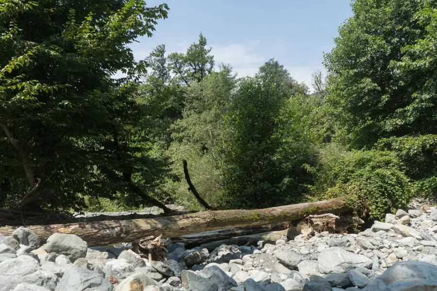
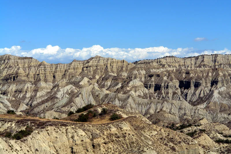
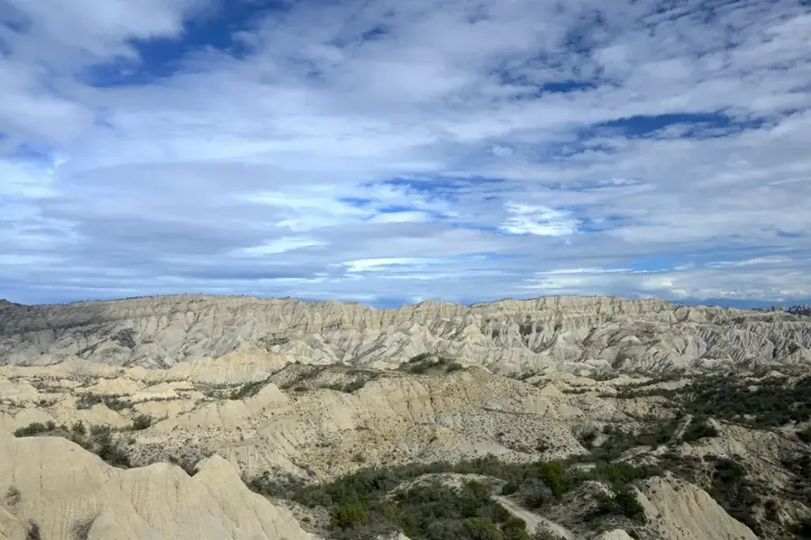
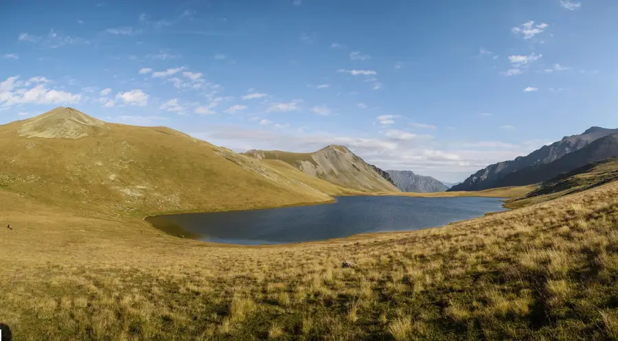
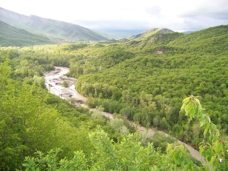
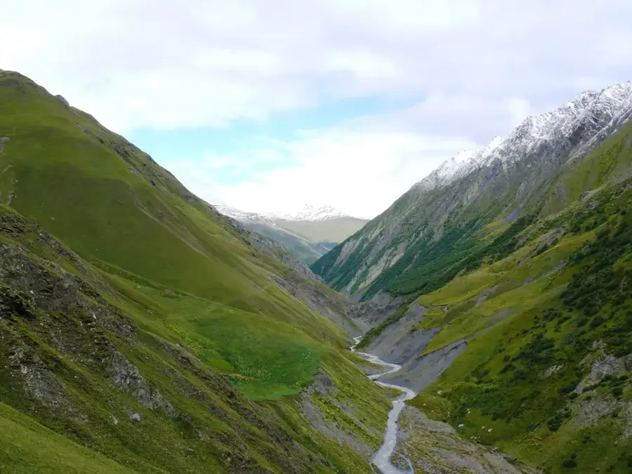
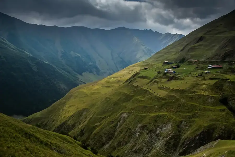
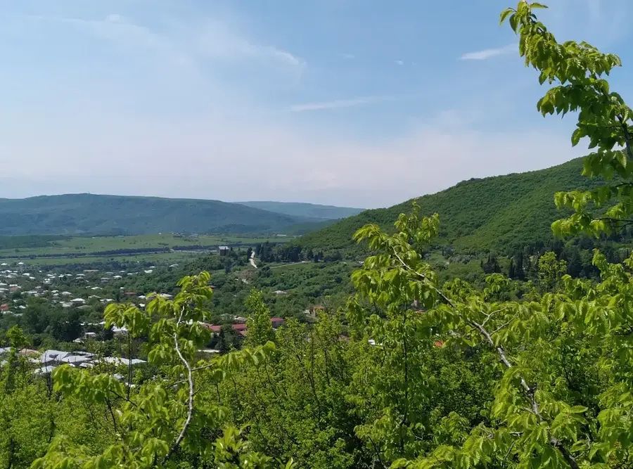
The Lagodekhi Protected Areas are located in the extreme east of Georgia on the southern slopes of the Greater Caucasus, bordering Azerbaijan and Dagestan. Established in 1912, it is the oldest nature reserve in the country and one of the first in the entire Russian Empire. The territory covers an area of approximately 24,451 hectares and is characterized by an enormous vertical zonation, ranging from subtropical forests to alpine meadows at over 3,000 meters. Lagodekhi is famous for its untouched beech forests and spectacular waterfalls, such as 'Ninoskhevi' and the 'Roaring Waterfall'. A highlight for hikers is the trail to Black Rock Lake, a glacial lake situated exactly on the border between Georgia and Russia. The biodiversity is exceptionally high; the area hosts rare species such as the East Caucasian tur, brown bears, and bearded vultures. The protected area serves as an open-air laboratory for biologists and is a prime example of preserving undisturbed Caucasus ecosystems for over a century.
- Location: Georgia
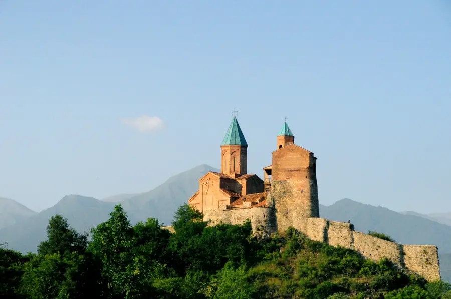
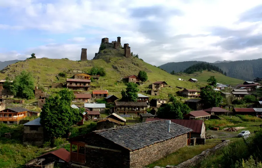
- Top sights: Dog Hill · c`ixis nangrevi · Machi
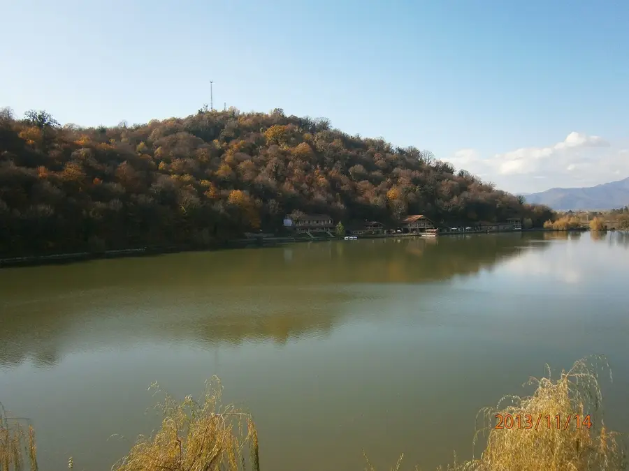
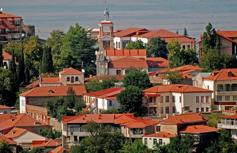
- Nearby: Kvareli (52 km)
Best time to visit & climate
The most pleasant time to visit is Jun–Aug.
| Jan | Feb | Mar | Apr | May | Jun | Jul | Aug | Sep | Oct | Nov | Dec | |
|---|---|---|---|---|---|---|---|---|---|---|---|---|
| Avg °C | -7 | -5 | -1 | 4 | 10 | 15 | 18 | 18 | 13 | 7 | 0 | -5 |
| Rain mm | 25 | 27 | 43 | 66 | 83 | 61 | 48 | 43 | 54 | 54 | 32 | 21 |
📋 Practical info
Geography
Facts
- The Lagodekhi reserves were established in the year 1912.
- The protected area now covers around 24,451 hectares of land.
- The Ninoskhevi waterfall has a height of approximately 40 meters.
- Black Rock Lake is situated at an altitude of 2,900 meters.
- There are over 1,100 different plant species within the protected area.
- About 15% of the plant species are endemic to the Caucasus.
Explore nearby
Notable places around
Route planner — Car & Motorhome
Where do you start? We build the route here, with stops and country notes along the way.
© OpenStreetMap contributors · OpenRouteService
Sights in the town Lagodekhi Protected Areas (6)
Sights nearby
Frequently asked questions
What is the main attraction of Lagodekhi?
How difficult is the hike to Black Rock Lake?
Can you see wildlife in the park?
Is there a visitor center?
Do I need a guide for the hikes?
Lagodekhi Protected Areas: where is it located?
Lagodekhi Protected Areas: what is there to see?
Lagodekhi Protected Areas: when is the best time to visit?
Lagodekhi Protected Areas: why is it worth visiting?

Nearby cities

History & landmarks
Nature
More places