Plizio Visual Lab
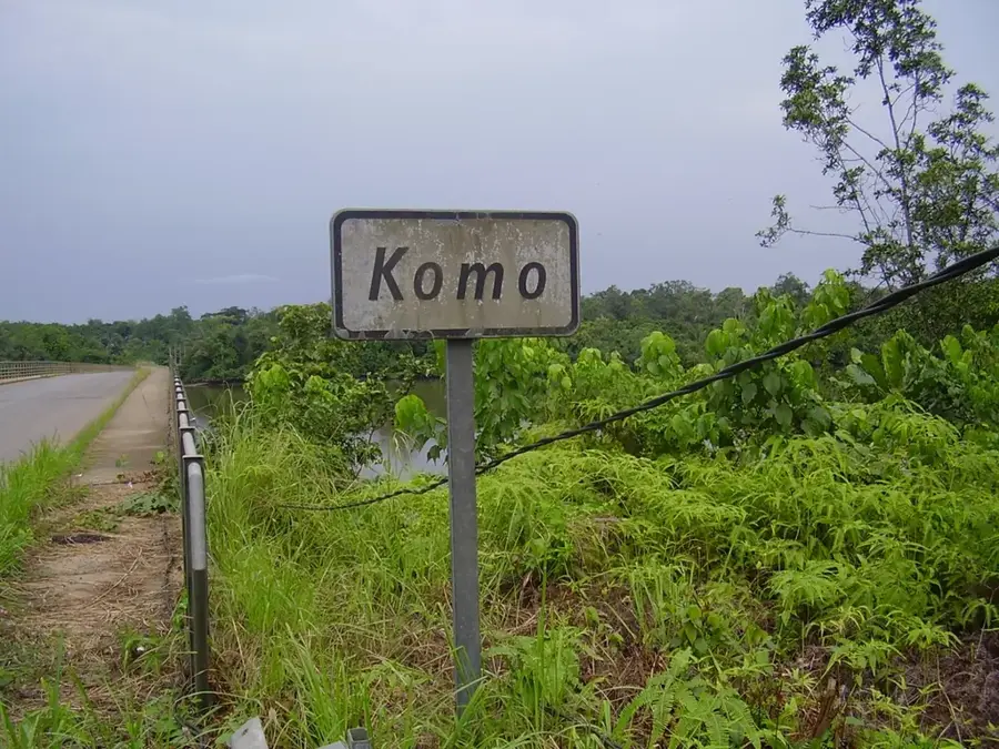
Komo River
Weather…
Water temperature…
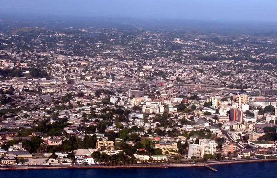
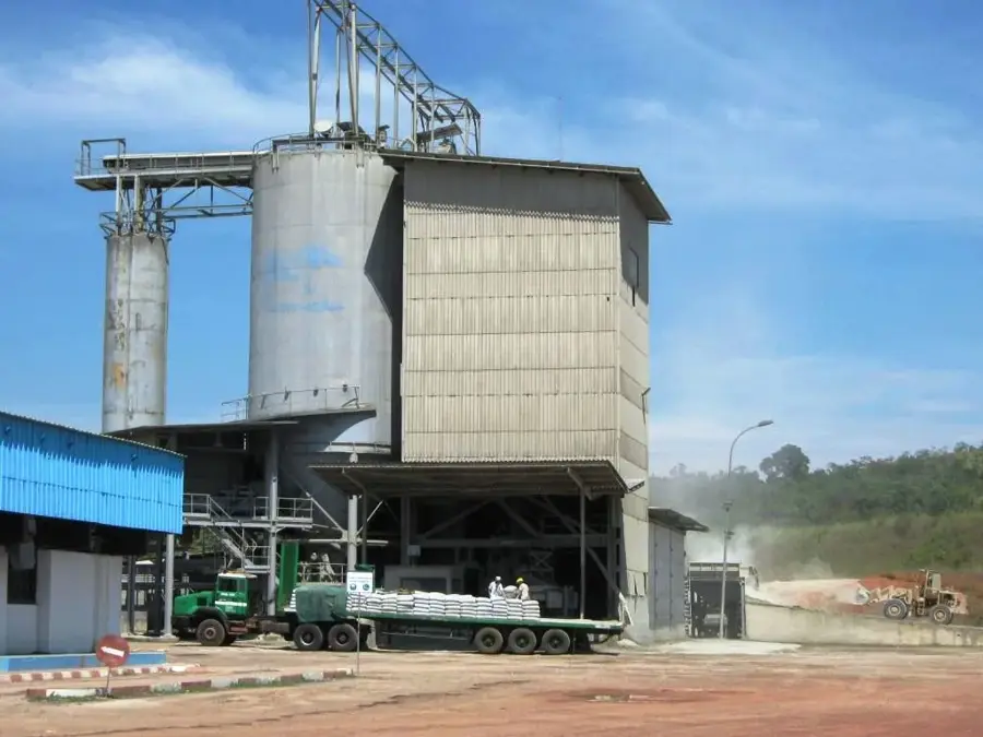
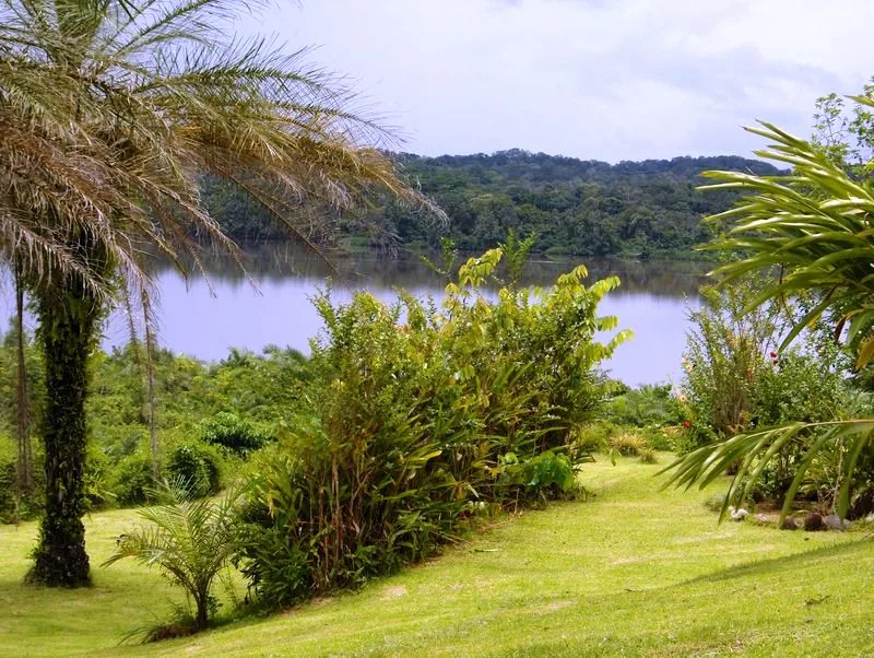
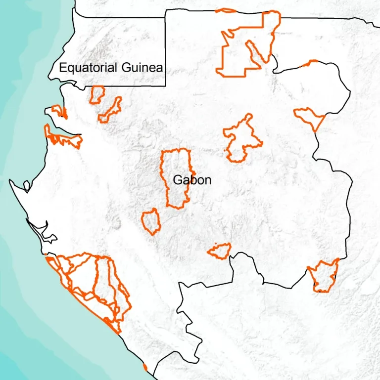
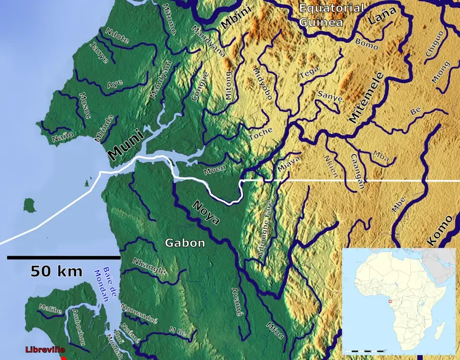
The Komo River is one of Gabon's most significant waterways, originating in the Crystal Mountains in the north of the country. It flows westward and eventually empties into the Gabon Estuary, on whose banks the capital Libreville is situated. The river is geographically important as its lower course serves as a navigable access to the interior, which historically facilitated the development of Gabon. Along its course are significant hydroelectric plants like Kinguélé and Tchimbélé, which generate most of the electricity for the capital region. The banks of the Komo are lined with dense mangrove forests, forming a vital ecosystem for numerous fish species and birds. The river plays a central role in transportation, especially for the timber industry, as logs are floated downstream to the ports. Despite industrial use, the upper course of the Komo remains largely untouched and hosts rich aquatic biodiversity under the protection of adjacent national parks.
- Location: Gabon
- Top sights: Komo (department) · Kango
- Nearby: Ntoum (46 km)
Best time to visit & climate
The most pleasant time to visit is Jun–Aug.
| Jan | Feb | Mar | Apr | May | Jun | Jul | Aug | Sep | Oct | Nov | Dec | |
|---|---|---|---|---|---|---|---|---|---|---|---|---|
| Avg °C | 26 | 26 | 26 | 26 | 26 | 25 | 24 | 24 | 25 | 25 | 25 | 26 |
| Rain mm | 203 | 190 | 277 | 261 | 195 | 47 | 12 | 25 | 112 | 362 | 395 | 228 |
📋 Practical info
Geography
Facts
- Originates in the Crystal Mountains highlands near the Equatorial Guinea border.
- The Kinguélé and Tchimbélé hydroelectric plants are located on its course.
- The river flows into the Atlantic after about 230 kilometers near Libreville.
- The mangroves on the lower course are among the best preserved in Central Africa.
- Most important transport route for the export of Okoumé timber in colonial times.
- Its estuary is over 10 kilometers wide at the mouth.
Explore nearby
Notable places around
Route planner — Car & Motorhome
Where do you start? We build the route here, with stops and country notes along the way.
© OpenStreetMap contributors · OpenRouteService
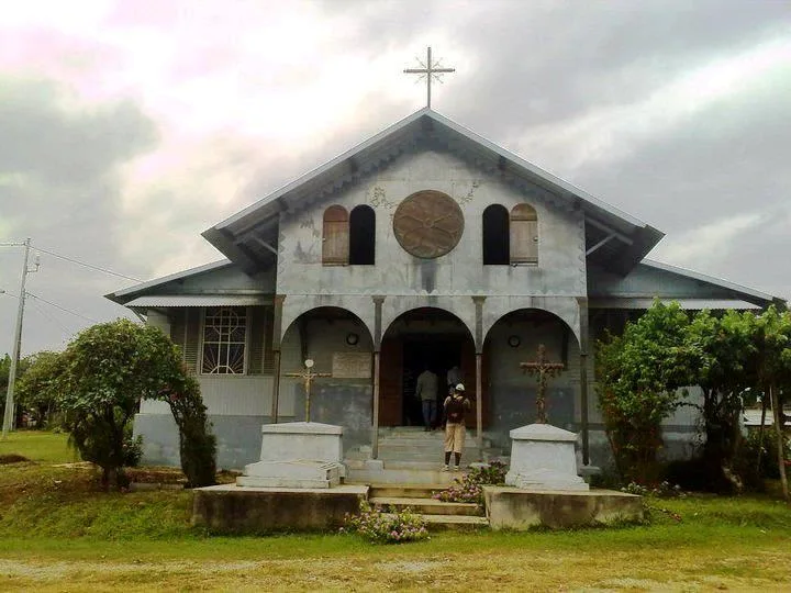
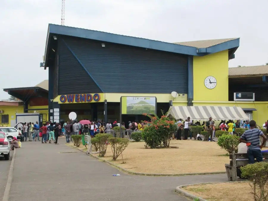
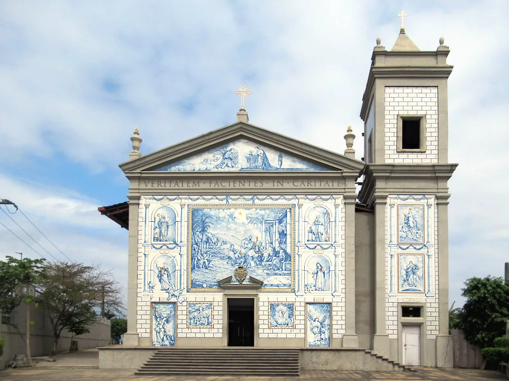
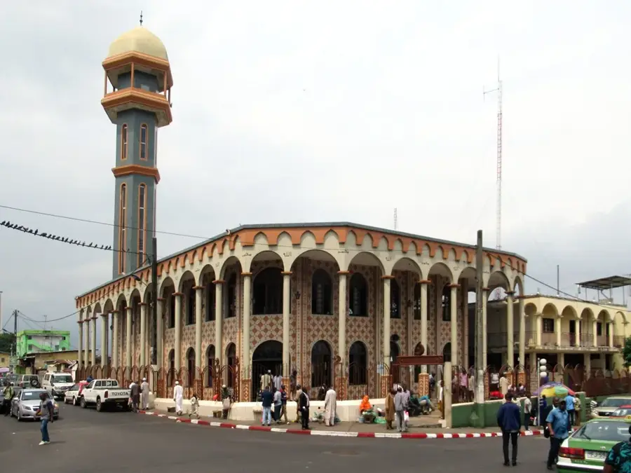
Sights in the town Komo River (2)
Sights nearby
Frequently asked questions
What role does the Komo River play for Libreville?
Are boat tours available on the Komo River?
What fish are found in the river?
Are there bridges over the Komo?
How far does the Komo estuary extend?
Komo River: where is it located?
Komo River: what is there to see?
Komo River: when is the best time to visit?
Komo River: why is it worth visiting?

Nearby cities

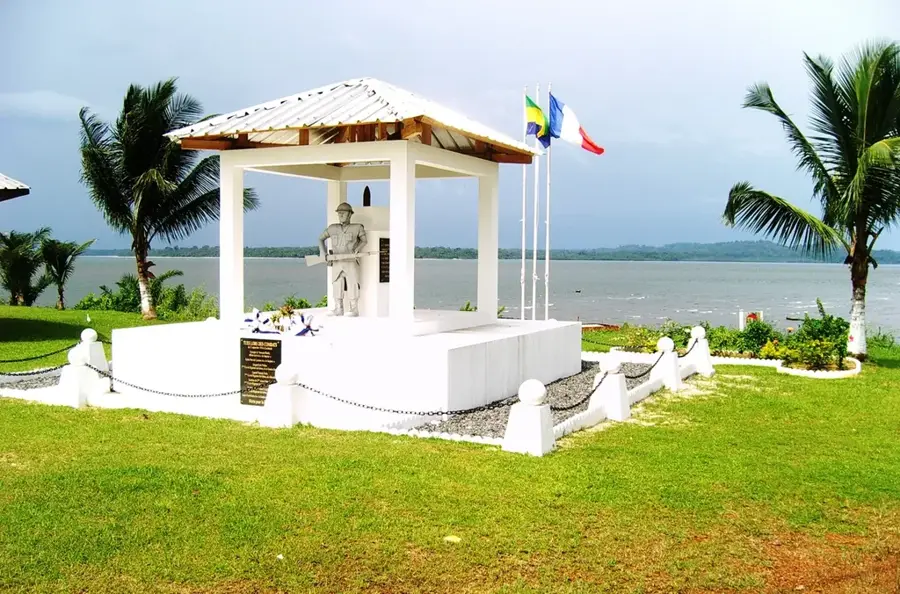
History & landmarks


Nature
More places