Plizio Visual Lab
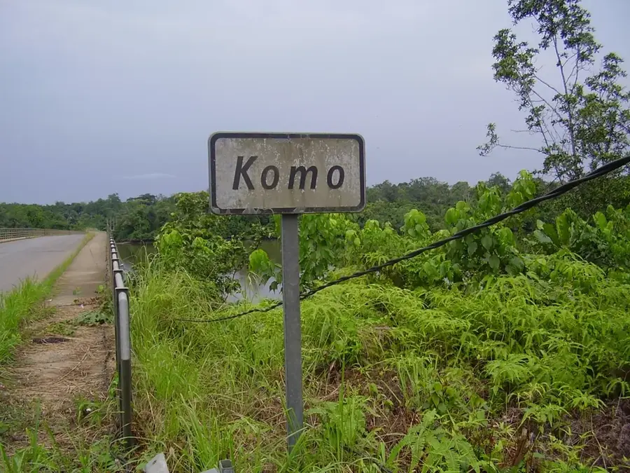
Kango
ℹ️Practical info — Kango
▾
🌤 Weather — 5 days
📍 Nearby
Sights nearby
💡 Tips
- The Komo River bridge is a major landmark; the best time for photos is early morning when the mist is rising off the water.
- Transport along the main N1 highway is frequent, but getting around the town itself is best done on foot or via local motorcycle taxis.
- Always carry cash, as ATMs are scarce and small vendors near the bridge only accept CFA francs.
- Mosquito repellent is a must, especially in the evenings near the river.
🍽 Food
Try the locally caught fish from the Komo River, often grilled and served in small 'maquis' (eateries) near the bridge.
A Gabonese classic chicken in palm nut sauce; look for it in family-run restaurants along the main road.
The cassava stick is the staple side dish, widely available from street food vendors.
🛍 Shopping · 🧘 Quiet spots
Excellent for picking up fresh bananas, mangoes, and papayas directly from local farmers.
Vendors near the river and the highway sell traditional smoked fish, a local specialty.
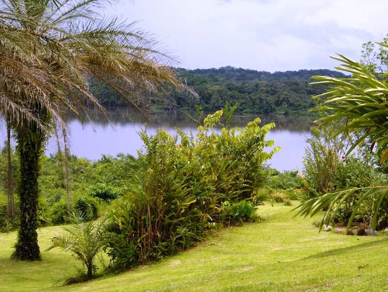
Find a spot slightly away from the main bridge for a peaceful view of the wide river and surrounding forest.
A short walk away from the N1 highway reveals quiet, slow-paced residential paths.
Water temperature…
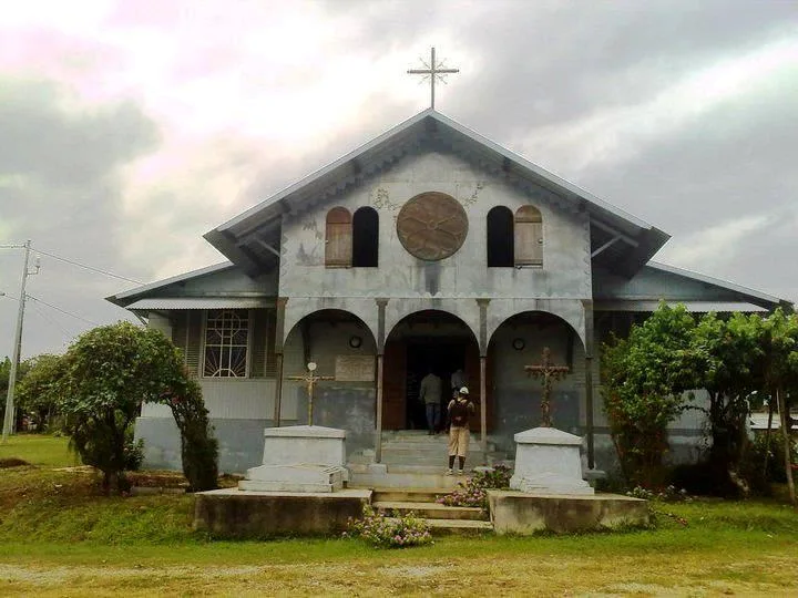
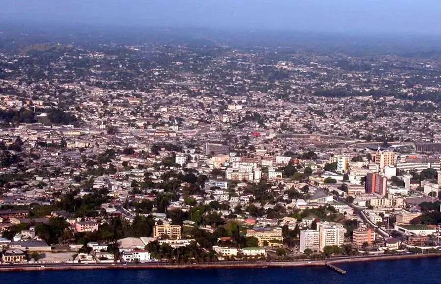
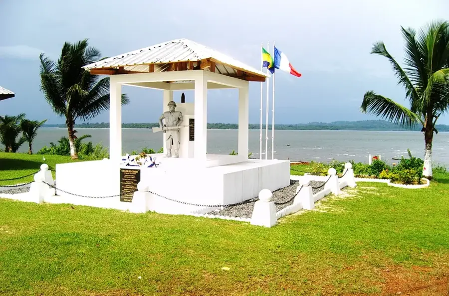
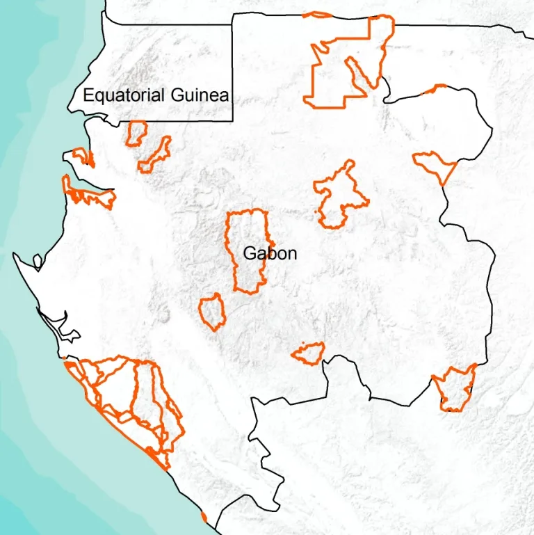
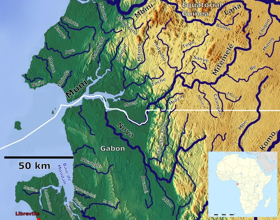
Kango is a strategically important small town in the Estuaire province, located about 100 kilometers east of Libreville on the banks of the Komo River. The town functions as a crucial transport hub, as the N1 national road crosses the river here via two monumental bridges, connecting the capital with the interior of the country. Historically, Kango was a significant site for timber rafting and trade in agricultural goods. Its geographic location in the Komo estuary provides a landscape of extensive swamps and dense rainforests rich in wildlife. Economically, the town benefits from its role as a transit station and from fishing in the river delta. Near Kango is the Akanda National Park, famous for its mangroves and migratory birds. The town itself houses a mix of modern transit infrastructure and traditional settlement structures. Kango is also an administrative center for the Komo-Kango department and plays a key role in Gabon's regional logistics.
- Location: Gabon
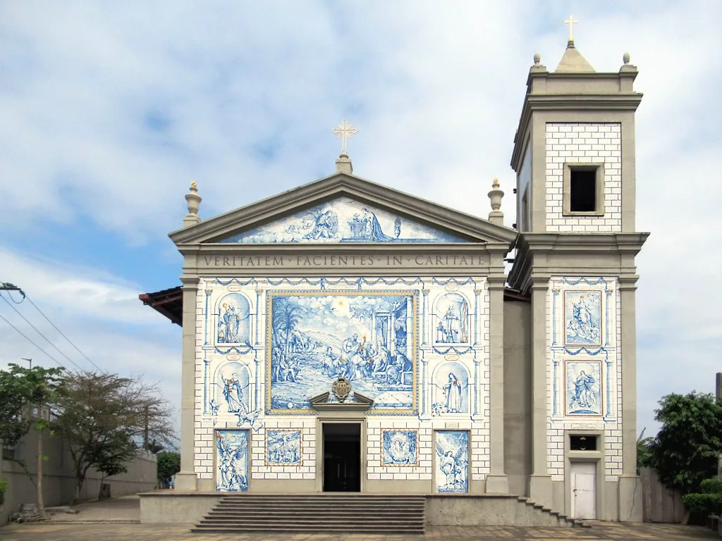
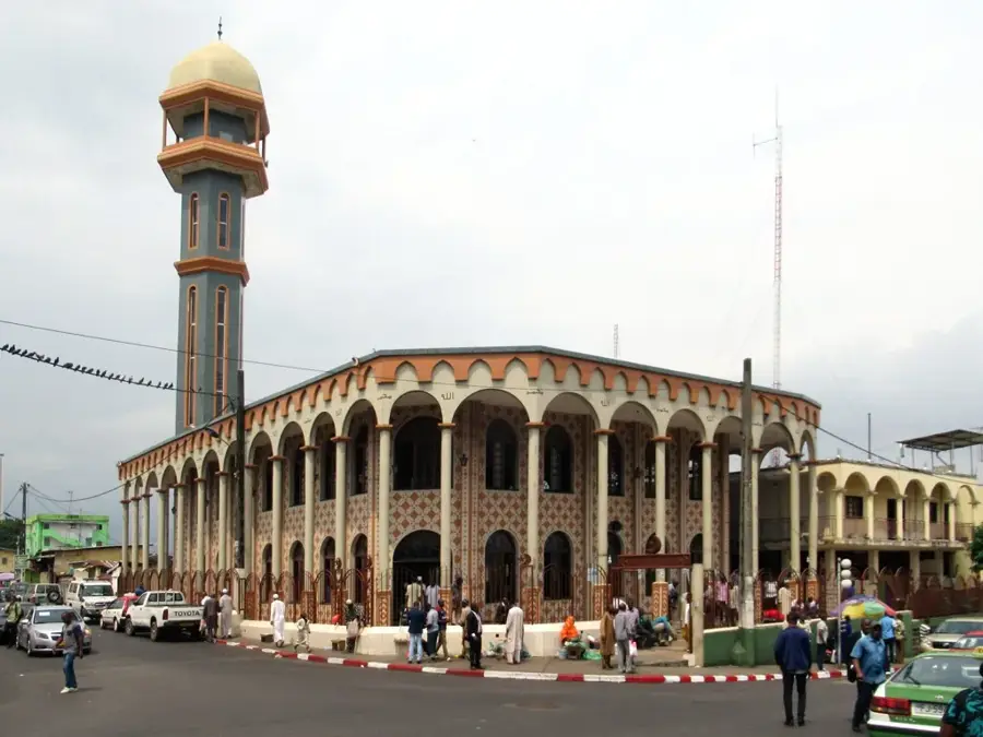
- Top sights: Komo River · Komo (department)
- Nearby: Ntoum (46 km)
- Population: ~5.734 (2023)
Best time to visit & climate
The most pleasant time to visit is Jun–Aug.
| Jan | Feb | Mar | Apr | May | Jun | Jul | Aug | Sep | Oct | Nov | Dec | |
|---|---|---|---|---|---|---|---|---|---|---|---|---|
| Avg °C | 26 | 26 | 26 | 26 | 26 | 25 | 24 | 24 | 25 | 25 | 25 | 26 |
| Rain mm | 203 | 190 | 277 | 261 | 195 | 47 | 12 | 25 | 112 | 362 | 395 | 228 |
Geography
Facts
- The bridges of Kango were constructed in the early 1970s.
- The town is located in the tidal zone of the Komo, which strongly influences water levels.
- Kango is a main center for shrimp fishing in the region.
- The Trans-Gabon railway line passes not far from the town.
- The climate is equatorial with an annual rainfall of approximately 2,800 mm.
- The population of the Kango municipality is about 4,500 people.
Explore nearby
Notable places around
Route planner — Car & Motorhome
Where do you start? We build the route here, with stops and country notes along the way.
© OpenStreetMap contributors · OpenRouteService
Sights in the town Kango (2)
Frequently asked questions
Why do people usually stop in Kango?
How far is Kango from Libreville?
Can you take boat trips there?
Are there good restaurants?
What is the Mascaret tidal phenomenon?
Kango: where is it located?
Kango: what is there to see?
Kango: when is the best time to visit?
Kango: why is it worth visiting?

Nearby cities

History & landmarks


Nature
More places