Plizio Visual Lab
Stabbursdalen National Park
Weather…
Water temperature…
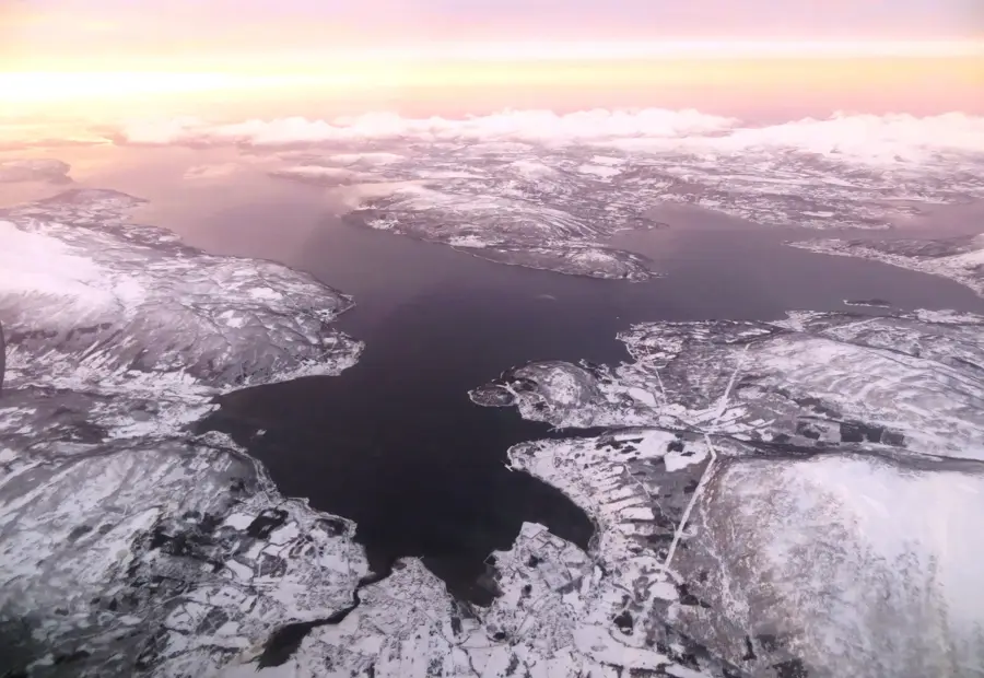
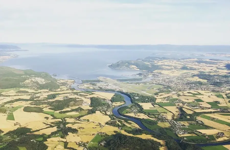
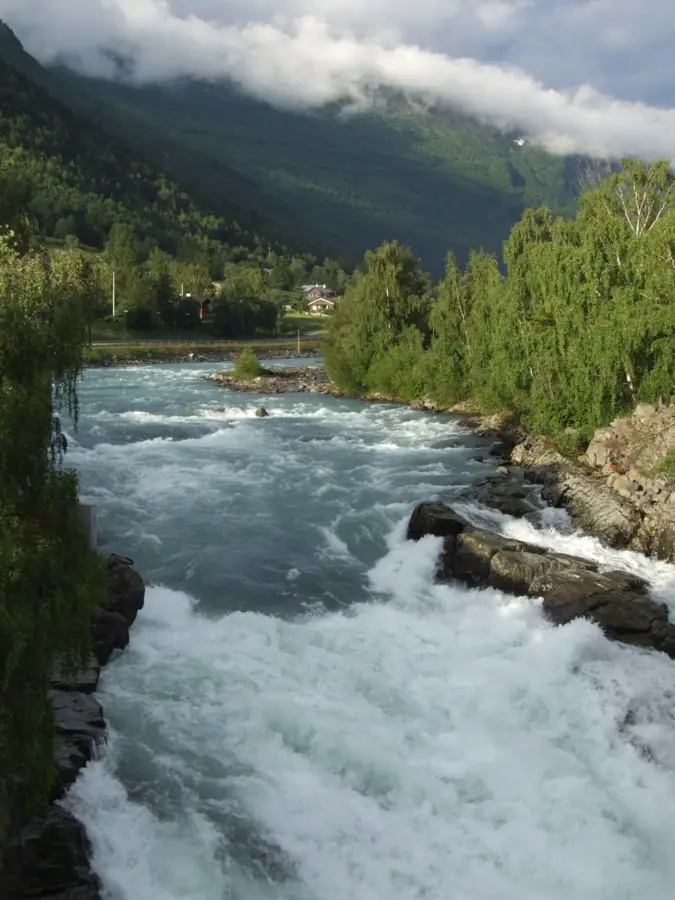
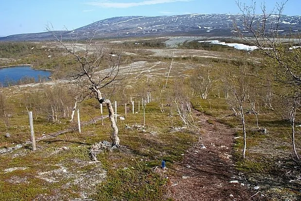
Stabbursdalen National Park was established in 1970 and expanded in 2002 to its current size of 747 square kilometres. Located in Finnmark county, far above the Arctic Circle, it protects the world's northernmost pine forest. This isolated pocket of timber is a remnant from a warmer post-glacial period, having survived for millennia in the extreme conditions of the high north. The Stabburselva river flows through the park, carving out spectacular waterfalls like Rávttosfossen and deep canyons through ancient sandstone. The landscape transitions from dense pine groves to barren mountain plateaus used by Sami herders for seasonal reindeer grazing. The park is a vital habitat for Eurasian otters and numerous bird species, including the endangered lesser white-fronted goose. For anglers, the Stabburselva is renowned as one of the region's premier salmon rivers, though strict conservation quotas are enforced. The unique combination of an Arctic river system and ancient coniferous forest makes Stabbursdalen an ecological treasure within the vast Arctic wilderness.
- Location: Norway
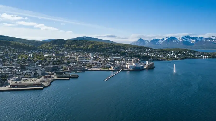
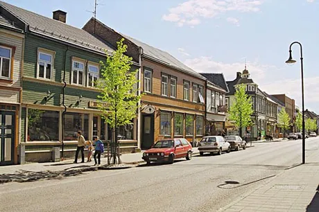
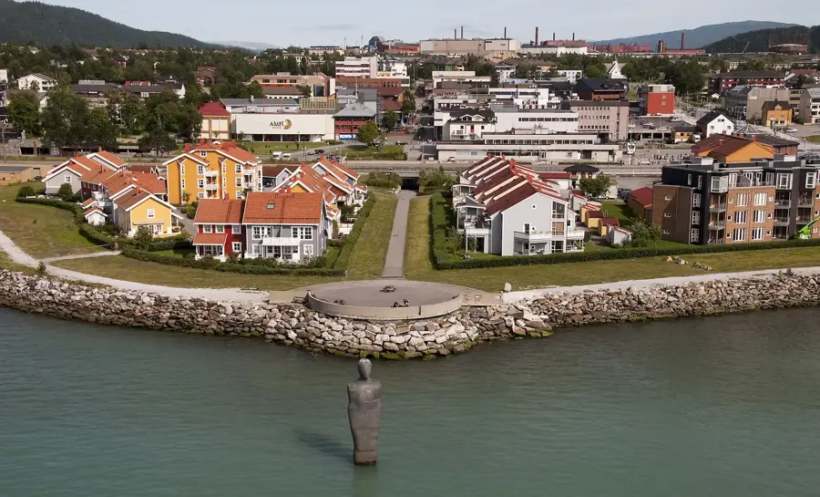
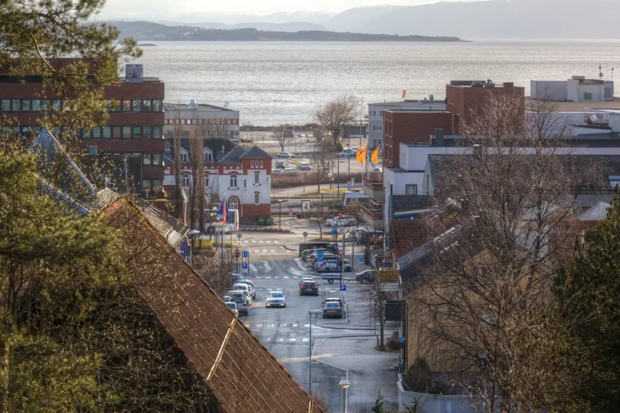
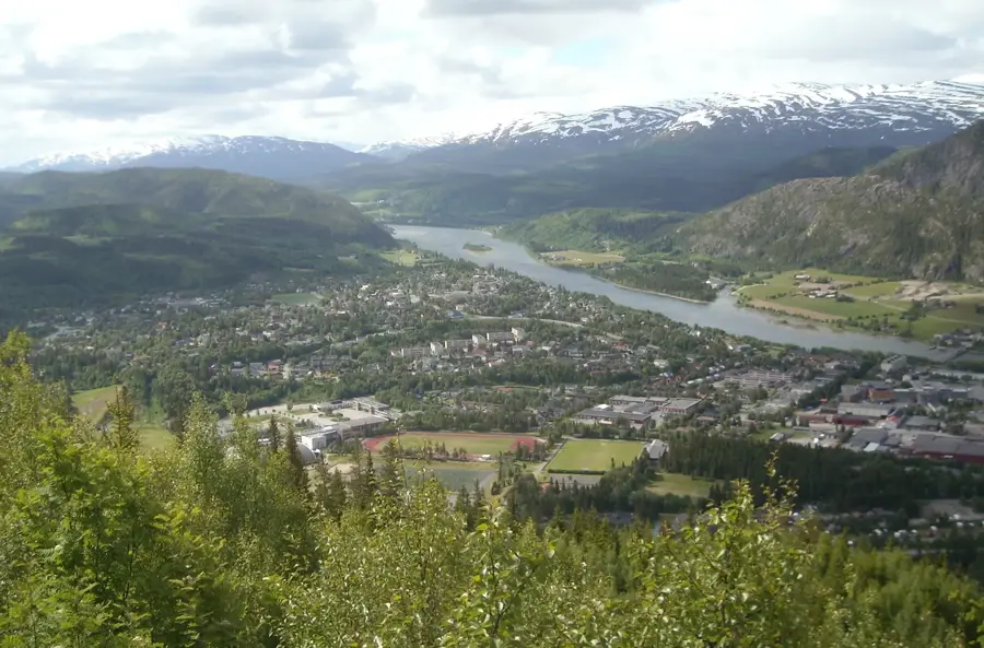
- Nearby: Lakselv (25 km)
Best time to visit & climate
The most pleasant time to visit is Jun–Aug.
| Jan | Feb | Mar | Apr | May | Jun | Jul | Aug | Sep | Oct | Nov | Dec | |
|---|---|---|---|---|---|---|---|---|---|---|---|---|
| Avg °C | -11 | -10 | -7 | -3 | 2 | 7 | 11 | 10 | 5 | -1 | -6 | -8 |
| Rain mm | 52 | 49 | 58 | 53 | 79 | 107 | 115 | 101 | 75 | 72 | 58 | 62 |
📋 Practical info
Geography
Facts
- Established in 1970
- Total area: 747 km²
- World's northernmost pine forest
- Renowned Stabburselva salmon river
- Rávttosfossen waterfall within the park
- Key breeding site for lesser white-fronted goose
Explore nearby
Notable places around
Route planner — Car & Motorhome
Where do you start? We build the route here, with stops and country notes along the way.
© OpenStreetMap contributors · OpenRouteService
Sights nearby
Frequently asked questions
What is special about Stabbursdalen National Park?
Can you fish for salmon in the Stabburselva river?
Are there bears in the park?
Where do you start a hike in Stabbursdalen?
What is the climate like in the park?
Stabbursdalen National Park: where is it located?
Stabbursdalen National Park: when is the best time to visit?
Stabbursdalen National Park: why is it worth visiting?

Nearby cities