Plizio Visual Lab
Hammastunturi
Weather…
Water temperature…
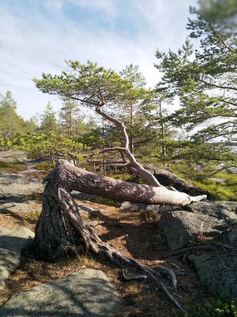
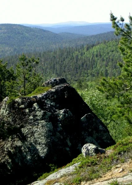
Hammastunturi is a prominent fell massif in the heart of Lapland, located between the municipalities of Inari and Ivalo. The area forms the center of the Hammastunturi Wilderness Area, established in 1991 to protect the unique nature and Sami cultural landscape. Geologically, the massif consists of granulite, a resistant rock type that has withstood erosion over the past millions of years. During the late 19th century, the region was the site of a significant gold rush along the Ivalojoki River, the historical sites of which can still be visited today. The landscape is characterized by vast fell heaths in the east and dense boreal forests in the west. The region is a vital corridor for reindeer herds and hosts a variety of Arctic bird species as well as larger predators such as wolverines.
- Location: Finland
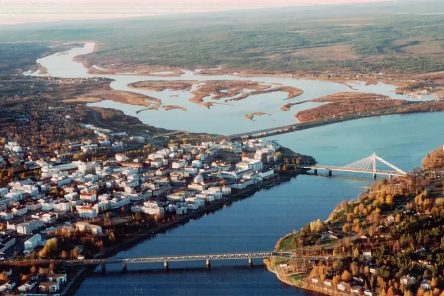
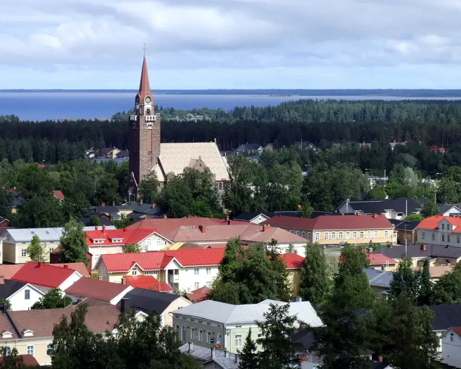
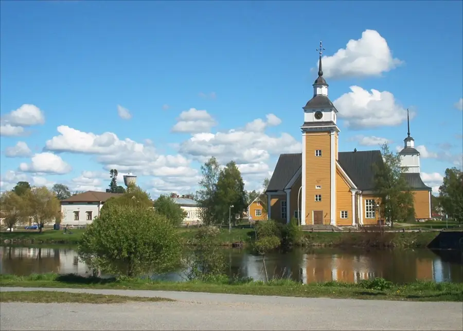
- Nearby: Saariselkä (38 km)
Best time to visit & climate
The most pleasant time to visit is Jun–Aug.
| Jan | Feb | Mar | Apr | May | Jun | Jul | Aug | Sep | Oct | Nov | Dec | |
|---|---|---|---|---|---|---|---|---|---|---|---|---|
| Avg °C | -13 | -13 | -9 | -3 | 4 | 10 | 14 | 11 | 6 | -1 | -8 | -11 |
| Rain mm | 39 | 33 | 33 | 44 | 76 | 97 | 117 | 102 | 78 | 60 | 47 | 45 |
📋 Practical info
Geography
Facts
- The highest peak of Hammastunturi reaches an elevation of 531 meters.
- The wilderness area covers a total surface of 1,825 square kilometers.
- The gold rush on the Ivalojoki River began in 1868 and lasted for several decades.
- Hammastunturi is located precisely between Urho Kekkonen and Lemmenjoki National Parks.
- The region is renowned for its significant populations of golden eagles.
- The name Hammastunturi translates to 'Tooth Fell' in English.
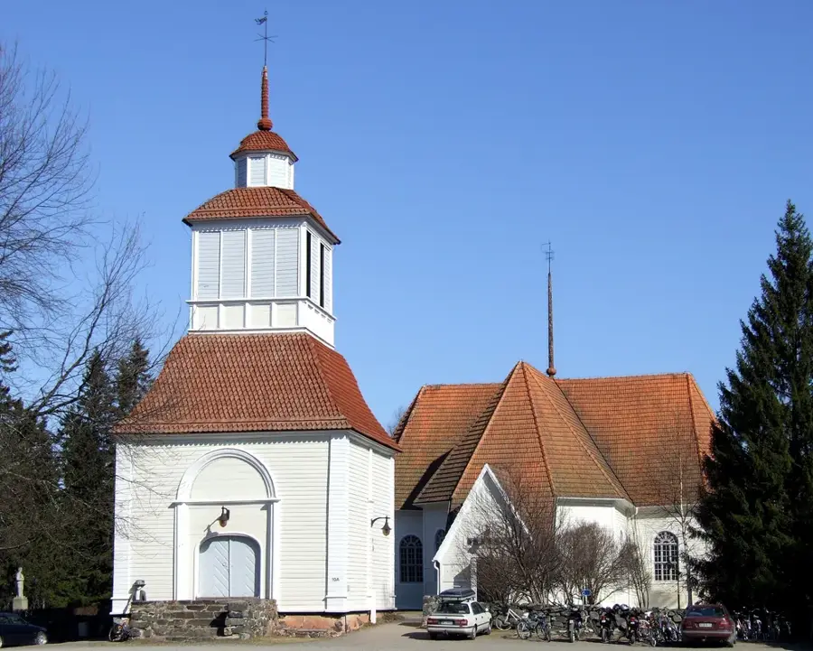
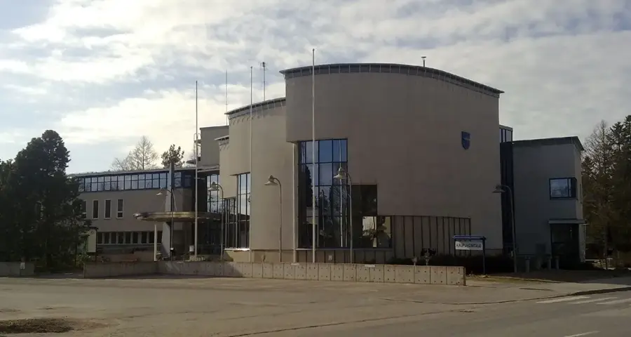
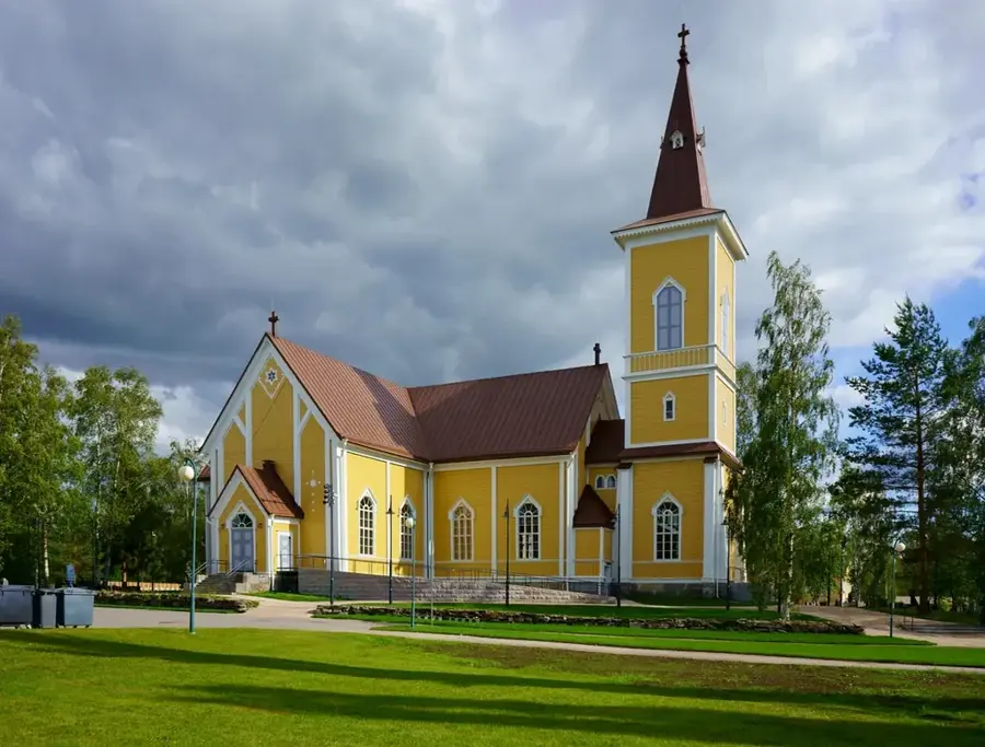
Explore nearby
Notable places around
Route planner — Car & Motorhome
Where do you start? We build the route here, with stops and country notes along the way.
© OpenStreetMap contributors · OpenRouteService
Sights nearby
Frequently asked questions
Where is the Hammastunturi area located?
Is there gold there?
Are the trails marked?
Are there huts there?
How do you access the area?
Hammastunturi: where is it located?
Hammastunturi: when is the best time to visit?
Hammastunturi: why is it worth visiting?

Nearby cities