Plizio Visual Lab
Cap Bon

Weather…
Water temperature…
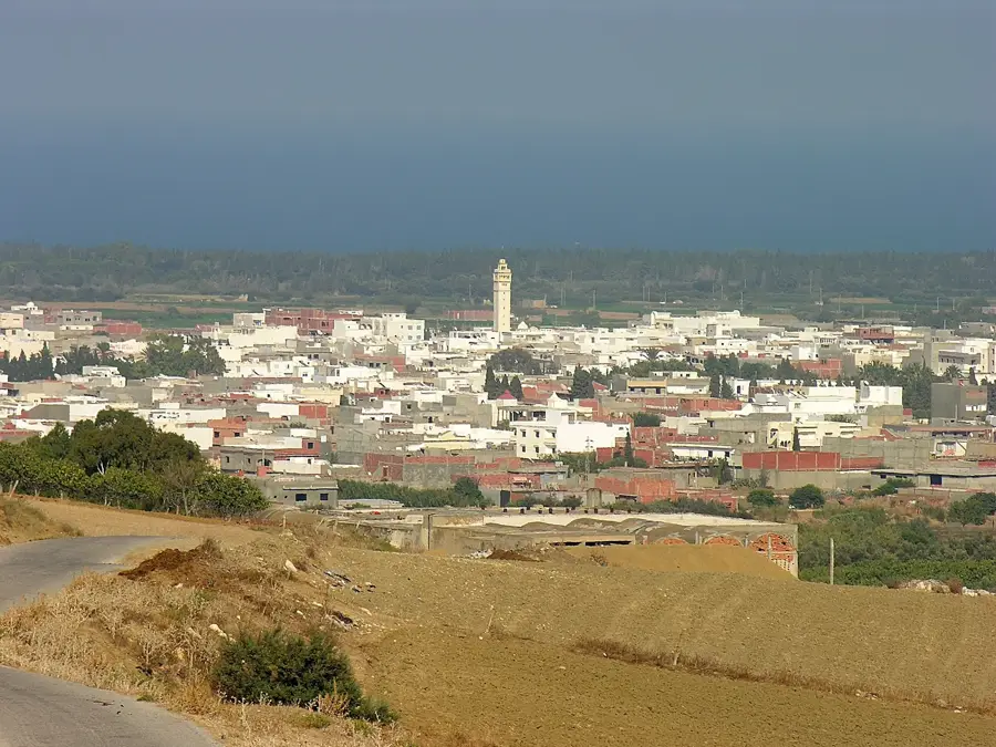
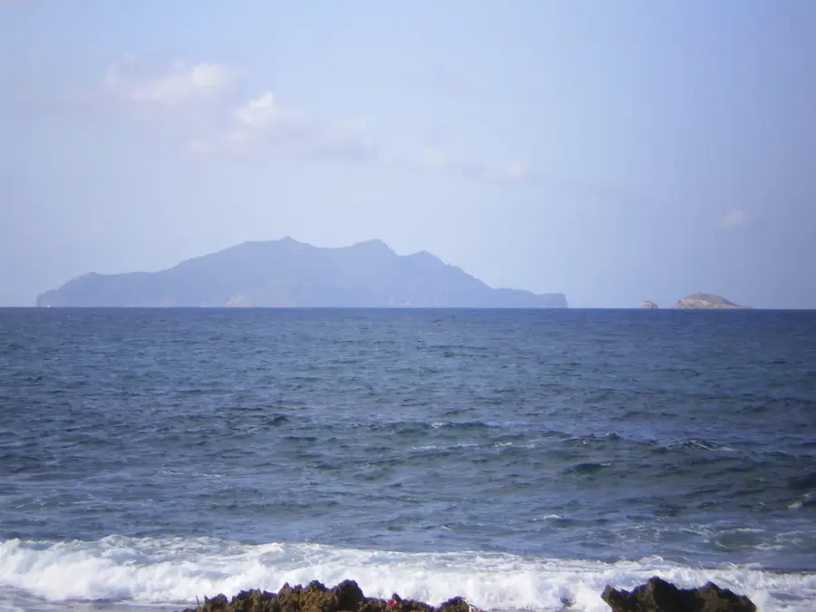
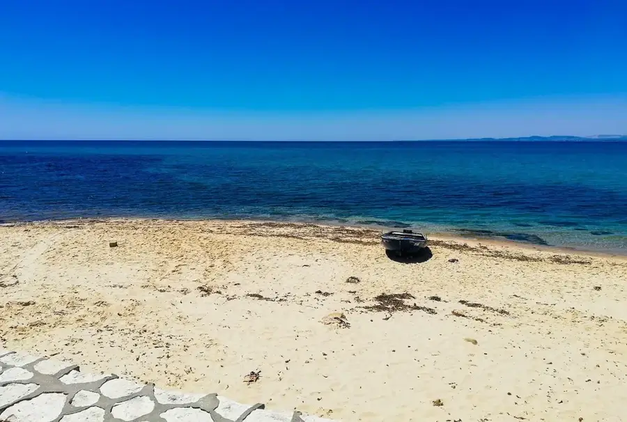
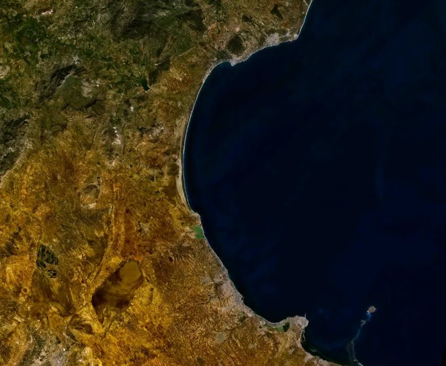
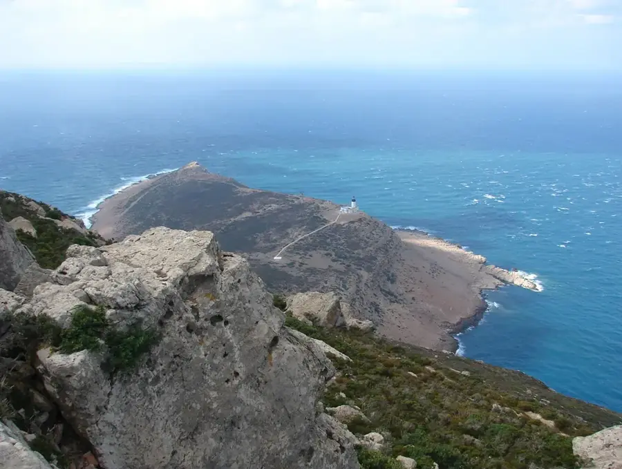
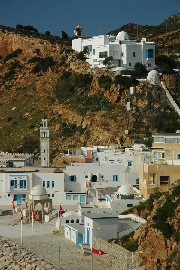
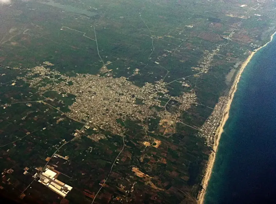
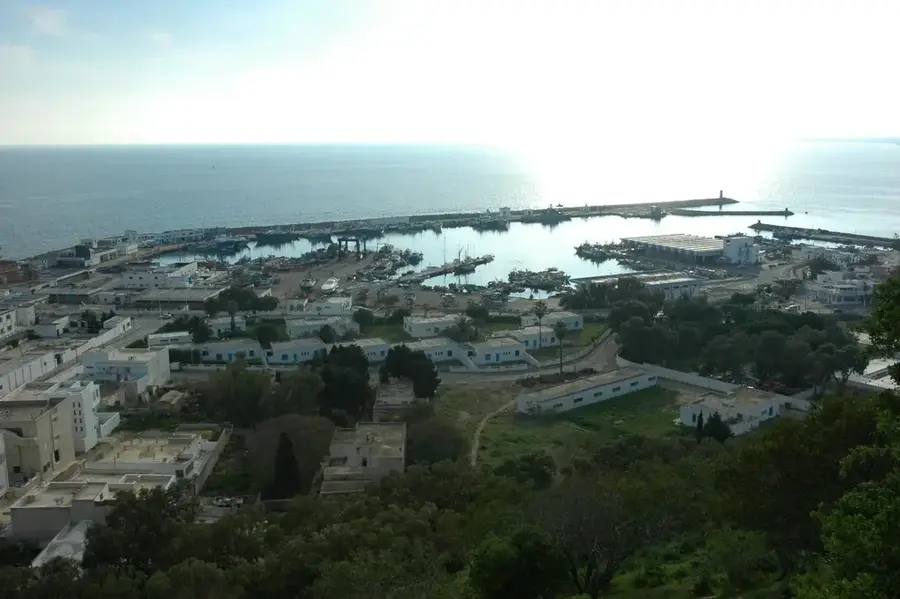
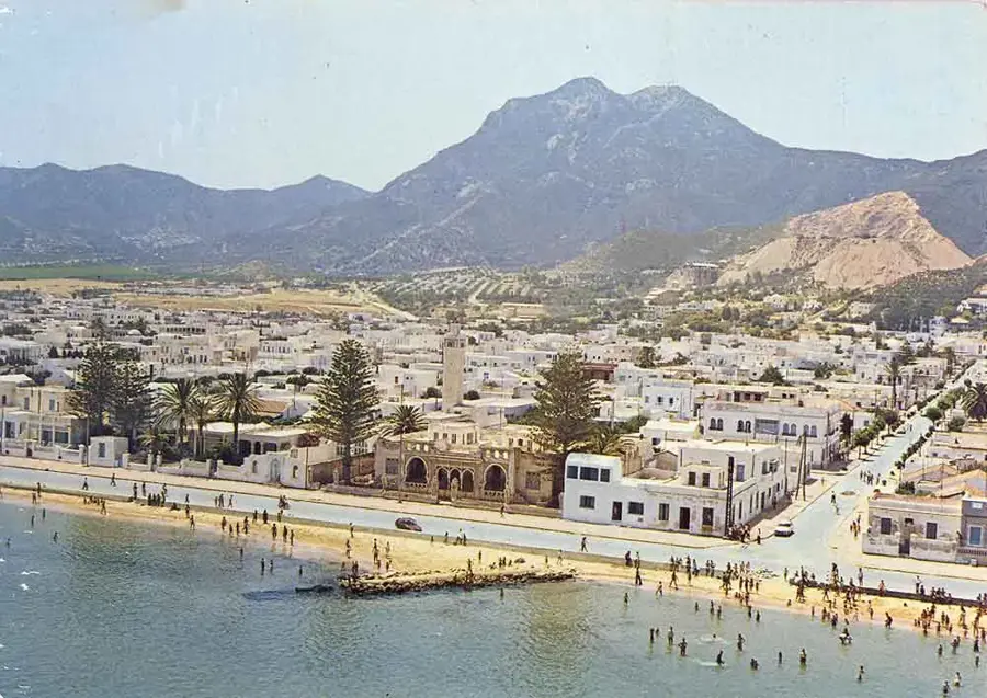
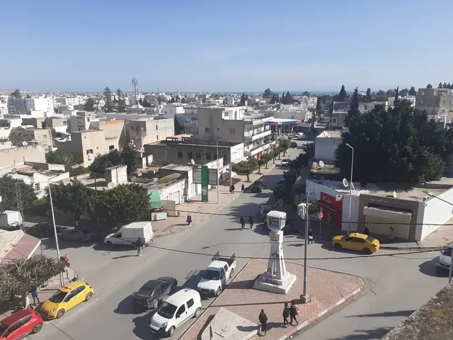
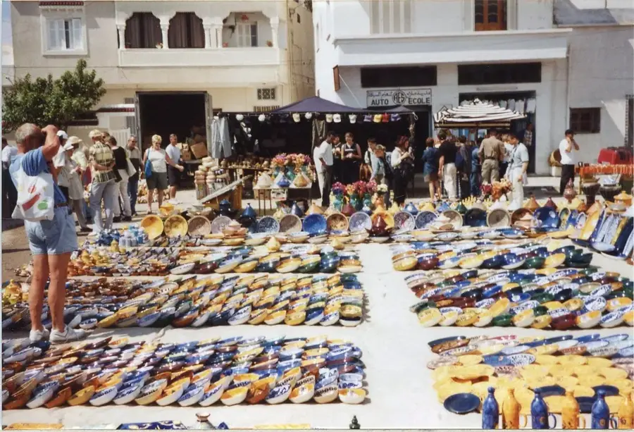
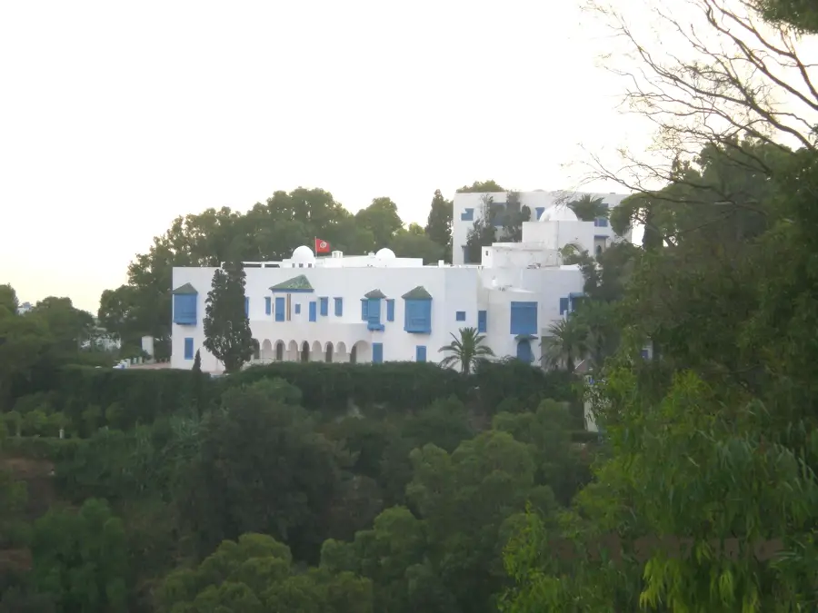
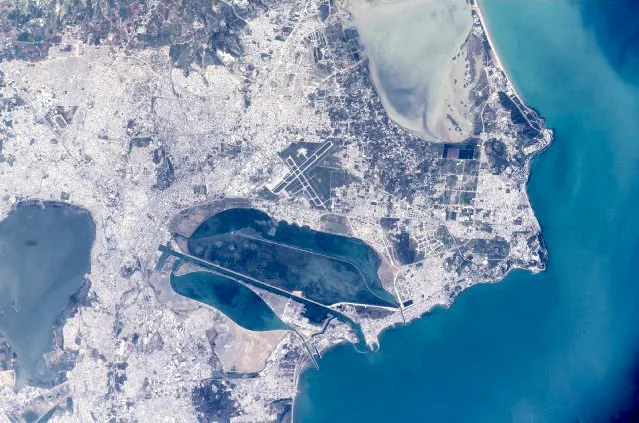
Cap Bon is a prominent peninsula in northeastern Tunisia that stretches into the Mediterranean Sea, defining the eastern edge of the Gulf of Tunis. The region is widely celebrated for its fertile plains, which serve as the nation's primary hub for the cultivation of citrus fruits, vineyards, and olive groves. Geographically, it sits just 140 kilometers from the Italian island of Sicily, a strategic proximity that has shaped its historical and maritime significance for centuries. The peninsula is home to the ancient Punic city of Kerkuane, a UNESCO World Heritage site and one of the best-preserved Phoenician settlements in existence. Its coastline features a mix of sandy beaches and rugged cliffs, providing critical habitats for migratory birds traveling between Europe and Africa. Major urban centers such as Nabeul and Hammamet drive the local economy through a combination of international tourism, traditional handicrafts, and commercial fishing. The landscape is dominated by the Jebel Abderrahmane mountain range, which forms the peninsula's central ridge.
- Location: Tunisia
- Nearby: Korbous (29 km)
Best time to visit & climate
The most pleasant time to visit is May–Jul.
| Jan | Feb | Mar | Apr | May | Jun | Jul | Aug | Sep | Oct | Nov | Dec | |
|---|---|---|---|---|---|---|---|---|---|---|---|---|
| Avg °C | 14 | 13 | 14 | 16 | 18 | 22 | 25 | 26 | 24 | 22 | 19 | 15 |
| Rain mm | 54 | 46 | 52 | 38 | 22 | 12 | 5 | 19 | 74 | 71 | 56 | 67 |
📋 Practical info
Geography
Facts
- The peninsula is situated only 140 kilometers away from the coast of Sicily.
- It accounts for more than 80% of Tunisia's total citrus fruit production.
- The Punic city of Kerkuane was designated a UNESCO World Heritage site in 1985.
- Jebel Abderrahmane is the highest elevation on the peninsula at 637 meters.
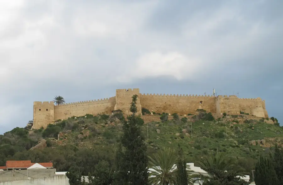
- Kelibia features a massive 16th-century fortress of Byzantine origin.
- Millions of migratory birds use the peninsula as a bridge between continents.
Explore nearby
Notable places around
Route planner — Car & Motorhome
Where do you start? We build the route here, with stops and country notes along the way.
© OpenStreetMap contributors · OpenRouteService
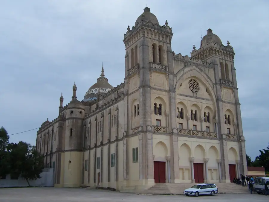
Sights nearby
Frequently asked questions
What is the highlight at Cap Bon?
When should one best visit?
Are the paths well-developed?
Are there dining options there?
Is it safe for children?
Cap Bon: where is it located?
Cap Bon: when is the best time to visit?
Cap Bon: why is it worth visiting?

Nearby cities

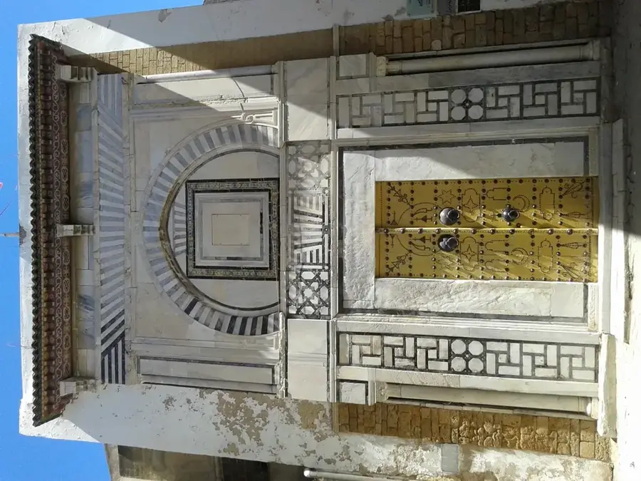
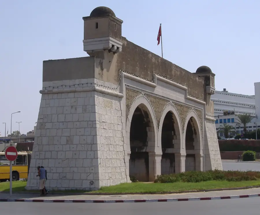
History & landmarks
Nature
More places