Plizio Visual Lab
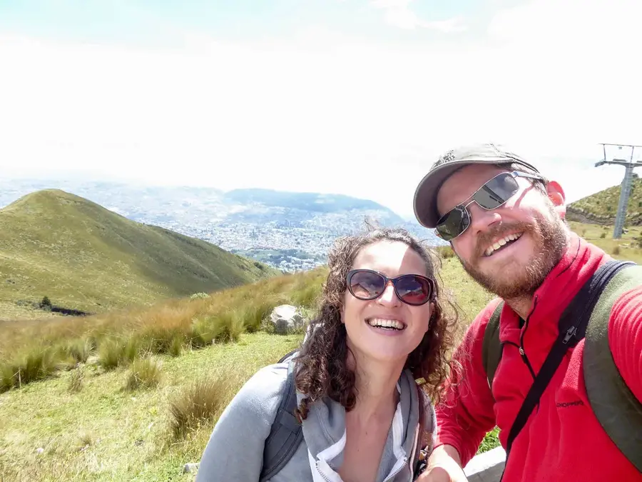
Pululahua Crater
Weather…
Water temperature…
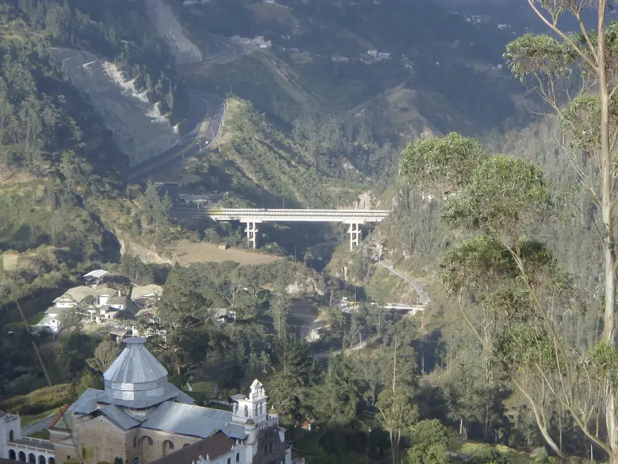
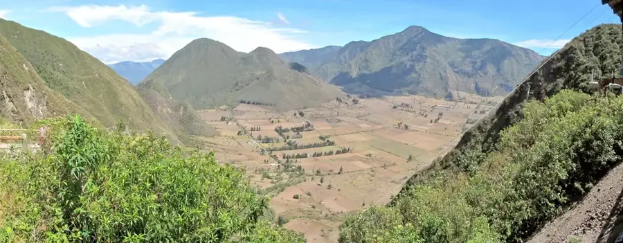
Pululahua Crater is a massive caldera near Quito and one of the few inhabited volcanic craters in the world. The area was declared Ecuador's first geobotanical reserve in 1966, covering an area of over 3,300 hectares. The caldera was formed about 2,500 years ago by the collapse of the volcanic summit following a massive eruption. The floor of the crater is used for agriculture, while the steep walls are covered by dense cloud forest that hosts enormous biodiversity. The name "Pululahua" comes from Kichwa and means "cloud of mist," referring to the frequent cloud formations that drift into the crater. Geologically, the site is fascinating due to its lava domes, such as Pondoña and El Chivo, which formed within the caldera.
- Location: Ecuador
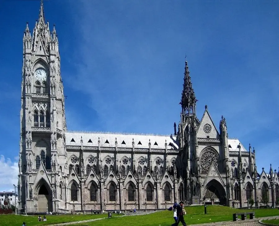
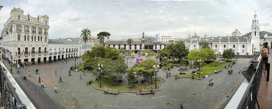
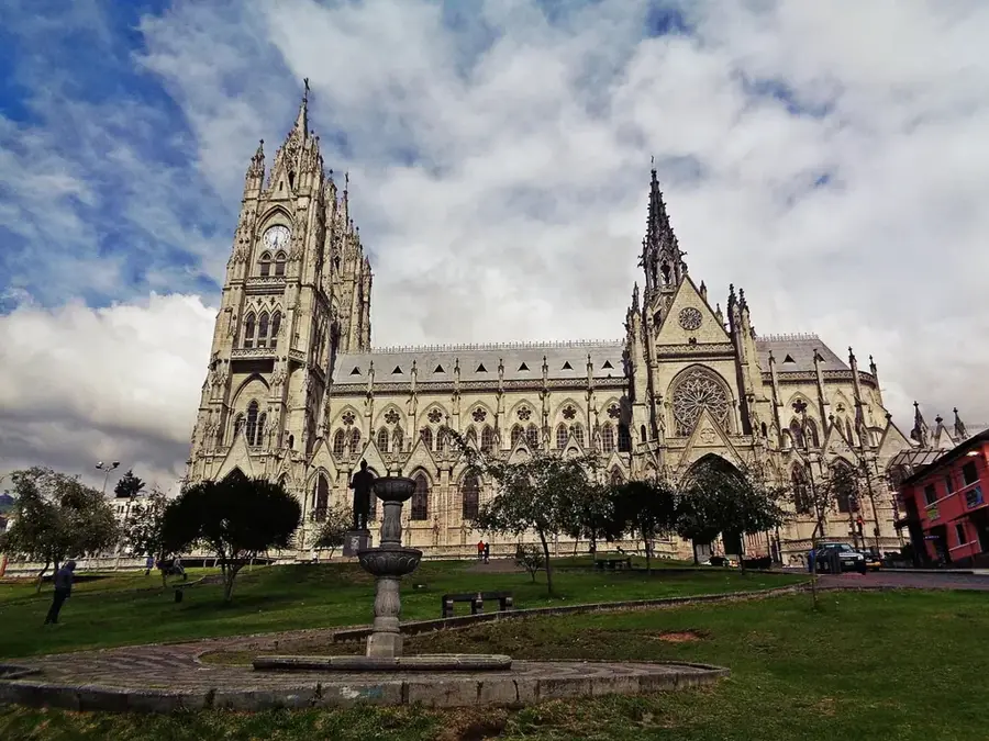
- Top sights: The Fungus Garden · Monumento Mitad del Mundo Calacalí · RESERVA GEOBOTÁNICA PULULAHUA
- Nearby: Sangolquí (10 km)
Best time to visit & climate
The most pleasant time to visit is Jul–Sep.
| Jan | Feb | Mar | Apr | May | Jun | Jul | Aug | Sep | Oct | Nov | Dec | |
|---|---|---|---|---|---|---|---|---|---|---|---|---|
| Avg °C | 17 | 17 | 18 | 18 | 18 | 18 | 17 | 18 | 18 | 17 | 17 | 17 |
| Rain mm | 139 | 143 | 176 | 177 | 123 | 58 | 34 | 25 | 38 | 76 | 90 | 100 |
📋 Practical info
Geography
Facts
- One of the few inhabited craters worldwide
- Geobotanical Reserve since 1966
- Formed approximately 2,500 years ago
- Area of over 3,300 hectares
- Name means "cloud of mist" in Kichwa
- Contains lava domes like Pondoña
Explore nearby
Notable places around
Route planner — Car & Motorhome
Where do you start? We build the route here, with stops and country notes along the way.
© OpenStreetMap contributors · OpenRouteService
Sights in the town Pululahua Crater (10)
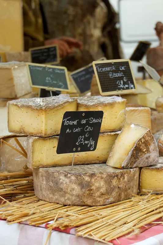
ECUSTARS🎭 culture
A local marketplace near Pululahua where regional vendors offer various goods, foods, and traditional crafts.
Sights nearby
Frequently asked questions
What is special about the Pululahua crater?
How far is it from Quito?
Can you hike down into the crater?
Are there accommodations there?
Why is it often foggy there?
Pululahua Crater: where is it located?
Pululahua Crater: what is there to see?
Pululahua Crater: when is the best time to visit?
Pululahua Crater: why is it worth visiting?

Nearby cities


History & landmarks


More places