Plizio Visual Lab
Macará
ℹ️Practical info — Macará
▾
🌤 Weather — 5 days
📍 Nearby
Sights nearby
💡 Tips
- Cross the Peru border early in the morning to avoid long queues and the intense midday heat.
- Always carry small US dollar bills, as large denominations are hard to break.
- The climate is very hot and dry; hydrate well and seek shade in the afternoon.
- Taxis or mototaxis are the easiest way to navigate the slightly spread-out border town.
🍽 Food
A traditional goat stew popular in the local eateries around the market.
Fresh seafood served in restaurants featuring Ecuadorian cuisine.
Steamed corn cakes, best grabbed in the morning from street vendors.
🛍 Shopping · 🧘 Quiet spots
The main market for fresh local produce and snacks.
Small stores near the bridge selling a mix of Peruvian and Ecuadorian goods.
The central park where you can relax in the shade of the trees.
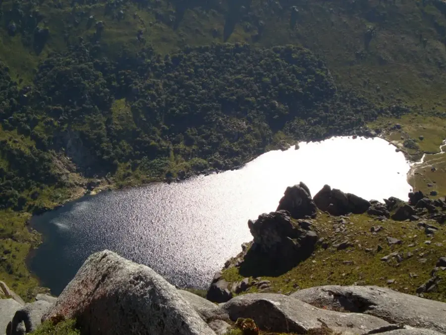
A calm spot for a walk near the natural border.
Water temperature…
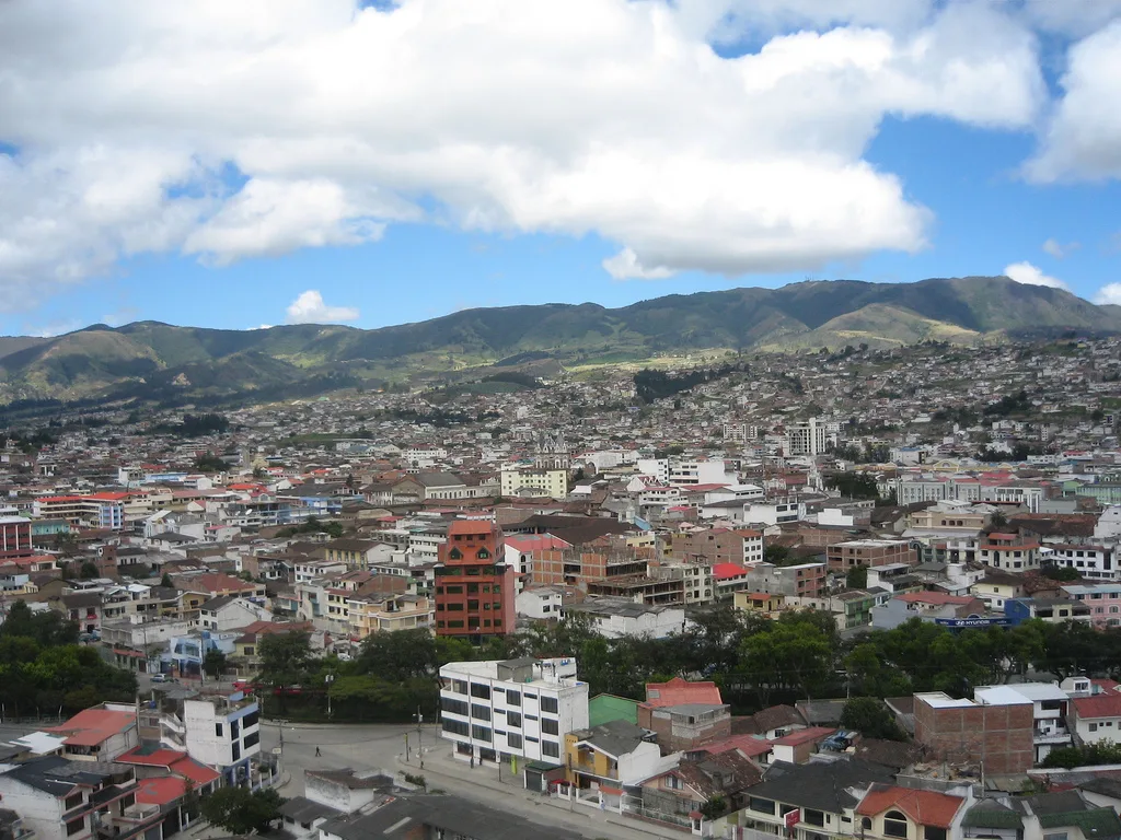
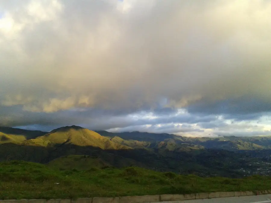
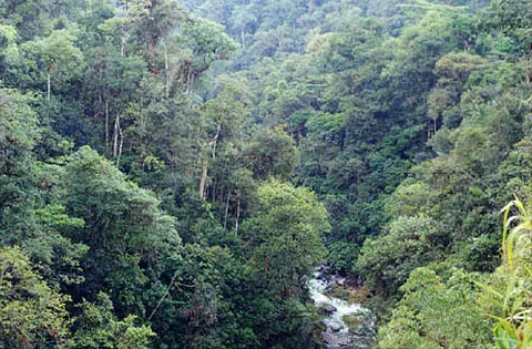
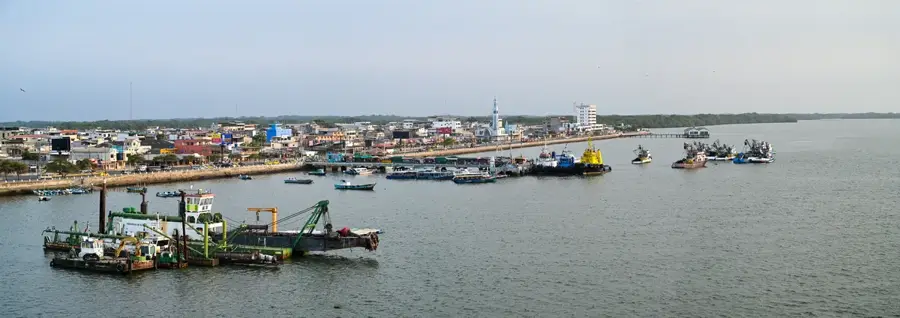
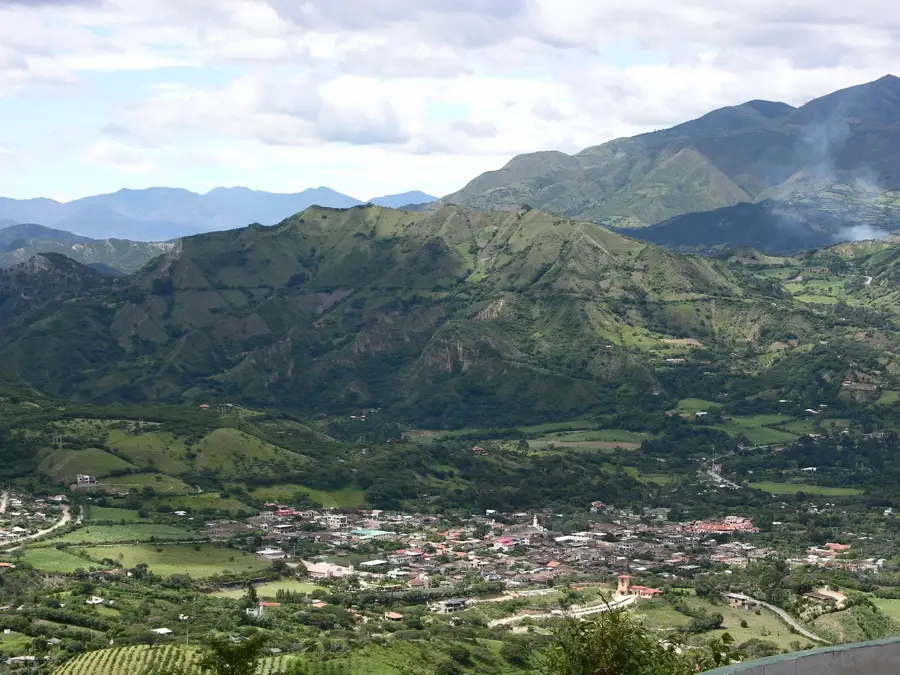
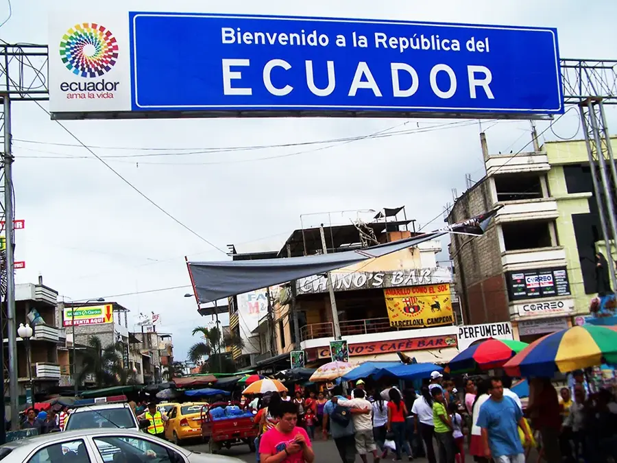
Macará, located in the southernmost reaches of Ecuador in the Loja Province, is a border city of immense geopolitical and economic significance situated on the banks of the Macará River. The town lies in a valley at an elevation of approximately 430 meters above sea level, resulting in a warm tropical climate that contrasts with the cooler Andean highlands of the province. Macará functions as one of the primary gateways between Ecuador and Peru, especially via the international bridge inaugurated in 1964, which facilitates the steady movement of goods and travelers. The canton's history traces back to 1902 when it was officially recognized as an independent administrative entity. The surrounding landscape is characterized by rare tropical dry forests, which are home to a unique variety of endemic flora and fauna. In agriculture, Macará is often hailed as the 'Rice Capital of Loja Province' due to its fertile soils and efficient irrigation systems drawn from the river, allowing for extensive rice cultivation. In addition to rice, the area is a major producer of maize and various fruits. The city is well-known for its welcoming atmosphere and bustling markets, which serve as the hub for daily cross-border commerce.
- Location: Ecuador
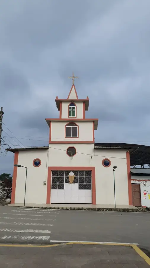
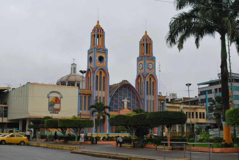
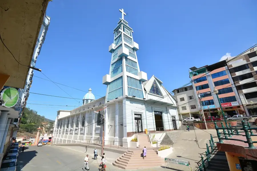
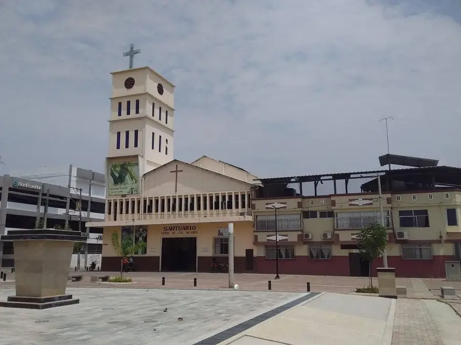
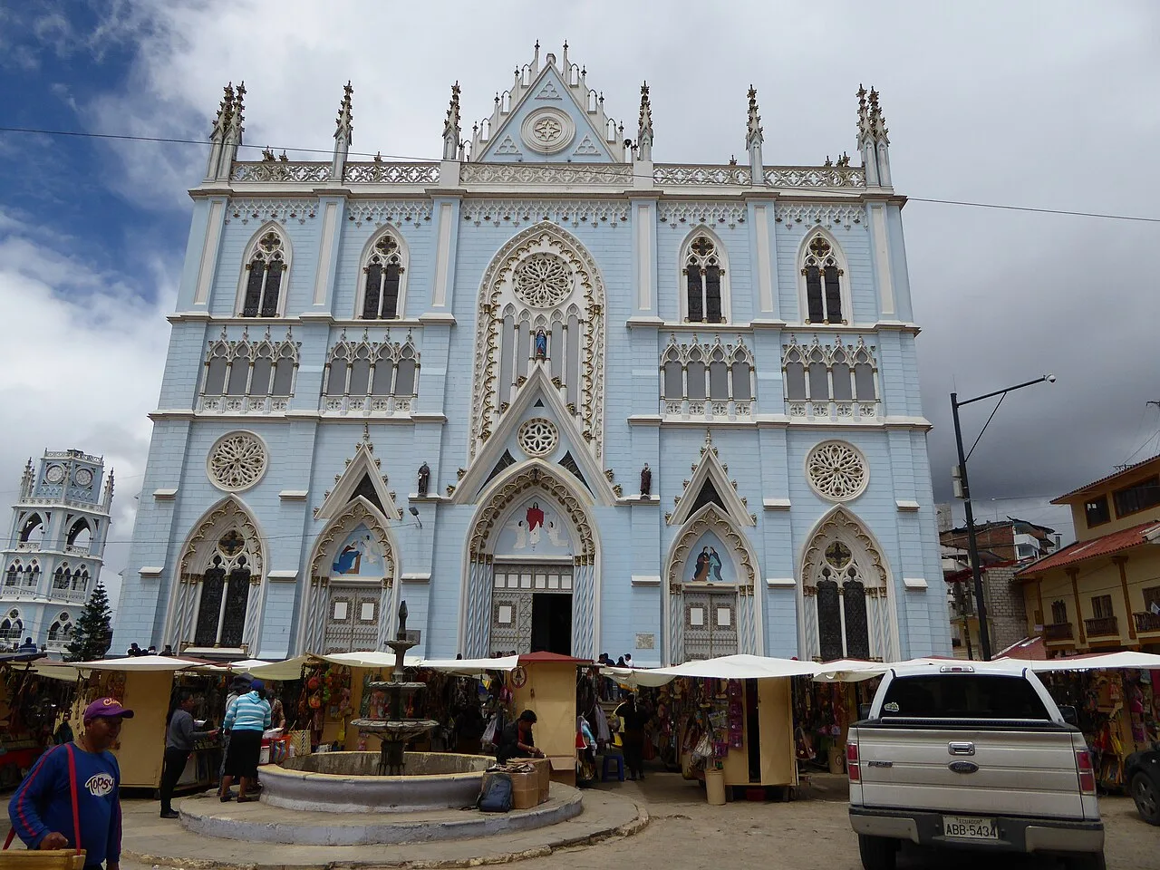
- Top sights: Altar Patrio · Iglesia Católica Reina de El Cisne · Capilla Católica Divino Niño | Macará
- Nearby: Santa Rosa (18 km)
- Population: ~13.035 (2025)
Best time to visit & climate
The most pleasant time to visit is Jul, Oct, Nov.
| Jan | Feb | Mar | Apr | May | Jun | Jul | Aug | Sep | Oct | Nov | Dec | |
|---|---|---|---|---|---|---|---|---|---|---|---|---|
| Avg °C | 24 | 24 | 24 | 24 | 24 | 24 | 24 | 25 | 25 | 24 | 24 | 24 |
| Rain mm | 41 | 77 | 83 | 43 | 19 | 14 | 12 | 9 | 9 | 19 | 23 | 31 |
Geography
Facts
- Macará was officially established as a canton on September 22, 1902.
- The city sits at an elevation of 430 meters in a tropical valley.
- The international bridge to Peru was inaugurated in 1964.
- It is famously known as the 'Rice Capital' of Loja Province.
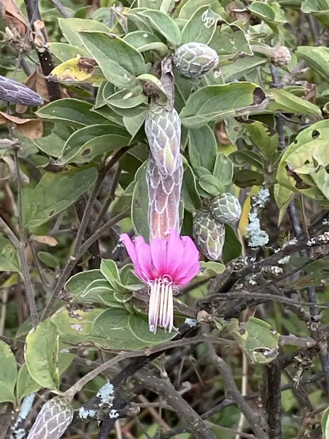
- The region is home to internationally significant tropical dry forests.
- The Macará River defines the national border between Ecuador and Peru.
Explore nearby
Notable places around
Route planner — Car & Motorhome
Where do you start? We build the route here, with stops and country notes along the way.
© OpenStreetMap contributors · OpenRouteService
Sights in the town Macará (5)
Frequently asked questions
Why is Macará an important border town?
How is the climate in Macará?
What is the 'Rice Festival' in Macará?
What should be visited in Macará?
Are there natural areas nearby?
Macará: where is it located?
Macará: what is there to see?
Macará: when is the best time to visit?
Macará: why is it worth visiting?

Nearby cities

History & landmarks
More places