Plizio Visual Lab
Arenillas

ℹ️Practical info — Arenillas
▾
🌤 Weather — 5 days
📍 Nearby
Sights nearby
💡 Tips
- The climate is hot and dry, so be sure to pack adequate sun protection.
- Since it is near the Peruvian border, keep your passport handy as military checkpoints are common.
- Try to visit the nearby ecological reserve to spot local wildlife.
- Public transport is basic; consider hiring a taxi for trips outside the town center.
🍽 Food
A traditional goat stew often served with rice; try it at small local eateries around the main square.
Thanks to El Oro's proximity to the coast, seafood here is fresh. Look for small seafood spots known as cevicherías.
Fried green plantain slices, the excellent side dish for almost any local meal.
🛍 Shopping · 🧘 Quiet spots
Great for finding fresh tropical fruits and discovering local agricultural products.
Look for woven goods or small souvenirs made by local residents in the town center.
A short drive from town, this dry forest reserve is well-suited for birdwatching and peaceful nature walks.
A typical South American town square; grab a bench in the late afternoon to escape the heat.
Water temperature…
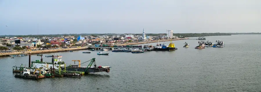
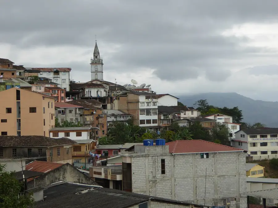
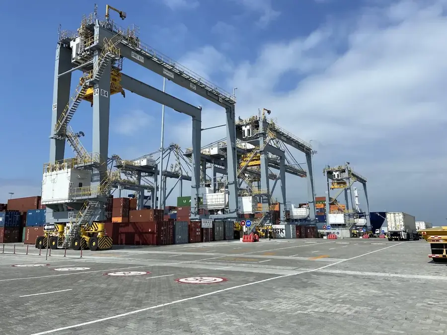
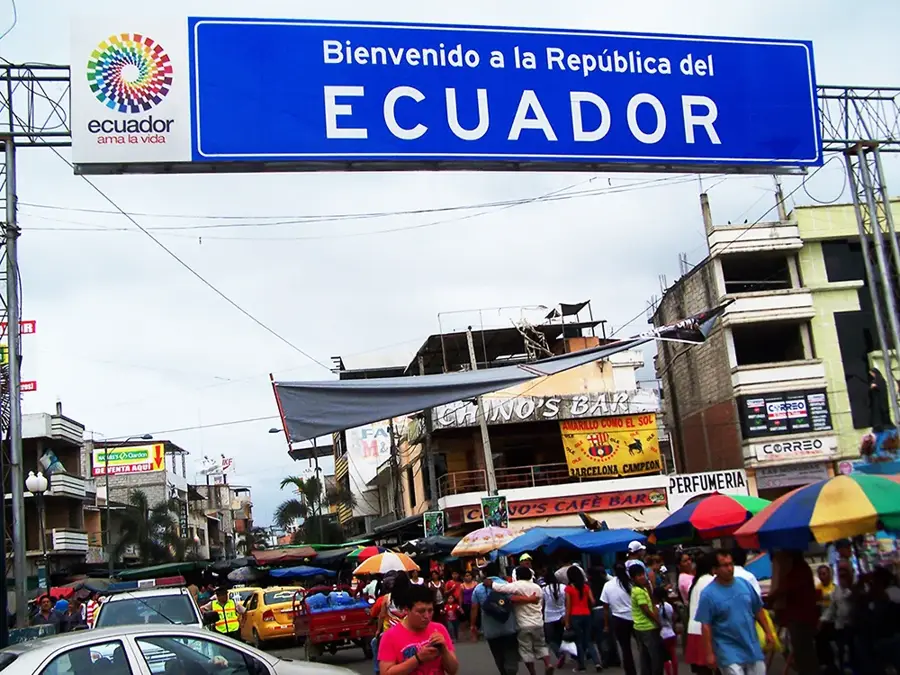
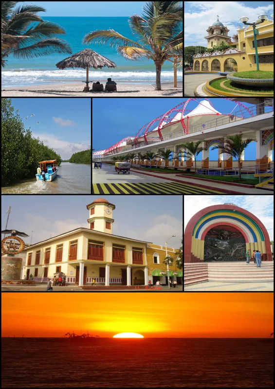
Arenillas, situated in the southwestern corner of Ecuador within the El Oro Province, is a city of significant strategic and ecological importance due to its proximity to the Peruvian border. Located on an arid coastal plain at an elevation of only 15 meters above sea level, the town serves as a key link for cross-border trade and logistics. Historically, the region gained prominence during the 1941 Peruvian-Ecuadorian War, as it was a site of major military engagements. Arenillas was formally established as a canton on November 11, 1955. One of the area's most notable features is the Arenillas Ecological Reserve, which covers over 13,000 hectares and protects one of the last remaining stands of tropical dry forest on the coast. The city is also home to the Tahuín Dam, a critical infrastructure project that provides water for the irrigation of extensive banana and cacao plantations while serving as a popular recreational spot. The climate is characterized by high temperatures and low rainfall, shaping the local biodiversity. Today, the economy relies on international trade with Peru, agriculture (particularly citrus fruits and tobacco), and a thriving shrimp farming industry in the coastal sectors of the canton.
- Location: Ecuador
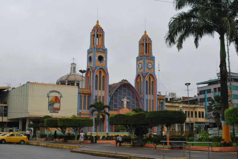
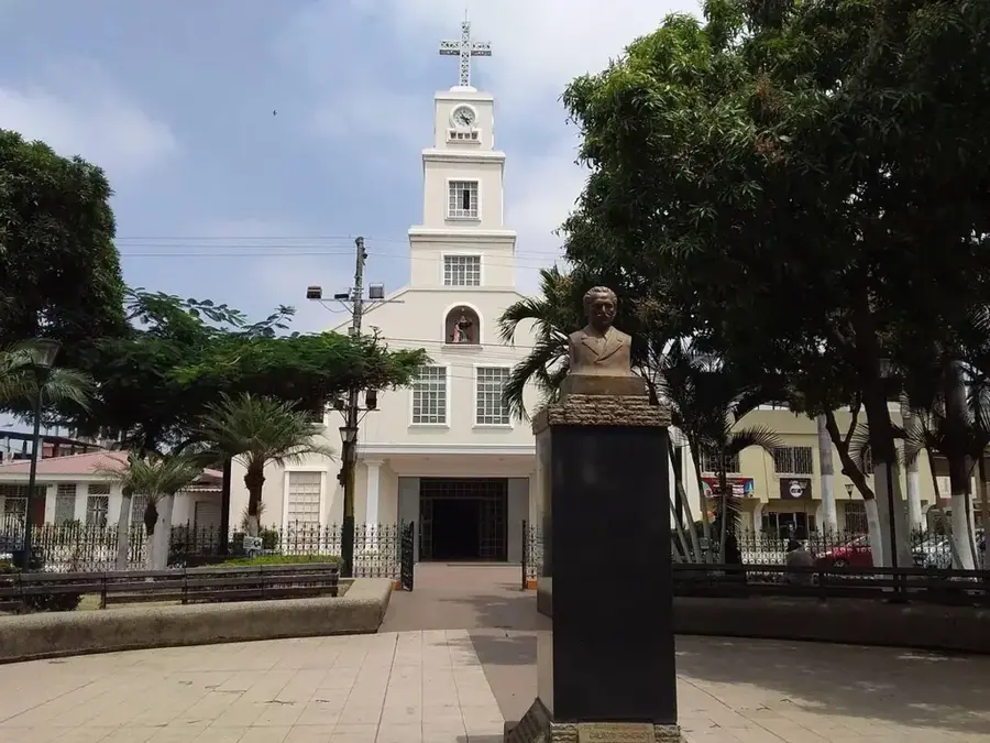
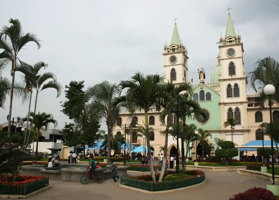
- Top sights: Arenillas City · LAS TRES CRUCES
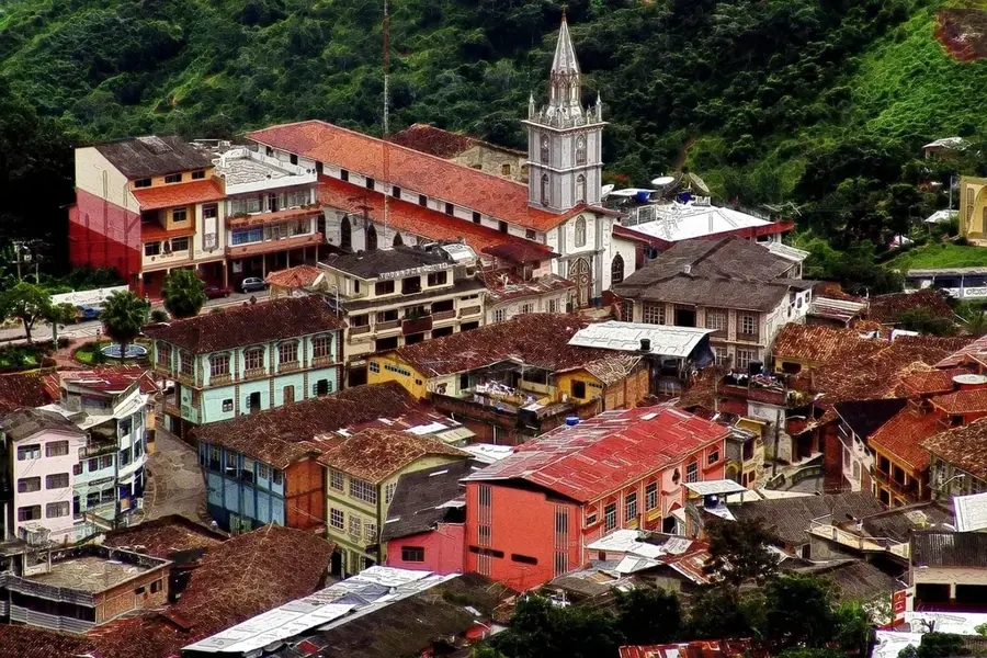
- Nearby: Santa Rosa (12 km)
- Population: ~26.000 (2025)
Best time to visit & climate
The most pleasant time to visit is Jul–Sep.
| Jan | Feb | Mar | Apr | May | Jun | Jul | Aug | Sep | Oct | Nov | Dec | |
|---|---|---|---|---|---|---|---|---|---|---|---|---|
| Avg °C | 24 | 24 | 24 | 24 | 24 | 24 | 24 | 24 | 24 | 24 | 24 | 24 |
| Rain mm | 64 | 110 | 130 | 61 | 28 | 15 | 12 | 8 | 8 | 17 | 20 | 29 |
Geography
Facts
- Arenillas was officially designated as a canton on November 11, 1955.
- The city sits at a low elevation of 15 meters above sea level.
- The Arenillas Ecological Reserve spans 13,170 hectares of dry forest.
- The area saw significant action during the border conflict of 1941.
- The Tahuín Dam is the primary irrigation source for local agriculture.
- Shrimp farming and cross-border trade are key economic drivers.
Explore nearby
Notable places around
Route planner — Car & Motorhome
Where do you start? We build the route here, with stops and country notes along the way.
© OpenStreetMap contributors · OpenRouteService
Sights in the town Arenillas (2)
Frequently asked questions
What is the Arenillas Ecological Reserve?
Is Arenillas close to the Peruvian border?
What is the Tahuín dam?
What are the region's main products?
Can you eat well in Arenillas?
Arenillas: where is it located?
Arenillas: what is there to see?
Arenillas: when is the best time to visit?
Arenillas: why is it worth visiting?

Nearby cities


History & landmarks


More places