Plizio Visual Lab
Chimborazo
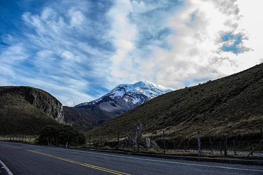
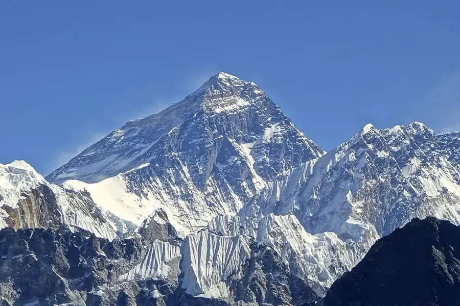
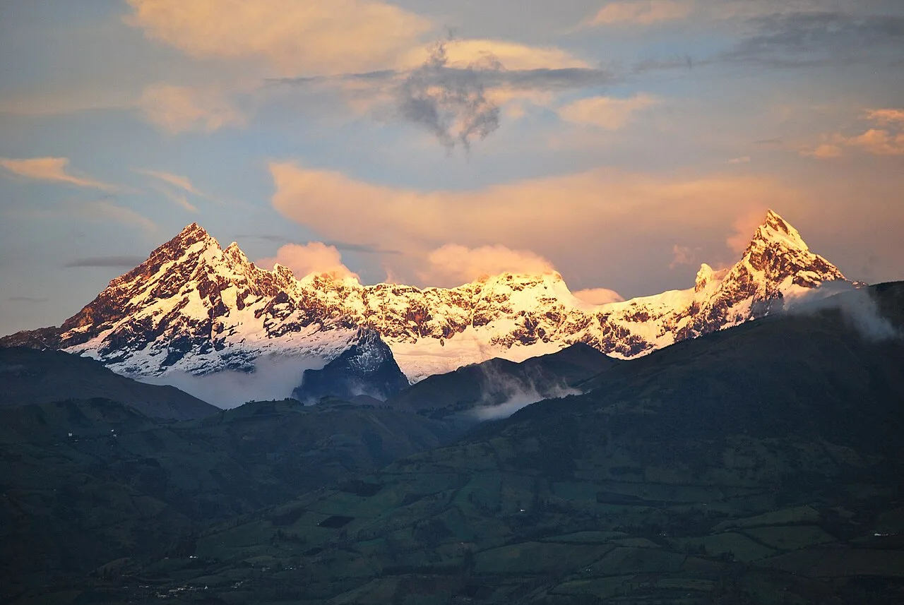
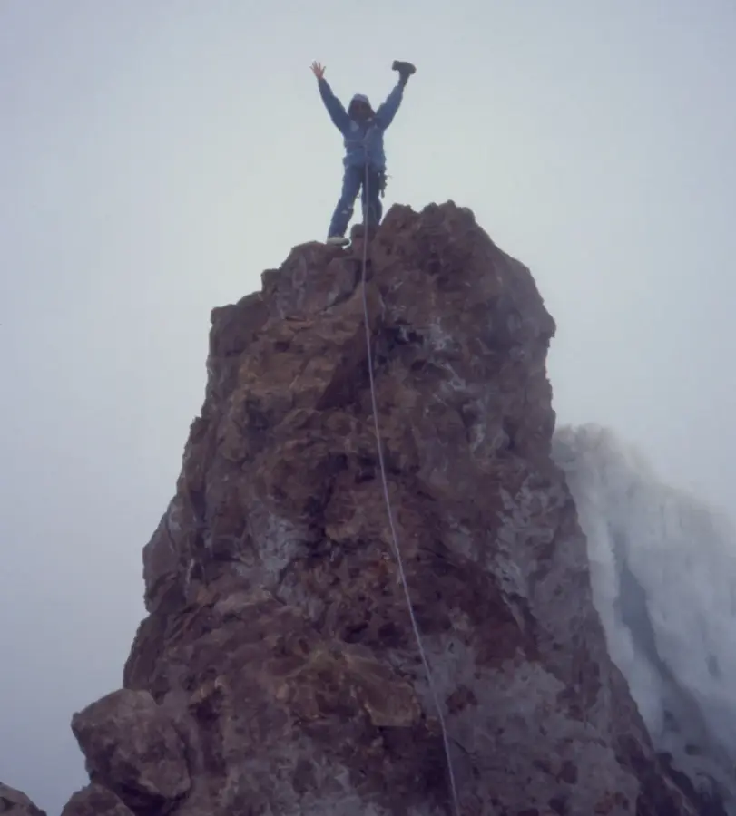
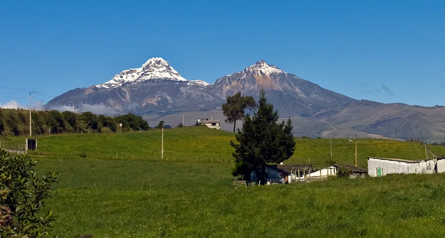
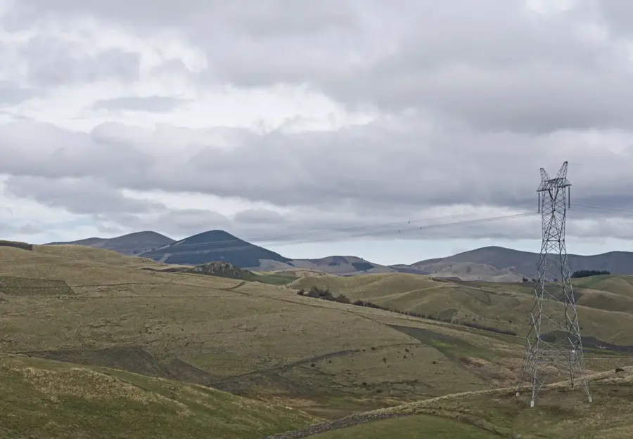
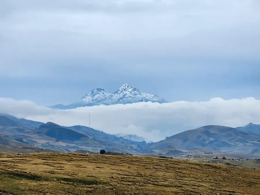
Chimborazo is an inactive stratovolcano in the Cordillera Occidental of the Andes and stands as Ecuador's highest peak at 6,263 meters (20,548 feet). Due to the Earth's equatorial bulge, its summit is the point on the planet's surface farthest from the Earth's center, making it closer to outer space than Mount Everest. The mountain is capped by massive glaciers that serve as a critical water source for the surrounding provinces, though they are currently receding due to global warming. Historically, Chimborazo gained worldwide fame through the scientific explorations of Alexander von Humboldt in 1802, although he did not reach the actual summit. The first documented successful ascent was achieved by Edward Whymper in 1880. Today, the volcano is the centerpiece of a fauna production reserve known for its protected vicuña population and remains a top challenge for high-altitude mountaineers. Geologically, it belongs to the Pacific Ring of Fire, with its last known eruption occurring around 550 AD.
- Location: Ecuador
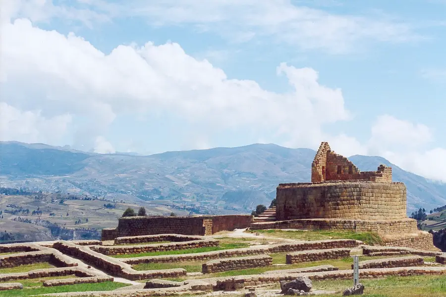
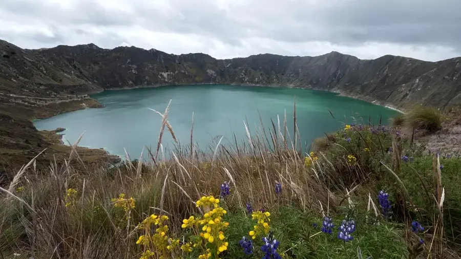
- Top sights: Whymper Needles · Reserva de Producción Faunística Chimborazo
- Nearby: Saquisilí (22 km)
Best time to visit & climate
The most pleasant time to visit is Aug–Oct.
| Jan | Feb | Mar | Apr | May | Jun | Jul | Aug | Sep | Oct | Nov | Dec | |
|---|---|---|---|---|---|---|---|---|---|---|---|---|
| Avg °C | 12 | 12 | 11 | 12 | 11 | 10 | 10 | 10 | 11 | 11 | 12 | 11 |
| Rain mm | 124 | 146 | 162 | 162 | 129 | 111 | 89 | 75 | 67 | 109 | 113 | 113 |
📋 Practical info
Geography
Facts
- The summit reaches an elevation of 6,263 meters above sea level.
- Its peak is 6,384 km away from the center of the Earth.
- The first successful ascent was made by Edward Whymper in 1880.
- The volcano's last eruption took place around 550 AD.
- It is surrounded by a reserve protecting over 7,000 vicuñas.
- The mountain was considered the highest in the world until 1852.
Explore nearby
Notable places around
Route planner — Car & Motorhome
Where do you start? We build the route here, with stops and country notes along the way.
© OpenStreetMap contributors · OpenRouteService
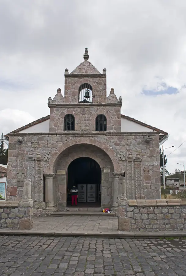
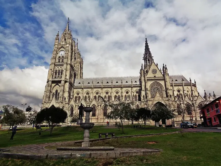
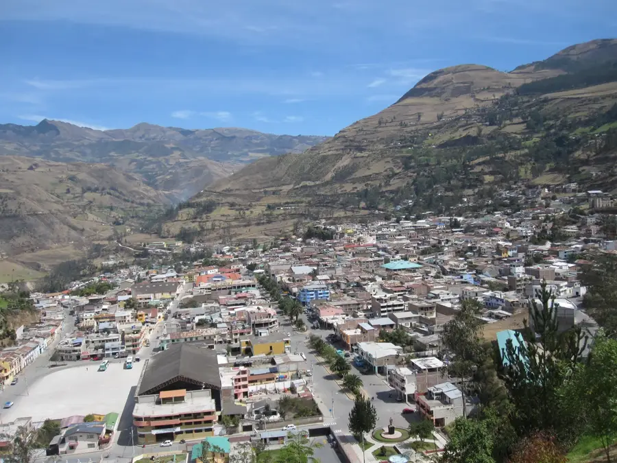
Sights in the town Chimborazo (2)
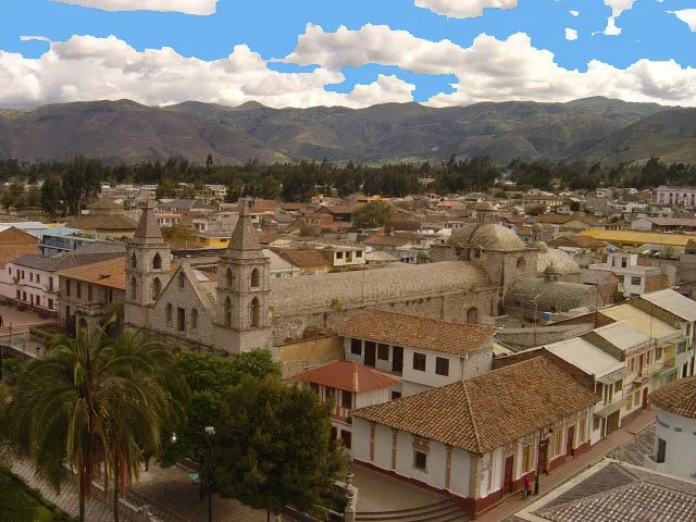
Sights nearby
Frequently asked questions
Is Chimborazo the highest mountain in the world?
Can you drive up?
Do you need a permit for climbing?
How cold does it get at the summit?
How long is the hike to the second refuge?
Chimborazo: where is it located?
Chimborazo: what is there to see?
Chimborazo: when is the best time to visit?
Chimborazo: why is it worth visiting?

Nearby cities
History & landmarks


Nature
More places