Plizio Visual Lab
Ingapirca
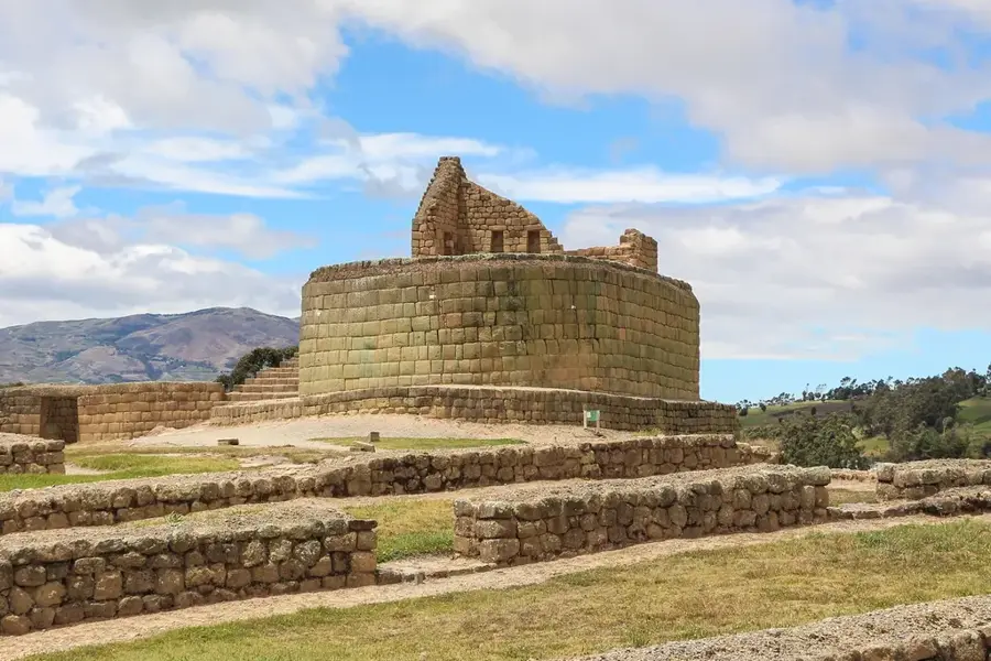
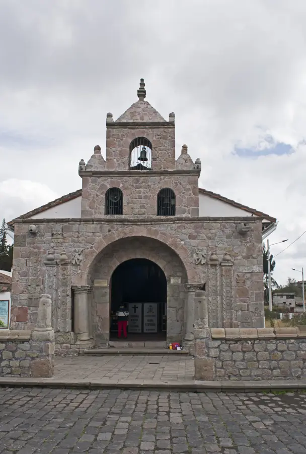
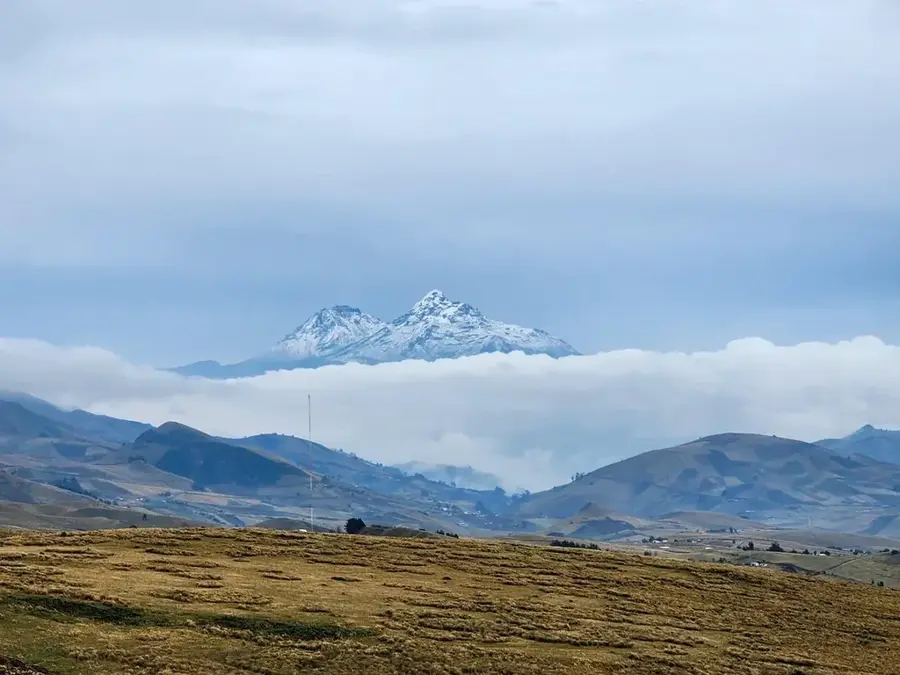
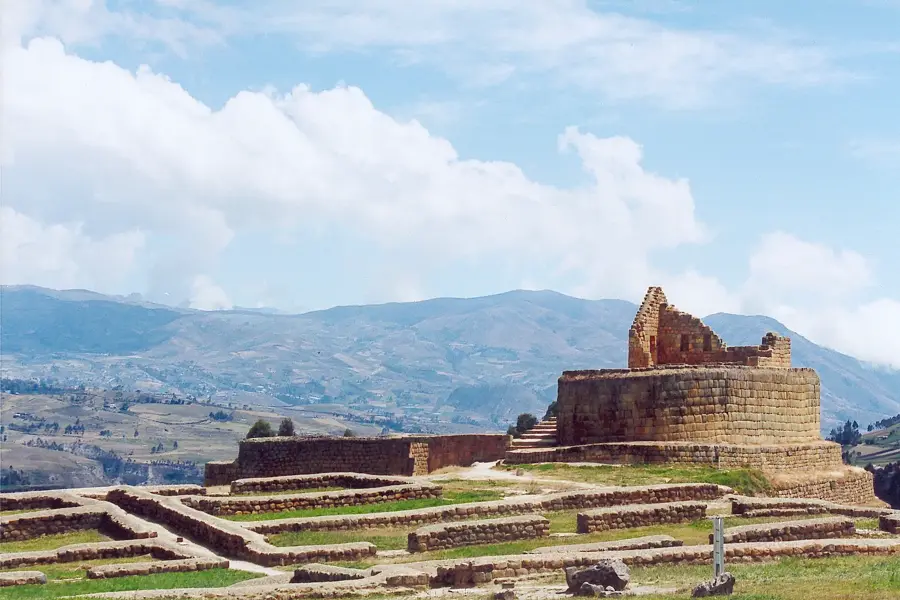
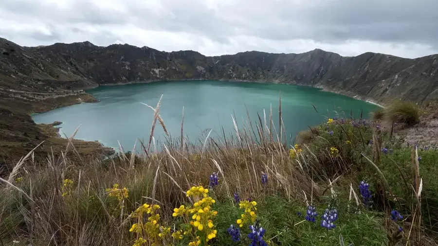
Ingapirca is the largest known Inca ruin site in Ecuador, located in Cañar province at an altitude of about 3,200 meters. Built by the Inca in the 15th century, it served as a ceremonial center and fortress. The most notable structure is the Temple of the Sun, an elliptical building made of precisely cut stones. The complex also includes residential areas, storehouses, and an observatory. Ingapirca was an important stop on the Inca road, the Qhapaq Ñan. After the Spanish conquest, the site fell into disrepair but was restored in the 20th century. Today, it is a significant archaeological monument and tourist attraction, offering insights into Inca culture and their interaction with the local Cañari people.
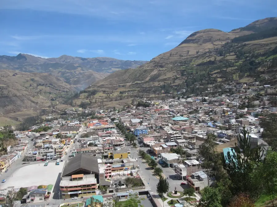
- Location: Ecuador
- Top sights: Escalera inca · Cerro Molobog Grande · Ingapirca
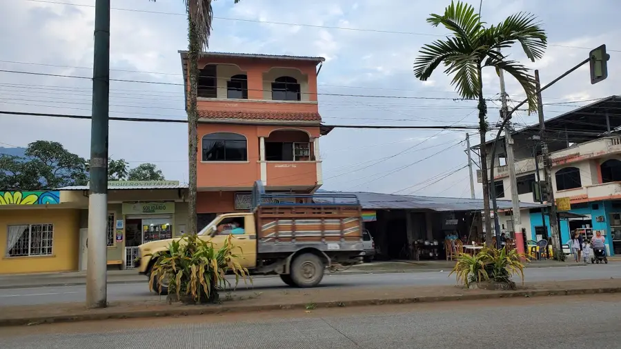
- Nearby: Gualaceo (14 km)
Best time to visit & climate
The most pleasant time to visit is Aug, Sep, Dec.
| Jan | Feb | Mar | Apr | May | Jun | Jul | Aug | Sep | Oct | Nov | Dec | |
|---|---|---|---|---|---|---|---|---|---|---|---|---|
| Avg °C | 12 | 12 | 12 | 12 | 12 | 11 | 11 | 11 | 11 | 12 | 12 | 12 |
| Rain mm | 101 | 116 | 143 | 130 | 110 | 99 | 75 | 67 | 61 | 95 | 99 | 95 |
📋 Practical info
Geography
Facts
- Altitude: 3,200 meters above sea level
- Built: 15th century
- Height of Temple of the Sun: 12 meters
- Site extent: about 4 hectares
- Distance from Cuenca: about 80 kilometers
- UNESCO World Heritage: part of Qhapaq Ñan (since 2014)
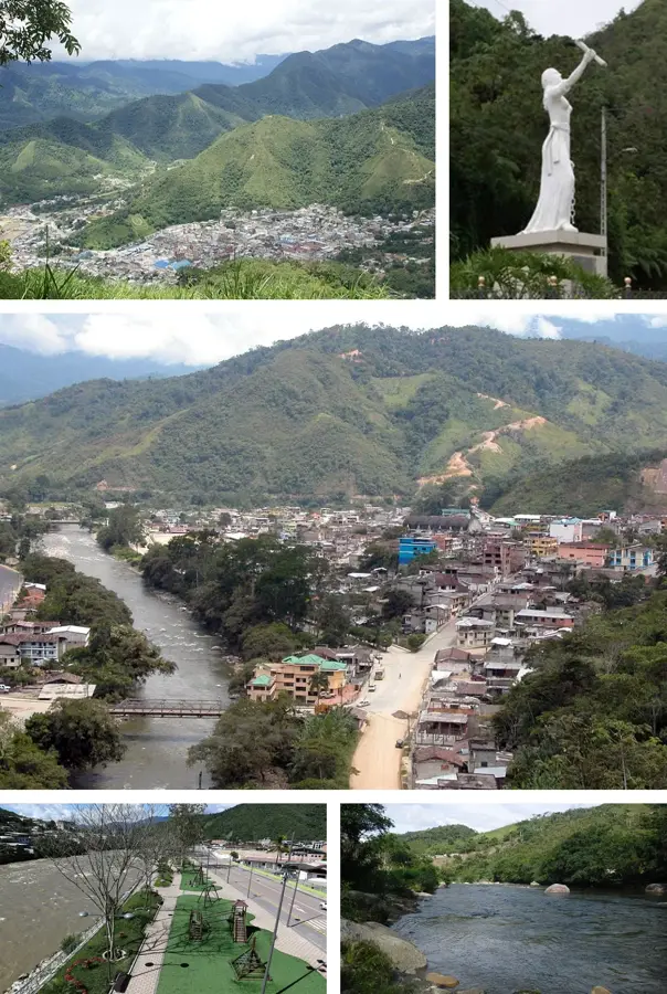
Explore nearby
Notable places around
Route planner — Car & Motorhome
Where do you start? We build the route here, with stops and country notes along the way.
© OpenStreetMap contributors · OpenRouteService
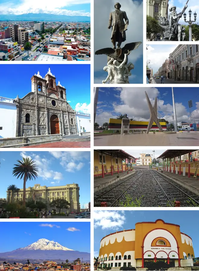
Sights in the town Ingapirca (8)
Sights nearby
Frequently asked questions
What is Ingapirca?
What are the opening hours?
How much is the entrance fee?
How far is it from Cuenca?
What should you bring?
Ingapirca: where is it located?
Ingapirca: what is there to see?
Ingapirca: when is the best time to visit?
Ingapirca: why is it worth visiting?

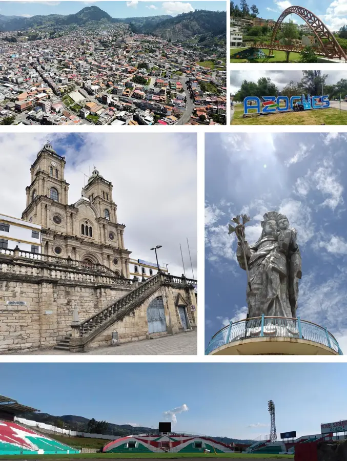
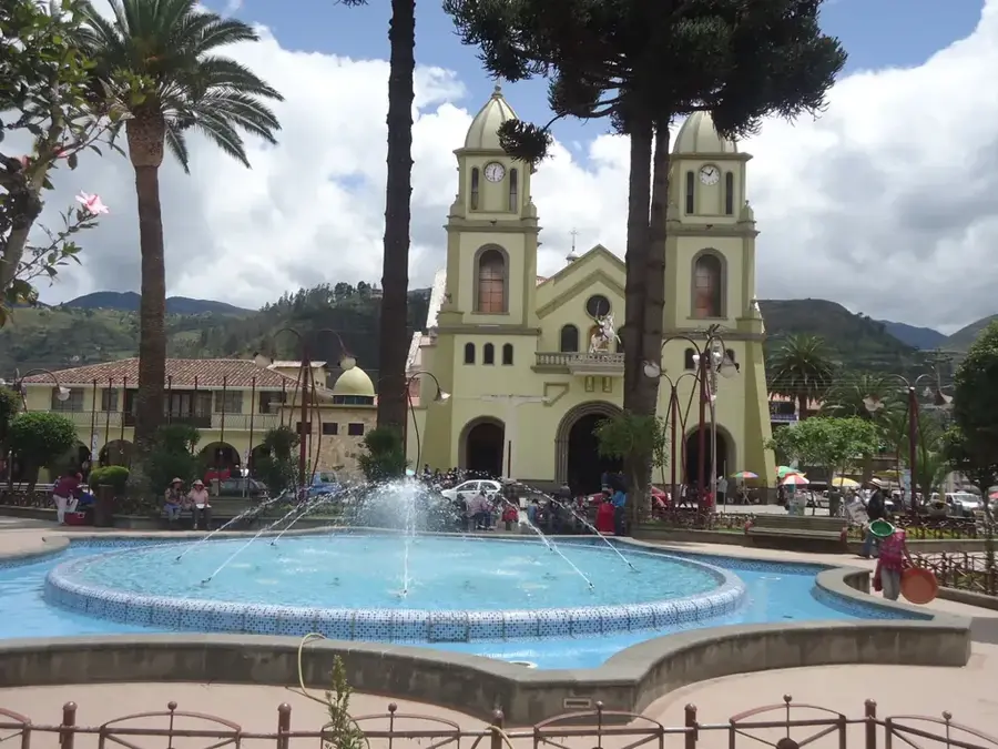
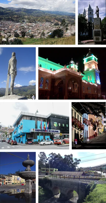
Nearby cities
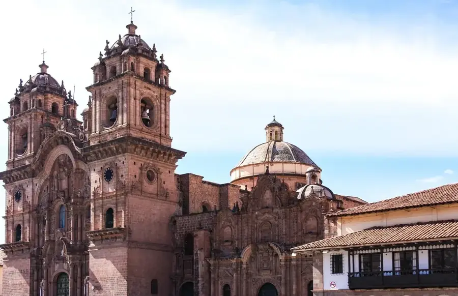
History & landmarks
Nature
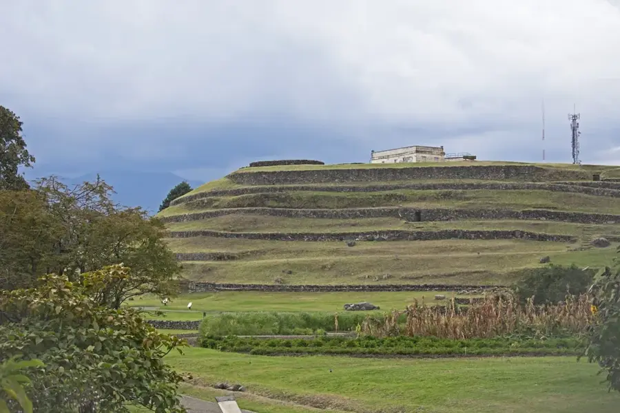
More places