Plizio Visual Lab
Vordingborg Bakke
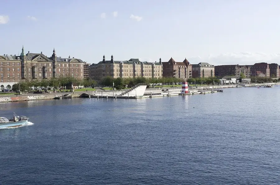
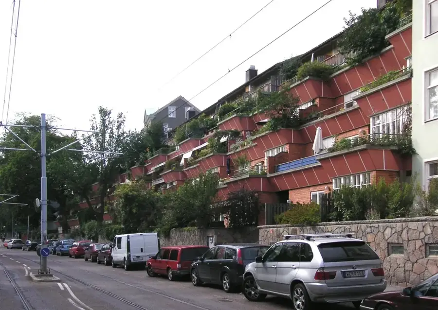
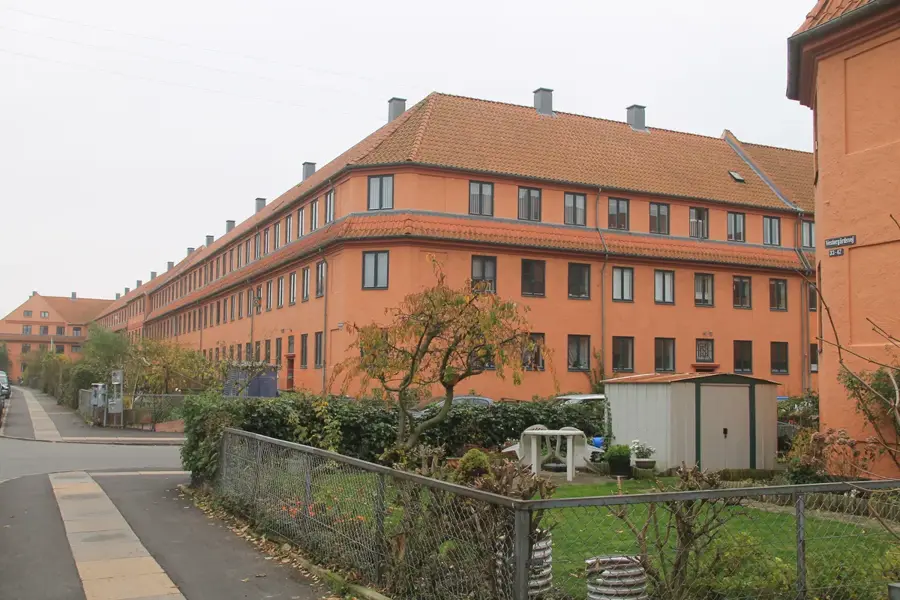
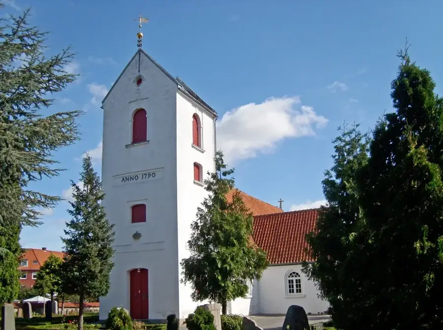
The relief of Vordingborg in southern Zealand is a diverse moraine landscape shaped by the retreating glaciers of the last Ice Age. It is characterized by rolling hills that slope down towards the Storstrømmen strait, giving the region its distinctive coastal profile. Historically, this topography was of paramount importance, providing a good strategic site for Vordingborg Castle, founded in the 12th century by King Valdemar the Great. From these elevated positions, the Danish crown could control maritime traffic between Zealand and Falster, as well as trade routes in the Baltic Sea. The hills reach heights of up to 40 meters, which provides extensive views across the surrounding islands in the typically flat Danish terrain. Geologically, the area consists of glacial till, creating fertile soils that have supported agriculture for generations. Today, the landscape is defined by the presence of historical ruins and major infrastructure like the Storstrøm Bridge, showcasing the intersection of natural relief and human engineering. The undulating terrain remains a key geographical feature that influences local climate and tourism.
- Location: Denmark
- Top sights: Ore Strand · Ore Fyr · Masnedøfortet
- Nearby: Hårbølle Havn (20 km)
Best time to visit & climate
The most pleasant time to visit is Jun–Aug.
| Jan | Feb | Mar | Apr | May | Jun | Jul | Aug | Sep | Oct | Nov | Dec | |
|---|---|---|---|---|---|---|---|---|---|---|---|---|
| Avg °C | 1 | 1 | 3 | 7 | 12 | 16 | 18 | 18 | 15 | 11 | 6 | 3 |
| Rain mm | 60 | 47 | 42 | 35 | 47 | 64 | 70 | 78 | 54 | 64 | 59 | 62 |
📋 Practical info
Geography
Facts
- The hills of Vordingborg were formed approximately 12,000 years ago.
- The castle site was chosen for its strategic elevation of 25-30 meters.
- The terrain slopes significantly toward the Storstrømmen strait.
- The highest natural point in the local relief is about 40 meters above sea level.
- Geologically, the area is characterized by fertile glacial till and marl.
- The undulating landscape creates a unique local microclimate protected from sea winds.
Explore nearby
Notable places around
Route planner — Car & Motorhome
Where do you start? We build the route here, with stops and country notes along the way.
© OpenStreetMap contributors · OpenRouteService
Sights in the town Vordingborg Bakke (7)
Sights nearby
Frequently asked questions
What is the landmark of Vordingborg?
What can be seen from the castle ruins?
Is there a museum there?
How is the harbor?
Is it hilly?
Vordingborg Bakke: where is it located?
Vordingborg Bakke: what is there to see?
Vordingborg Bakke: when is the best time to visit?
Vordingborg Bakke: why is it worth visiting?

Nearby cities