Plizio Visual Lab
Falster Bakke
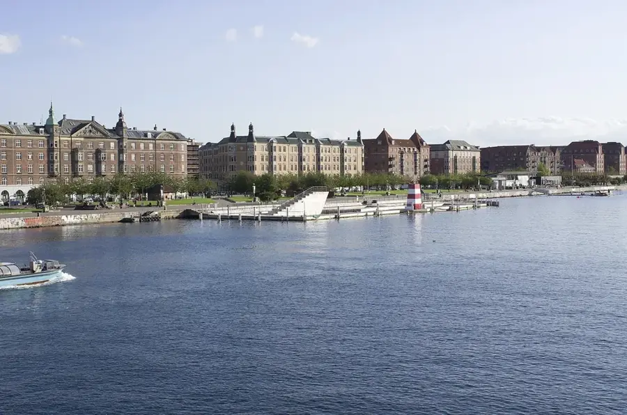
The relief of the island of Falster is predominantly flat to gently undulating, yet it contains several significant geological features. The island was formed as part of a moraine landscape during the last Ice Age, with modest elevations occurring primarily in the central and northern regions. The highest natural point on the island is Bavnehøj, reaching an elevation of 44 meters above sea level, providing clear views across the Danish archipelago. In stark contrast to the hilly north, the southern part of Falster is extremely low-lying, with areas like Bøtø Nor actually situated below sea level following reclamation and damming projects. This topographic duality makes Falster an interesting example of coastal dynamics and land management in Denmark. The soil is mostly composed of fertile loam, which has made the island a hub for sugar beet production for centuries. Along the eastern coast, the relief transitions smoothly into the extensive sandy beaches of Marielyst. The terrain's configuration significantly influences the island's drainage systems and the distribution of its vast agricultural fields.
- Location: Denmark
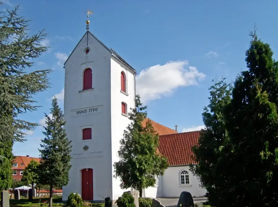
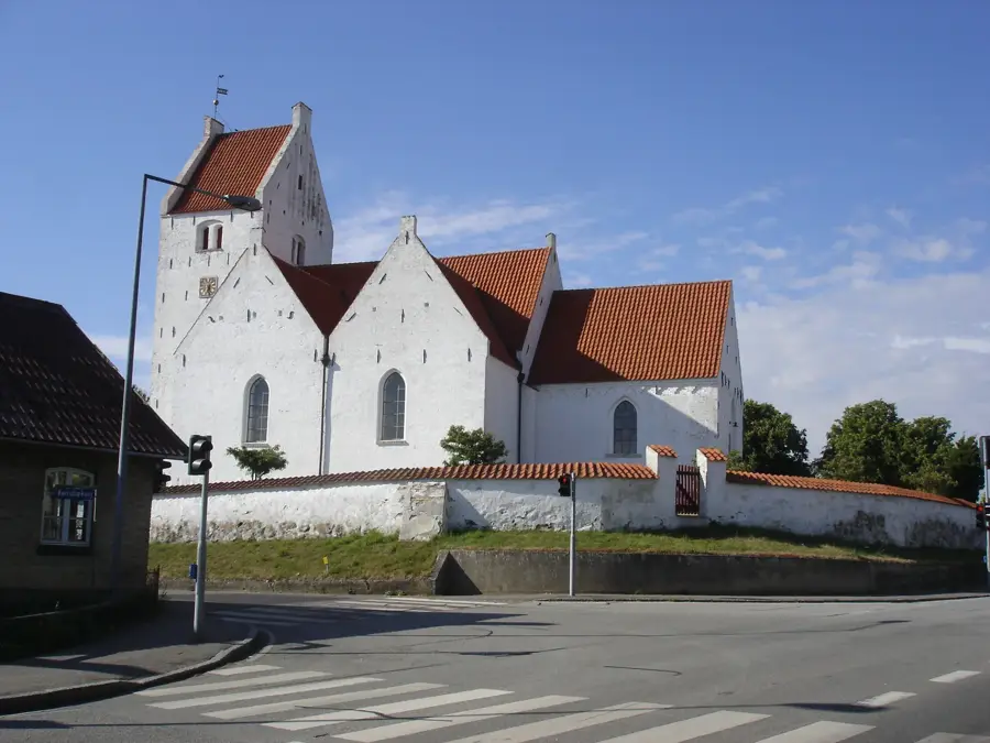
- Top sights: Galleri Matthies · Sønder Alslev Kirke · Sønder Kirkeby Kirke
- Nearby: Nykøbing Falster (5 km)
Best time to visit & climate
The most pleasant time to visit is Jun–Aug.
| Jan | Feb | Mar | Apr | May | Jun | Jul | Aug | Sep | Oct | Nov | Dec | |
|---|---|---|---|---|---|---|---|---|---|---|---|---|
| Avg °C | 1 | 1 | 3 | 7 | 12 | 16 | 18 | 18 | 15 | 11 | 6 | 3 |
| Rain mm | 60 | 47 | 42 | 35 | 47 | 64 | 70 | 78 | 54 | 64 | 59 | 62 |
📋 Practical info
Geography
Facts
- Bavnehøj is the highest point on Falster, standing at 44 meters above sea level.
- Southern Falster features reclaimed lands that sit below the current sea level.
- The island was shaped by moraine deposits during the Weichselian glaciation.
- The topography is significantly more hilly in the north than in the flat south.
- Fertile loamy soils are a result of the island's glacial geological origins.
- Marielyst on the east coast is situated on a flat coastal spit behind sand dunes.
Explore nearby
Notable places around
Route planner — Car & Motorhome
Where do you start? We build the route here, with stops and country notes along the way.
© OpenStreetMap contributors · OpenRouteService
Sights in the town Falster Bakke (3)
Sights nearby
Frequently asked questions
Where is Falster Bakke?
What is the highest point of Falster?
Are there beautiful beaches?
What can you do in Nykøbing Falster?
Where is the southernmost point?
Falster Bakke: where is it located?
Falster Bakke: what is there to see?
Falster Bakke: when is the best time to visit?
Falster Bakke: why is it worth visiting?

Nearby cities