Plizio Visual Lab
Næstved Bakke
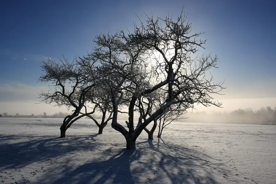
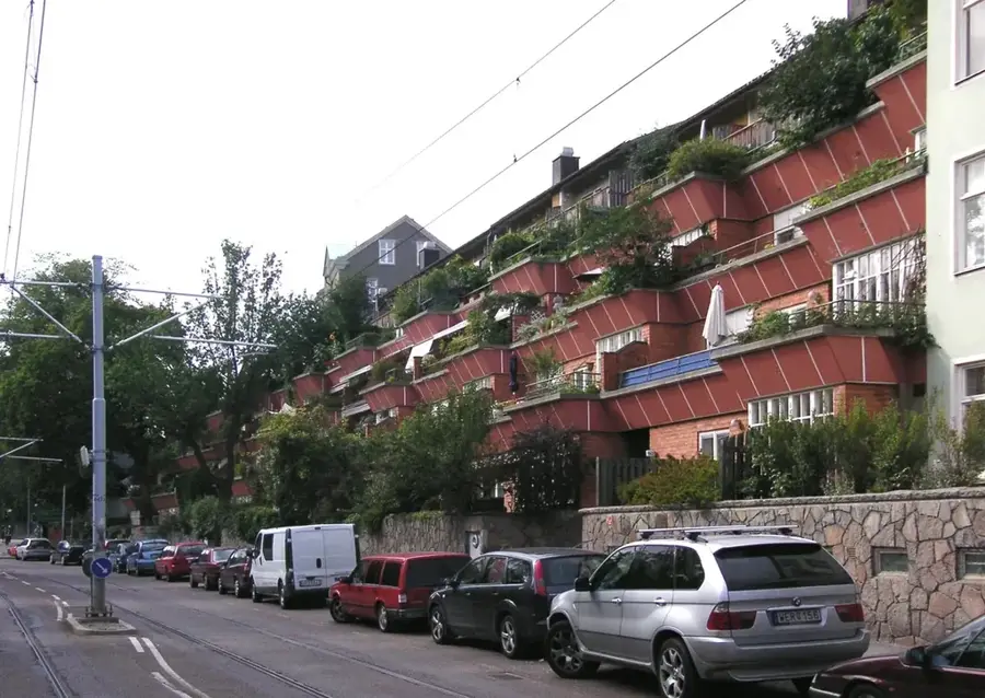
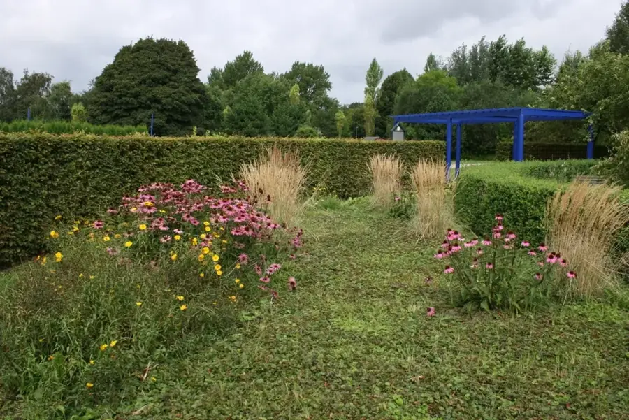
The relief surrounding Næstved on the Danish island of Zealand is a classic example of a glacial landscape formed approximately 15,000 years ago. The most prominent feature is the Mogenstrup Ås, a significant esker consisting of a long, narrow ridge of sand and gravel deposited by subglacial meltwater streams. This geological formation stretches across the landscape, providing a distinct vertical element in an otherwise predominantly flat agricultural region. Historically, these hills offered strategic advantages for the town, which was formally established around 1135 at the mouth of the Suså river. While the elevations typically remain below 50 meters above sea level, the sudden changes in terrain create a unique microclimate and support diverse forest ecosystems. Today, the hilly terrain is valued for its recreational potential and its role as a source of high-quality construction materials like gravel. The interplay between the moraine deposits and the low-lying plains defines the character of the southern Zealand landscape and its land-use patterns.
- Location: Denmark
- Top sights: Hermans Hule Næstved · Kanalrundfarten Friheden · Næstved Automobilmuseum
- Nearby: Herlufmagle (7 km)
Best time to visit & climate
The most pleasant time to visit is Jun–Aug.
| Jan | Feb | Mar | Apr | May | Jun | Jul | Aug | Sep | Oct | Nov | Dec | |
|---|---|---|---|---|---|---|---|---|---|---|---|---|
| Avg °C | 1 | 1 | 3 | 7 | 12 | 16 | 18 | 18 | 15 | 11 | 6 | 3 |
| Rain mm | 60 | 47 | 42 | 35 | 47 | 64 | 70 | 78 | 54 | 64 | 59 | 62 |
📋 Practical info
Geography
Facts
- The hills were formed during the Weichselian glaciation about 15,000 years ago.
- Mogenstrup Ås is one of the longest and best-preserved eskers in Denmark.
- The highest elevations in the local relief reach approximately 55 meters above sea level.
- Næstved was granted town status in 1135, benefiting from the hilly terrain.
- The soil consists primarily of glacial meltwater deposits like sand and gravel.
- Significant portions of the ridge are protected under Danish nature conservation laws.
Explore nearby
Notable places around
Route planner — Car & Motorhome
Where do you start? We build the route here, with stops and country notes along the way.
© OpenStreetMap contributors · OpenRouteService
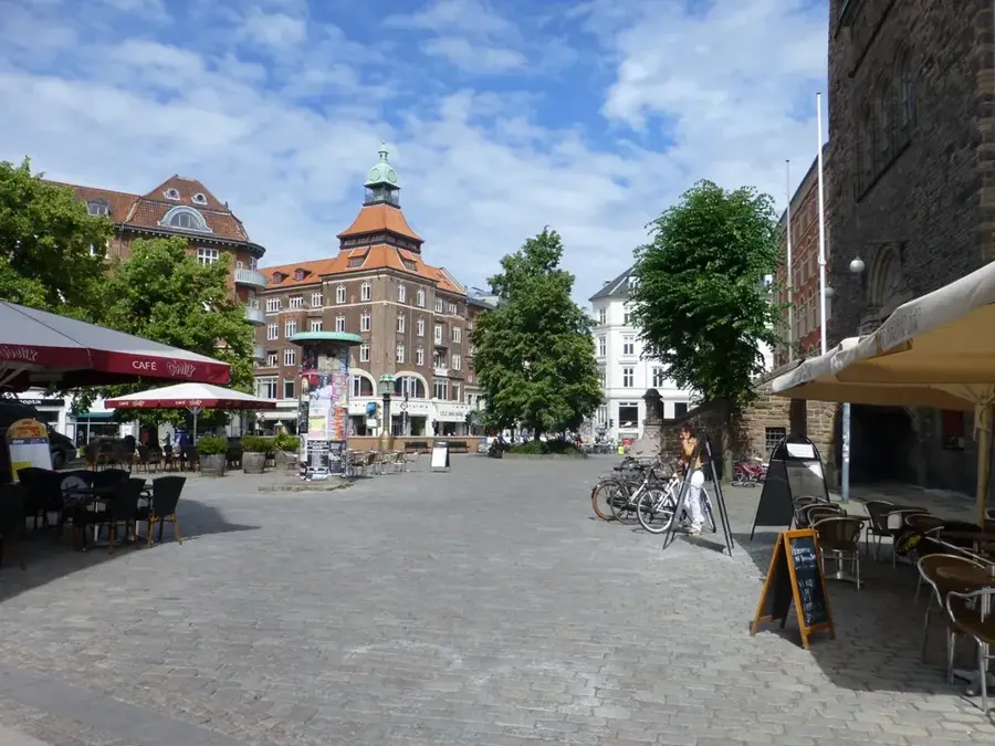
Sights in the town Næstved Bakke (10)
Næstved Kunstforening🏛 museum
Museum in Næstved, art association with rotating exhibitions.
Boderne🏛 museum
Building in Naestved Municipality, historic structures used for cultural purposes.
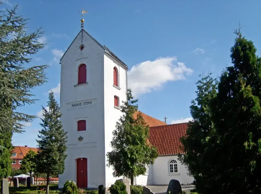
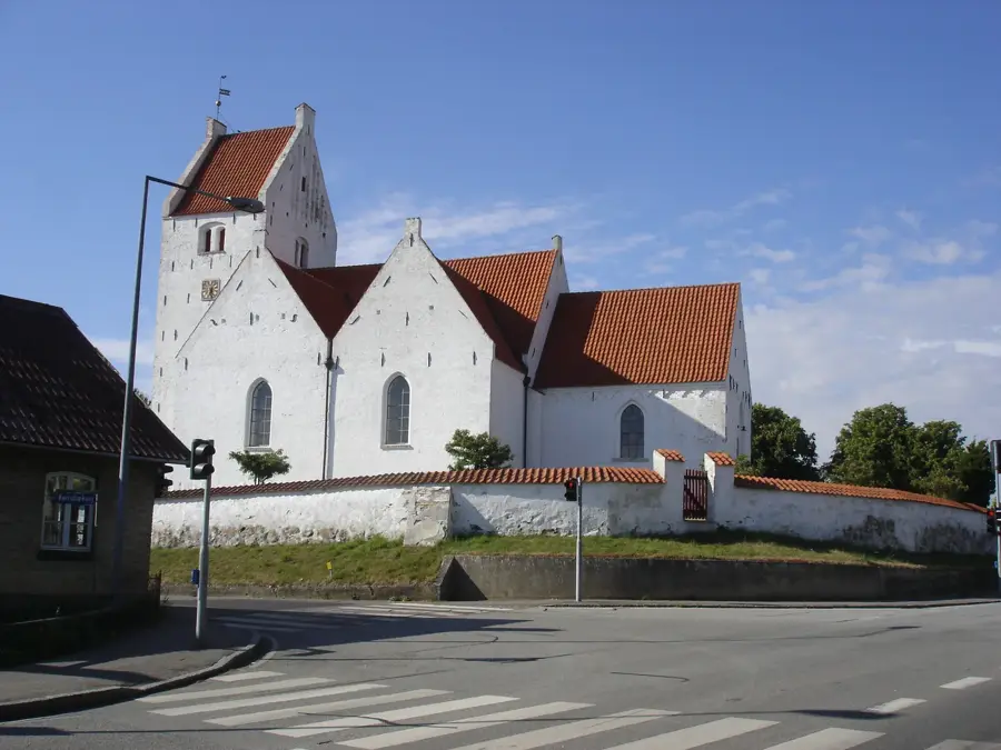
Sankt Peders Kirke
Church building in Naestved Municipality, Denmark, with medieval origins.
Vor Frue Kirke
Church building in Naestved Municipality, Denmark, of historical significance.
Sankt Mortens Kirke
Church building in Naestved Municipality, Denmark, dating from the Middle Ages.
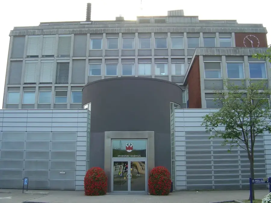
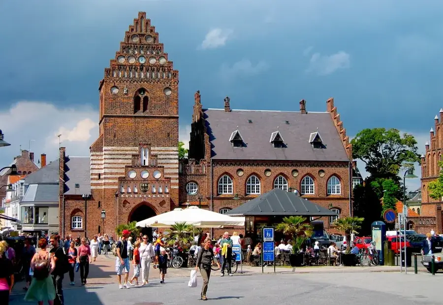
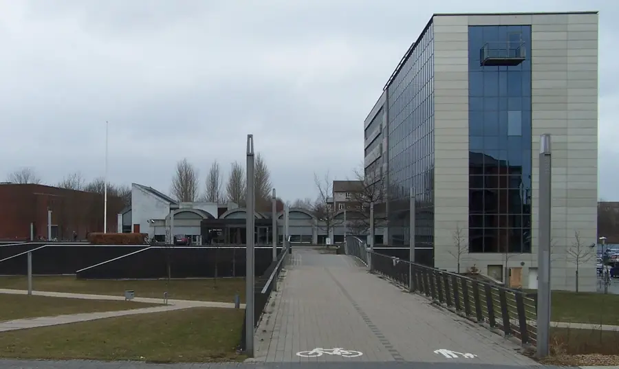
Næstved Rådhus
Town hall in Denmark, seat of the municipal administration of Næstved.
Sights nearby
Frequently asked questions
Where is Næstved Bakke?
What is Munkebakken?
Are there nature areas nearby?
What is Gavnø Slot?
Is there good shopping?
Næstved Bakke: where is it located?
Næstved Bakke: what is there to see?
Næstved Bakke: when is the best time to visit?
Næstved Bakke: why is it worth visiting?

Nearby cities