Plizio Visual Lab
Port of Boma

Weather…
Water temperature…
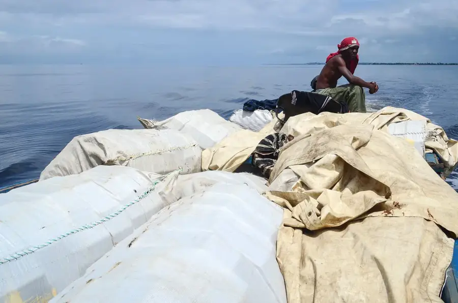
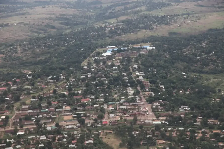
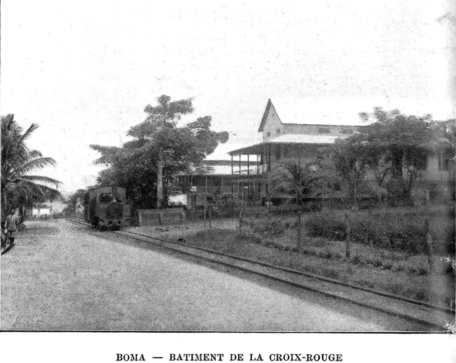
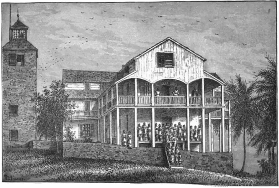
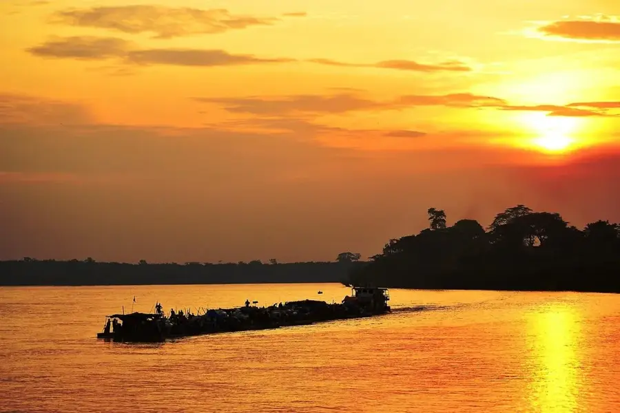
The Port of Boma is situated on the right bank of the Congo River, roughly 100 kilometers inland from the Atlantic Ocean. Before the rise of Matadi, Boma was the preeminent economic and political hub of the territory, serving as the capital of the Congo Free State and later the Belgian Congo from 1886 to 1926. Today, the port remains a vital transshipment point, particularly noted for the export of timber, cocoa, and bananas, as well as the importation of vehicles and consumer goods. While it gives less draft than Matadi, its berths are essential for medium-sized ocean-going vessels. The port infrastructure includes several hundred meters of quays and specialized handling areas. Historically, Boma was the terminus of the Mayumbe railway, which linked the agricultural interior to the coast. The port area is a significant site for Congolese heritage, housing numerous colonial-era landmarks while continuing to function as a key node in the national maritime logistics chain.
- Location: Congo - Kinshasa
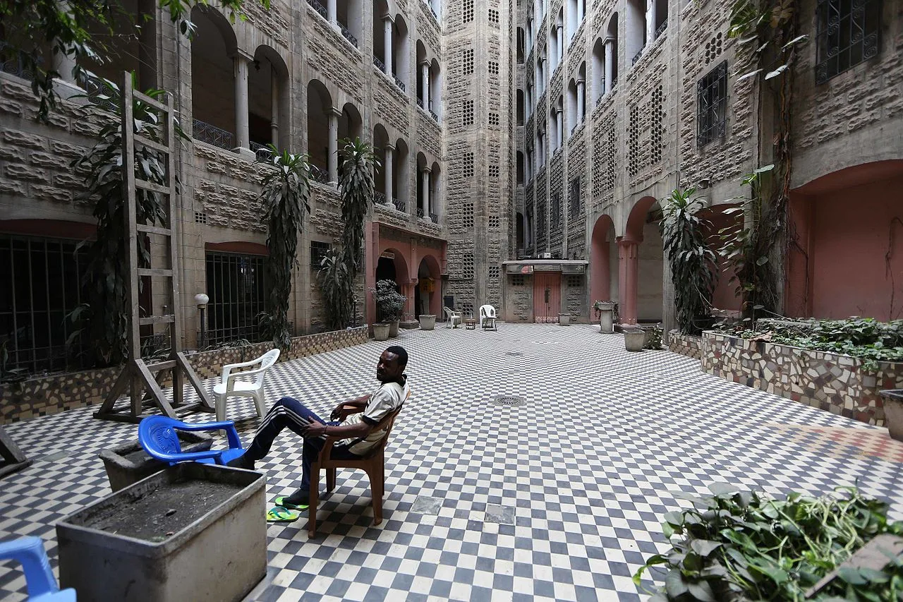
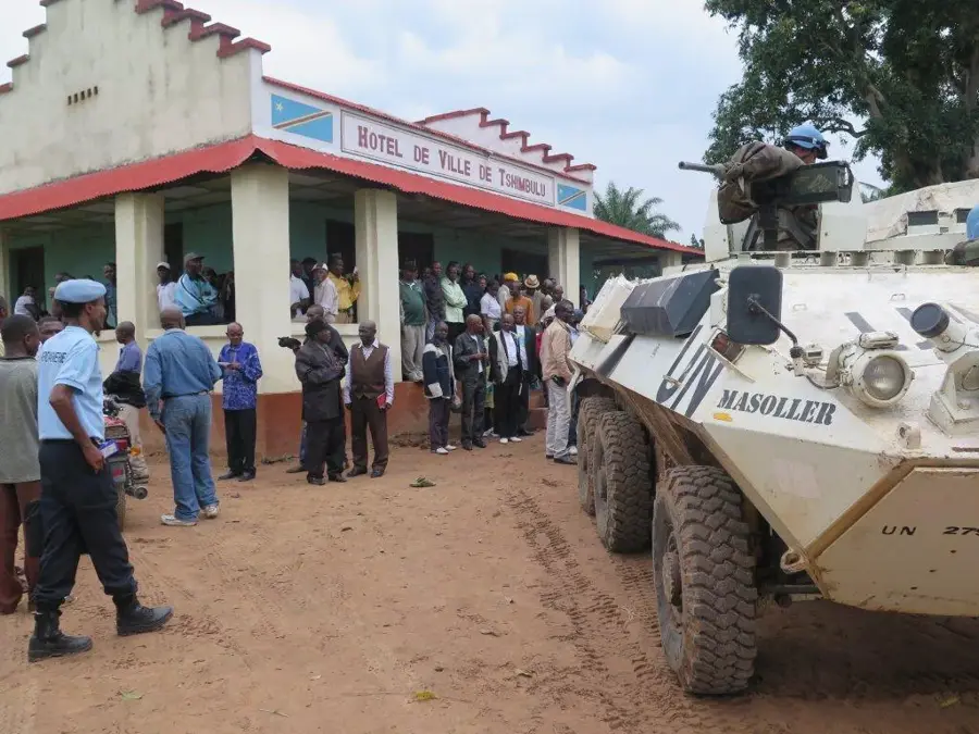
- Top sights: Premier Camp Militaire · Former residence of the Governor-General
- Nearby: Lukula (52 km)
Best time to visit & climate
The most pleasant time to visit is Jun–Aug.
| Jan | Feb | Mar | Apr | May | Jun | Jul | Aug | Sep | Oct | Nov | Dec | |
|---|---|---|---|---|---|---|---|---|---|---|---|---|
| Avg °C | 27 | 27 | 27 | 27 | 26 | 25 | 24 | 25 | 26 | 27 | 26 | 26 |
| Rain mm | 109 | 112 | 158 | 152 | 101 | 6 | 0 | 5 | 19 | 94 | 147 | 131 |
📋 Practical info
Geography
Facts
- Boma served as the national capital for 40 years (1886–1926).
- The port is located approximately 60 miles from the Atlantic mouth.
- It is a major entry point for imported second-hand vehicles.
- Timber is the primary industrial export handled at the quays.
- The facility played a central role in the early Belgian colonial economy.
- The city is home to a famous ancient baobab tree used as a cell in the past.
Explore nearby
Notable places around
Route planner — Car & Motorhome
Where do you start? We build the route here, with stops and country notes along the way.
© OpenStreetMap contributors · OpenRouteService
Sights in the town Port of Boma (2)
Sights nearby
Frequently asked questions
What is special about Boma port?
What goods are handled here?
Is it worth a visit for tourists?
How is the accessibility?
Are there markets there?
Port of Boma: where is it located?
Port of Boma: what is there to see?
Port of Boma: when is the best time to visit?
Port of Boma: why is it worth visiting?

Nearby cities

History & landmarks
Nature
More places