Plizio Visual Lab
Lukula
ℹ️Practical info — Lukula
▾
🌤 Weather — 5 days
📍 Nearby
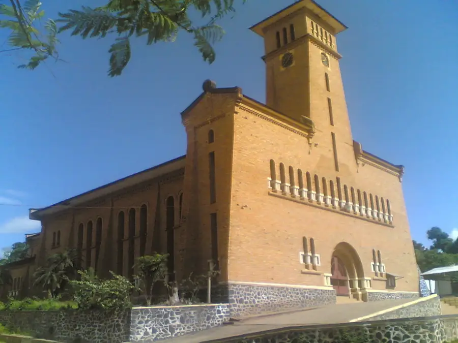
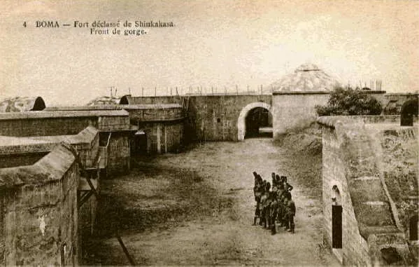
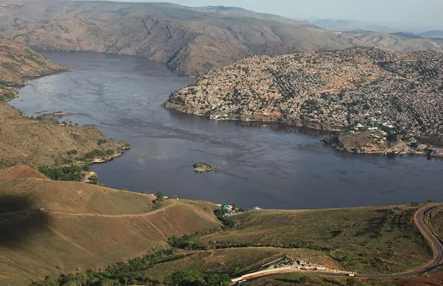
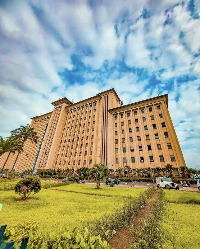
Sights nearby
💡 Tips
- Be prepared for a very humid tropical climate, as the town is a gateway to the Mayombe forest.
- The roads towards Boma and Matadi can be heavily congested with large transport trucks.
- Try the local palm wine, a popular and culturally significant beverage in the Kongo Central region.
- Kikongo and French are the primary languages you will hear and use here.
🍽 Food
Fermented cassava bread wrapped in leaves, an absolute must-try staple of Kongo Central.
A rich, savory stew made from palm nuts, usually served with meat or smoked fish.
The region is famous for agriculture, and the sweet bananas found at roadside stands are exceptional.
🛍 Shopping · 🧘 Quiet spots
Pick up fresh pineapples, cassava, and peanuts directly from local farmers.
Look for small carved wooden items made from the dense timber of the nearby forest.
Take a guided walk near the forest edge to hear the incredible sounds of the jungle in a serene setting.
The orderly rows of local palm or rubber plantations offer a quiet place for a stroll away from traffic.
Water temperature…
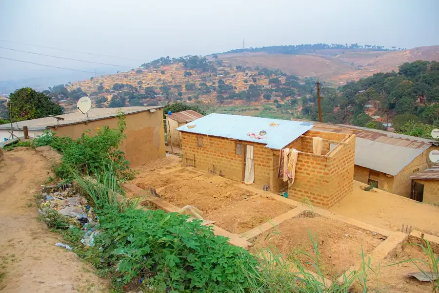
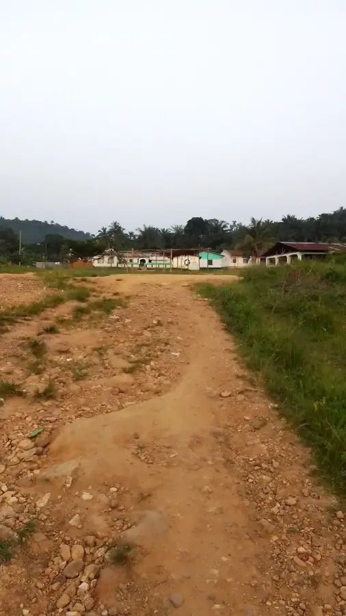
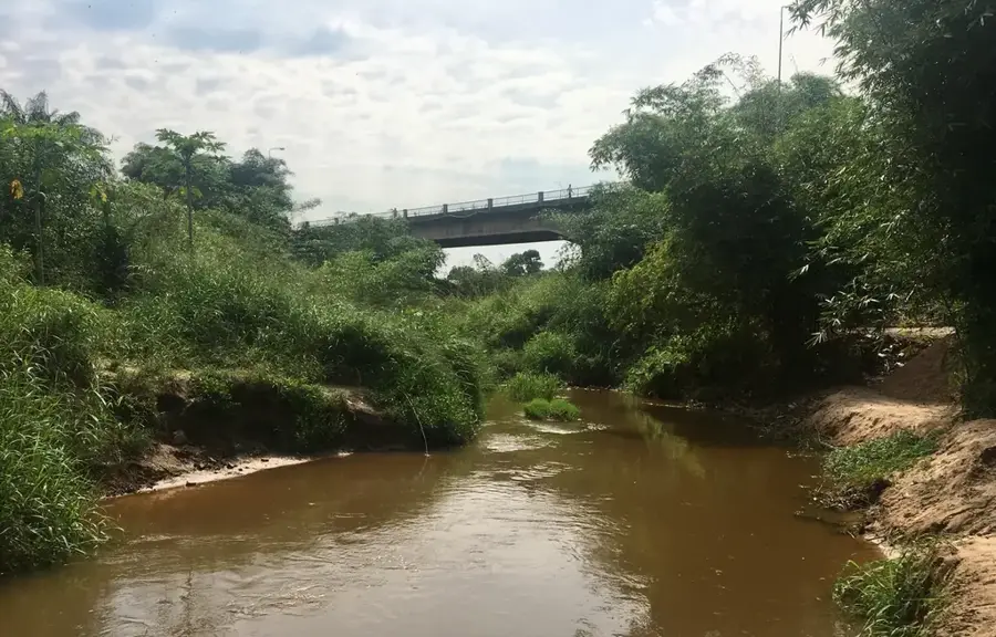
Lukula is a significant town in the Kongo Central Province, situated in the far southwestern reaches of the Democratic Republic of the Congo, near the border with the Angolan enclave of Cabinda. Located on the banks of the Lukula River, the town is historically and economically tied to the agricultural and forestry sectors of the Mayumbe region. During the colonial era, Lukula emerged as a vital hub for palm oil production and the export of high-quality timber. Its geographical position in the transition zone between dense rainforests and coastal plains dictates its humid, tropical climate. For many years, the sugar industry was a cornerstone of the local economy, supported by expansive sugarcane plantations in the surrounding countryside. Lukula sits on the road connecting the port of Boma with the hinterland and the Cabinda border, giving it a key role in regional and cross-border trade. Despite infrastructural needs, Lukula remains an important administrative and commercial focal point for the Mayumbe area.
- Location: Congo - Kinshasa
- Nearby: Tshela (43 km)
Best time to visit & climate
The most pleasant time to visit is Jun–Aug.
| Jan | Feb | Mar | Apr | May | Jun | Jul | Aug | Sep | Oct | Nov | Dec | |
|---|---|---|---|---|---|---|---|---|---|---|---|---|
| Avg °C | 26 | 26 | 26 | 26 | 26 | 24 | 24 | 24 | 26 | 26 | 26 | 25 |
| Rain mm | 131 | 133 | 178 | 166 | 124 | 8 | 1 | 5 | 23 | 111 | 176 | 157 |
Geography
Facts
- Lukula is located approximately 100 kilometers north of the port of Boma.
- The town was a key station on the defunct Mayumbe narrow-gauge railway.
- The Lukula River is a major tributary in the Shiloango river basin.
- Sugarcane and oil palm are the primary commercial crops in the area.
- The town serves as the administrative seat of the Lukula Territory.
- Lukula is strategically positioned for trade with neighboring Angola.
Explore nearby
Notable places around
Route planner — Car & Motorhome
Where do you start? We build the route here, with stops and country notes along the way.
© OpenStreetMap contributors · OpenRouteService
Frequently asked questions
What is the significance of Lukula?
How is the climate in Lukula?
Is there tourist infrastructure in Lukula?
What can you visit in Lukula?
Which language is spoken in Lukula?
Lukula: where is it located?
Lukula: when is the best time to visit?
Lukula: why is it worth visiting?

Nearby cities

History & landmarks

More places