Plizio Visual Lab
Boma

ℹ️Practical info — Boma
▾
🌤 Weather — 5 days
📍 Nearby
Sights nearby
💡 Tips
- Explore the historical colonial architecture in the center, a remnant of its time as the Congo Free State capital.
- Check the ferry schedules well in advance if you plan to cross the Congo River.
- The climate is hot and humid year-round, so dress in light, breathable clothing.
- Hire a local guide to learn about the city's complex history, including the famous Baobab of Stanley.
🍽 Food
Chicken in a rich palm nut sauce, often found at restaurants near the port.
Served fresh at the small eateries right along the riverside.
Sweet fried plantains that are popular as a quick street snack.
🛍 Shopping · 🧘 Quiet spots
A bustling area for bustling pagne fabrics and local spices.
Look for wooden souvenirs and crafts near the main historical sites.
Rest in the shade of this enormous, historically significant tree.
A calming walk overlooking the mighty Congo River.
Water temperature…
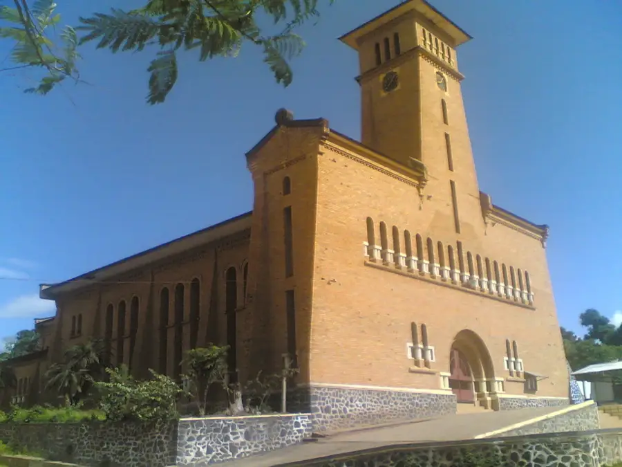
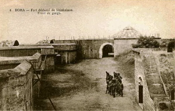
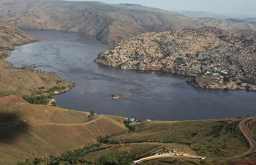
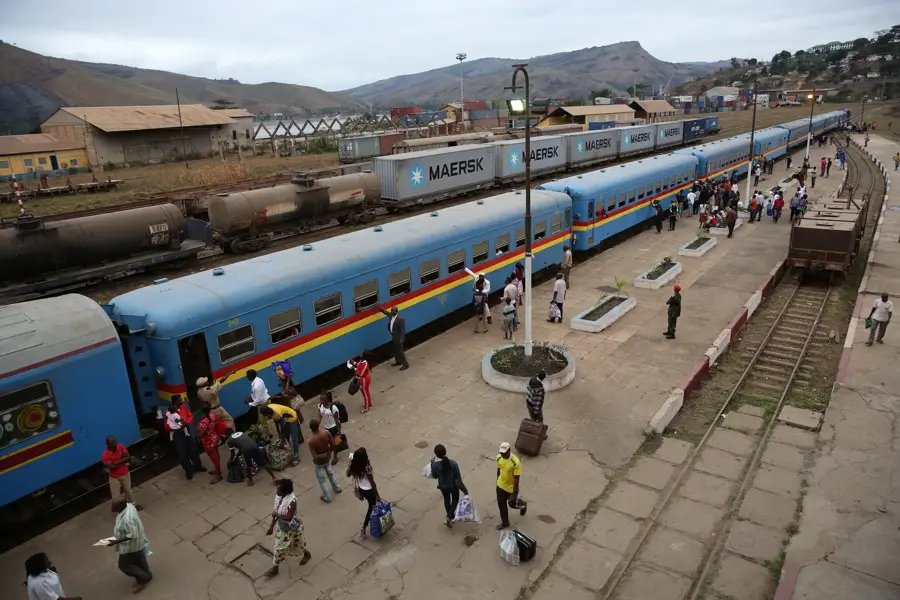
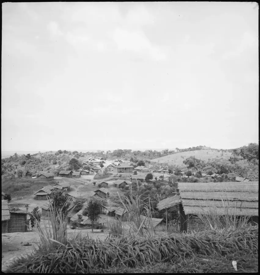
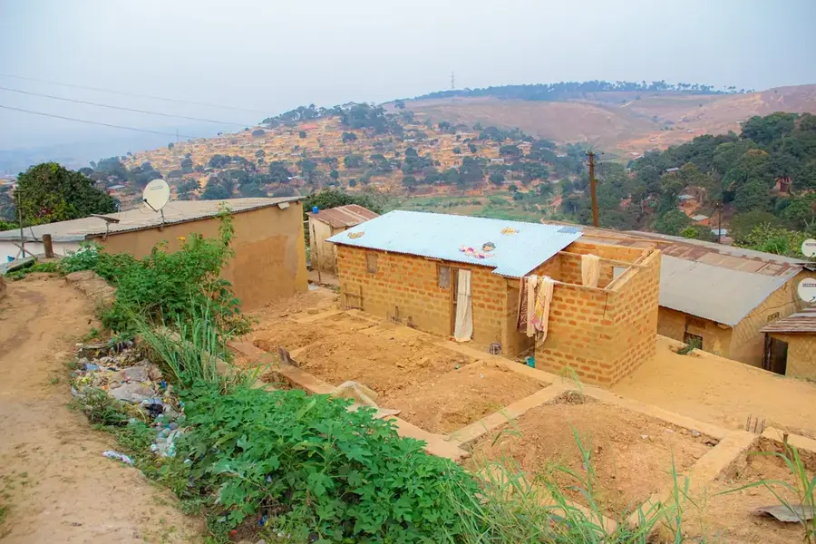
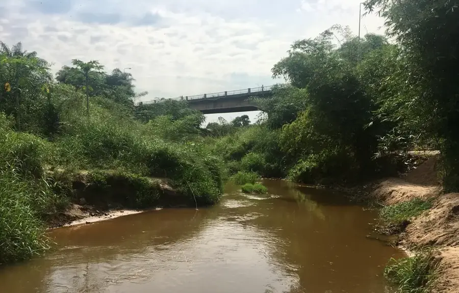
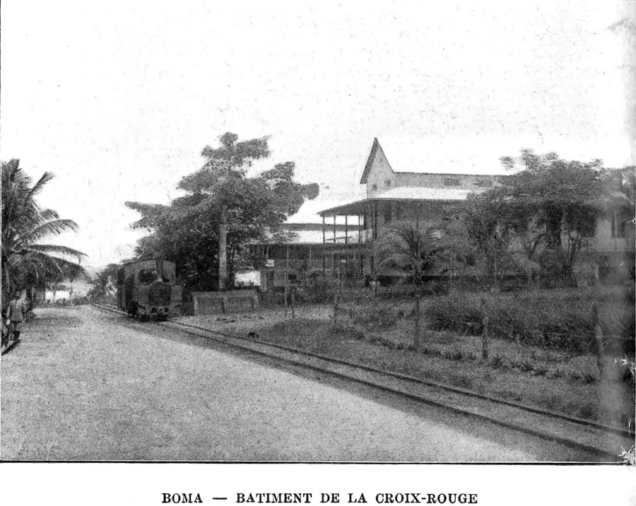
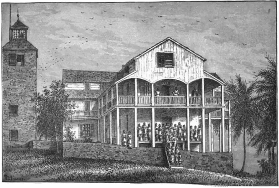
Boma is a historically significant city in the Kongo Central province, situated on the north bank of the Congo River near the border with Angola. It served as the capital of the Congo Free State and later the Belgian Congo from 1886 to 1923, before the seat of government was moved to Kinshasa. Due to its strategic location on the navigable lower reaches of the river, Boma flourished early as a major export port for rubber, ivory, and timber. During the colonial era, it was the terminus of the Mayumbe railway, which linked the coast to the resource-rich hinterland. Today, the city retains many historic structures, including the country's first Christian church and the Governor General's residence, which are part of its cultural heritage. While Matadi has surpassed it as the nation's primary port, Boma remains an important regional commercial hub, particularly for the export of tropical hardwoods. Geographically, its flatter terrain compared to Matadi allowed for a more expansive urban layout. The city also has a somber history as a significant slave trading post during the 18th century.
- Location: Congo - Kinshasa
- Nearby: Lukula (51 km)
- Population: ~297.009 (2023)
Best time to visit & climate
The most pleasant time to visit is Jun–Aug.
| Jan | Feb | Mar | Apr | May | Jun | Jul | Aug | Sep | Oct | Nov | Dec | |
|---|---|---|---|---|---|---|---|---|---|---|---|---|
| Avg °C | 27 | 27 | 27 | 27 | 26 | 25 | 24 | 25 | 26 | 27 | 26 | 26 |
| Rain mm | 109 | 112 | 158 | 152 | 101 | 6 | 0 | 5 | 19 | 94 | 147 | 131 |
Geography
Facts
- Boma served as the capital of the Congo from 1886 to 1923.
- The first Christian church in the DRC was built here in 1890.
- A 700-year-old baobab tree in Boma once functioned as a prison.
- The city is located approximately 100 kilometers from the Atlantic coast.
- It was once the starting point of the Mayumbe narrow-gauge railway.
- Boma was a major regional center for the slave trade in the 1700s.
Explore nearby
Notable places around
Route planner — Car & Motorhome
Where do you start? We build the route here, with stops and country notes along the way.
© OpenStreetMap contributors · OpenRouteService
Frequently asked questions
Was Boma a capital in the past?
Are there historical buildings?
What is Stanley's Baobab?
How far is Boma from the coast?
Can you stay overnight?
Boma: where is it located?
Boma: when is the best time to visit?
Boma: why is it worth visiting?

Nearby cities
History & landmarks
More places