Plizio Visual Lab
Matadi
ℹ️Practical info — Matadi
▾
🌤 Weather — 5 days
📍 Nearby
Sights nearby
💡 Tips
- Matadi is very hilly, wear sturdy shoes for walking the steep streets.
- Visit the Matadi Bridge for spectacular views over the mighty Congo River.
- The climate is extremely hot and humid, so stay well hydrated.
- Travel to Kinshasa is best done early in the morning via the toll road to avoid traffic.
🍽 Food
Try fresh catches at restaurants overlooking the river.
A popular premium fish choice in the city's nicer dining spots.
Salted fish, a savory staple in local meals.
🛍 Shopping · 🧘 Quiet spots
Bustling place for colorful fabrics and local produce.
Good for imported goods and practical items for further travel.
Has a high vantage point to watch the port activity peacefully.
Walk across for a breezy, scenic view of the Yelala rapids.
Water temperature…
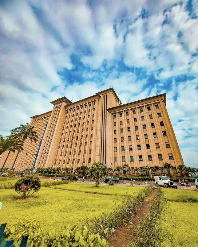
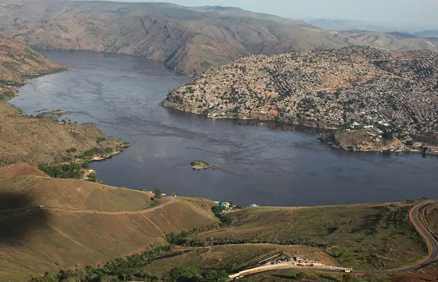
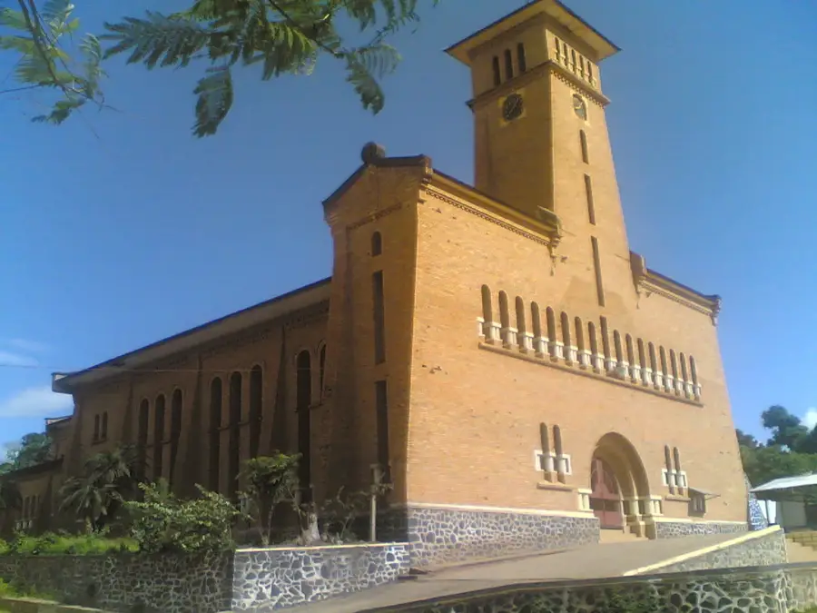
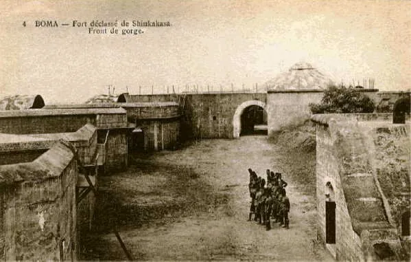
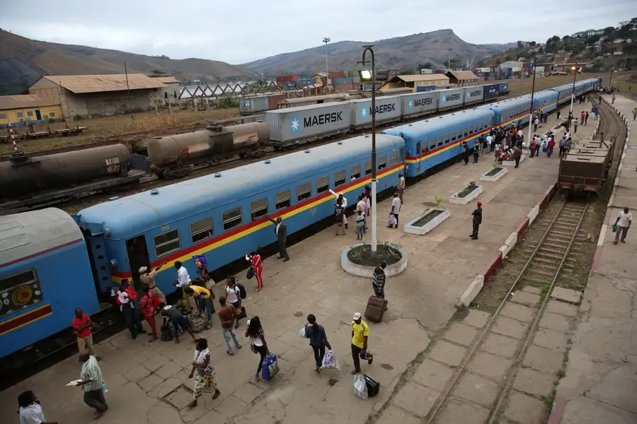
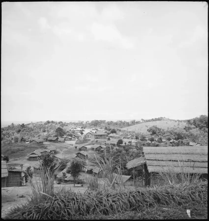
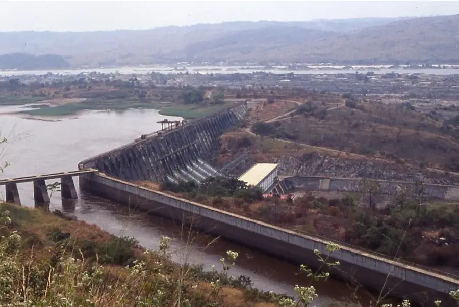
Matadi is the chief seaport and the capital of the Kongo Central Province, located in the westernmost part of the Democratic Republic of the Congo. It sits on the left bank of the Congo River, roughly 148 kilometers from the Atlantic Ocean, at the furthest point accessible to ocean-going vessels before the river becomes a series of impassable rapids and falls. The name 'Matadi' translates to 'stones' in the local Kikongo language, a nod to the rocky, steep hillsides upon which the city is precariously built. One of its most iconic features is the Matadi Bridge (Pont Maréchal), a major suspension bridge that spans the river, connecting the city to the northern bank and the road to Angola. As the nation’s primary gateway for international trade, Matadi handles the vast majority of the country's mineral exports and consumer imports. The historic Matadi-Kinshasa railway, completed in 1898, remains a vital logistical link, bypassing the unnavigable Livingstone Falls to supply the capital. Near the city lie the Inga Dams, colossal hydroelectric projects that harness the power of the Congo River's rapids. Historically, the area near Matadi is home to the Yelala Inscriptions, left by Portuguese explorers in the 15th century. The population is predominantly Bakongo, and the city serves as a major cultural hub for this ethnic group. The urban environment is characterized by steep, winding streets and a humid tropical climate influenced by the Atlantic. Matadi is a bustling, high-energy port city where the rhythm of life is dictated by the arrival and departure of large ships. Ongoing investments in port infrastructure and road rehabilitation aim to ensure Matadi remains the strategic heart of Congolese commerce for decades to come.
- Location: Congo - Kinshasa
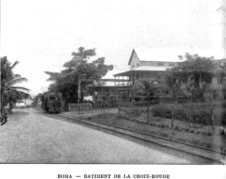
- Nearby: Boma (46 km)
- Population: ~425.662 (2026)
Best time to visit & climate
The most pleasant time to visit is Jun–Aug.
| Jan | Feb | Mar | Apr | May | Jun | Jul | Aug | Sep | Oct | Nov | Dec | |
|---|---|---|---|---|---|---|---|---|---|---|---|---|
| Avg °C | 26 | 26 | 26 | 26 | 26 | 25 | 24 | 25 | 26 | 27 | 26 | 25 |
| Rain mm | 109 | 114 | 167 | 164 | 107 | 7 | 0 | 6 | 24 | 99 | 154 | 144 |
Geography
Facts
- Matadi is the Democratic Republic of the Congo's primary ocean port.
- The Matadi Bridge is the only permanent crossing of the lower Congo River.
- The city was founded in 1886 by Sir Henry Morton Stanley.
- It serves as the administrative capital of the Kongo Central Province.
- The terrain is extremely hilly, earning the city the nickname 'Stoneland'.
- Matadi is the terminus of the railway line that connects the coast to Kinshasa.
- The climate is tropical, with a mean annual temperature of about 27°C.
- The port facility is located on the left bank, opposite the town of Vivi.
Explore nearby
Notable places around
Route planner — Car & Motorhome
Where do you start? We build the route here, with stops and country notes along the way.
© OpenStreetMap contributors · OpenRouteService
Sights in the town Matadi (1)
Frequently asked questions
Why is Matadi important?
What is the Maréchal Bridge?
How is the terrain in the city?
Are there sights?
How to travel from Kinshasa?
Matadi: where is it located?
Matadi: when is the best time to visit?
Matadi: why is it worth visiting?

Nearby cities

History & landmarks

More places