Plizio Visual Lab
Kasangulu
ℹ️Practical info — Kasangulu
▾
🌤 Weather — 5 days
📍 Nearby
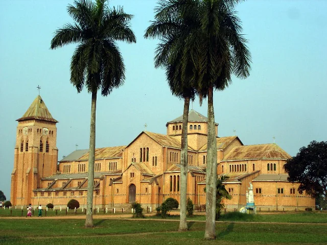
Sights nearby
💡 Tips
- As the gateway to Kinshasa, expect heavy traffic on the RN1 highway passing through town.
- It is a popular stopover; use the opportunity to buy fresh produce before entering the capital.
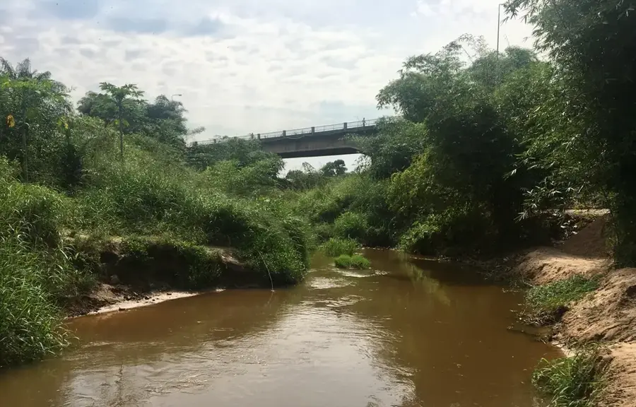
- The nearby Lukaya river provides a cooler microclimate compared to the busy town center.
- Local vendors will approach vehicles; keep small change handy if you wish to buy fruits.
- Security is generally stable, but always keep an eye on your belongings in crowded stopover areas.
🍽 Food
A dense, fermented cassava bread, often sold wrapped in leaves by the roadside.
Try the widely popular street-side grilled goat meat, a local favorite.
Enjoy sweet pineapples and bananas sold fresh from the surrounding farms.
🛍 Shopping · 🧘 Quiet spots
The highway is lined with stalls offering the freshest vegetables meant for Kinshasa.
You will see large sacks of charcoal being traded, a vital energy source for the region.
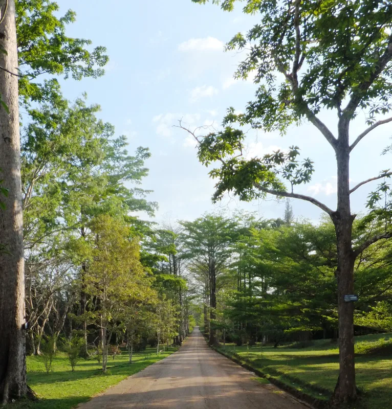
Head slightly out of town to the riverbanks for a quiet moment away from the highway.
The rolling hills outside the urban center offer scenic and peaceful walks.
Water temperature…
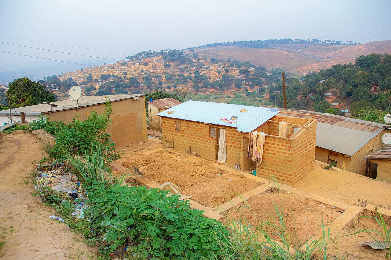
Kasangulu is a strategically vital town in the Kongo Central Province, located on the direct border with the Kinshasa Province in the western Democratic Republic of the Congo. Due to its immediate proximity to the capital, Kasangulu serves as a key gateway and transit point for all road traffic traveling between Kinshasa and the Atlantic ports of Matadi and Boma. Situated on National Highway 1, the town acts as a major logistical checkpoint for the flow of goods essential to the capital's economy. The geography of Kasangulu is defined by rolling savannah and low hills, providing a slightly cooler climate than the nearby metropolis. The local economy thrives by supplying Kinshasa with charcoal, construction materials, and fresh agricultural produce such as vegetables and cassava. Over the past decade, Kasangulu has experienced rapid urban growth as a residential alternative for commuters seeking to escape the congestion of Kinshasa. The town represents a dynamic intersection of transport, commerce, and suburban development.
- Location: Congo - Kinshasa
- Nearby: Inkisi (45 km)
- Population: ~45.400 (2023)
Best time to visit & climate
The most pleasant time to visit is Jun–Aug.
| Jan | Feb | Mar | Apr | May | Jun | Jul | Aug | Sep | Oct | Nov | Dec | |
|---|---|---|---|---|---|---|---|---|---|---|---|---|
| Avg °C | 25 | 26 | 26 | 26 | 25 | 24 | 24 | 25 | 26 | 26 | 25 | 25 |
| Rain mm | 166 | 165 | 207 | 207 | 149 | 14 | 3 | 13 | 57 | 176 | 278 | 249 |
Geography
Facts
- Kasangulu is located just 30 kilometers from the outskirts of Kinshasa.
- The town is a vital administrative center for the Lukaya District.
- It hosts a major toll station and security checkpoint on the N1 highway.
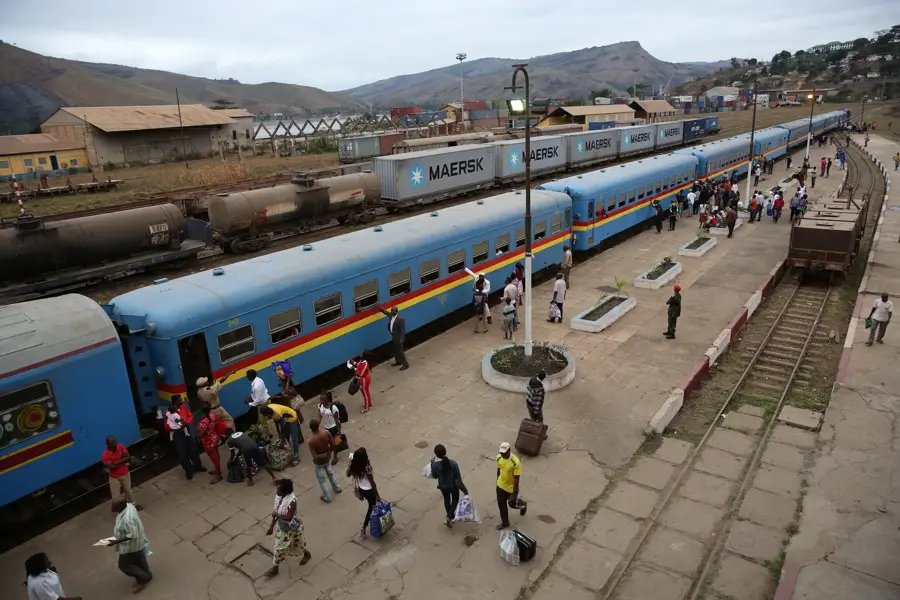
- The Matadi-Kinshasa railway provides essential freight services here.
- Much of the charcoal used in Kinshasa is sourced from the Kasangulu area.
- The town sits at an average elevation of 450 meters above sea level.
Explore nearby
Notable places around
Route planner — Car & Motorhome
Where do you start? We build the route here, with stops and country notes along the way.
© OpenStreetMap contributors · OpenRouteService
Frequently asked questions
Why visit Kasangulu?
How far is Kasangulu from the capital?
Are there places to stay in Kasangulu?
What activities are available near Kasangulu?
Is the road to Kasangulu safe?
Kasangulu: where is it located?
Kasangulu: when is the best time to visit?
Kasangulu: why is it worth visiting?

Nearby cities
History & landmarks

More places