Plizio Visual Lab
Ngoko
ℹ️Practical info — Ngoko
▾
🌤 Weather — 5 days
📍 Nearby
Sights nearby
💡 Tips
- Ngoko is very remote; ensure you have a reliable local guide for navigation.
- Infrastructure is basic, so self-sufficiency in water and first aid is crucial.
- Respect local traditions and always ask the village chief's permission before taking photos.
- Connectivity is very limited; inform someone of your itinerary before arriving.
🍽 Food
If offered, ensure it is legally sourced; it is a traditional protein here.
Locals often forage unique fruits; ask your guide before trying.
A staple energy source usually boiled or fried.
🛍 Shopping · 🧘 Quiet spots
A very small, informal gathering where you might find basic provisions.
Handmade items by villagers can sometimes be purchased directly from the makers.
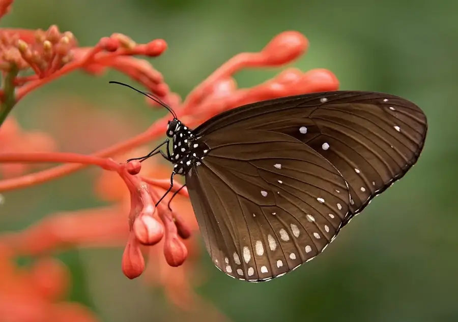
The entire area is a sanctuary of nature; enjoy the immersive sounds of the jungle.
The edge of the settlement features immediate access to untouched wilderness.
Water temperature…
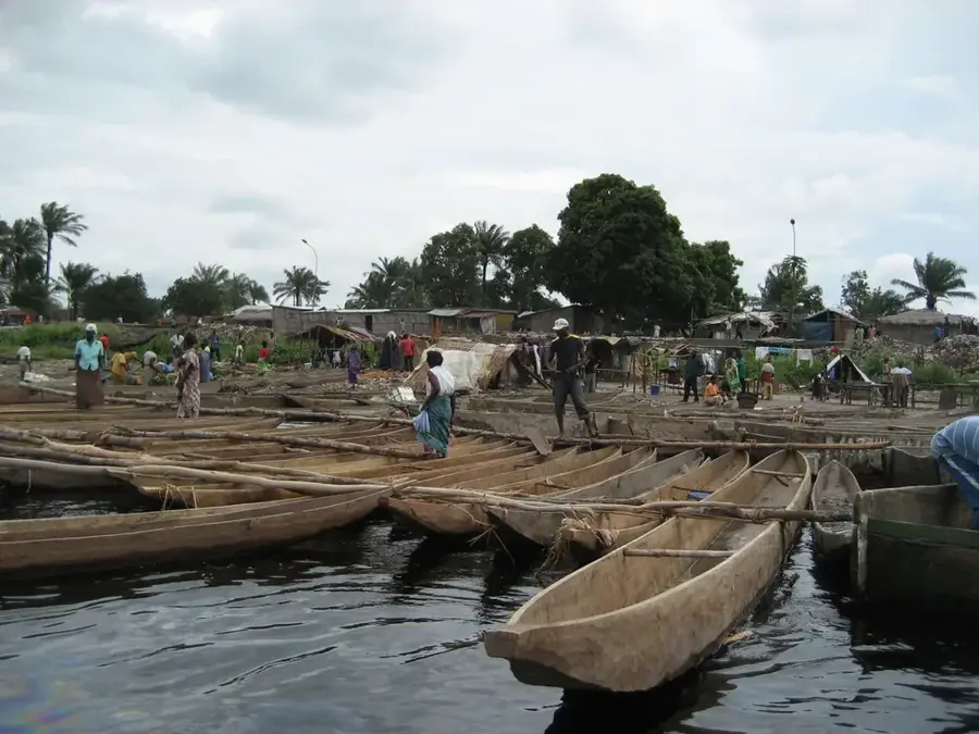
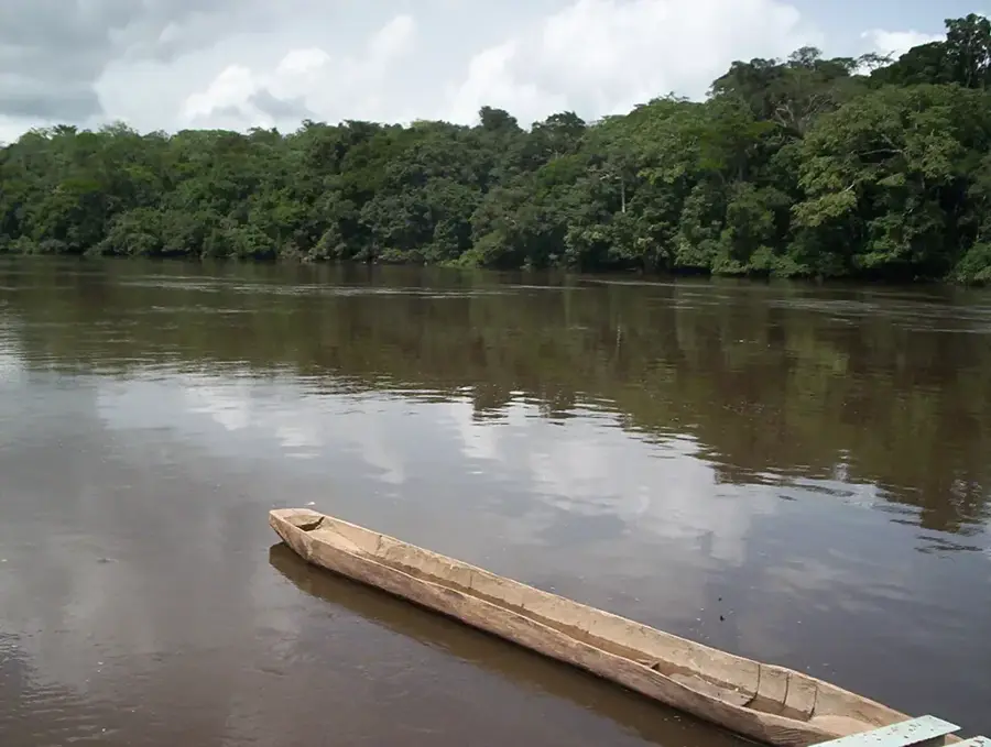
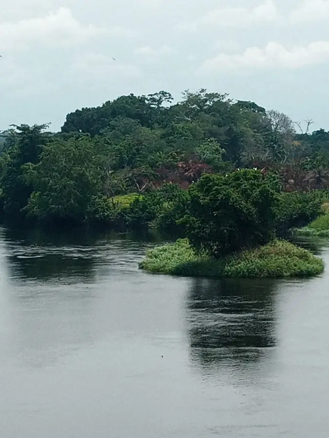
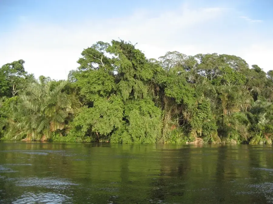
Ngoko is located in the far north of the Republic of the Congo, directly on the border with Cameroon in the Sangha Department. The settlement is situated on the banks of the Ngoko River, which forms the natural international boundary here before flowing into the Sangha River. This remote border region is part of the Sangha Trinational protected area, renowned for its extraordinary richness in tropical flora and fauna. Ngoko serves as an important observation post for cross-border trade flows and for protecting biodiversity against poaching. The economic activities of the small population center on river fishing, subsistence farming, and providing services to transit travelers. Access to the region is challenging, mostly occurring via unpaved tracks or by dugout canoe on the river, making the town one of the most isolated outposts in the country.
- Location: Congo - Brazzaville
- Nearby: Abala (33 km)
Best time to visit & climate
The most pleasant time to visit is Jun–Aug.
| Jan | Feb | Mar | Apr | May | Jun | Jul | Aug | Sep | Oct | Nov | Dec | |
|---|---|---|---|---|---|---|---|---|---|---|---|---|
| Avg °C | 26 | 26 | 26 | 26 | 26 | 26 | 26 | 26 | 25 | 25 | 25 | 25 |
| Rain mm | 99 | 141 | 177 | 163 | 163 | 93 | 45 | 89 | 173 | 233 | 213 | 168 |
Geography
Facts
- The Ngoko River defines the border between Congo and Cameroon.
- The region is part of the 'Sangha Trinational' UNESCO World Heritage site.
- The nearest major city, Ouesso, is located several hours away by boat.
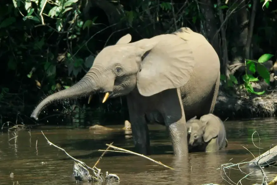
- The surrounding forests are home to significant populations of forest elephants.
- The climate is marked by high humidity and heavy rainfall year-round.
- The settlement serves as a vital base for rangers monitoring the protected areas.
Explore nearby
Notable places around
Route planner — Car & Motorhome
Where do you start? We build the route here, with stops and country notes along the way.
© OpenStreetMap contributors · OpenRouteService
Frequently asked questions
What is Ngoko?
How do you cross the Ngoko River?
What defines the economy of Ngoko?
Is there medical help there?
What is the nature like in Ngoko?
Ngoko: where is it located?
Ngoko: when is the best time to visit?
Ngoko: why is it worth visiting?

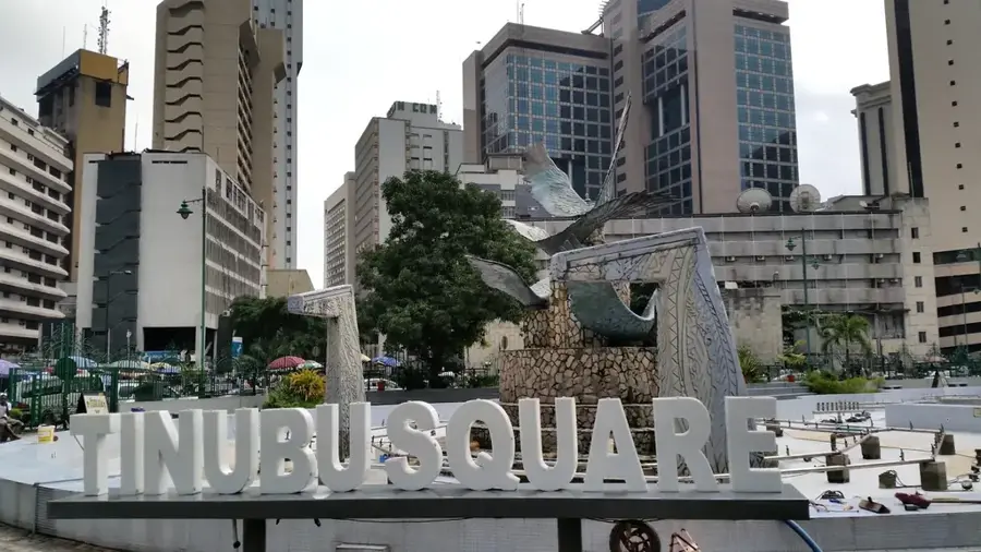
Nearby cities

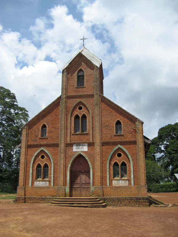
History & landmarks
Nature
More places