Plizio Visual Lab
Lukolela
ℹ️Practical info — Lukolela
▾
🌤 Weather — 5 days
📍 Nearby
Sights nearby
💡 Tips
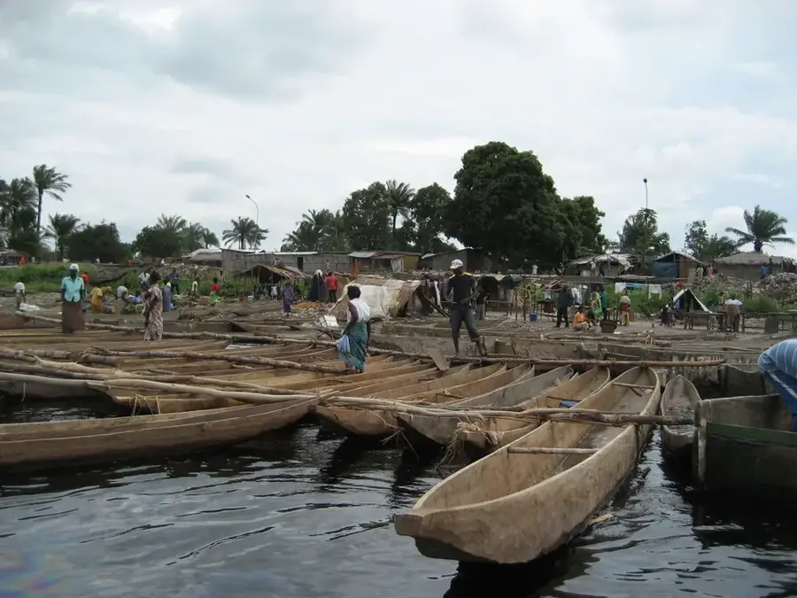
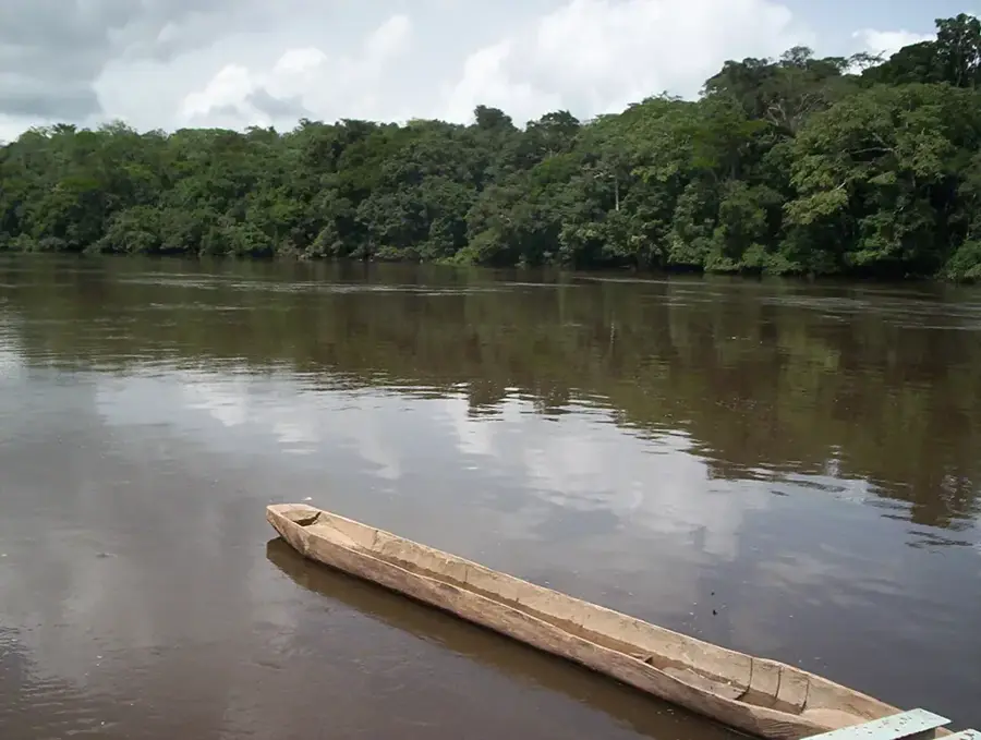
- Located deep within the wetlands, this settlement is primarily accessed by river boats.
- Strict malaria precautions and strong insect repellent are absolutely essential here.
- Respect local river culture; always ask for permission before taking photos of people or boats.
- Expect extremely high humidity and frequent rain; pack lightweight, breathable clothing.
🍽 Food
Try the daily catch, often steamed in banana leaves, sold by fishers near the water.
Look out for unique, locally gathered wild fruits from the surrounding Congo Basin forest at the market.
Cassava is the absolute staple here, served as a dense bread (chikwangue) or starchy paste.
🛍 Shopping · 🧘 Quiet spots
Witness the local trade as boats arriving from larger towns sell provisions directly from the dock.
Buy some locally smoked fish, which is the main preserved commodity produced in this wetland area.
Find a quiet spot on the bank to watch the massive Congo River and its slow, steady traffic.
Take a brief walk to the edge of the dense vegetation surrounding the town, ideally with a local guide.
Water temperature…
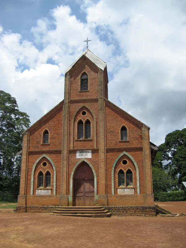
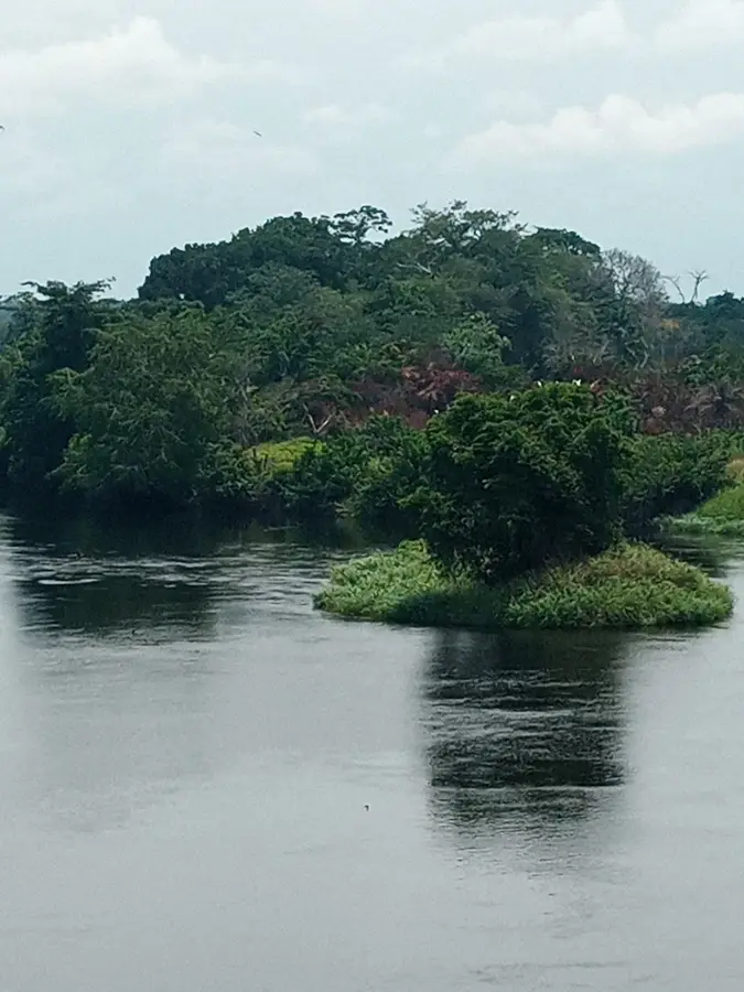
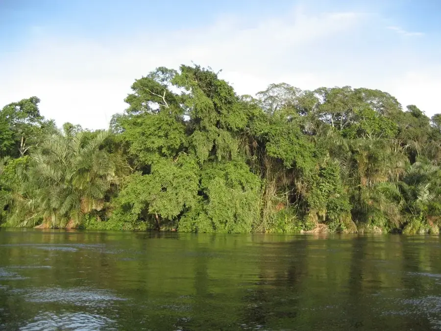
Lukolela is located in the Plateaux Department on the right bank of the Congo River, directly across from the town of the same name in the Democratic Republic of the Congo. This geographic feature makes the settlement a significant hub for cross-border exchange and informal trade. The surrounding environment is characterized by dense equatorial forests and a complex network of river channels that serve as the primary transport routes. Lukolela has a colonial history as an administrative outpost and was the site of early scientific expeditions focused on studying African flora and fauna. The inhabitants primarily subsist on fishing, hunting, and the cultivation of staples such as cassava and plantains. In recent years, the region has gained prominence through sustainable forestry initiatives and efforts to protect local wildlife populations.
- Location: Congo - Brazzaville
- Nearby: Mossaka (18 km)
Best time to visit & climate
The most pleasant time to visit is Jun–Aug.
| Jan | Feb | Mar | Apr | May | Jun | Jul | Aug | Sep | Oct | Nov | Dec | |
|---|---|---|---|---|---|---|---|---|---|---|---|---|
| Avg °C | 26 | 26 | 26 | 26 | 26 | 26 | 27 | 27 | 26 | 25 | 25 | 25 |
| Rain mm | 106 | 142 | 163 | 155 | 147 | 76 | 33 | 71 | 159 | 214 | 202 | 164 |
Geography
Facts
- The distance to the opposite bank in the DR Congo is approximately 5 kilometers.
- Lukolela is located in a climatic zone featuring two distinct rainy seasons.
- The town was a well-known rubber trading post as early as the 19th century.
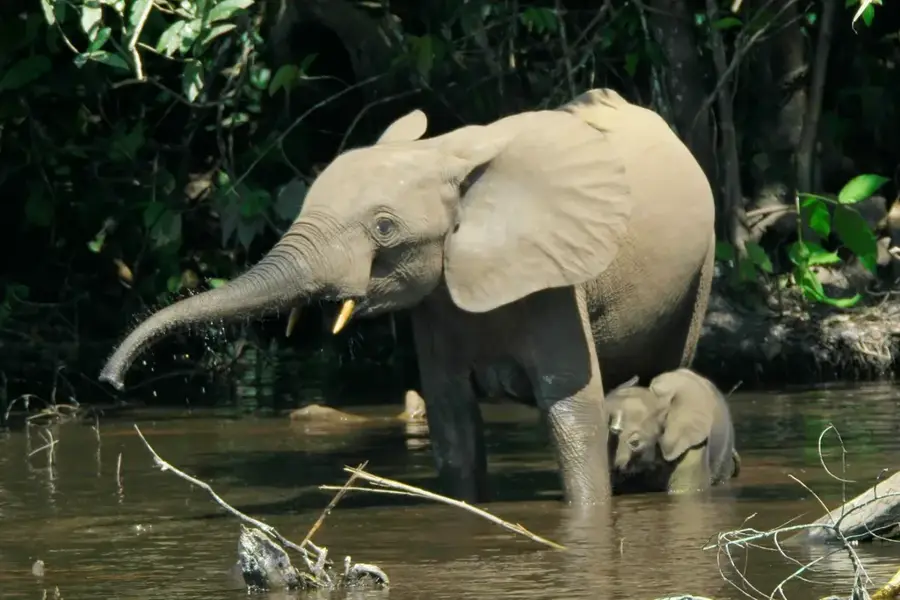
- The region is home to significant populations of western lowland gorillas.
- Timber exports from surrounding concessions are shipped via the Congo River.
- Lukolela serves as the administrative headquarters of the Lukolela District.
Explore nearby
Notable places around
Route planner — Car & Motorhome
Where do you start? We build the route here, with stops and country notes along the way.
© OpenStreetMap contributors · OpenRouteService
Frequently asked questions
Where is Lukolela located?
Is Lukolela developed for tourism?
How is the connection with the DRC?
What is the most important trade good?
Is there electricity in Lukolela?
Lukolela: where is it located?
Lukolela: when is the best time to visit?
Lukolela: why is it worth visiting?

Nearby cities


History & landmarks
Nature
More places