Plizio Visual Lab
Abala
ℹ️Practical info — Abala
▾
🌤 Weather — 5 days
📍 Nearby
Sights nearby
💡 Tips
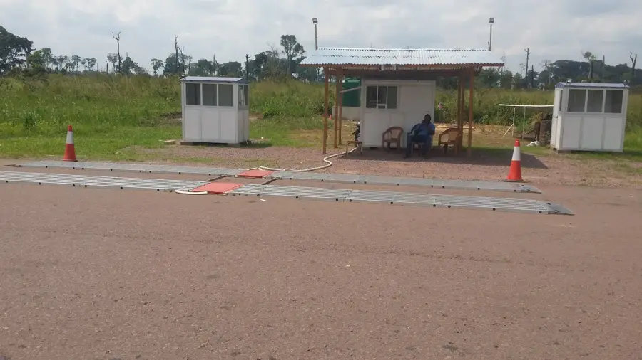
- Infrastructure is very basic; traveling with a 4x4 vehicle is highly recommended.
- Engage respectfully with local herders and farmers, and always ask before taking photos.
- Bring all essential supplies, including personal medicines and cash (CFA francs).
- A local guide is invaluable for navigating the area and translating.
🍽 Food
Sourced directly from local herds and grilled fresh at market stalls.
A traditional, hearty stew made from cassava leaves.
The classic staple dough, served alongside most meals at local eateries.
🛍 Shopping · 🧘 Quiet spots
Visit the village market for locally grown vegetables and crops.
Local blacksmiths and artisans sell rustic, practical tools.
Take in the expansive views over the savanna on the outskirts of town.
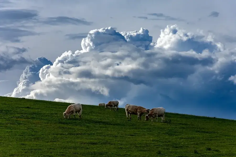
Quiet areas where you can observe the relaxed pace of local livestock farming.
Water temperature…
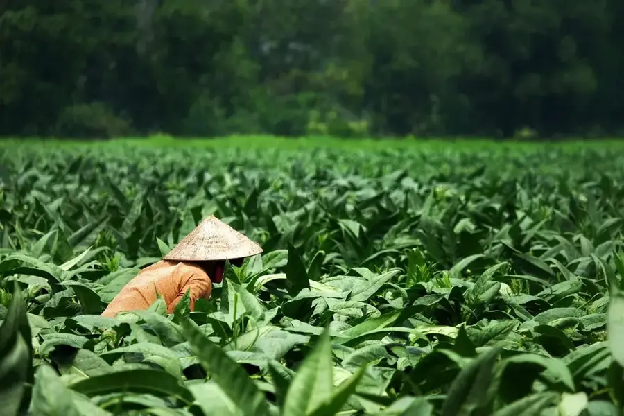
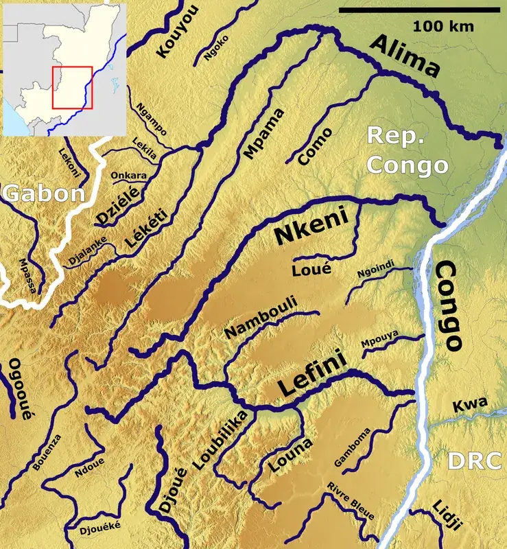
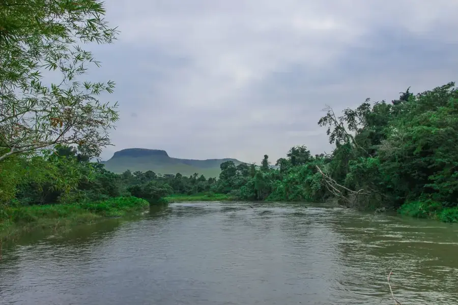
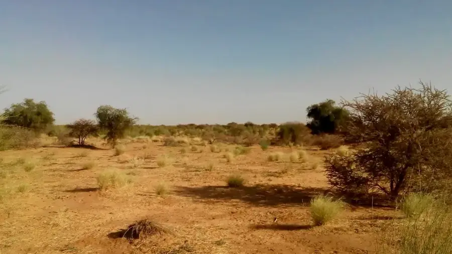
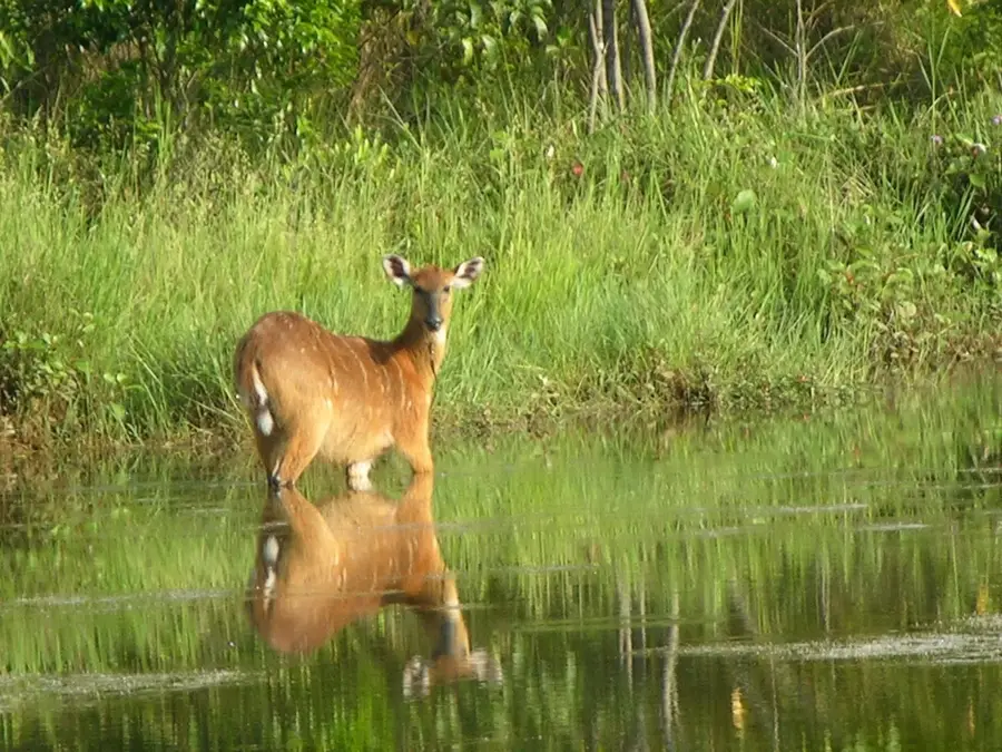
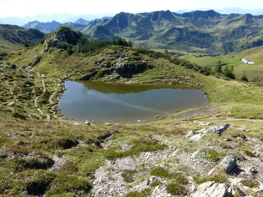
Abala is a remote small town located in the northern section of the Plateaux Department in the Republic of Congo, situated in a transition zone between the plateau landscape and the dense forests of the Cuvette. The town is geographically defined by undulating terrain intersected by numerous small streams that flow into the Alima basin. Abala serves as a local commercial center for surrounding communities, primarily facilitating the exchange of forest products and agricultural yields such as cassava and peanuts. In recent years, the settlement has gained international attention for hosting refugees from neighboring regions, which has introduced new challenges to the local infrastructure and social fabric. The area around Abala is known for its rich hunting traditions and the preservation of indigenous practices deeply embedded in local culture. Despite its relative isolation, the town plays an important role in administrative provision and security in this frontier zone between the plateaus and the north.
- Location: Congo - Brazzaville
- Nearby: Boundji (12 km)
Best time to visit & climate
The most pleasant time to visit is Jun–Aug.
| Jan | Feb | Mar | Apr | May | Jun | Jul | Aug | Sep | Oct | Nov | Dec | |
|---|---|---|---|---|---|---|---|---|---|---|---|---|
| Avg °C | 26 | 26 | 26 | 26 | 26 | 26 | 26 | 27 | 26 | 25 | 25 | 25 |
| Rain mm | 106 | 144 | 173 | 159 | 156 | 79 | 34 | 76 | 157 | 222 | 212 | 168 |
Geography
Facts
- Abala is the administrative seat of the Abala District in the Plateaux Department.
- The town is located roughly 130 kilometers northwest of the regional capital, Djambala.
- The area is known for hosting a significant refugee population from the DR Congo.
- Geographically, the region belongs to the Alima River drainage basin.
- Traditional slash-and-burn agriculture is the primary method of food production.
- Road connectivity to Abala is often compromised during the peak of the rainy season.
Explore nearby
Notable places around
Route planner — Car & Motorhome
Where do you start? We build the route here, with stops and country notes along the way.
© OpenStreetMap contributors · OpenRouteService
Frequently asked questions
Where is Abala located?
What is unique about Abala?
How is the infrastructure?
How do you get to Abala?
What should a traveler keep in mind?
Abala: where is it located?
Abala: when is the best time to visit?
Abala: why is it worth visiting?

Nearby cities
Nature
More places