Plizio Visual Lab
Tchikapika

ℹ️Practical info — Tchikapika
▾
🌤 Weather — 5 days
📍 Nearby
Sights nearby
💡 Tips
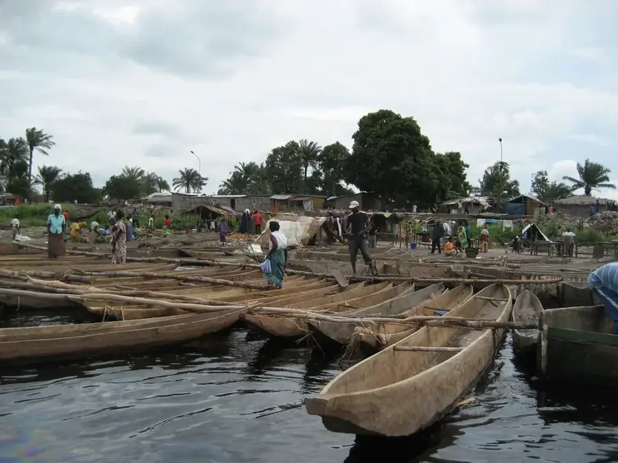
- River transport is common; always negotiate the fare before boarding a motorized pirogue.
- Malaria precautions are absolutely critical in this humid riverine environment.
- Electricity can be intermittent, so bringing a high-capacity power bank is highly recommended.
- Market days are the local social highlight; arrive early to see the freshest catch from the river.
🍽 Food
A large freshwater fish, often served grilled. Look for the casual eateries located right on the riverbank.
Fermented cassava bread wrapped in leaves, served as a filling side dish for local stews.
A very spicy chili sauce provided in small bowls with almost every fish dish in local maquis.
🛍 Shopping · 🧘 Quiet spots
A local staple that travels well. Buy it directly from the vendors near the boat pier.
A major trade product of the region, sold in large sacks at the local market.
Sit by the bank away from the main pier and peacefully watch the local boat traffic pass by.
Take a short walk out of the town center to see the quiet, agricultural side of the settlement.
Water temperature…
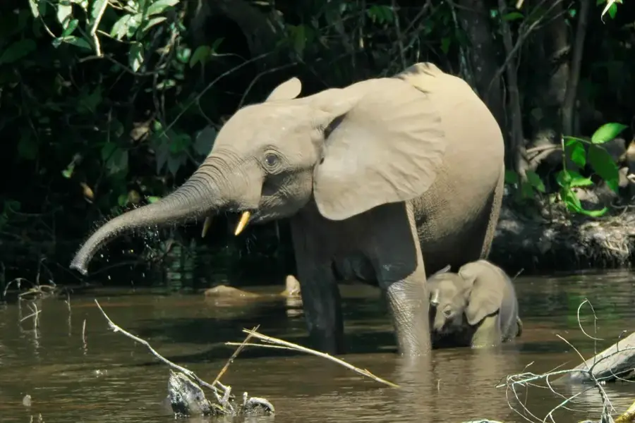
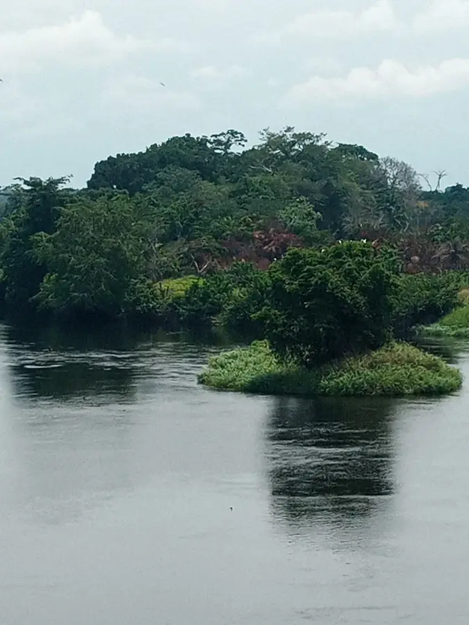
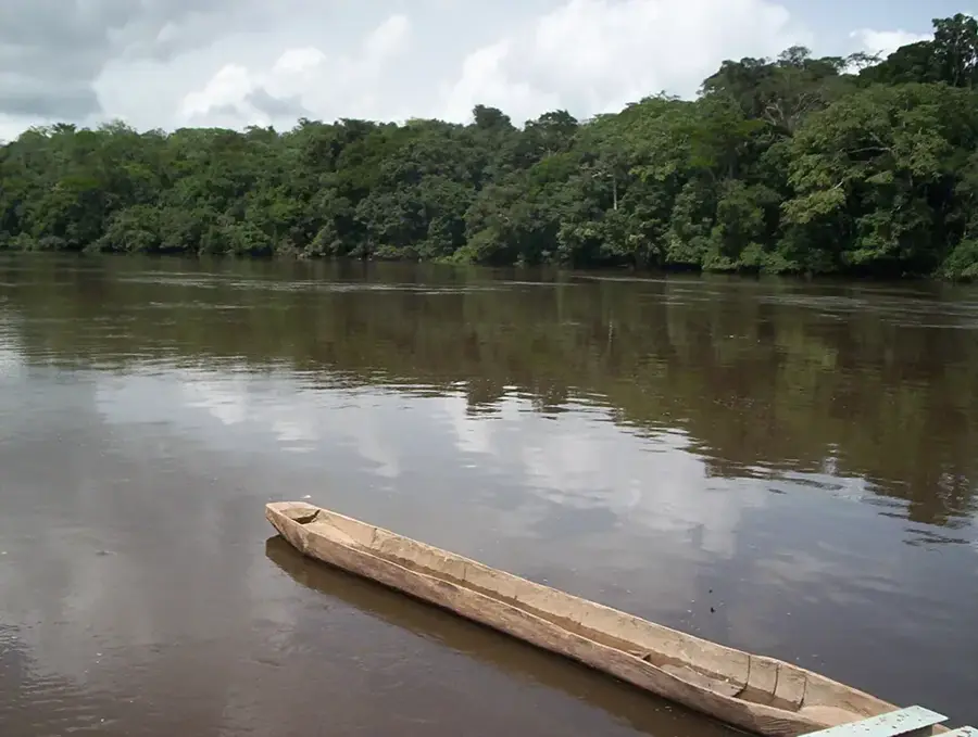
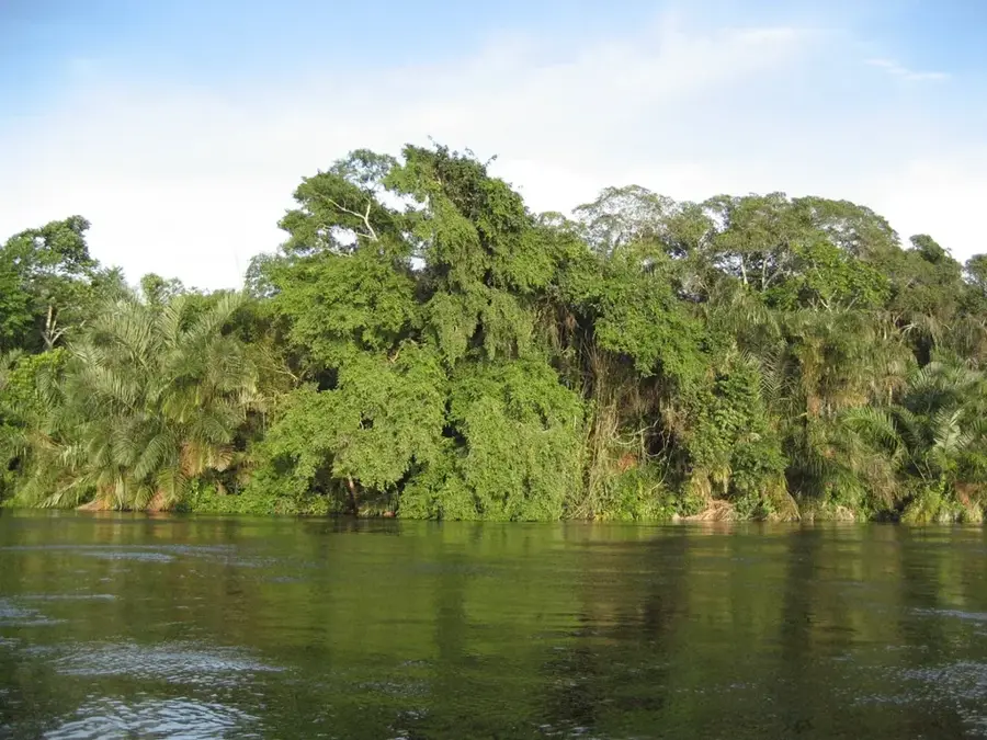
Tchikapika is located within the Tchikapika District of the Cuvette Department, in the central region of the Republic of the Congo. The area is part of the vast Cuvette Basin, a low-lying, frequently flooded depression drained by the Alima River and its tributaries. The town has grown in significance over recent decades, particularly through its administrative elevation and the development of local infrastructure projects. The surrounding landscape consists of a mosaic of swamp forests, savannas, and agricultural plots where cassava, maize, and peanuts are cultivated. Tchikapika is closely linked to the country's political history, as the Cuvette region is the ancestral home of many influential figures in Congolese politics. Local culture is defined by traditional fishing techniques and artisanal weaving, while the expansion of road links to Oyo and Owando has significantly improved regional mobility.
- Location: Congo - Brazzaville
- Nearby: Lukolela (41 km)
Best time to visit & climate
The most pleasant time to visit is Jan, Jun, Jul.
| Jan | Feb | Mar | Apr | May | Jun | Jul | Aug | Sep | Oct | Nov | Dec | |
|---|---|---|---|---|---|---|---|---|---|---|---|---|
| Avg °C | 26 | 26 | 26 | 26 | 26 | 26 | 27 | 27 | 26 | 25 | 25 | 25 |
| Rain mm | 93 | 135 | 164 | 153 | 150 | 87 | 41 | 83 | 173 | 223 | 200 | 157 |
Geography
Facts
- Tchikapika was elevated to the status of a district seat in 2011.
- The town is located south of the Equator in a tropical humid climate zone.
- The Alima River is navigable and connects the region to the Congo River.
- The region is renowned for the traditional mask dances of the Mbochi people.
- The average annual temperature remains constant at approximately 25 degrees Celsius.
- There is increasing investment in commercial livestock farming in the surrounding area.
Explore nearby
Notable places around
Route planner — Car & Motorhome
Where do you start? We build the route here, with stops and country notes along the way.
© OpenStreetMap contributors · OpenRouteService
Frequently asked questions
Where is Tchikapika located?
What is unique about the Cuvette region?
How can you reach Tchikapika?
What do people eat there?
What clothing is advisable?
Tchikapika: where is it located?
Tchikapika: when is the best time to visit?
Tchikapika: why is it worth visiting?

Nearby cities

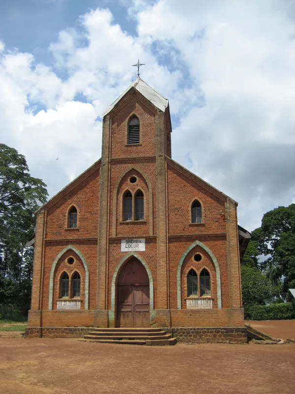
History & landmarks
Nature
More places