Plizio Visual Lab
Owando
ℹ️Practical info — Owando
▾
🌤 Weather — 5 days
📍 Nearby
Sights nearby
💡 Tips
- As the center of the Cuvette department, it has basic amenities, but power outages are still frequent; bring a power bank.
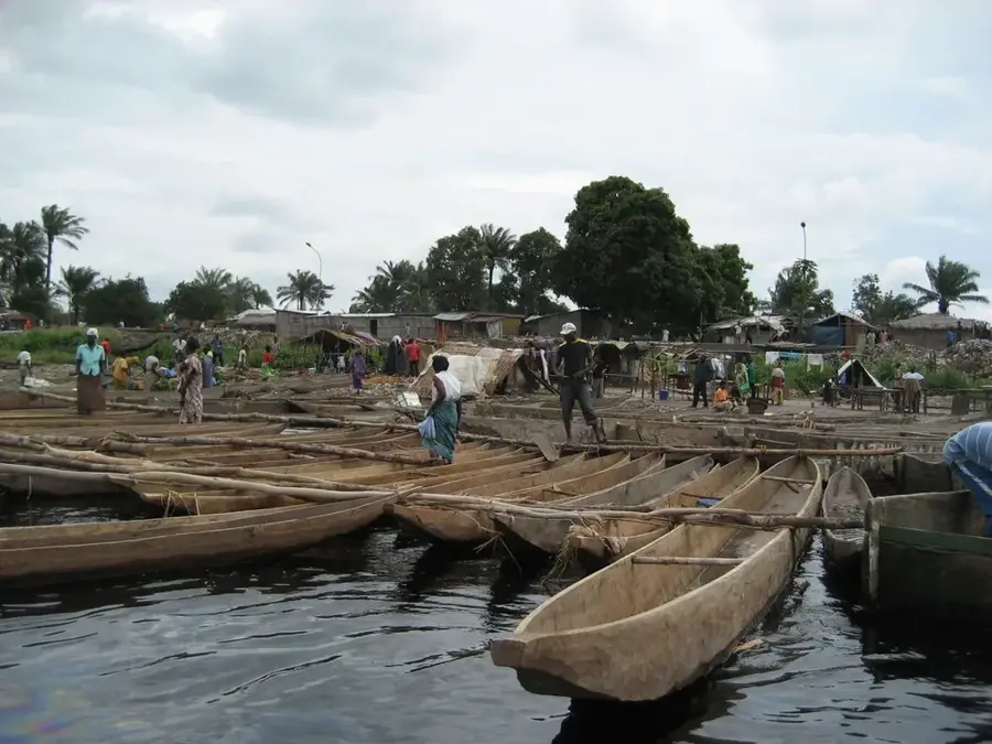
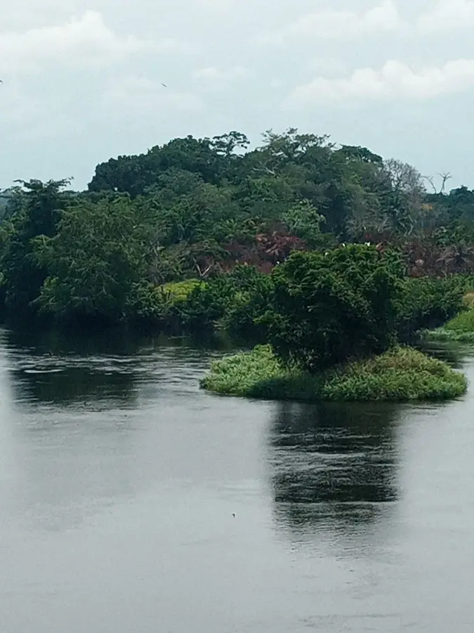
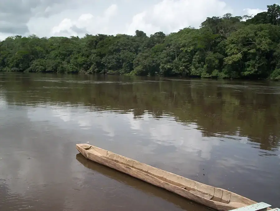
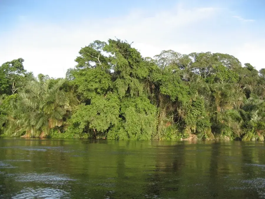
- The Kouyou River features beautiful views; ask your accommodation to arrange a safe local boat tour.
- Try to avoid traveling on local roads at night due to poor visibility and wildlife.
- Dress modestly and respectfully, particularly when visiting the town center and administrative areas.
🍽 Food
A savory dish made from crushed cassava leaves, commonly served at local buffets.
A staple river fish, often smoked or cooked in rich spicy broths.
Available locally, but strictly stick to farmed or legally hunted meats for ethical reasons.
🛍 Shopping · 🧘 Quiet spots
Great for browsing local vegetables, fruits, and basic textiles.
Look for hand-woven baskets and everyday traditional crafts.
A scenic spot to stand and look over the water, especially at dawn.
Surprisingly peaceful in the late afternoon for a slow walk.
Water temperature…
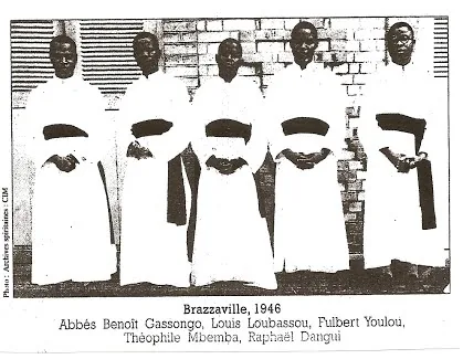
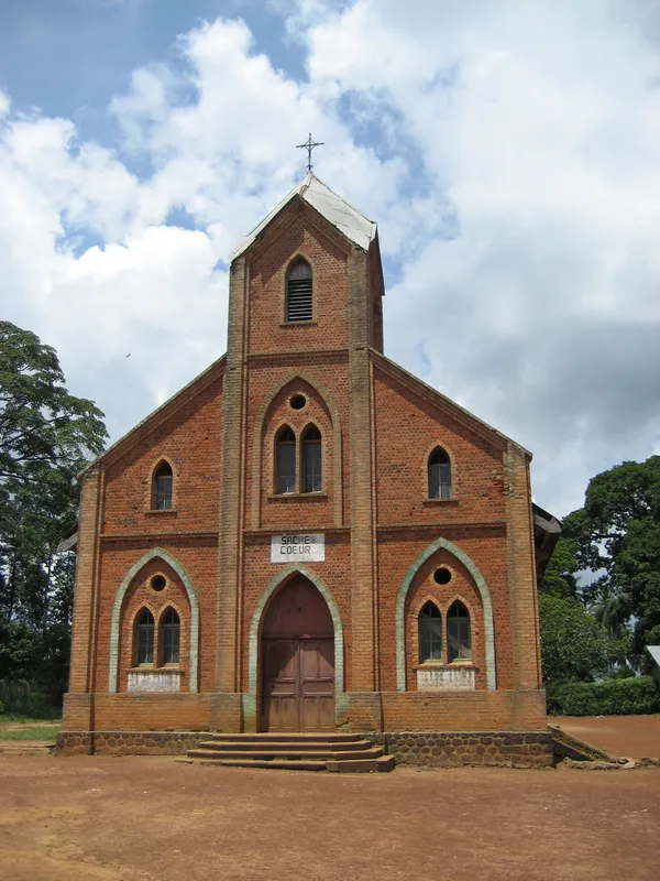
Owando is the capital of the Cuvette Department in the Republic of the Congo, situated on the banks of the Kouyou River. Founded in 1903 as Fort Rousset during the French colonial era, it was officially renamed Owando in 1977. The city serves as a primary administrative and commercial hub for the surrounding agricultural region, utilizing the river as a vital transport link for local products. With an estimated population of approximately 25,000 residents, it is the seat of a Roman Catholic diocese and features a regional airport connecting it to Brazzaville. Its central geographic location makes it a strategic transit point for trade between the northern regions and the southern economic centers. Recent infrastructural developments have enhanced the city's accessibility and its importance as a regional center for education, healthcare, and public administration in the Congo Basin.
- Location: Congo - Brazzaville
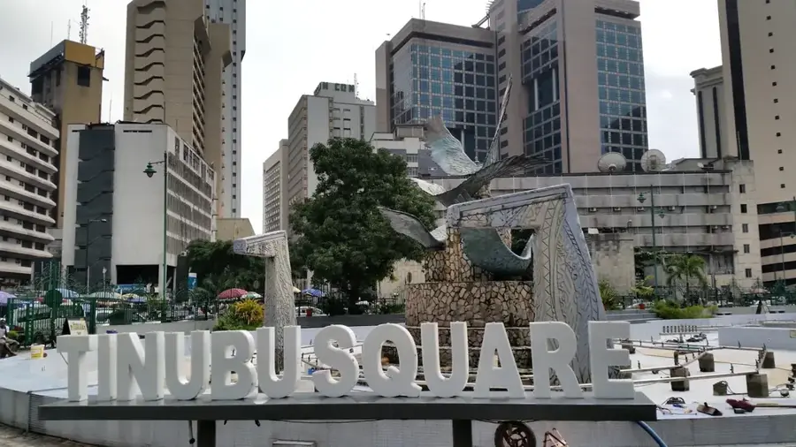
- Top sights: Archdiocese of Owando · Cuvette Department
- Nearby: Makoua (59 km)
- Population: ~35.698 (2026)
Best time to visit & climate
The most pleasant time to visit is Jan, Jun, Jul.
| Jan | Feb | Mar | Apr | May | Jun | Jul | Aug | Sep | Oct | Nov | Dec | |
|---|---|---|---|---|---|---|---|---|---|---|---|---|
| Avg °C | 26 | 26 | 26 | 26 | 26 | 26 | 27 | 27 | 26 | 25 | 25 | 25 |
| Rain mm | 93 | 135 | 164 | 153 | 150 | 87 | 41 | 83 | 173 | 223 | 200 | 157 |
Geography
Facts
- Founded in 1903 as Fort Rousset by French colonial authorities.
- The city was officially renamed Owando in the year 1977.
- Situated at an average elevation of approximately 325 meters.
- Seat of the Roman Catholic Diocese of Owando since 1977.
- Served by Owando Airport, which carries the IATA code FTX.
- Located roughly 510 kilometers north of the national capital, Brazzaville.
Explore nearby
Notable places around
Route planner — Car & Motorhome
Where do you start? We build the route here, with stops and country notes along the way.
© OpenStreetMap contributors · OpenRouteService
Sights in the town Owando (2)
Frequently asked questions
Where is Owando located?
What is the atmosphere like in Owando?
Is there an airport?
What is the main language spoken there?
What can you eat locally?
Owando: where is it located?
Owando: what is there to see?
Owando: when is the best time to visit?
Owando: why is it worth visiting?

Nearby cities

History & landmarks
Nature
More places