Plizio Visual Lab
Okoyo

ℹ️Practical info — Okoyo
▾
🌤 Weather — 5 days
📍 Nearby
Sights nearby
💡 Tips
- Carry sufficient cash in CFA francs, as ATMs and card payments are non-existent here.
- Travel during the dry season if possible; local dirt roads become very muddy and difficult to navigate after heavy rains.
- Basic French is essential, though knowing a few words in Lingala will be greatly appreciated by locals.
- Expect limited electricity and mobile coverage; download maps and travel info in advance.
🍽 Food
Find it at modest local eateries near the main road.
Available from vendors in the town center.
Often served grilled at small local stalls.
🛍 Shopping · 🧘 Quiet spots
For fresh regional produce and daily essentials.
Good for picking up snacks before continuing your journey.
Take a peaceful walk to see the surrounding lush greenery.
Usually the quietest spot in the center.
Water temperature…
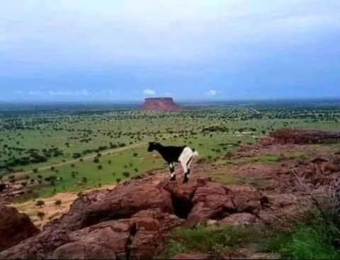
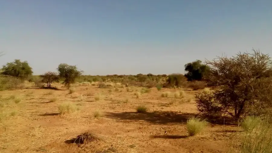
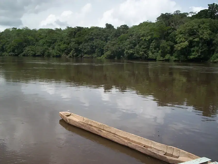
Okoyo is a historically significant town in the Cuvette-Ouest Department of the Republic of Congo, situated on the banks of the Alima River. The settlement long served as a crucial trading post and administrative center, linking the fertile western plains with the navigable waterways of the Congo Basin. Geographically, the surrounding region is characterized by a mosaic of savannas and gallery forests, supporting diverse agricultural activities including the cultivation of cassava and plantains. Okoyo played a strategic role during the colonial era as a key point for commodity logistics and Christian missionary activities in Central Africa. In the modern era, the town has gained economic momentum due to the expansion of the highway connecting Brazzaville to the northern provinces. Local culture is deeply rooted in the traditions of the Alima Valley, where the river continues to play an essential role in transportation and food security.
- Location: Congo - Brazzaville
- Nearby: Boundji (45 km)
Best time to visit & climate
The most pleasant time to visit is Jun–Aug.
| Jan | Feb | Mar | Apr | May | Jun | Jul | Aug | Sep | Oct | Nov | Dec | |
|---|---|---|---|---|---|---|---|---|---|---|---|---|
| Avg °C | 26 | 26 | 26 | 26 | 25 | 26 | 26 | 27 | 26 | 25 | 25 | 25 |
| Rain mm | 106 | 130 | 167 | 150 | 138 | 53 | 22 | 49 | 128 | 216 | 214 | 158 |
Geography
Facts
- Okoyo is situated approximately 60 kilometers east of Ewo on the Alima River.
- The town was a strategic base for the explorer Pierre Savorgnan de Brazza.
- It is located along the N2 national highway, a major north-south transit route.
- The Alima River is navigable from Okoyo downstream to its confluence with the Congo.
- The region is noted for its traditional pottery and indigenous weaving techniques.
- Okoyo serves as a significant service hub with a regional hospital and schools.
Explore nearby
Notable places around
Route planner — Car & Motorhome
Where do you start? We build the route here, with stops and country notes along the way.
© OpenStreetMap contributors · OpenRouteService
Frequently asked questions
Where is Okoyo located?
What is the main activity in Okoyo?
What is the weather like in Okoyo?
Are there connections to Gabon?
What is the typical architecture?
Okoyo: where is it located?
Okoyo: when is the best time to visit?
Okoyo: why is it worth visiting?

Nearby cities