Plizio Visual Lab
Cuvette Basin

Weather…
Water temperature…
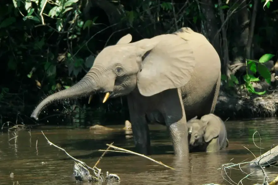
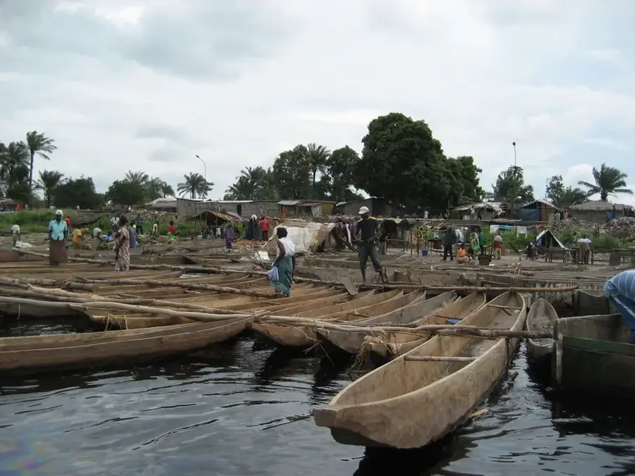
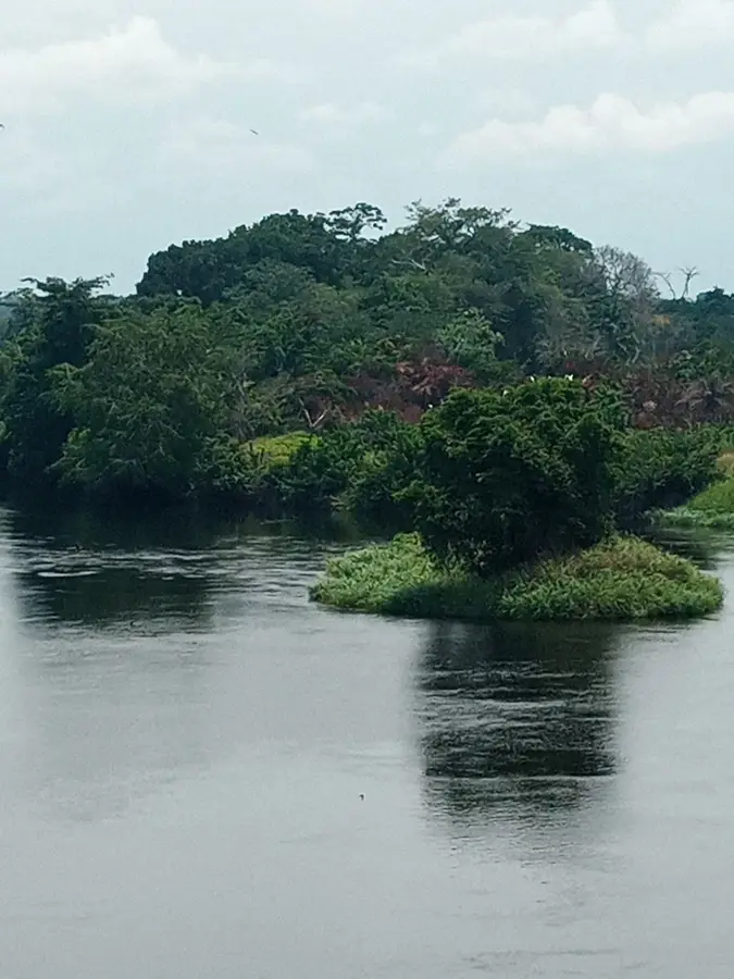
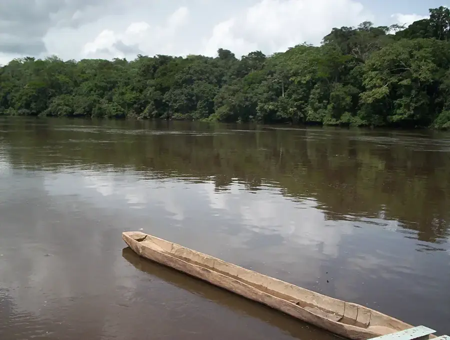
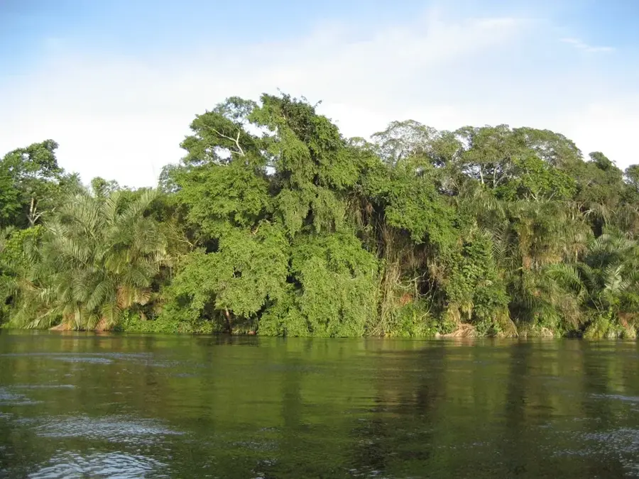
The Cuvette Basin is a massive geological depression spanning the central and northern parts of the Republic of the Congo, forming a core component of the broader Congo Basin. The region is characterized by its exceptionally flat topography and a dense network of meandering rivers such as the Sangha and Likouala. Nearly the entire basin is covered by pristine swamp forests and vast peatlands, which were recently identified as one of the world's largest terrestrial carbon sinks. Geologically, it is a sedimentary basin filled with thick layers of fluvial deposits dating from the Mesozoic and Cenozoic eras. The equatorial climate ensures year-round rainfall, leading to seasonal flooding that renders much of the area nearly inaccessible to humans. This natural isolation has allowed the region to remain a premier sanctuary for rare wildlife, supporting the highest global density of Western lowland gorillas. The Cuvette Basin plays a crucial role in global climate regulation and the hydrological balance of the African continent. Economically, the region is under scrutiny for potential oil reserves, though industrial development poses a severe threat to the ecologically sensitive peatlands.
- Location: Congo - Brazzaville
- Nearby: Makoua (43 km)
Best time to visit & climate
The most pleasant time to visit is Jan, Jun, Jul.
| Jan | Feb | Mar | Apr | May | Jun | Jul | Aug | Sep | Oct | Nov | Dec | |
|---|---|---|---|---|---|---|---|---|---|---|---|---|
| Avg °C | 26 | 26 | 26 | 26 | 26 | 26 | 26 | 26 | 25 | 25 | 25 | 25 |
| Rain mm | 78 | 127 | 169 | 148 | 153 | 107 | 59 | 112 | 200 | 233 | 197 | 144 |
📋 Practical info
Geography
Facts
- The basin covers an area of approximately 200,000 square kilometers.
- Its peatlands store an estimated 30 billion metric tons of carbon.
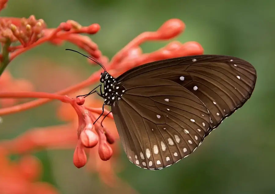
- The region is home to the world's largest population of Western lowland gorillas.
- The average elevation of the basin floor is only 300 to 400 meters.
- Annual rainfall in the region often exceeds 1,800 millimeters.
- The vast peatland system was only scientifically mapped as recently as 2017.
Explore nearby
Notable places around
Route planner — Car & Motorhome
Where do you start? We build the route here, with stops and country notes along the way.
© OpenStreetMap contributors · OpenRouteService
Sights nearby
Frequently asked questions
How can the basin be explored?
What animals live there?
Is the area malaria-prone?
Are there hotels?
When is the flood season?
Cuvette Basin: where is it located?
Cuvette Basin: when is the best time to visit?
Cuvette Basin: why is it worth visiting?

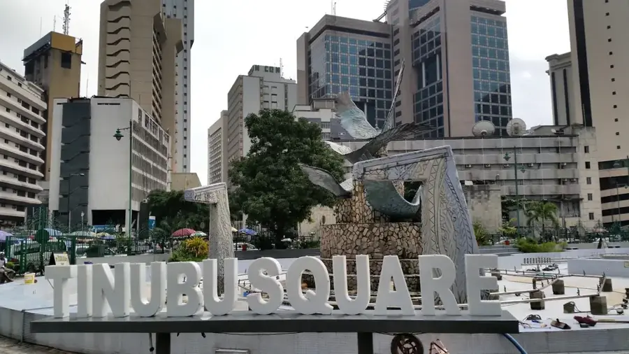
Nearby cities

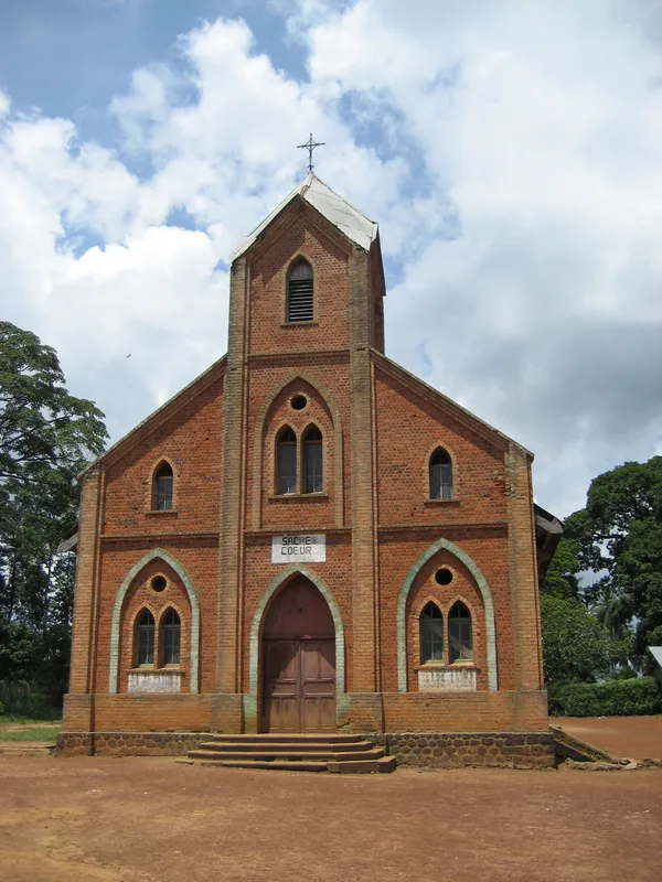
History & landmarks
Nature
More places