Plizio Visual Lab
Dangrek Mountains
Weather…
Water temperature…
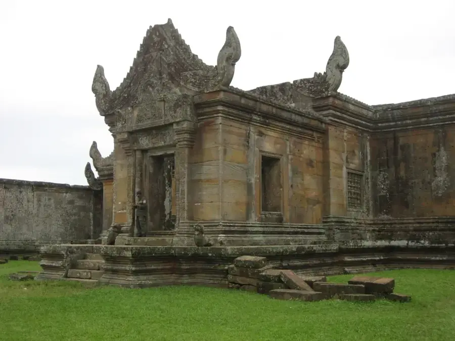
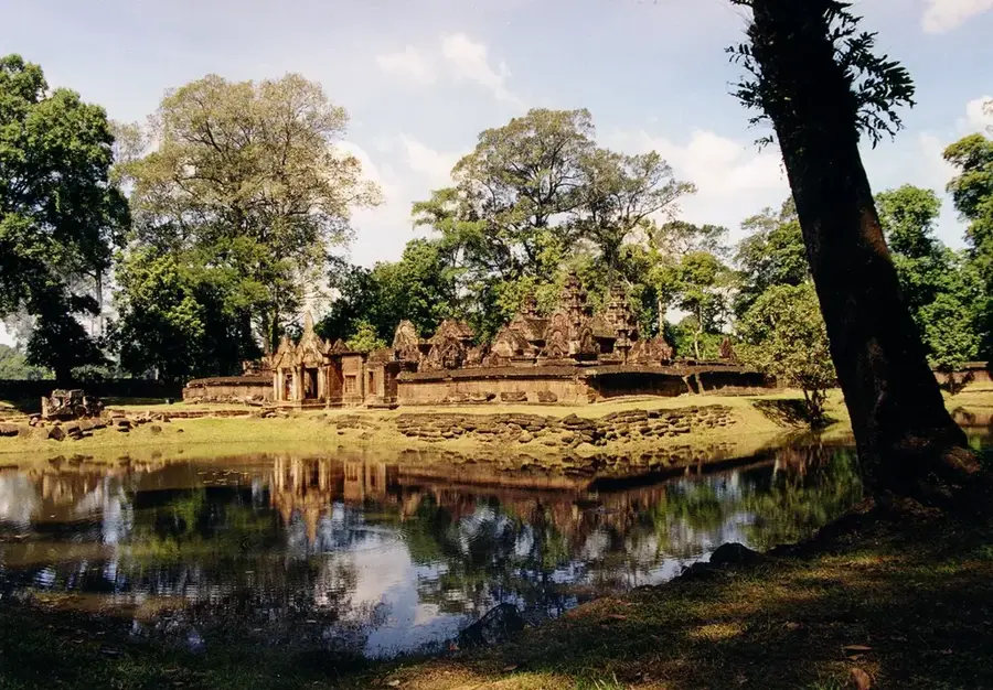
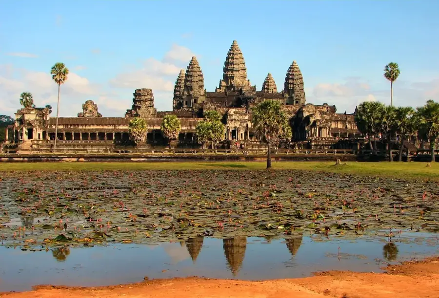
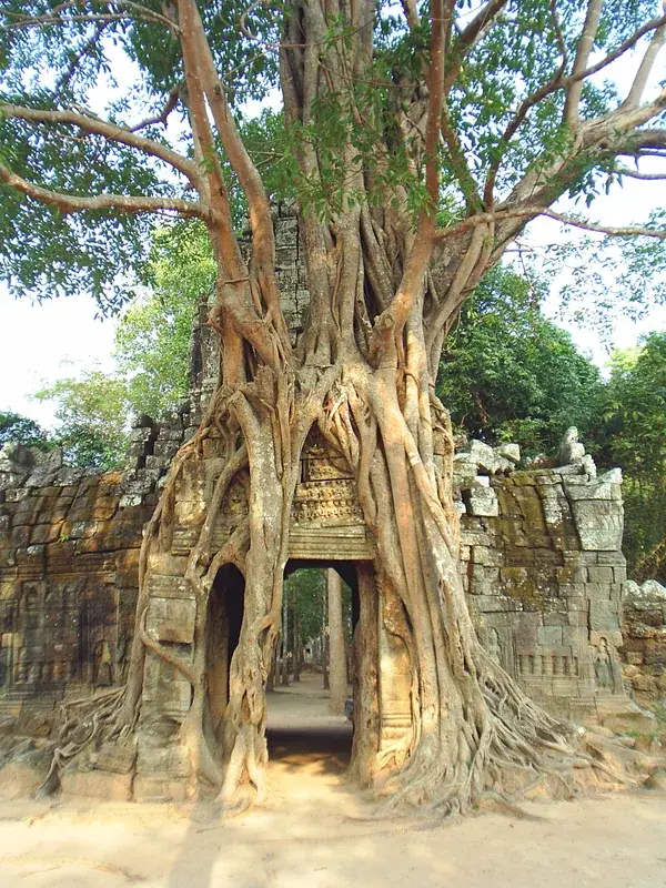
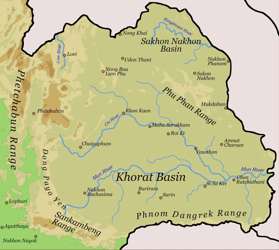
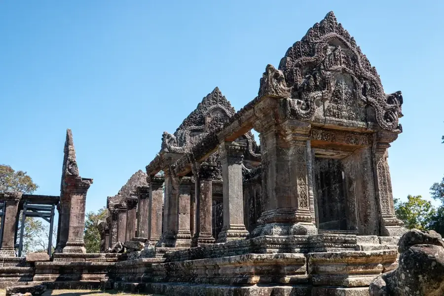
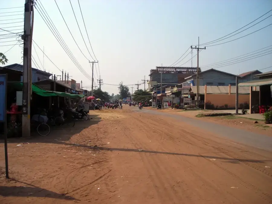
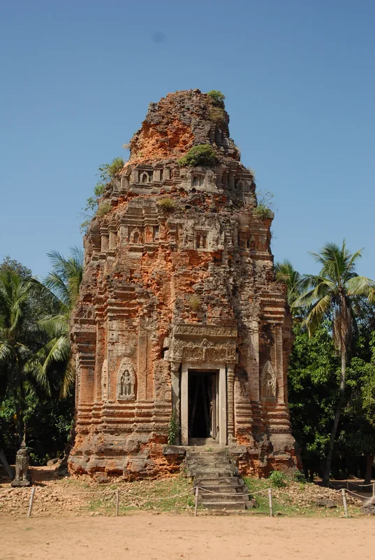
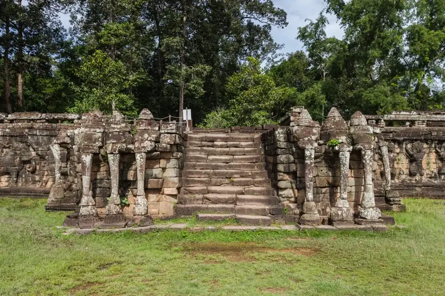
The Dangrek Mountains form a natural border between Cambodia and Thailand, stretching approximately 300 kilometers from west to east. Geographically, the range is characterized by a massive sandstone escarpment that drops steeply toward the south, providing expansive views over the Cambodian plains. The average elevation ranges between 300 and 500 meters, with several peaks exceeding 750 meters. The mountains are world-renowned for housing the Preah Vihear Temple, a UNESCO World Heritage site perched dramatically on a cliff edge. Historically, the region has been a focal point for territorial disputes, but today it increasingly serves as a symbol of cultural heritage and international tourism. The vegetation consists mainly of dry deciduous forests adapted to the distinct seasonal rainfall patterns of the area. For the local people, the mountains hold significant spiritual importance, often associated with ancient legends and religious sites. The conservation of these archaeological locations and the surrounding natural landscape is a high priority for both neighboring countries.
- Location: Cambodia
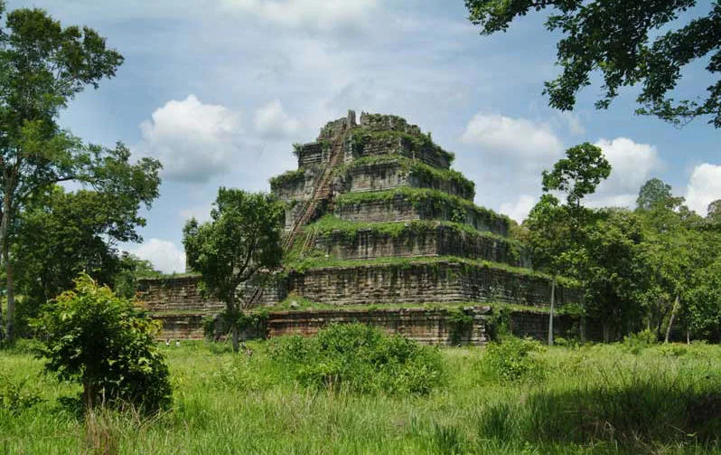
- Top sights: Pol Pot Secret House · Ta Mok Pass 808 Guardhouse · Son Sen Crematation Site
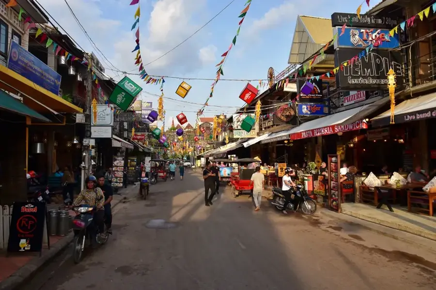
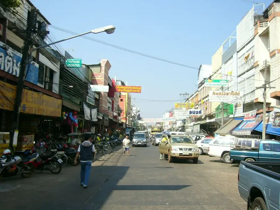
- Nearby: Siem Reap (30 km)
Best time to visit & climate
The most pleasant time to visit is Jan, Nov, Dec.
| Jan | Feb | Mar | Apr | May | Jun | Jul | Aug | Sep | Oct | Nov | Dec | |
|---|---|---|---|---|---|---|---|---|---|---|---|---|
| Avg °C | 26 | 28 | 30 | 31 | 29 | 27 | 27 | 26 | 26 | 26 | 25 | 24 |
| Rain mm | 7 | 10 | 43 | 75 | 170 | 173 | 223 | 243 | 273 | 120 | 26 | 4 |
📋 Practical info
Geography
Facts
- The range forms the 300 km long natural border with Thailand.
- The famous Preah Vihear Temple (UNESCO) is located on a 525m high peak.
- Geologically, the mountains are predominantly composed of massive sandstone.
- Some peaks in the region reach elevations of over 750 meters.
- The southern slope often drops vertically for hundreds of meters into the plain.
- Historically, the region was a major base for the Khmer Rouge during conflicts.
Explore nearby
Notable places around
Route planner — Car & Motorhome
Where do you start? We build the route here, with stops and country notes along the way.
© OpenStreetMap contributors · OpenRouteService
Sights in the town Dangrek Mountains (4)
Sights nearby
Frequently asked questions
Where exactly are the Dangrek Mountains located?
Which temple is located there?
What is the topography like?
Is there a danger of mines?
Can you cross the border there?
Dangrek Mountains: where is it located?
Dangrek Mountains: what is there to see?
Dangrek Mountains: when is the best time to visit?
Dangrek Mountains: why is it worth visiting?

Nearby cities
History & landmarks
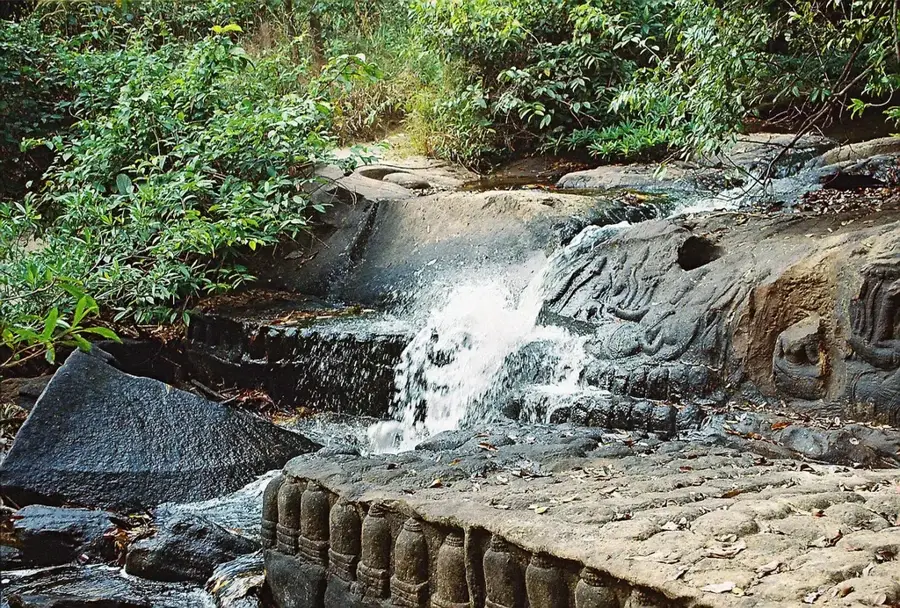
Nature
More places