Plizio Visual Lab
Cardamom Mountains
Weather…
Water temperature…
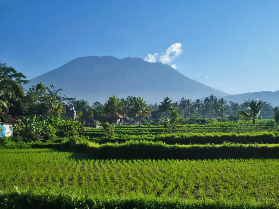
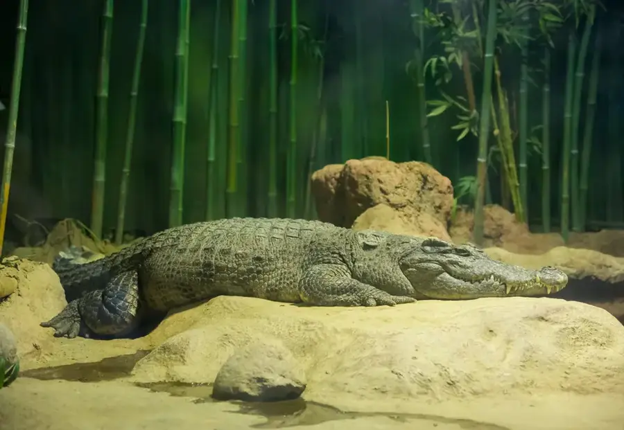
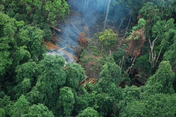
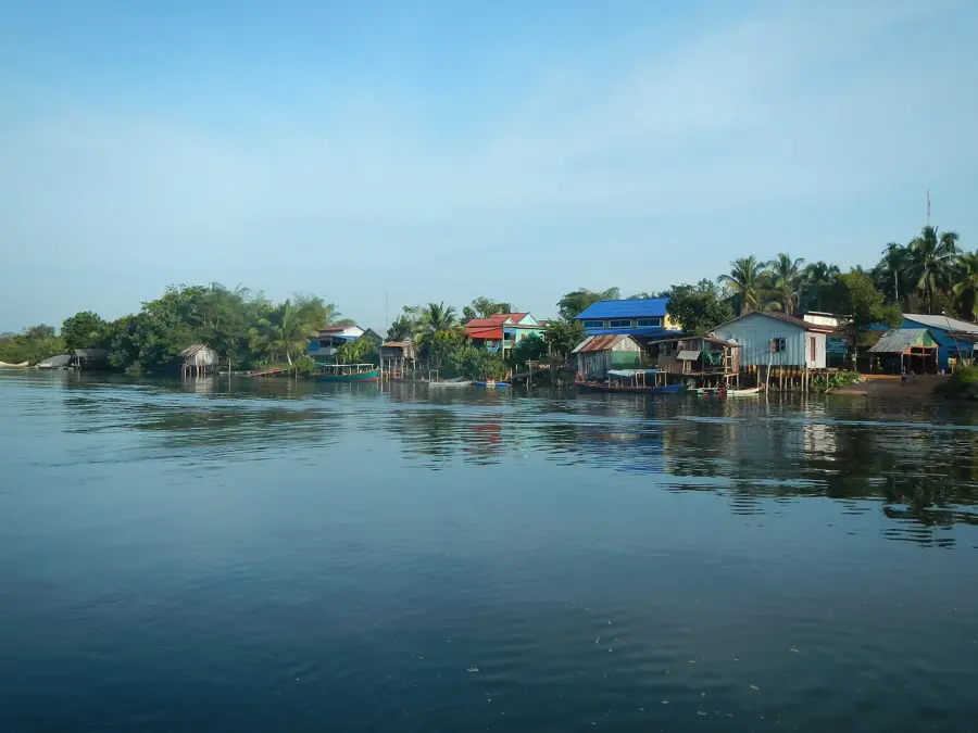
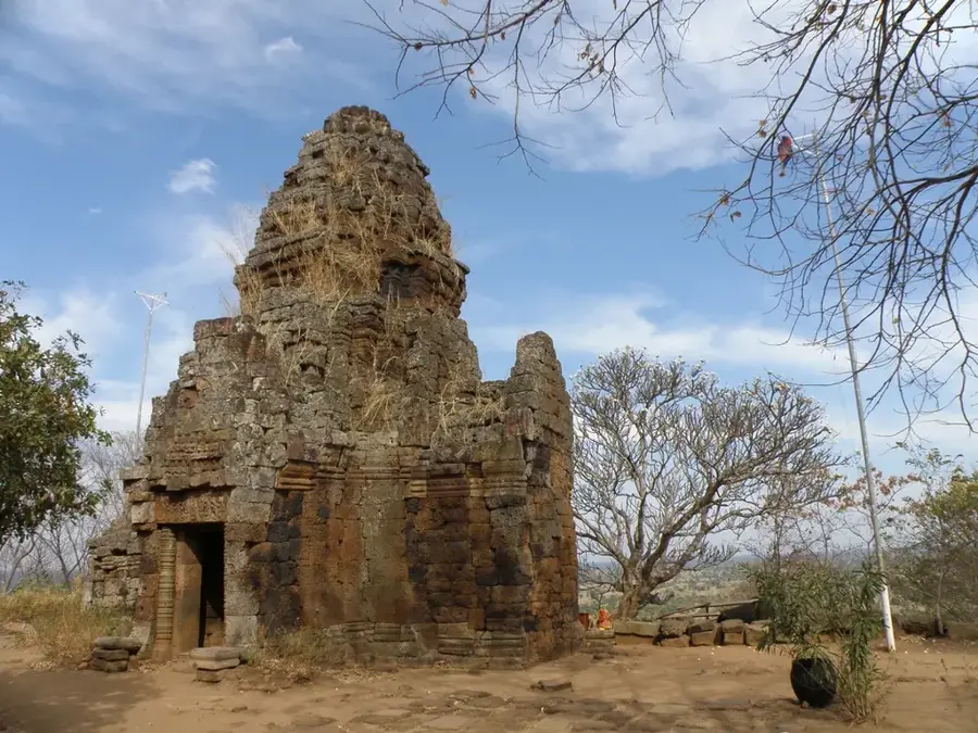
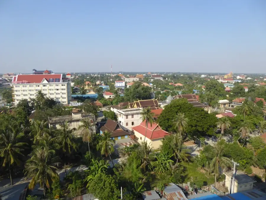
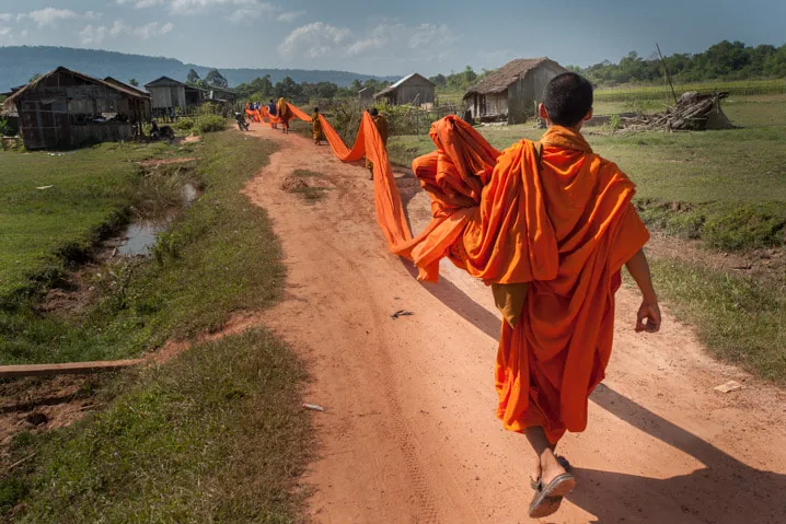
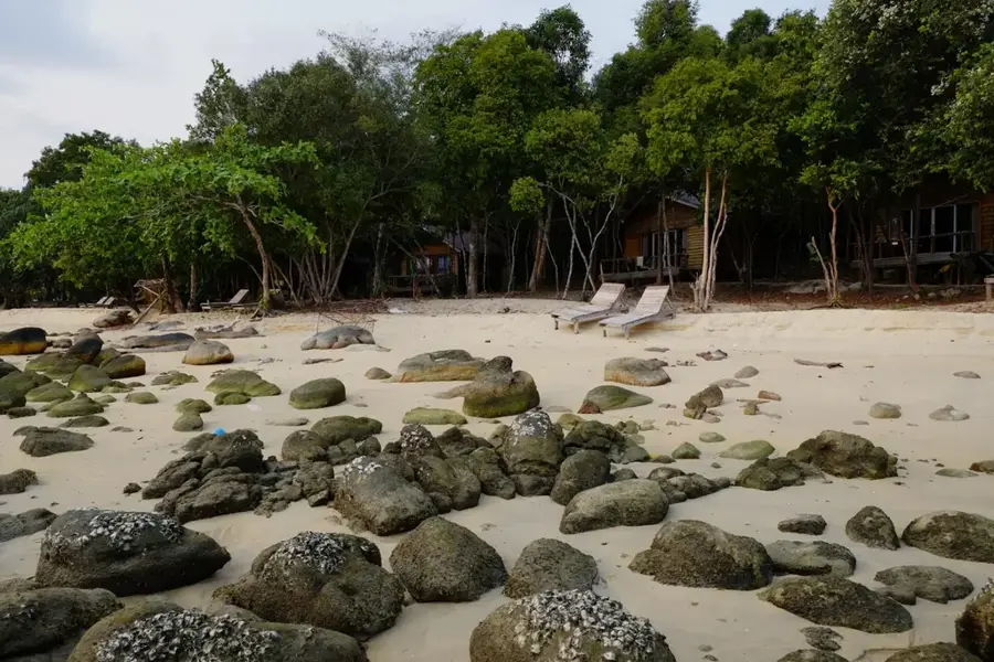
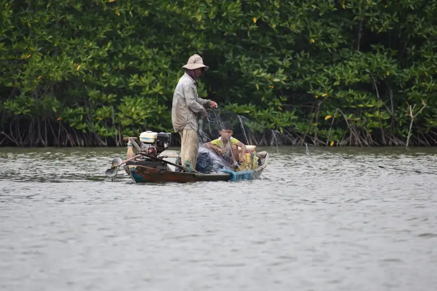
The Cardamom Mountains, known locally as Chuor Phnom Kravanh, span across southwestern Cambodia and represent one of Southeast Asia's largest remaining rainforest corridors. This mountain range is a global biodiversity hotspot, providing a critical sanctuary for endangered species such as the Asian elephant, clouded leopard, and the Siamese crocodile. It contains the country's highest peak, Phnom Aural, which rises to 1,813 meters above sea level. Geographically, the area is defined by dense primary forests, deep valleys, and numerous remote waterfalls that remained largely unexplored for decades due to their rugged terrain. Historically, the mountains served as a final stronghold during Cambodia's civil conflicts, leaving a legacy of landmines that hindered development but inadvertently protected the wilderness. Today, the region is a major focus for international conservation groups working to prevent deforestation from illegal logging and land encroachment. Sustainable ecotourism initiatives are being developed to provide local communities with alternatives to poaching and forest clearing.
- Location: Cambodia
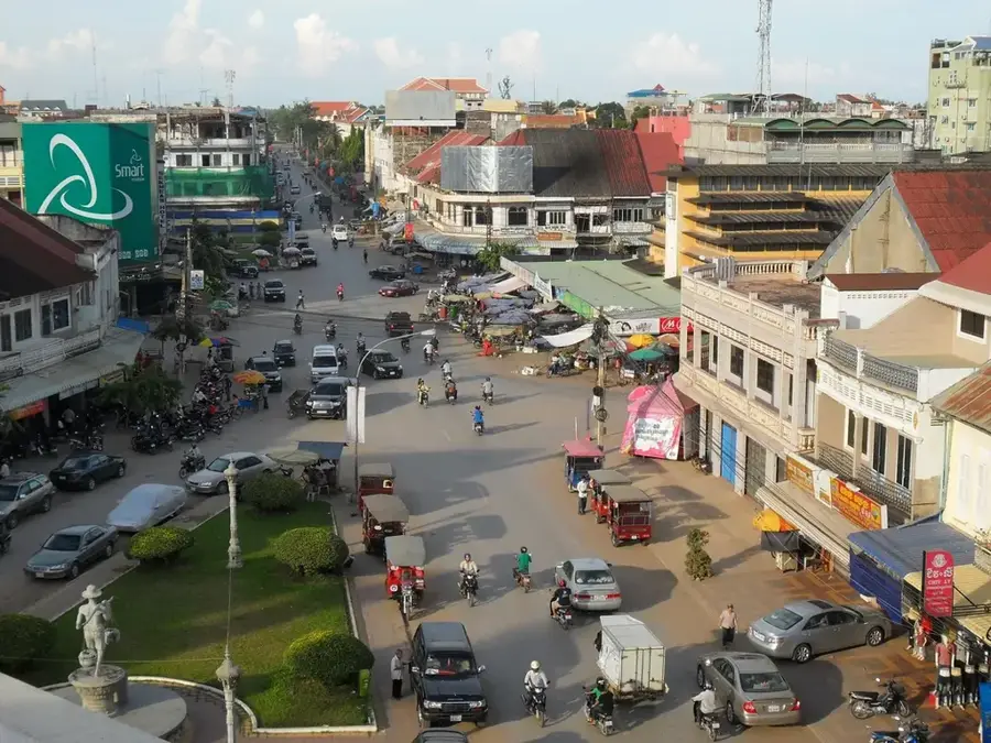
- Nearby: Tatai (24 km)
Best time to visit & climate
The most pleasant time to visit is Jan, Feb, Dec.
| Jan | Feb | Mar | Apr | May | Jun | Jul | Aug | Sep | Oct | Nov | Dec | |
|---|---|---|---|---|---|---|---|---|---|---|---|---|
| Avg °C | 24 | 25 | 27 | 27 | 26 | 25 | 25 | 25 | 25 | 24 | 24 | 23 |
| Rain mm | 29 | 39 | 84 | 122 | 252 | 407 | 486 | 430 | 424 | 225 | 74 | 23 |
📋 Practical info
Geography
Facts
- Phnom Aural is Cambodia's highest point at 1,813 meters elevation.
- The range covers one of the largest rainforest areas in Southeast Asia.
- Over 25 globally threatened vertebrate species reside in the range.
- Annual rainfall in the region can reach up to 5,000 mm.
- The mountains span across an area of approximately 4.4 million hectares.
- Ten previously unknown plant species were discovered here in 2011.
Explore nearby
Notable places around
Route planner — Car & Motorhome
Where do you start? We build the route here, with stops and country notes along the way.
© OpenStreetMap contributors · OpenRouteService
Sights nearby
Frequently asked questions
What can you do in the Cardamom Mountains?
Are there dangerous animals?
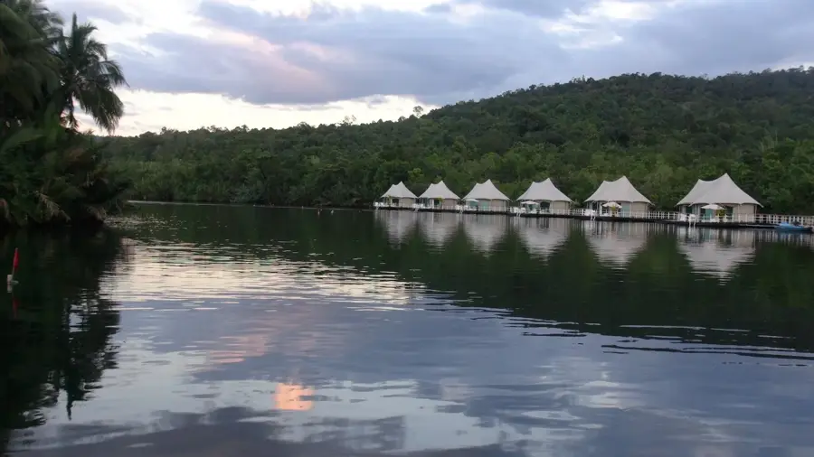
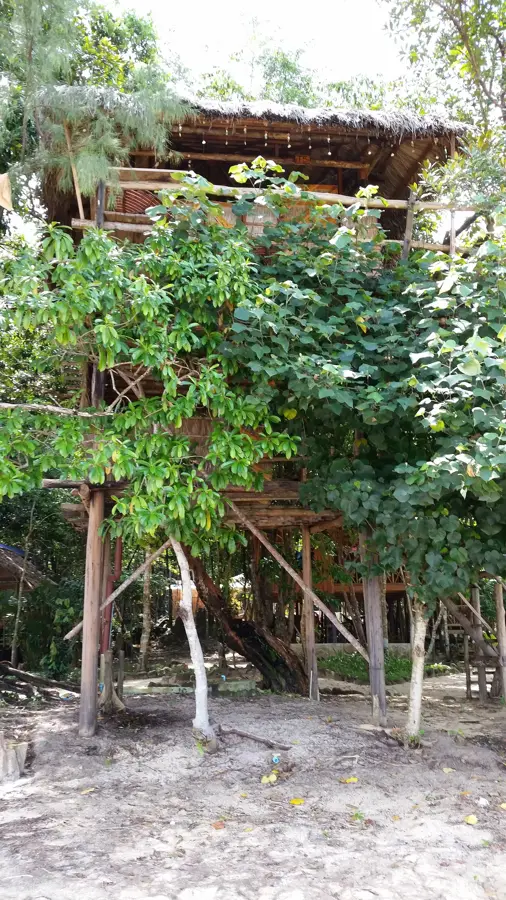
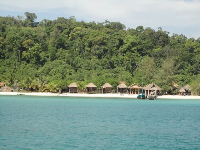
What is the accommodation situation like?
When is the best time for hiking?
Is the region malaria-free?
Cardamom Mountains: where is it located?
Cardamom Mountains: when is the best time to visit?
Cardamom Mountains: why is it worth visiting?

Nearby cities


History & landmarks
Nature
More places