Plizio Visual Lab
Makamba
ℹ️Practical info — Makamba
▾
🌤 Weather — 5 days
📍 Nearby
Sights nearby
💡 Tips
- Tanzanian shillings are often accepted alongside Burundian francs due to cross-border trade.
- If heading to the Mabanda border crossing, find early morning transport at the main park.
- Expect a noticeably warmer climate here compared to the central plateau regions.
- Try to learn a few words of Swahili; it is widely spoken in this southern hub.
- Stock up on water before taking long minibus rides towards the border.
🍽 Food
A Tanzanian-influenced staple best found in small local joints near the taxi park.
Enjoy tasty roasted meats from street vendors that set up in the evenings.
Buy sweet, juicy mangoes directly from street sellers during the warm harvest season.
🛍 Shopping · 🧘 Quiet spots
The central market has animated cross-border fabrics with intricate patterns.
Find spices heavily influenced by East African trade routes at local stalls.
Walk just outside the urban area to wander through the characteristic palm plantations.
Take the dirt paths ascending the nearby hills for a peaceful view of the borderlands.
Water temperature…
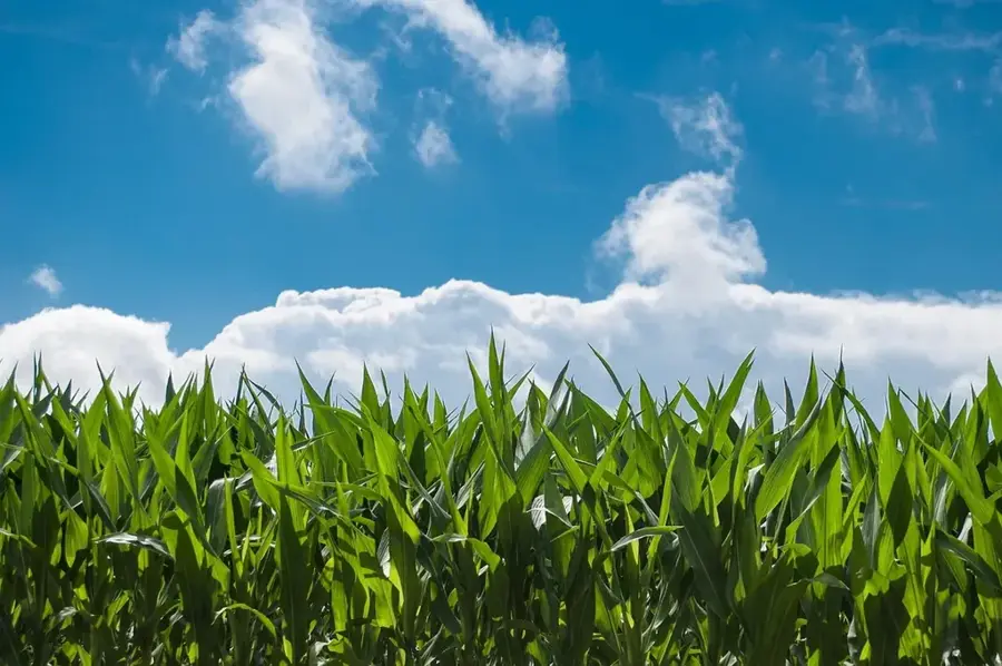
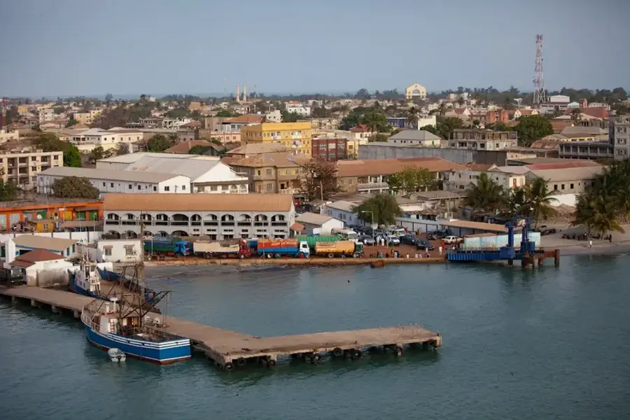
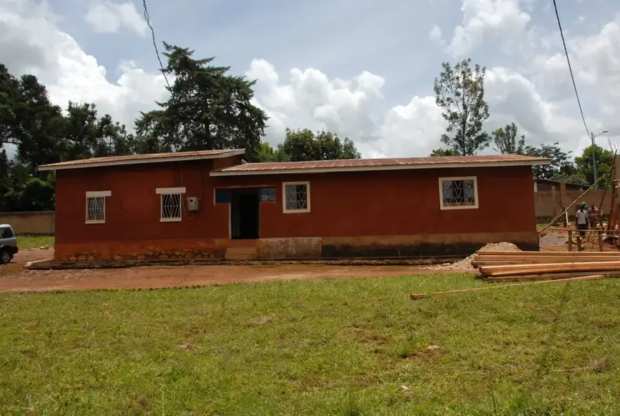
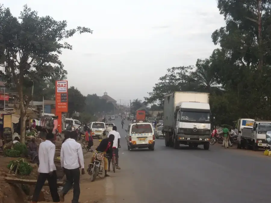
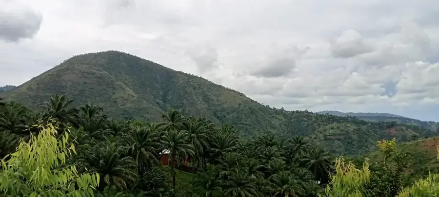
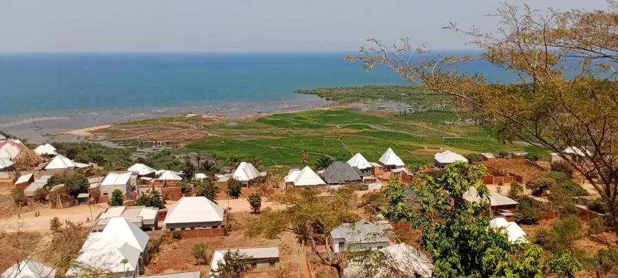
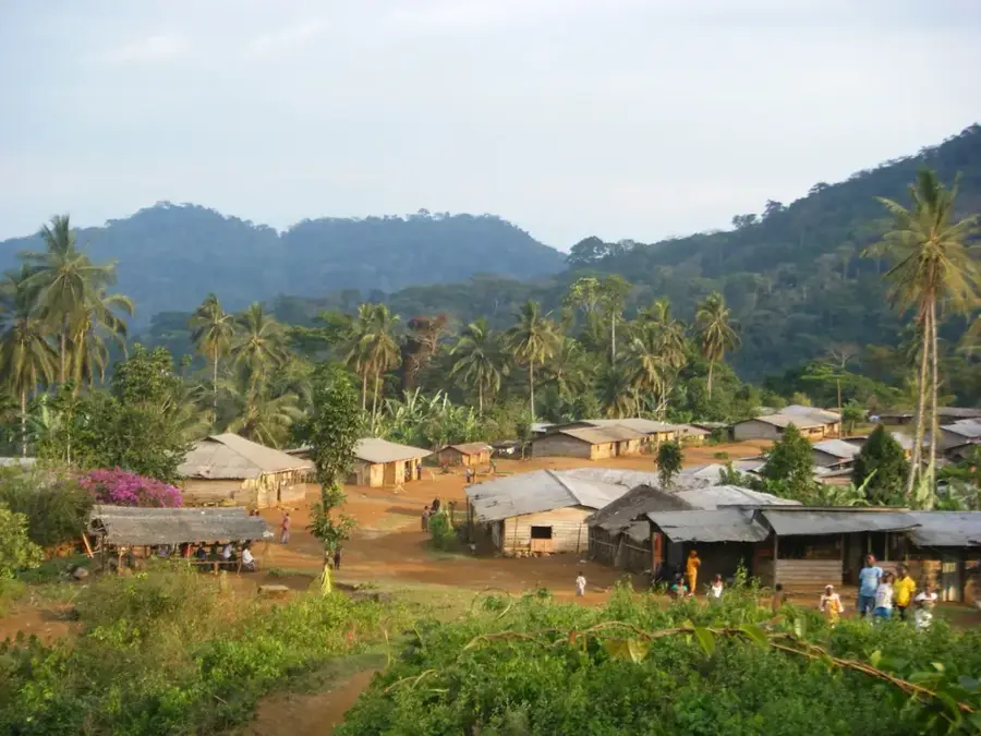
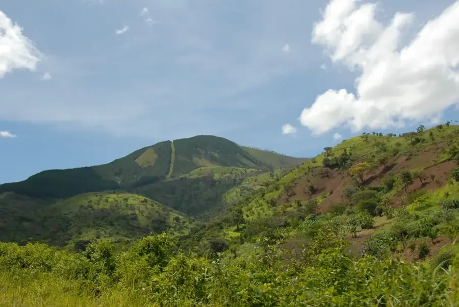
Makamba is the southernmost provincial capital of Burundi, situated in a strategically vital region near the border with Tanzania. The town is located at an elevation of approximately 1,450 meters and serves as a major commercial and transport hub for goods moving between the port of Dar es Salaam and the Burundian interior. The surroundings of Makamba are characterized by fertile hilly terrain where palm oil, coffee, and tobacco are primarily cultivated. Due to its proximity to Lake Tanganyika, the fish trade also plays a role in the local economy. Historically, the region has often been a sanctuary for returnees, leading to a dynamic and diverse population structure. In recent decades, Makamba has evolved into a modern administrative center featuring a growing infrastructure of schools, hospitals, and markets that serve the entire southern region.
- Location: Burundi
- Nearby: Rutovu (21 km)
- Population: ~14.539 (2026)
Best time to visit & climate
The most pleasant time to visit is Jun–Aug.
| Jan | Feb | Mar | Apr | May | Jun | Jul | Aug | Sep | Oct | Nov | Dec | |
|---|---|---|---|---|---|---|---|---|---|---|---|---|
| Avg °C | 21 | 21 | 21 | 21 | 20 | 19 | 19 | 21 | 23 | 22 | 21 | 21 |
| Rain mm | 178 | 137 | 169 | 150 | 59 | 9 | 6 | 13 | 26 | 76 | 209 | 177 |
Geography
Facts
- Makamba is the administrative center of Burundi's southernmost province.
- The town is situated at an elevation of about 1,470 meters.
- It serves as a key transit point for trade with Tanzania.
- The region produces significant quantities of palm oil.
- Makamba Province has one of the highest rates of refugee returnees.
- The town hosts a major regional hospital facility.
Explore nearby
Notable places around
Route planner — Car & Motorhome
Where do you start? We build the route here, with stops and country notes along the way.
© OpenStreetMap contributors · OpenRouteService
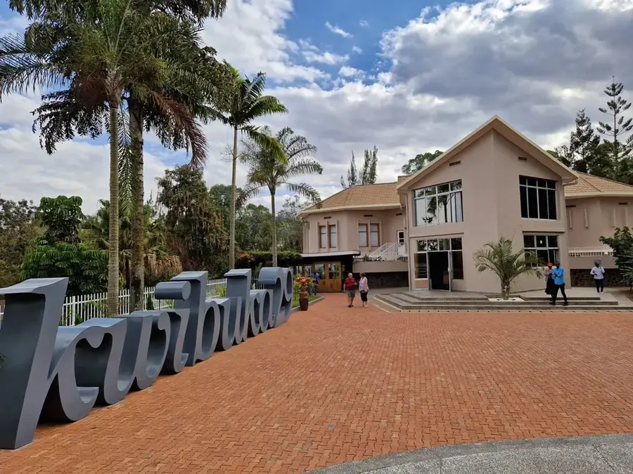
Sights in the town Makamba (1)
Frequently asked questions
Where is Makamba located?
What is grown in the region?
Are there any attractions in Makamba?
How safe is it to travel to Makamba?
Is there public transport?
Makamba: where is it located?
Makamba: when is the best time to visit?
Makamba: why is it worth visiting?

Nearby cities


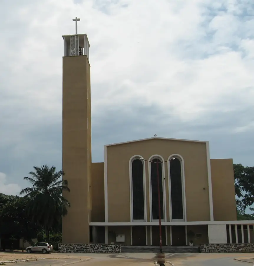
History & landmarks

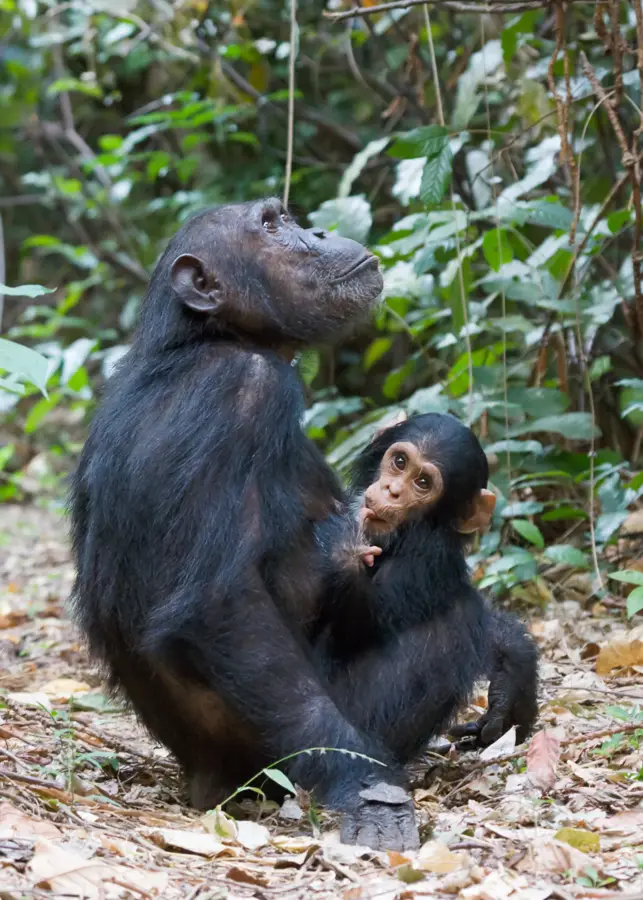
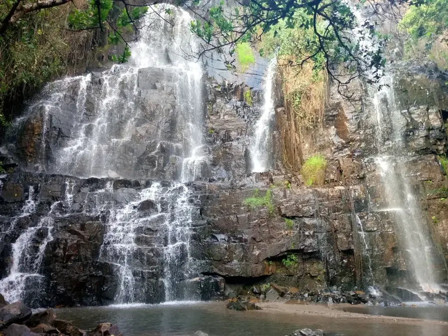
Nature
More places