Plizio Visual Lab
Nile-Congo Crest
Weather…
Water temperature…
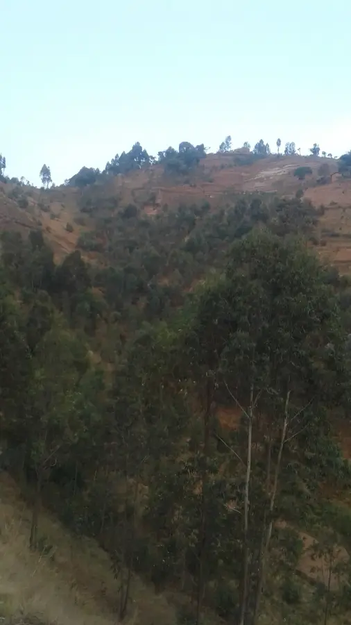
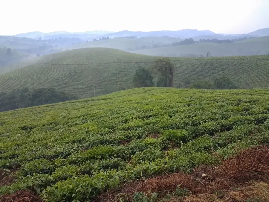
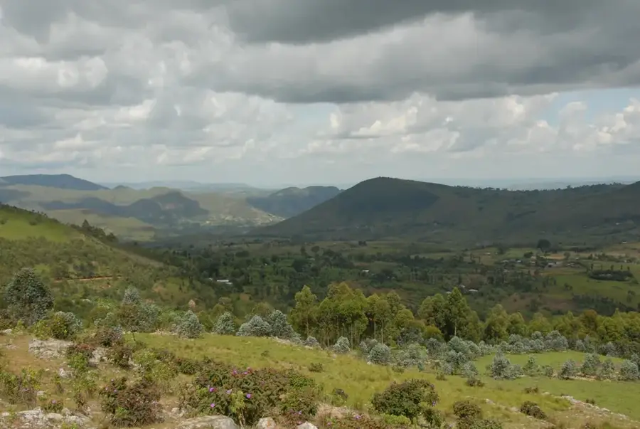
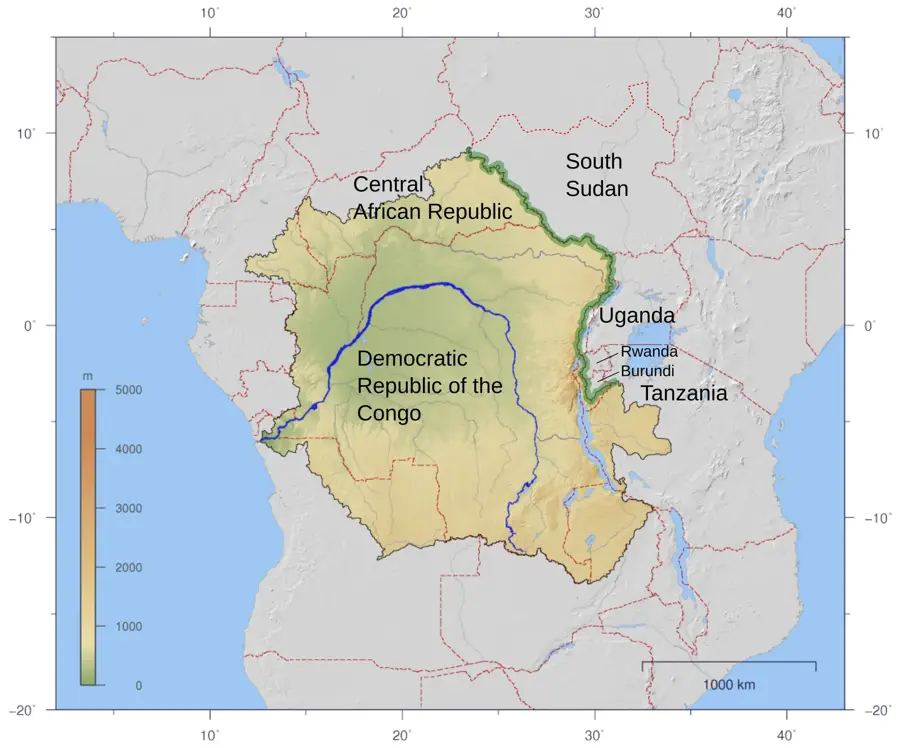
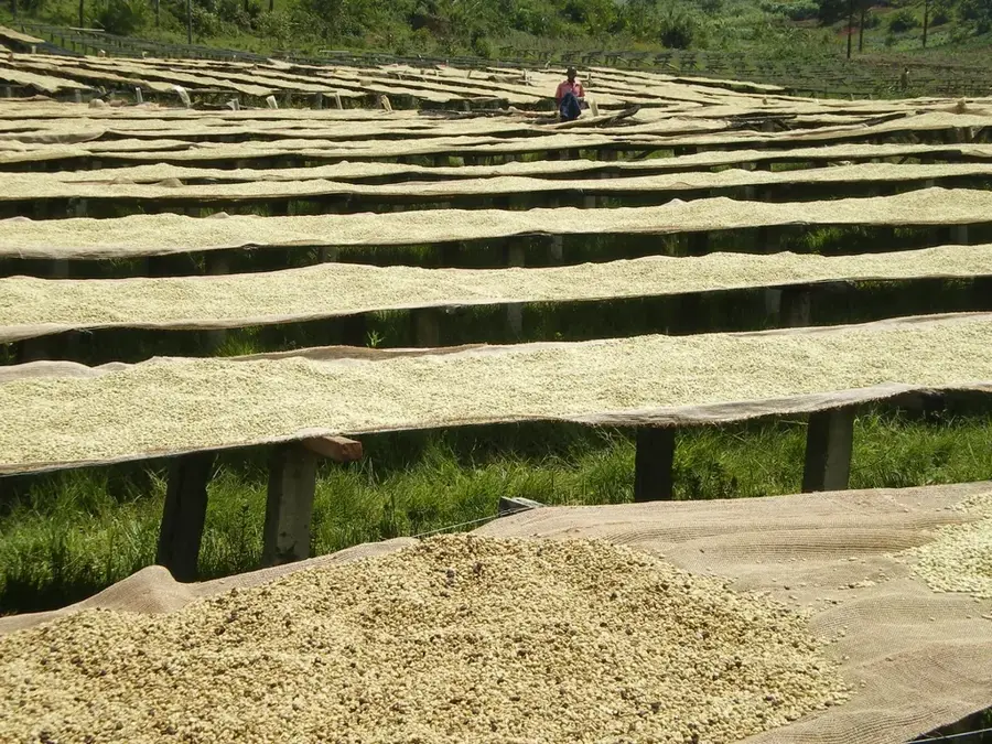
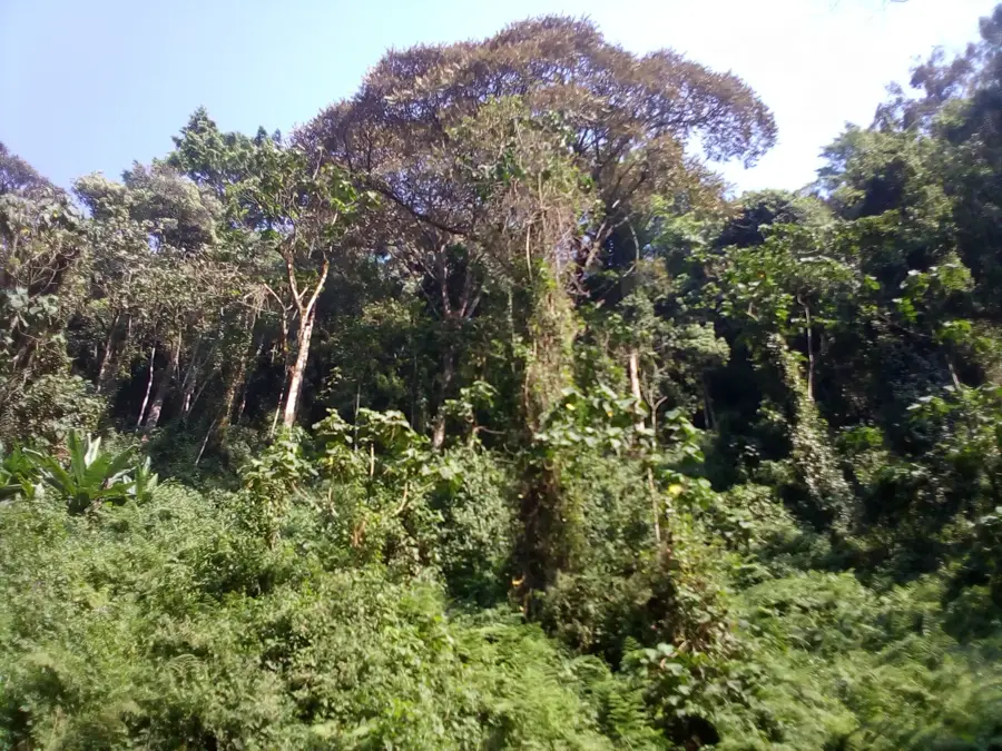
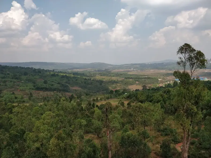
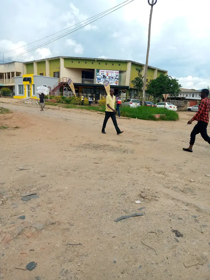
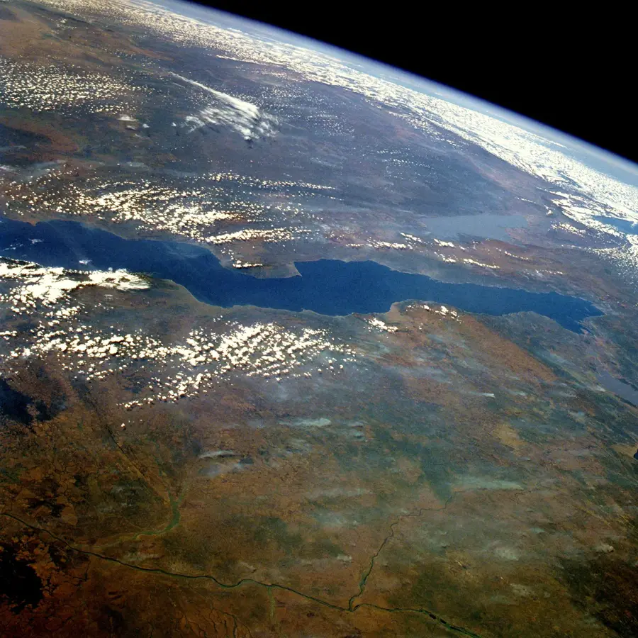
The Congo-Nile Crest is the geographical backbone of Burundi, forming the watershed divide between Africa's two largest river systems. It stretches from north to south through the country, reaching altitudes of over 2,500 meters. This mountain range is of critical ecological importance as it influences the region's rainfall patterns and serves as the source for numerous rivers. The western slopes drain into the Congo Basin, while the eastern slopes feed the Nile. Originally, the entire crest was covered by dense montane rainforests, of which significant fragments like Kibira and Bururi remain today. The region hosts exceptional biodiversity, with many species endemic to the Albertine Rift. Culturally, the crest is deeply rooted in Burundi's history, long regarded as a natural fortress and a sacred place. Today, the area is densely populated, with terrace farming shaping the landscape. The protection of the crest is of strategic importance for the water and energy security of the entire country, as most hydroelectric potential is located here.
- Location: Burundi
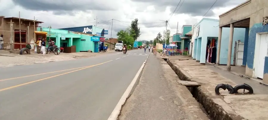
- Nearby: Bukeye (4 km)
Best time to visit & climate
The most pleasant time to visit is Jun–Aug.
| Jan | Feb | Mar | Apr | May | Jun | Jul | Aug | Sep | Oct | Nov | Dec | |
|---|---|---|---|---|---|---|---|---|---|---|---|---|
| Avg °C | 21 | 21 | 21 | 20 | 20 | 19 | 20 | 21 | 22 | 21 | 21 | 21 |
| Rain mm | 158 | 132 | 184 | 175 | 83 | 34 | 19 | 49 | 95 | 157 | 284 | 175 |
📋 Practical info
Geography
Facts
- The crest divides the drainage basins of the Nile and Congo rivers.
- It spans the entire north-south length of the country of Burundi.
- Maximum elevations along the divide exceed 2,500 meters.
- Key national parks like Kibira are situated along this ridge.
- It serves as the primary source of water for the entire nation.
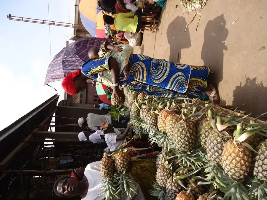
- The region is one of the most densely populated highland areas in Africa.
Explore nearby
Notable places around
Route planner — Car & Motorhome
Where do you start? We build the route here, with stops and country notes along the way.
© OpenStreetMap contributors · OpenRouteService
Sights nearby
Frequently asked questions
What is the Nile-Congo Crest?
How is the weather there?
Do I need a guide?
What clothing should I wear?
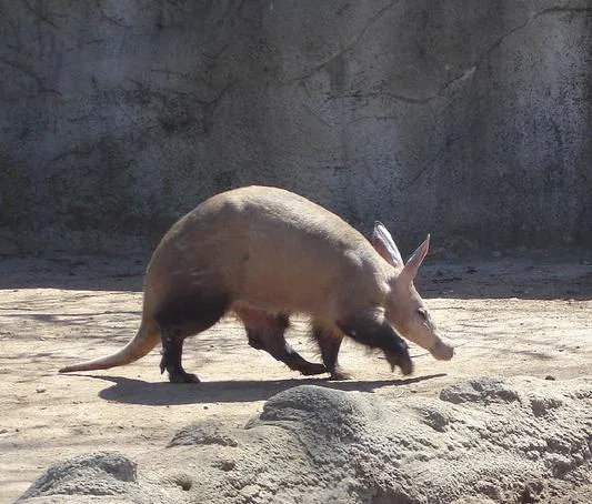
Are there wild animals there?
Nile-Congo Crest: where is it located?
Nile-Congo Crest: when is the best time to visit?
Nile-Congo Crest: why is it worth visiting?

Nearby cities

History & landmarks
Nature
More places