Plizio Visual Lab
Mount Muregeya

Weather…
Water temperature…
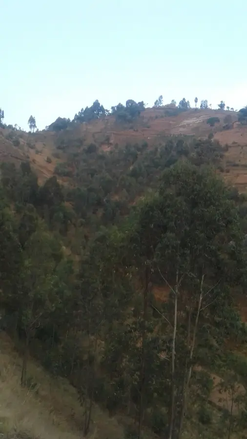
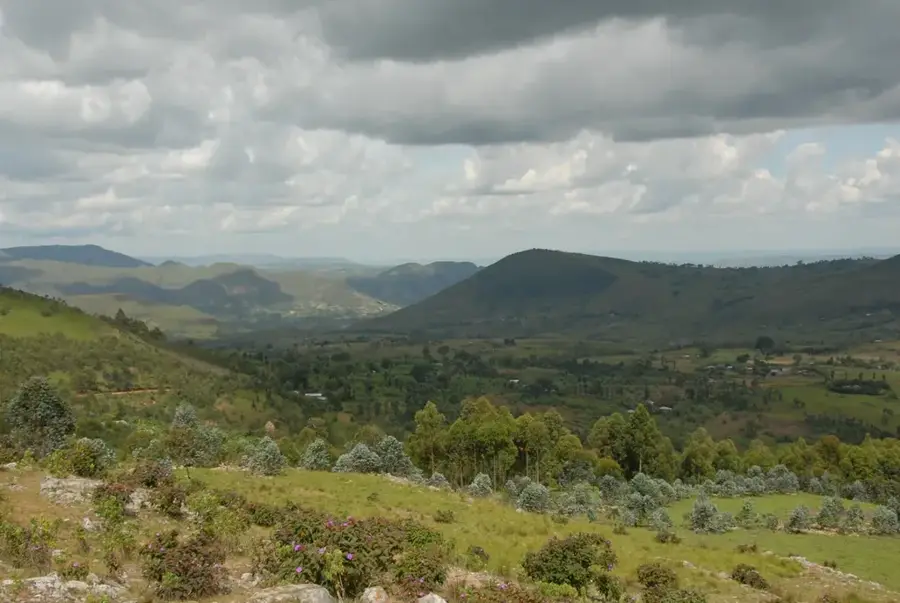
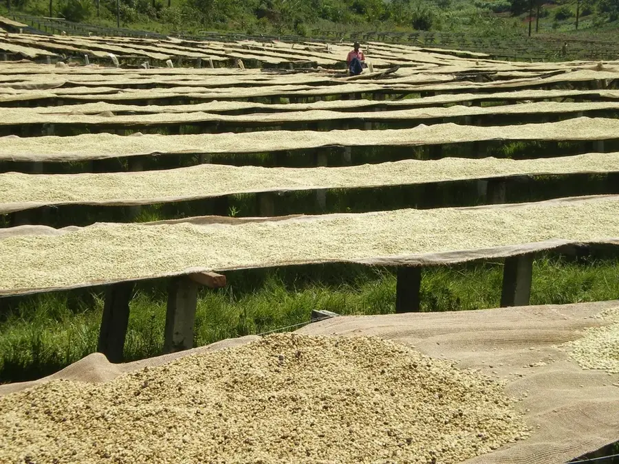
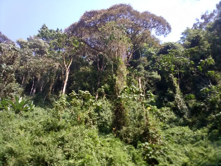
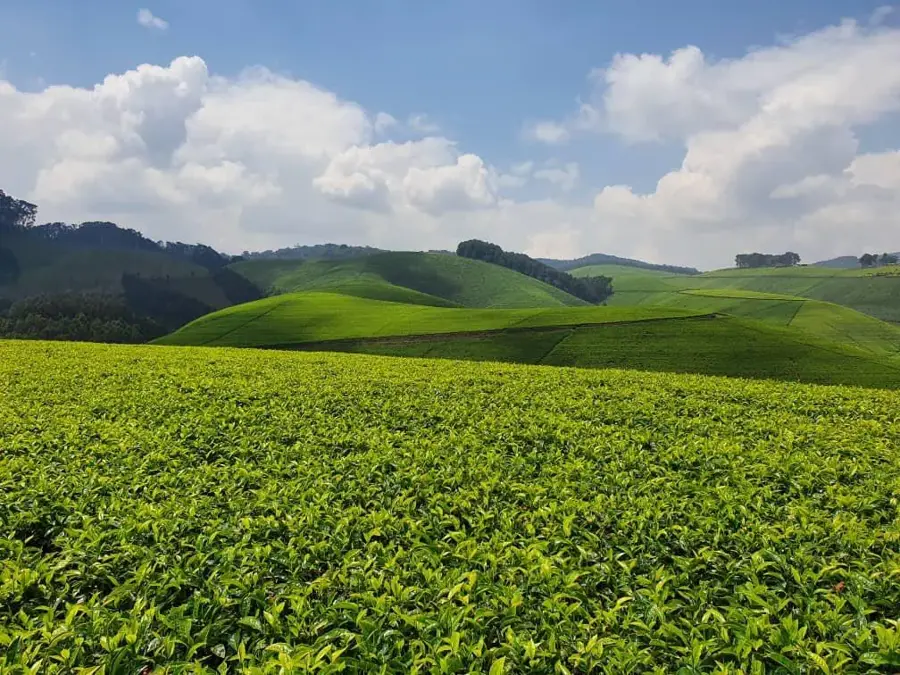
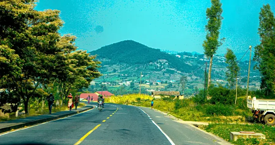
Mount Muregeya is a significant elevation in the central highlands of Burundi, distinguished by its gentler summit shape compared to the rugged western mountains. At an elevation of approximately 2,100 meters, it is a defining element of the agricultural landscape of Gitega Province. The geology of the mountain is determined by Precambrian sedimentary rocks that have been partially metamorphosed. The slopes of Muregeya are almost entirely developed for terrace farming, with maize, sorghum, and bananas being the dominant crops. Due to its central location, the mountain was historically a meeting point for regional trade routes and held strategic importance for Burundian monarchs. The original wooded savanna has mostly been replaced by farmland today, though remnants of native gallery forests can still be found along stream courses. The mountain plays an important role in the local microclimate by intercepting moisture from rising air masses. For the local population, Muregeya is not only a source of livelihood but also a landmark in the country's rolling topography.
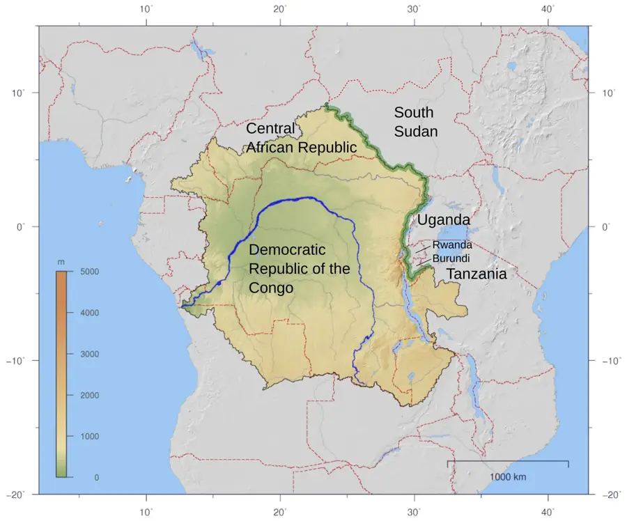
- Location: Burundi
- Nearby: Kayanza (4 km)
Best time to visit & climate
The most pleasant time to visit is Jun–Aug.
| Jan | Feb | Mar | Apr | May | Jun | Jul | Aug | Sep | Oct | Nov | Dec | |
|---|---|---|---|---|---|---|---|---|---|---|---|---|
| Avg °C | 21 | 21 | 21 | 20 | 20 | 19 | 20 | 21 | 22 | 21 | 21 | 21 |
| Rain mm | 158 | 132 | 184 | 175 | 83 | 34 | 19 | 49 | 95 | 157 | 284 | 175 |
📋 Practical info
Geography
Facts
- The elevation of Muregeya is about 2,100 meters.
- It is located in the central Gitega Province.
- Precambrian sedimentary rocks form the base.
- The mountain is known for its extensive terrace fields.
- Historically, it was located on important trade routes.
- Sorghum is an important traditional crop on the mountain.
Explore nearby
Notable places around
Route planner — Car & Motorhome
Where do you start? We build the route here, with stops and country notes along the way.
© OpenStreetMap contributors · OpenRouteService
Sights in the town Mount Muregeya (1)
Sights nearby
Frequently asked questions
What is special about Muregeya Mountain?
Can you go hiking there?
Are there wild animals there?
How is the infrastructure?
When does it rain the most there?
Mount Muregeya: where is it located?
Mount Muregeya: when is the best time to visit?
Mount Muregeya: why is it worth visiting?

Nearby cities


History & landmarks
More places