Plizio Visual Lab
Usora
ℹ️Practical info — Usora
▾
🌤 Weather — 5 days
📍 Nearby
Sights nearby
💡 Tips
- Visit the banks of the Usora River, historically known for its gold deposits.
- See the medieval tombstones (stećci) near the village of Ularice.
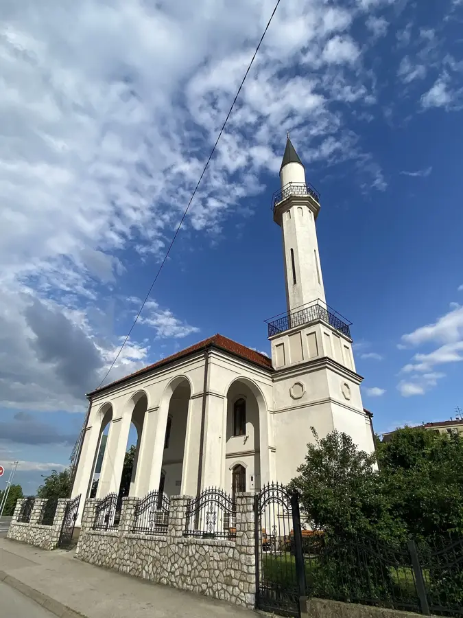
- The Parish of St. Anthony of Padua in Sivša is the cultural heart of the municipality.
- Take a trip to the nearby Deer Lake (Jezero Jelen) to see deer in their natural habitat.
- Take advantage of the proximity to the Tešanj Fortress (10 min drive) for a historical afternoon.
🍽 Food
Try Burek or Sirnica in the small bakeries in the center of Sivša.
Drink the local, award-winning mineral water from the Tešanj-Usora region.
Enjoy grilled meat sausages with kajmak in the traditional inns.
🛍 Shopping · 🧘 Quiet spots
Buy fresh agricultural products directly from local producers.
Look for local plum or apple brandy in the villages.
A quiet spot for fishing or relaxing walks in the greenery.
The calm surroundings of the lake offer relaxation away from transit traffic.
Water temperature…
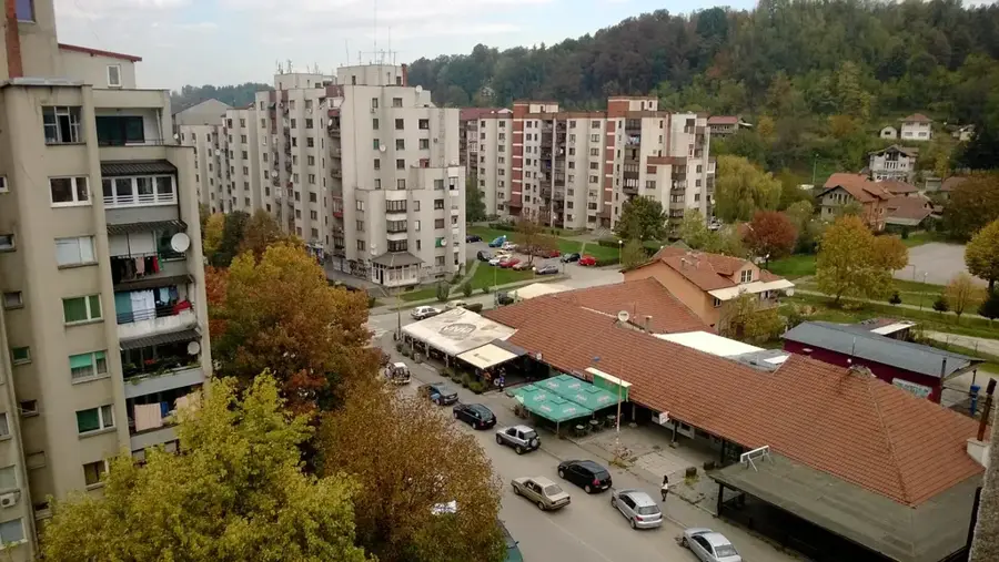
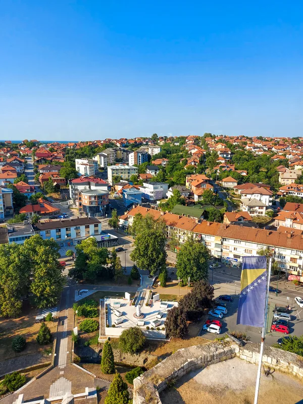
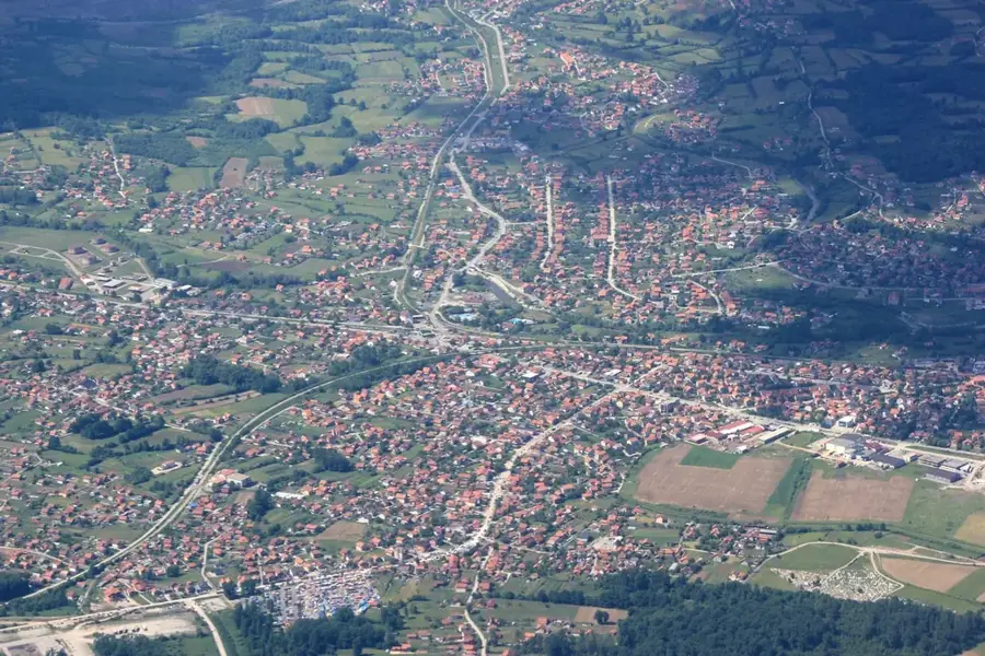
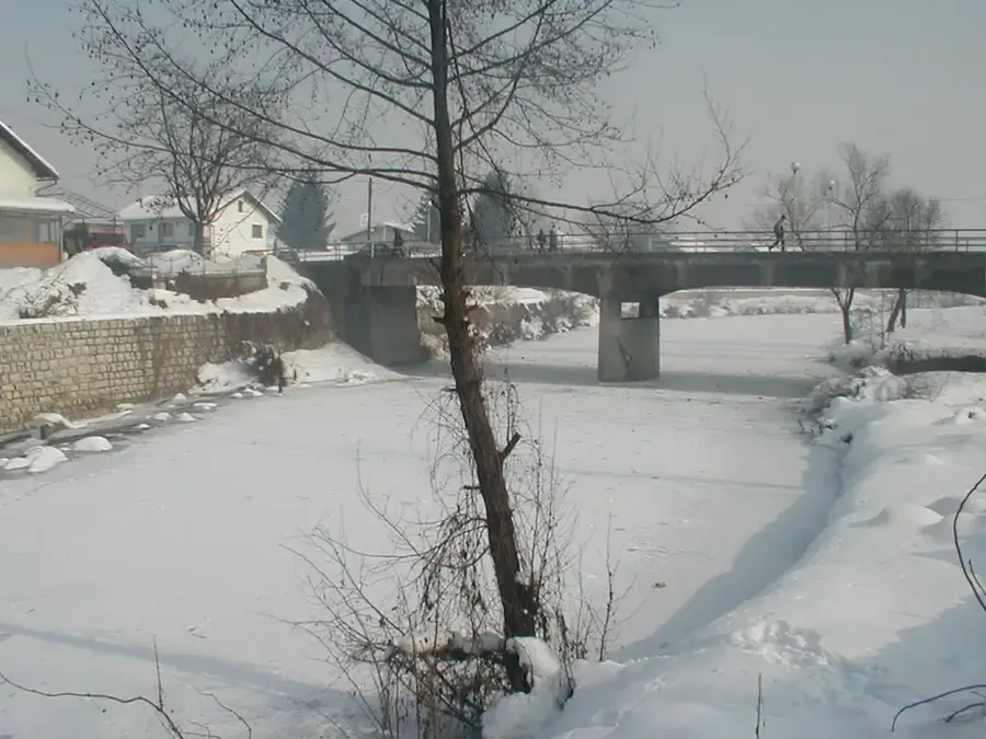
Usora is a municipality in the Zenica-Doboj Canton of Bosnia and Herzegovina, named after the river of the same name. It was established in 1998 following the Dayton Agreement from parts of the Tešanj and Doboj municipalities, with its administrative seat in Sivša. Historically, the Usora region was a strategically important border area between various medieval empires and later part of the Ottoman frontier defense. The geography is characterized by the flat valley of the Usora River, which provides convenient conditions for both agriculture and industrial development. In recent decades, Usora has evolved into a dynamic economic location, benefiting from its position along the major M-4 and M-17 transport axes. Numerous small and medium-sized enterprises in metal processing, trade, and services have settled here. The municipality is predominantly inhabited by a Croat population and maintains a strong cultural identity expressed through local traditions and festivities.
- Location: Bosnia and Herzegovina
- Nearby: Banja Vrućica (6 km)
- Population: ~7.550
Best time to visit & climate
The most pleasant time to visit is Jun–Aug.
| Jan | Feb | Mar | Apr | May | Jun | Jul | Aug | Sep | Oct | Nov | Dec | |
|---|---|---|---|---|---|---|---|---|---|---|---|---|
| Avg °C | 0 | 1 | 5 | 10 | 15 | 19 | 22 | 22 | 16 | 11 | 6 | 1 |
| Rain mm | 63 | 62 | 65 | 66 | 91 | 88 | 63 | 61 | 77 | 69 | 71 | 72 |
Geography
Facts
- The municipality of Usora was officially established in 1998.
- Sivša serves as the administrative center of the municipality.
- The municipality covers an area of approximately 50 km².
- The name is derived from the Usora River, a tributary of the Bosna.
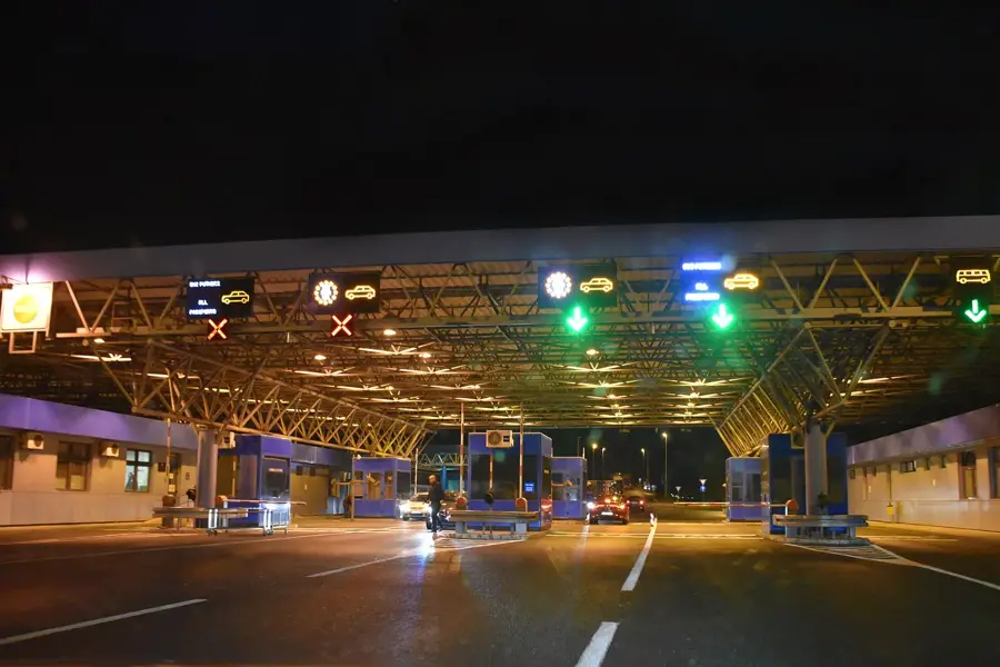
- Major road connections include the M-4 and M-17 highways.
- The metal industry is the strongest economic factor in Usora.
Explore nearby
Notable places around
Route planner — Car & Motorhome
Where do you start? We build the route here, with stops and country notes along the way.
© OpenStreetMap contributors · OpenRouteService
Sights in the town Usora (1)
Frequently asked questions
What is Usora known for?
What sights are in Usora?
When is the best time to visit?
Are there local specialties?
How to reach Usora?
Usora: where is it located?
Usora: when is the best time to visit?
Usora: why is it worth visiting?
Nearby cities