Plizio Visual Lab
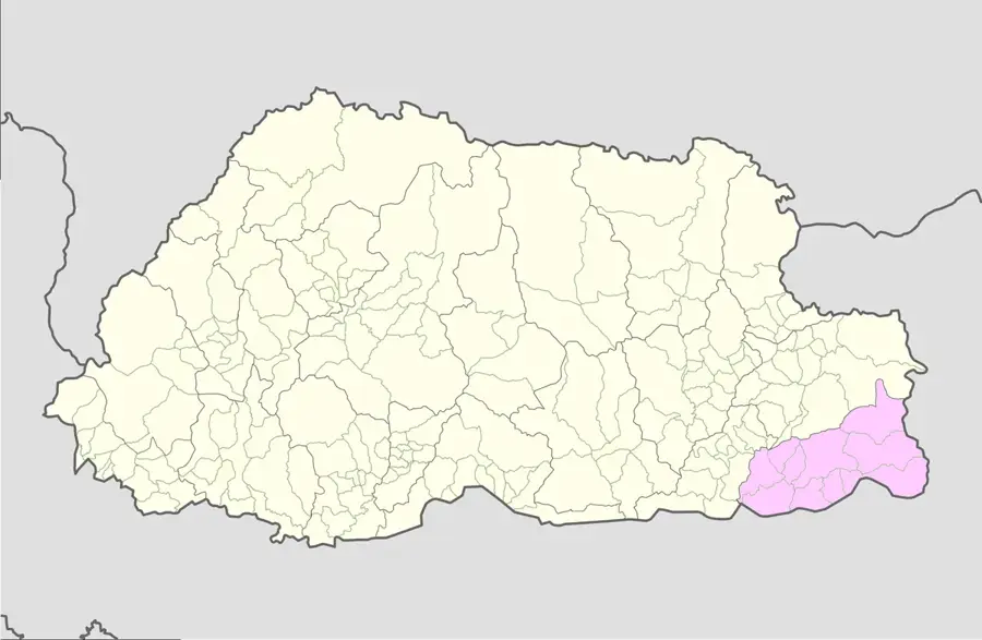
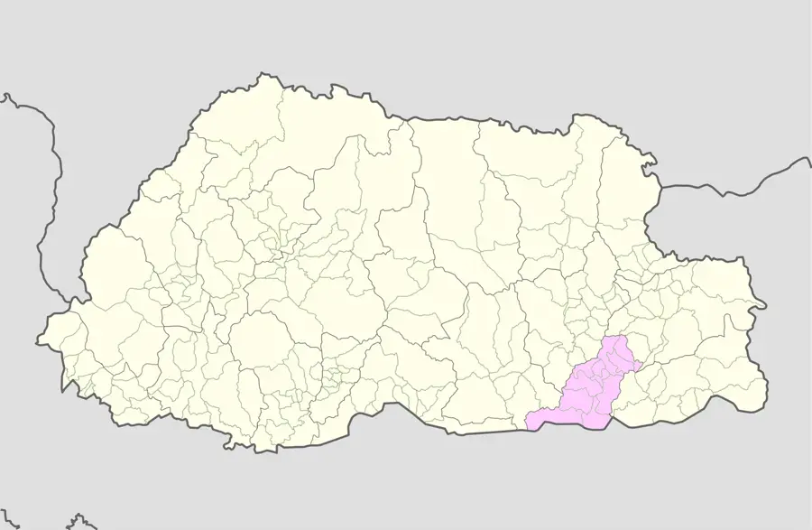
Samdrup Jongkhar
ℹ️Practical info — Samdrup Jongkhar
▾
🌤 Weather — 5 days
📍 Nearby
Sights nearby
💡 Tips
- Prepare for a much warmer, tropical climate compared to the rest of Bhutan due to the low elevation.
- Indian Rupees are widely and seamlessly accepted here, so there is no urgent need to exchange currency.
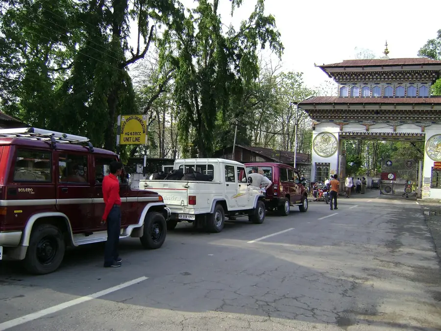
- Ensure your border crossing permits are fully arranged in advance, as checkpoint rules are strictly enforced.
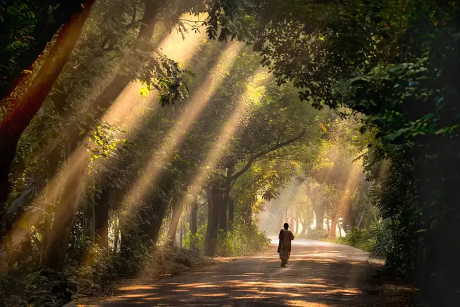
- Take advantage of the cooler early morning hours for birdwatching along the lush forest edges.
🍽 Food
Try the spiced curries at border-side eateries that beautifully blend Indian and Bhutanese flavors.
A milder potato and cheese dish that serves as a great, comforting alternative to spicy chilies.
Pick up fresh papayas and bananas, which are cheap and plentiful at the local market.
🛍 Shopping · 🧘 Quiet spots
Typical of eastern Bhutan; look out for beautifully hand-crafted baskets and containers.
Traditional fabrics that are often woven lighter here compared to the chilly highlands.
The local market is an excellent spot to pick up affordable, fresh spices to take home.
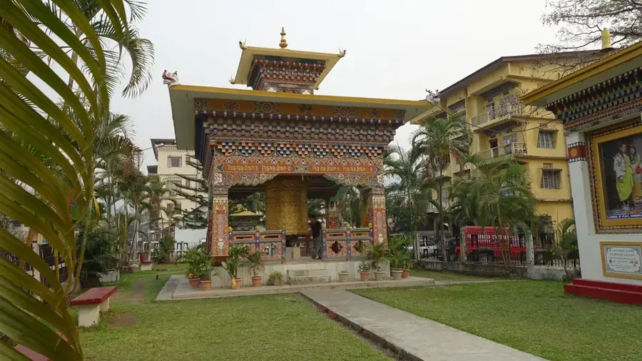
A quiet spiritual space within the town where you can often hear the monks chanting.
A short walk up the hill rewards you with a sweeping, clear view into the Indian plains.
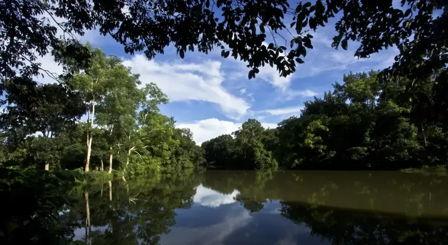
Peaceful paths right on the edge of the built-up areas, convenient for taking a deep breath in nature.
Water temperature…
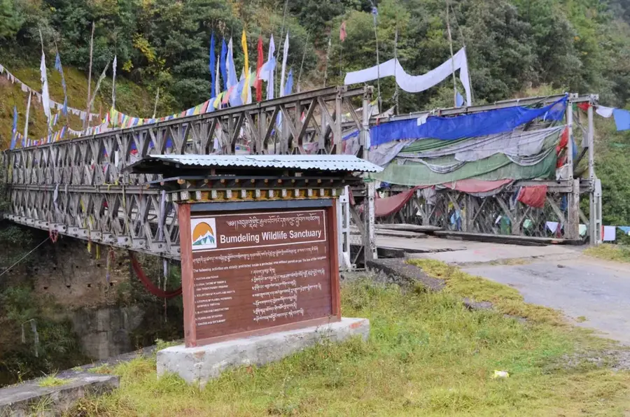
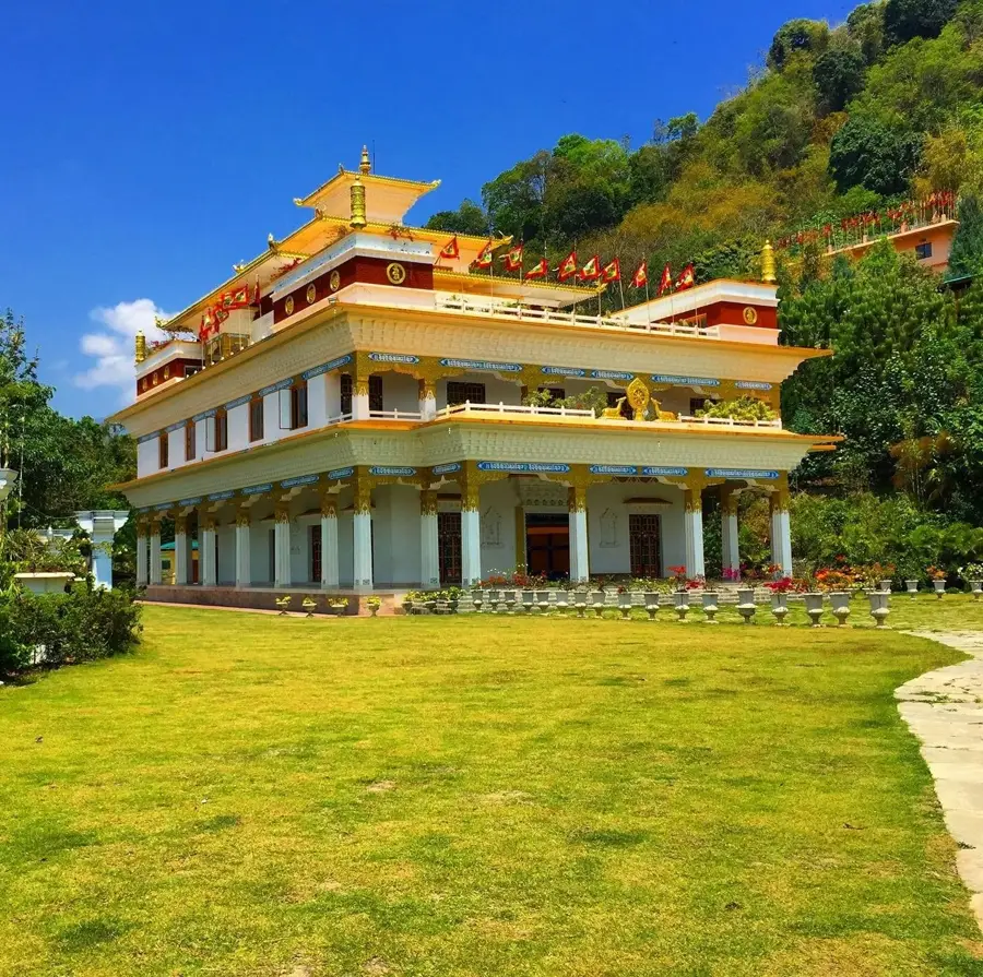
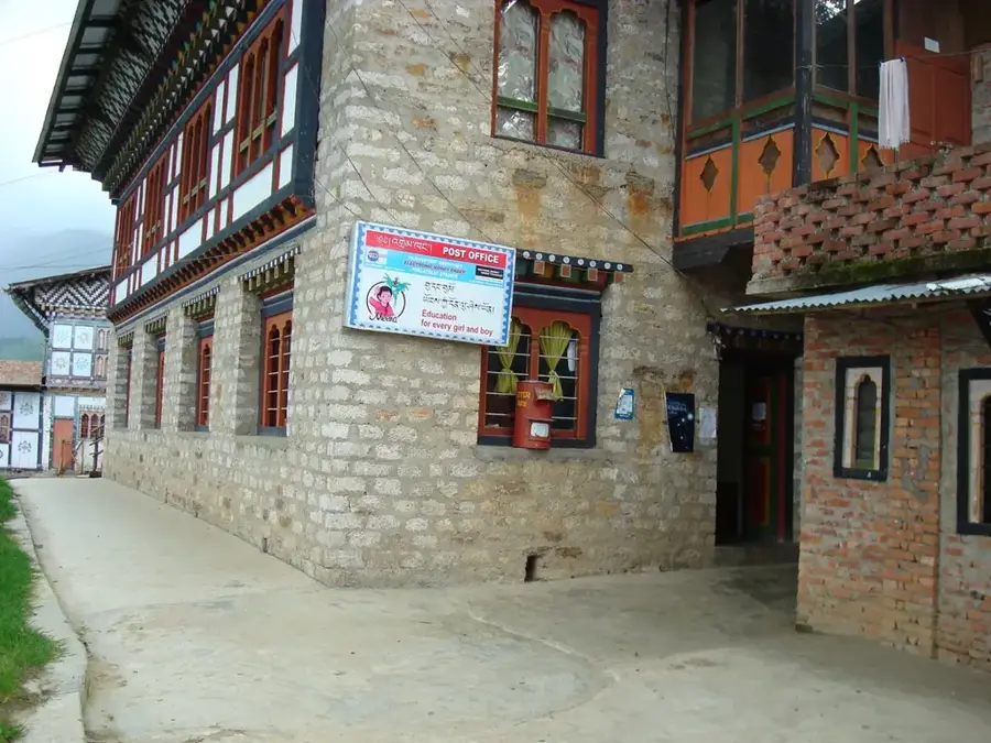
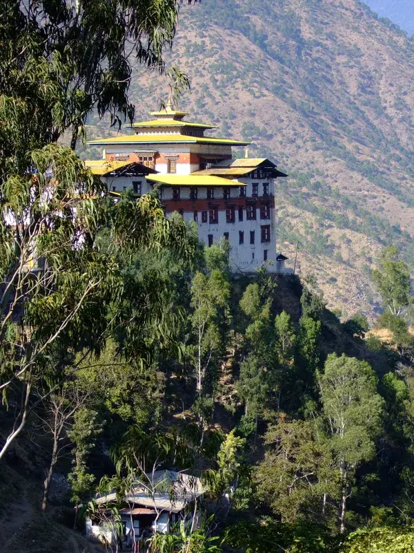
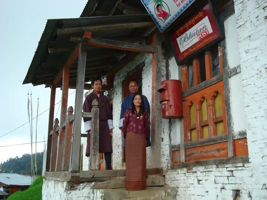
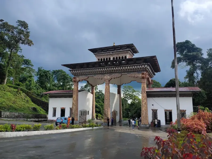
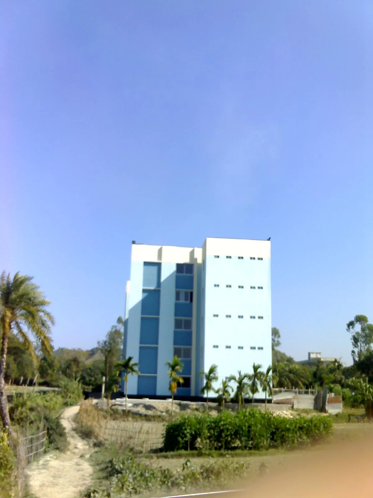
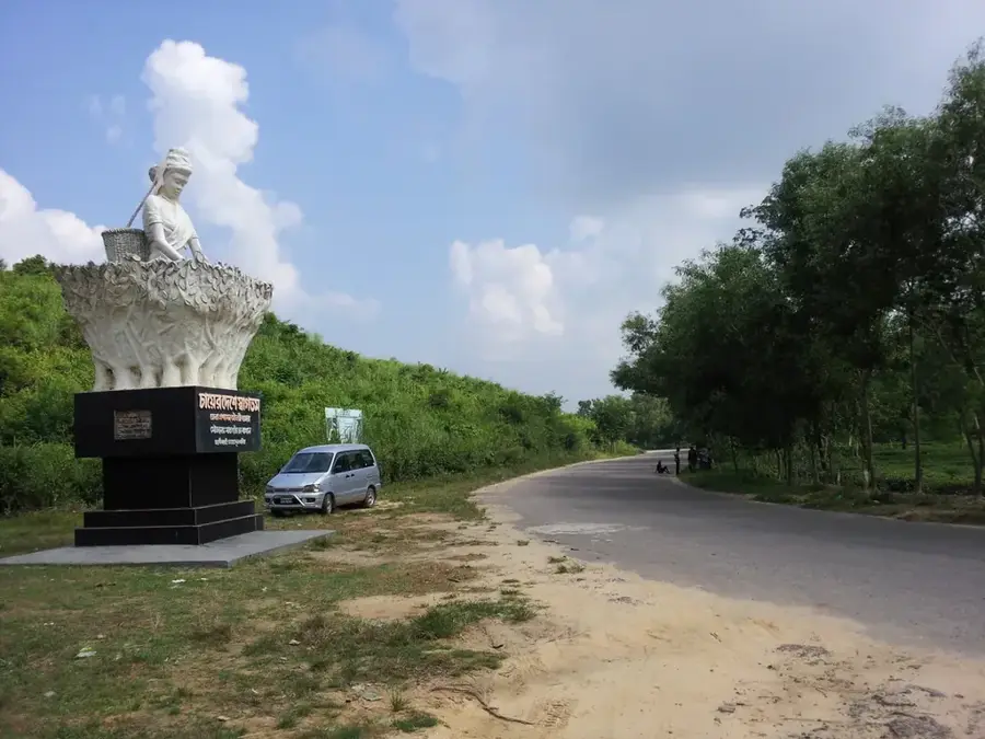
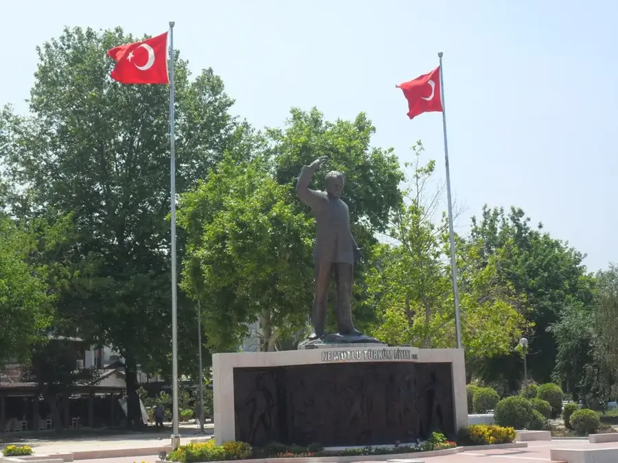
Samdrup Jongkhar is a town in southeastern Bhutan on the border with India, at an elevation of about 200 meters. Its population is approximately 7,000 (2017). It serves as the administrative center of Samdrup Jongkhar District and is a key border crossing for trade with India. The economy is based on agriculture (rice, maize, citrus), trade, and government services. The climate is subtropical, with hot summers and heavy monsoon rainfall. The town features a modern dzong built in 1995. Nearby Khaling Wildlife Sanctuary protects subtropical forests and wildlife including leopard and Himalayan black bear. Samdrup Jongkhar is a gateway to eastern Bhutan and lies on the main highway to Trashigang. The population is ethnically diverse, with Bhutanese, Nepali, and Indian groups. The town has a hospital, schools, and a market.
- Location: Bhutan
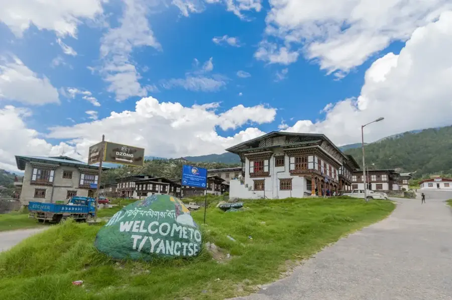
- Nearby: Trashigang (6 km)
- Population: ~9.325 (2026)
Best time to visit & climate
The most pleasant time to visit is Mar, Oct, Nov.
| Jan | Feb | Mar | Apr | May | Jun | Jul | Aug | Sep | Oct | Nov | Dec | |
|---|---|---|---|---|---|---|---|---|---|---|---|---|
| Avg °C | 11 | 13 | 17 | 20 | 22 | 23 | 23 | 23 | 22 | 20 | 16 | 13 |
| Rain mm | 6 | 18 | 48 | 212 | 267 | 341 | 362 | 269 | 214 | 115 | 11 | 5 |
Geography
Facts
- Elevation: approx. 200 m.
- Population (2017): approx. 7,000.
- Year built of Dzong: 1995.
- Distance to Trashigang: approx. 130 km.
- Khaling Wildlife Sanctuary area: 34 km².
- Average June temperature: 32 °C.
Explore nearby
Notable places around
Route planner — Car & Motorhome
Where do you start? We build the route here, with stops and country notes along the way.
© OpenStreetMap contributors · OpenRouteService
Frequently asked questions
What is the significance of this town?
Can you travel to India from here?
What is the surrounding area like?
What do locals eat there?
When should you visit the town?
Samdrup Jongkhar: where is it located?
Samdrup Jongkhar: when is the best time to visit?
Samdrup Jongkhar: why is it worth visiting?

Nearby cities
History & landmarks
Nature
More places