Plizio Visual Lab
Mongar
ℹ️Practical info — Mongar
▾
🌤 Weather — 5 days
📍 Nearby
Sights nearby
💡 Tips
- Prepare for winding roads; the drive to Mongar features dramatic drops and spectacular scenery, but motion sickness pills are recommended.
- The town is built on a steep hillside, so walking around requires navigating many stairs and steep paths.
- Lemon grass is extensively grown here; you will often smell it in the air, especially driving through the region.
- It's a great base for exploring eastern Bhutan, but amenities are fewer than in the west, so carry enough cash.
🍽 Food
Sample fresh, locally produced cheese used in curries at family-run eateries.
A milder alternative to Ema Datshi made with potatoes, often served in the town's small restaurants.
If invited by locals, you might try this traditional fermented beverage made from rice or maize.
🛍 Shopping · 🧘 Quiet spots
Purchase essential oils and sprays distilled locally in the Mongar region.
Look for hand-woven textiles and raw silk (bura) garments typical of eastern Bhutan.
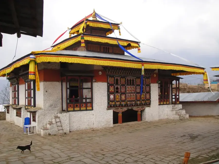
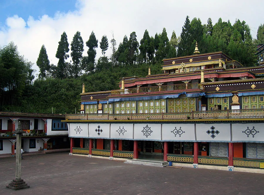
Unlike western dzongs, this modern dzong (built in the 1930s) features a very quiet, serene atmosphere.
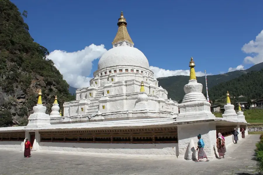
A short drive away, these atmospheric ruins are engulfed by the jungle and offer a peaceful, historic retreat.
Water temperature…
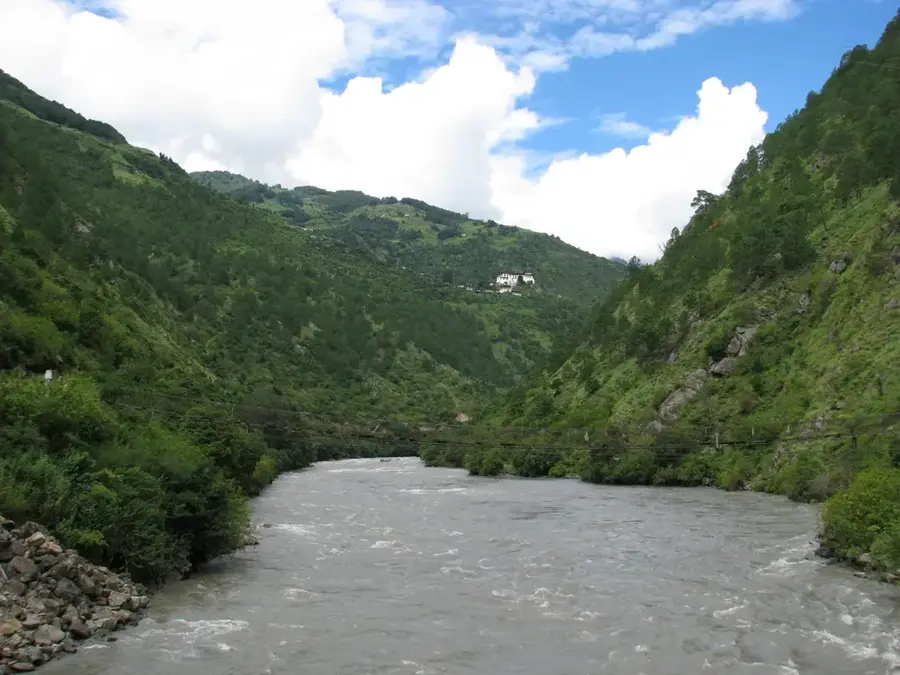
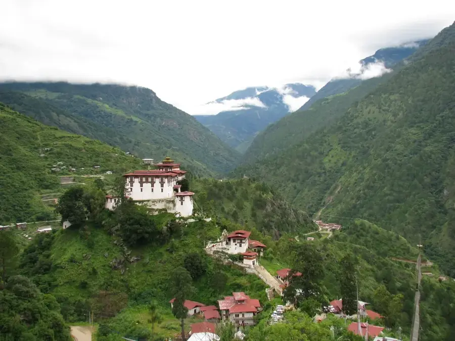
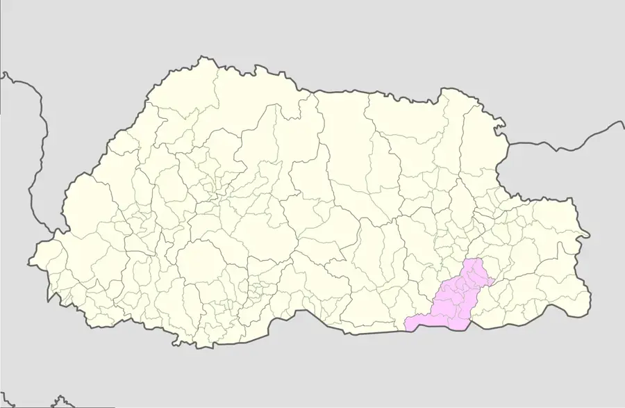
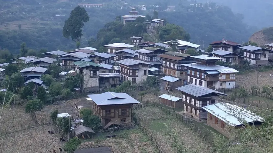
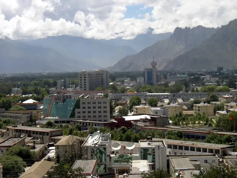
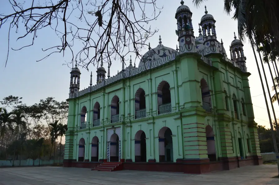
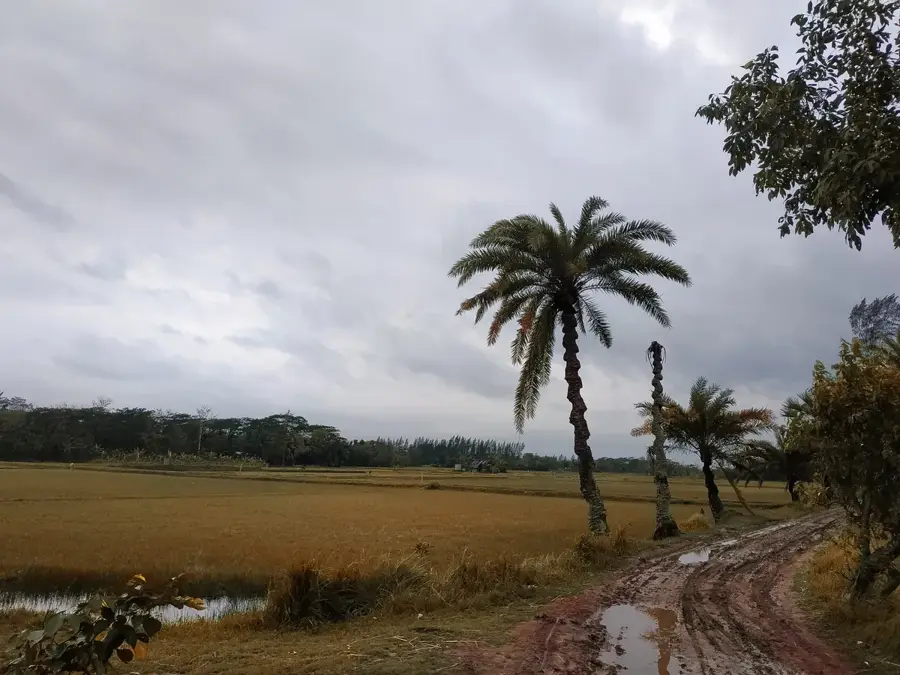
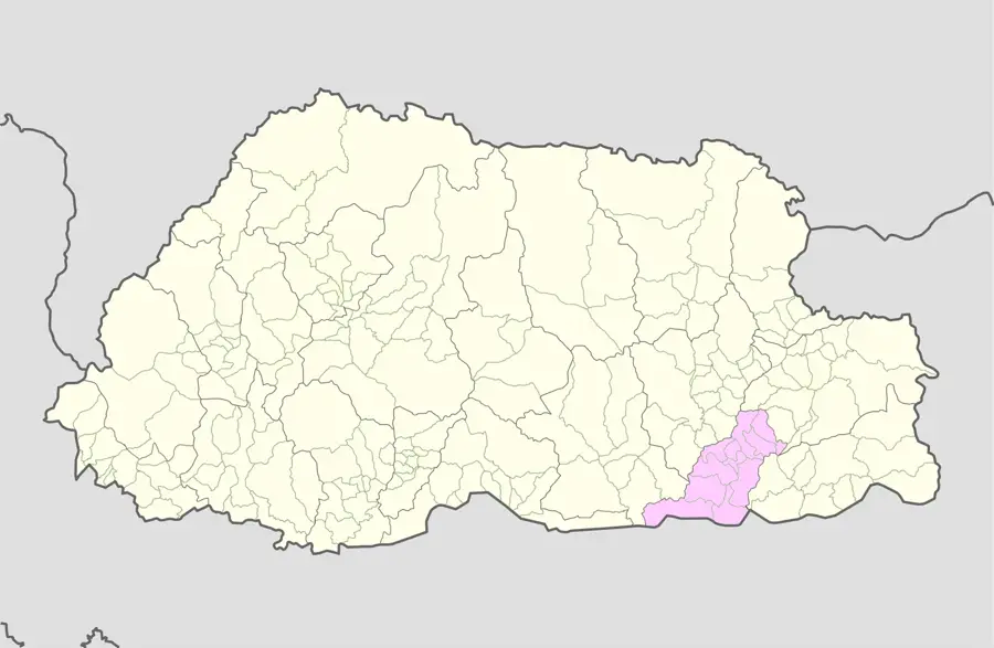
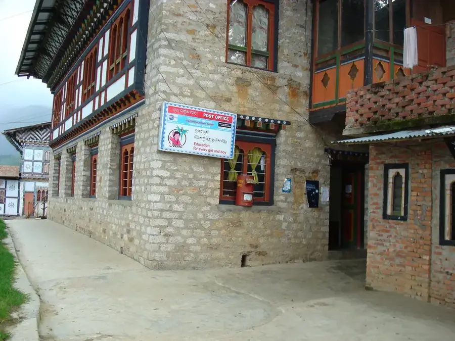
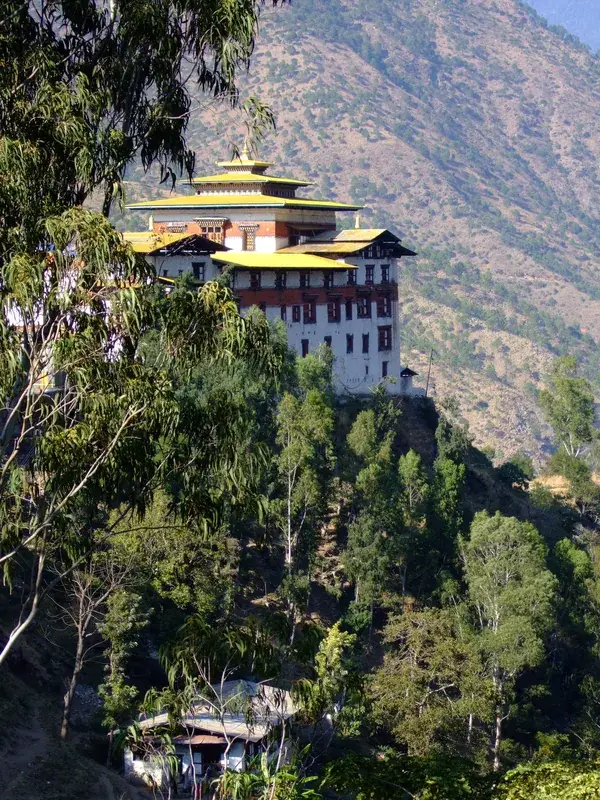
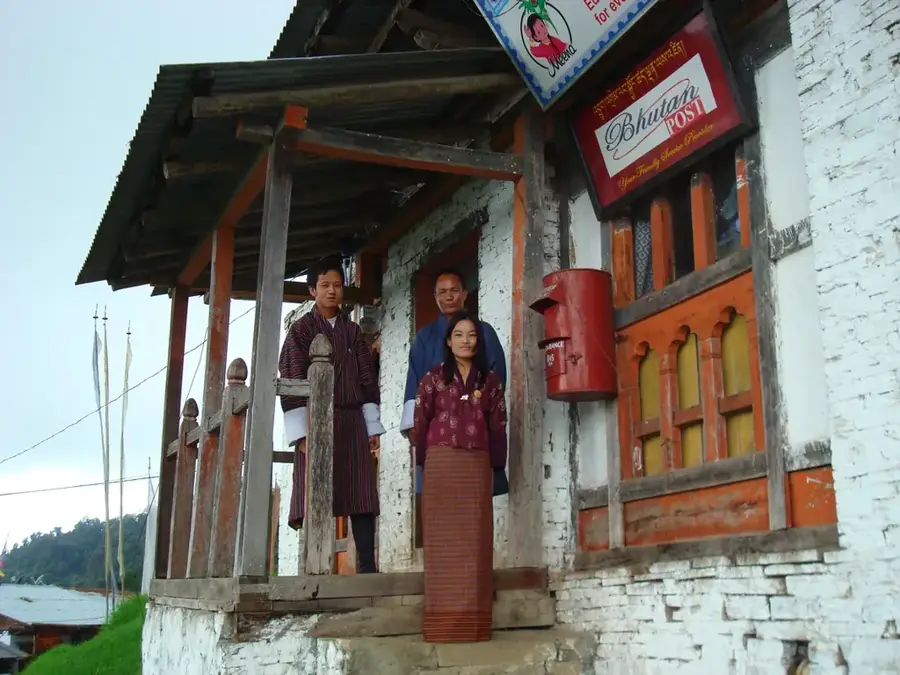
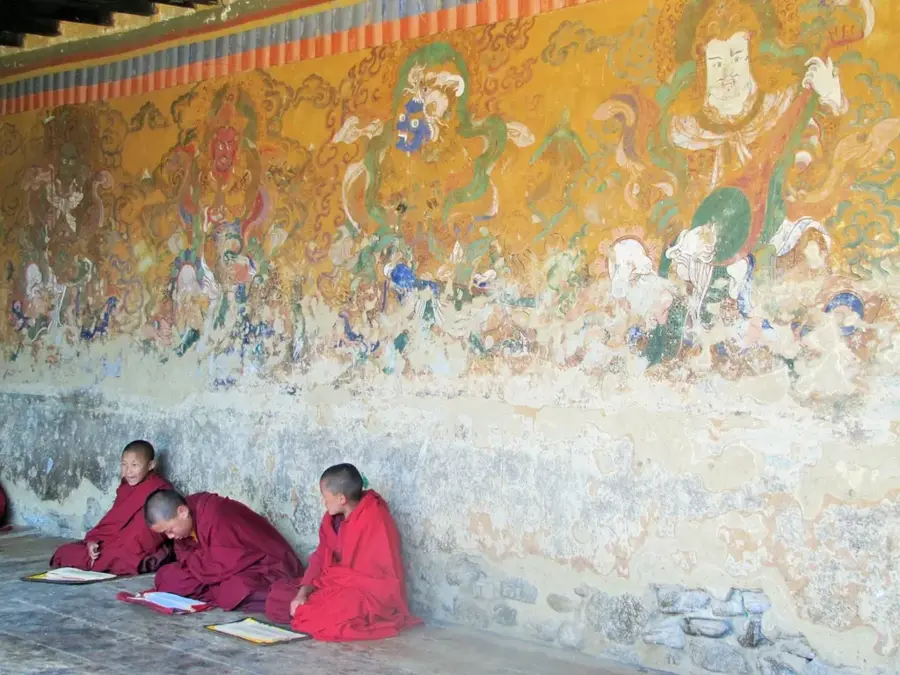
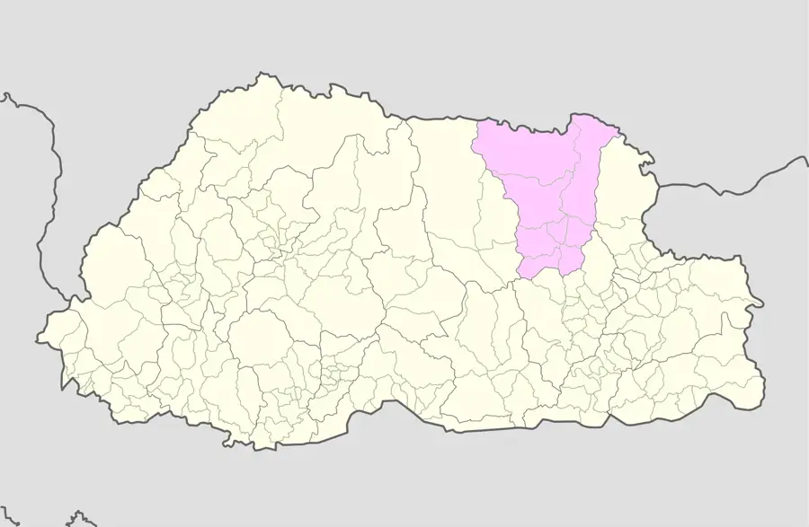
Mongar is a town in eastern Bhutan at an elevation of about 1,600 meters. It is the administrative center of Mongar District, with a population of around 6,500. The town is known for the Mongar Dzong, built in 1930 in a modern architectural style. The economy relies on agriculture (maize, potatoes, apples) and government services. Mongar is a trading hub for the eastern region. The climate is subtropical, with warm summers and mild winters. Hot springs like Gyoza are found nearby. The majority of the population belongs to the Kheng and Tshangla ethnic groups. Mongar is famous for bamboo crafts. The Mongar Chhu river flows through the town. Korila Pass, at 2,450 meters, connects Mongar to other parts of Bhutan. The town has a hospital, schools, and markets.
- Location: Bhutan
- Nearby: Gyalpozhing (7 km)
- Population: ~2.969 (2026)
Best time to visit & climate
The most pleasant time to visit is Sep–Nov.
| Jan | Feb | Mar | Apr | May | Jun | Jul | Aug | Sep | Oct | Nov | Dec | |
|---|---|---|---|---|---|---|---|---|---|---|---|---|
| Avg °C | 4 | 5 | 8 | 11 | 14 | 17 | 18 | 17 | 16 | 12 | 8 | 5 |
| Rain mm | 5 | 13 | 27 | 95 | 137 | 182 | 244 | 185 | 124 | 64 | 6 | 3 |
Geography
Facts
- Elevation: 1,600 m.
- Population: approx. 6,500.
- Construction year of Dzong: 1930.
- Elevation of Korila Pass: 2,450 m.
- Annual tourist arrivals (2018): approx. 2,000.
- Average July temperature: 25 °C.
Explore nearby
Notable places around
Route planner — Car & Motorhome
Where do you start? We build the route here, with stops and country notes along the way.
© OpenStreetMap contributors · OpenRouteService
Frequently asked questions
Where is Mongar located?
What is special about Mongar Dzong?
What is the journey like?
Is Mongar touristy?
What crafts are found there?
Mongar: where is it located?
Mongar: when is the best time to visit?
Mongar: why is it worth visiting?

Nearby cities
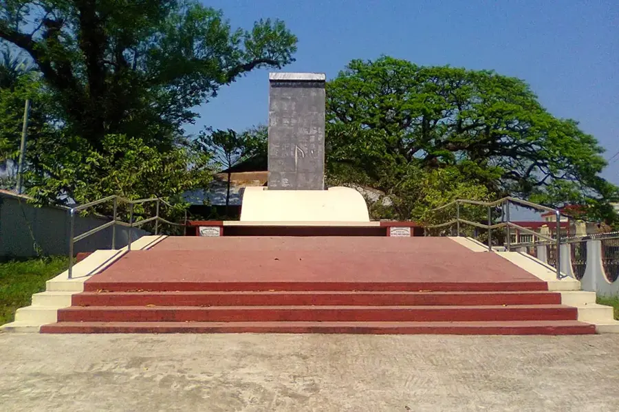
History & landmarks
Nature
More places