Baudet'Stival 2026 | Sunday
Crown your weekend with the closing highlights of Baudet'Stival at the unique festival grounds in Bertrix.
Plizio Visual Lab
Weather…
Water temperature…
Crown your weekend with the closing highlights of Baudet'Stival at the unique festival grounds in Bertrix.
Enjoy the full festival experience with the 3-day pass for Baudet'Stival in the scenic Bertrix region.
The festival Saturday in Bertrix features energetic live performances and a great atmosphere in the province of Luxembourg.
Kick off the festival weekend in Bertrix with a top-tier hip-hop and rap lineup at the scenic Colline de la Ferté.
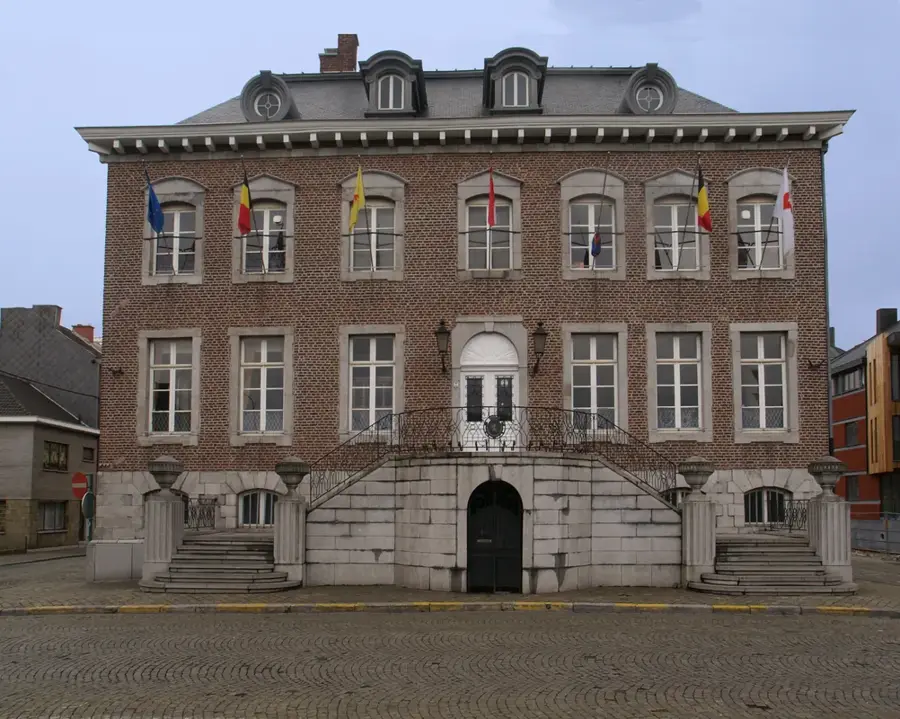
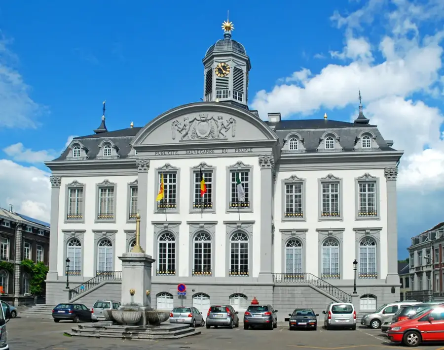
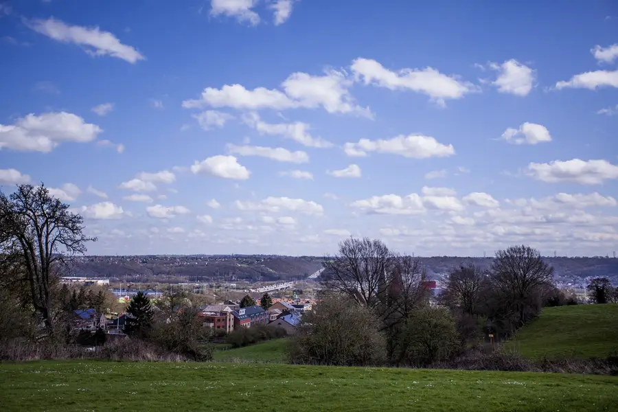
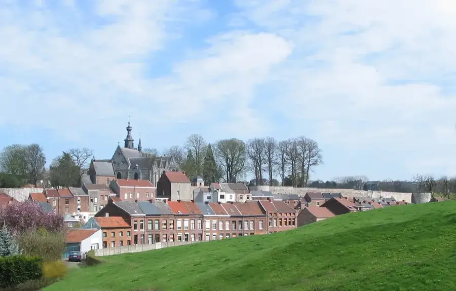
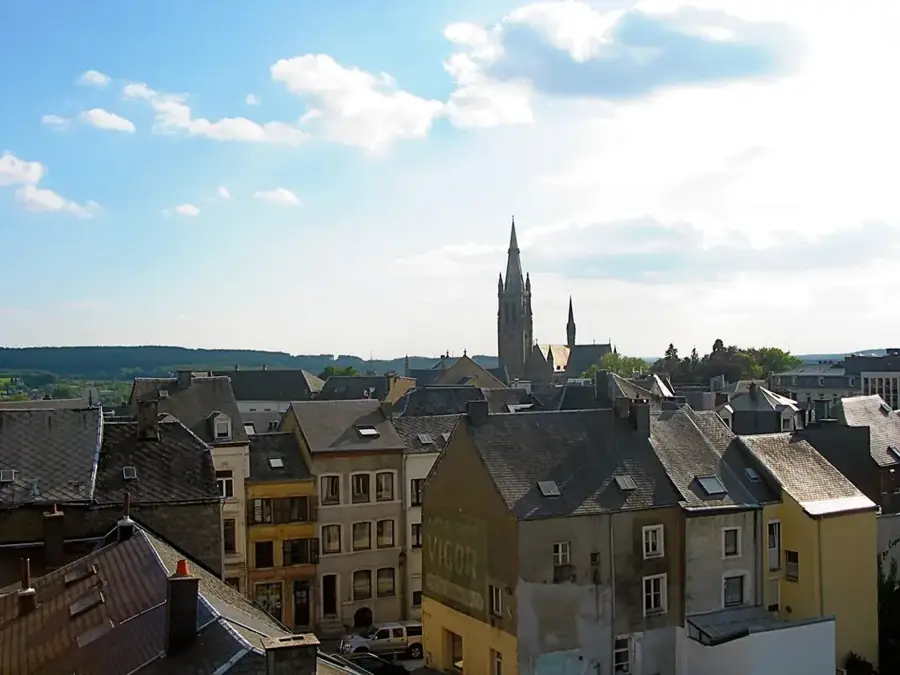
The Colline de la Ferté is a prominent elevation in the border region between Belgium and France, geologically belonging to the Gaume region in the southern part of the province of Luxembourg. This hill is part of a cuestas landscape characterized by resistant rock layers from the Jurassic period, rising distinctly above the Chiers valley. The site gained historical significance primarily for its military role as part of the Maginot Line during World War II. Its strategic location provided expansive views over the surrounding terrain, leading to the construction of extensive defensive fortifications in 1935. Today, the elevation serves as a place of remembrance and gives hikers insights into the complex geomorphology of the region. The flora on the hilltop differs from the adjacent valleys, featuring drought-resistant species that thrive on the calcareous soil. Due to its exposed position, it often experiences microclimatic conditions distinct from the sheltered lowlands of the Gaume region.
The most pleasant time to visit is Jun–Aug.
| Jan | Feb | Mar | Apr | May | Jun | Jul | Aug | Sep | Oct | Nov | Dec | |
|---|---|---|---|---|---|---|---|---|---|---|---|---|
| Avg °C | 0 | 1 | 4 | 8 | 12 | 16 | 18 | 17 | 13 | 9 | 5 | 1 |
| Rain mm | 84 | 73 | 69 | 52 | 76 | 76 | 76 | 85 | 60 | 72 | 79 | 93 |
Notable places around
Where do you start? We build the route here, with stops and country notes along the way.
© OpenStreetMap contributors · OpenRouteService