Plizio Visual Lab
Semois Valley
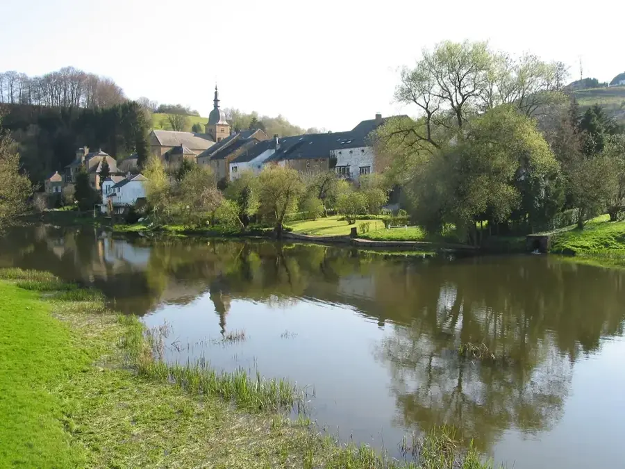
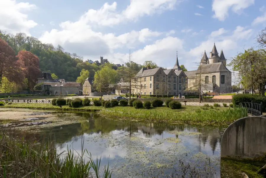
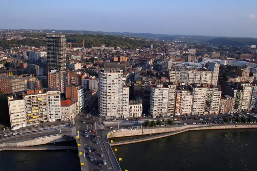
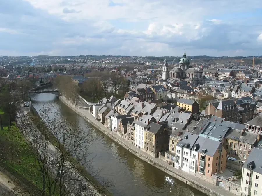
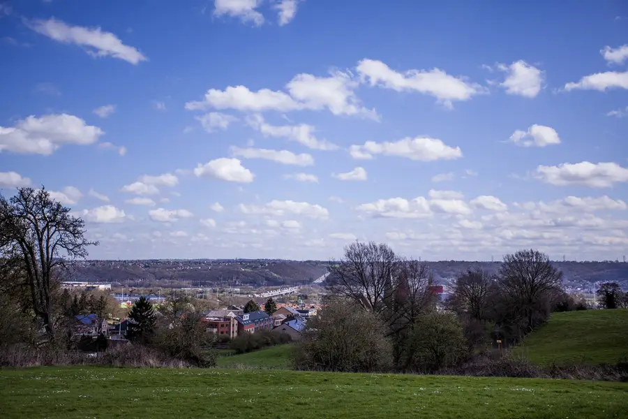
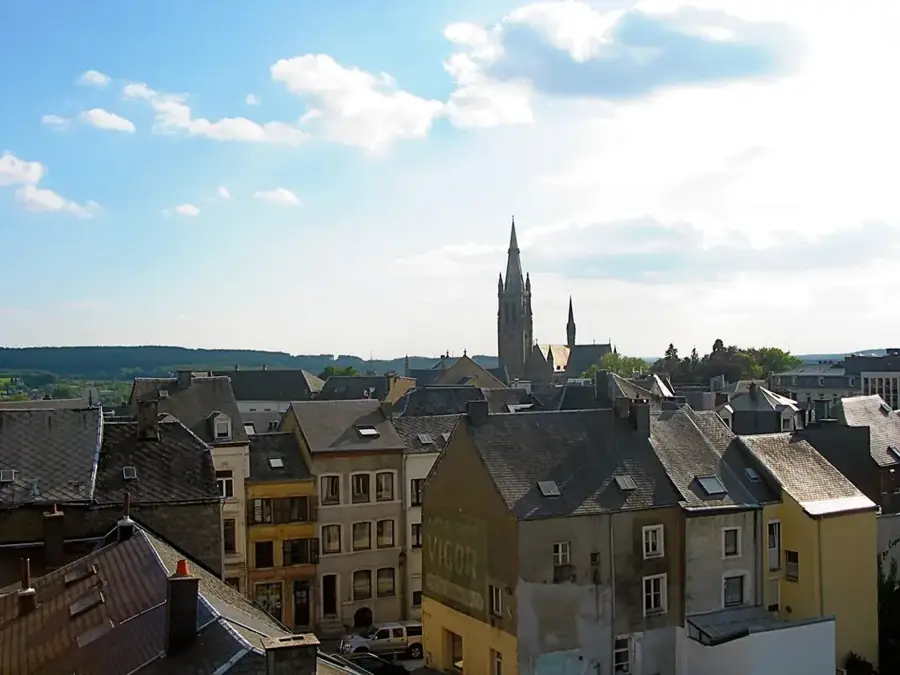
The Semois Valley in the far south of Belgium is famous for its spectacular river loops and deeply incised meanders in the schist rocks of the Ardennes. The Semois river originates near Arlon and flows for over 210 kilometers through Belgium and France before joining the Meuse. The region around Bouillon is particularly impressive, where the river forms an almost closed loop known as the 'Tombeau du Géant' (Giant's Tomb). Geologically, the valley is characterized by Paleozoic sedimentary rocks, whose hardness enabled the formation of striking relief differences between sharp rocky ridges and the deep valley floor. Historically, the region was a center for tobacco cultivation, which dominated the local economy in the 19th and early 20th centuries. The steep slopes are now mostly covered by dense deciduous forests, providing a vital habitat for red deer and rare bird species. The Semois Valley is regarded as one of the most pristine natural landscapes in the country and is part of the Semois-Meuse Natural Park.
- Location: Belgium
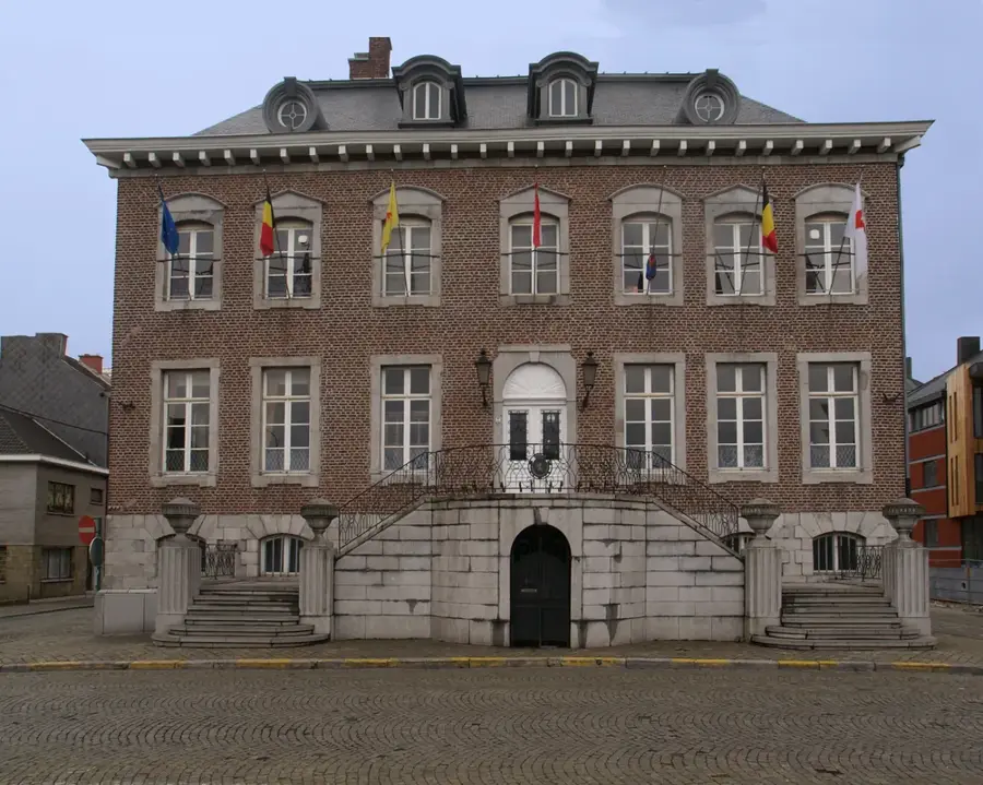
- Top sights: Château de Viaumont · Roche de la Schevauchée
- Nearby: Virton (40 km)
Best time to visit & climate
The most pleasant time to visit is Jun–Aug.
| Jan | Feb | Mar | Apr | May | Jun | Jul | Aug | Sep | Oct | Nov | Dec | |
|---|---|---|---|---|---|---|---|---|---|---|---|---|
| Avg °C | 1 | 1 | 5 | 9 | 12 | 16 | 18 | 18 | 14 | 10 | 5 | 2 |
| Rain mm | 83 | 71 | 67 | 51 | 72 | 73 | 74 | 83 | 56 | 69 | 77 | 92 |
📋 Practical info
Geography
Facts
- The Semois river has a total length of 210 kilometers.
- The famous 'Tombeau du Géant' loop at Botassart is a protected natural monument.
- In the Bouillon region, the medieval castle of Godfrey of Bouillon overlooks the valley.
- Tobacco cultivation in the Semois region began in the year 1855.
- The geological formations mostly date back to the Lower Devonian.
- The valley belongs to the 'Semois-Meuse' and 'Vallée de la Semois' natural parks.
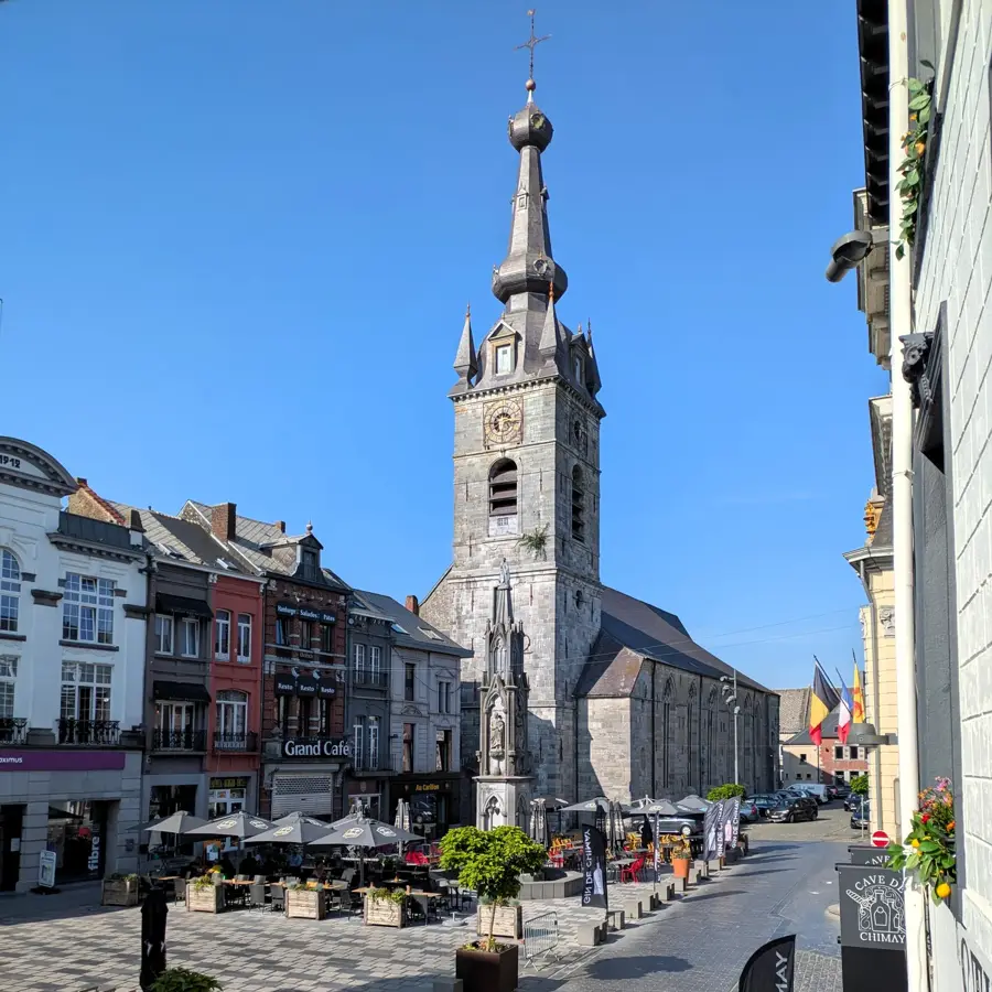
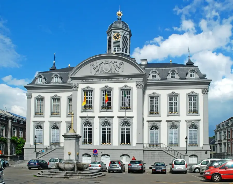
Explore nearby
Notable places around
Route planner — Car & Motorhome
Where do you start? We build the route here, with stops and country notes along the way.
© OpenStreetMap contributors · OpenRouteService
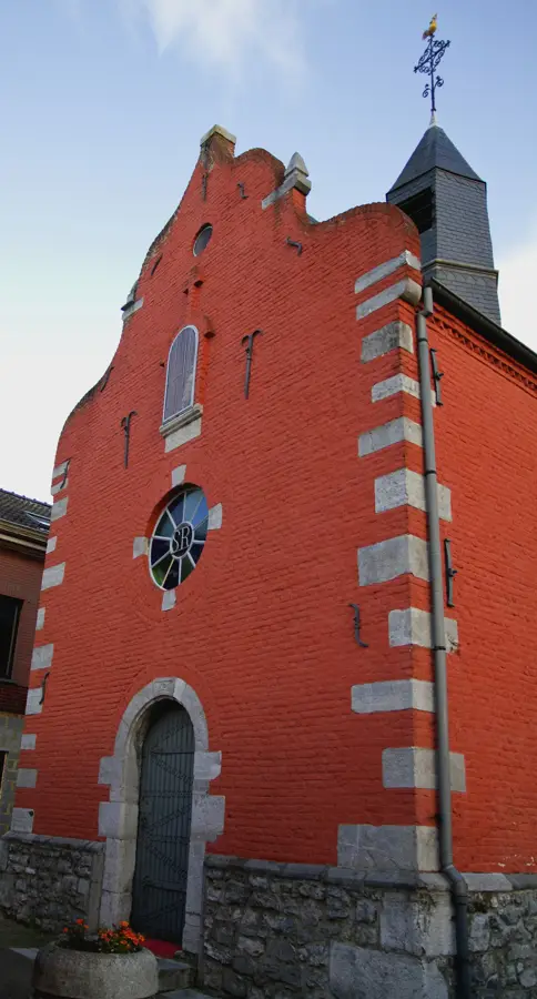
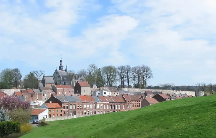
Sights in the town Semois Valley (2)
Sights nearby
Frequently asked questions
What is the most famous photo spot in the Semois Valley?
Can you go kayaking on the Semois?
Which town in the valley is worth a visit?
Are there tobacco museums in the Semois Valley?
How challenging are the hiking trails?
Semois Valley: where is it located?
Semois Valley: what is there to see?
Semois Valley: when is the best time to visit?
Semois Valley: why is it worth visiting?

Nearby cities
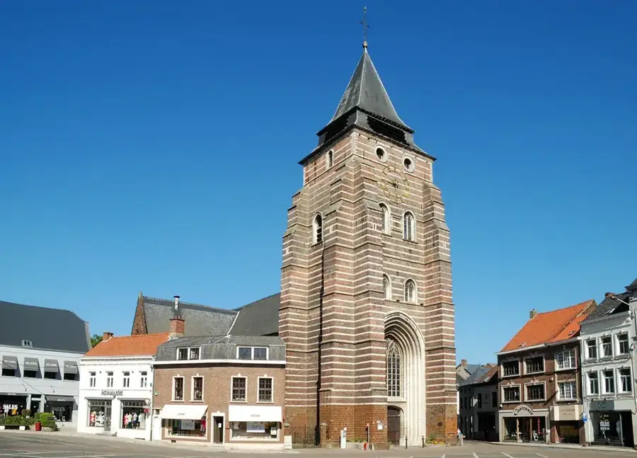

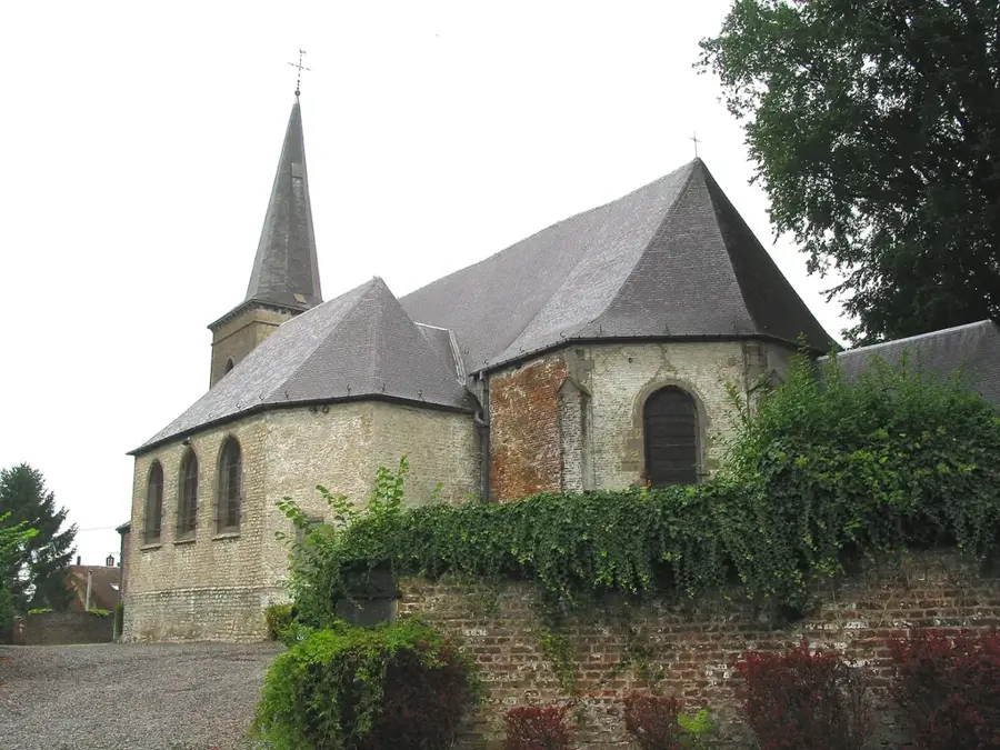
History & landmarks