Plizio Visual Lab
Ujar
ℹ️Practical info — Ujar
▾
🌤 Weather — 5 days
📍 Nearby
Sights nearby
💡 Tips
- Since Ujar is a major transport hub, book your train tickets to other cities well in advance, especially on weekends.
- A walk along the vast cotton fields outside the city gives great photo opportunities, particularly in the late afternoon.
- The railway station area is bustling; keep a close eye on your belongings here and only use official taxis.
- Summers can get extremely hot. It is best to explore the city during the cooler morning hours.
🍽 Food
Restaurants around the railway station often serve hearty Azerbaijani pilaf, well-suited for travelers.
During the season, buy sweet watermelons straight from local farmers' stalls on the outskirts of the city.
Enjoy it at one of the small teahouses (chaykhana) in the city center, a popular gathering spot for locals.
🛍 Shopping · 🧘 Quiet spots
The central bazaar features a rich selection of fresh vegetables and spices grown in the region.
Look for simple but durable fabrics made from regional cotton in small textile shops.
A shaded retreat in the center, first-rate for taking a break on a hot afternoon.
Rent a bike and ride along the quiet paths winding between the massive agricultural lands.
Water temperature…
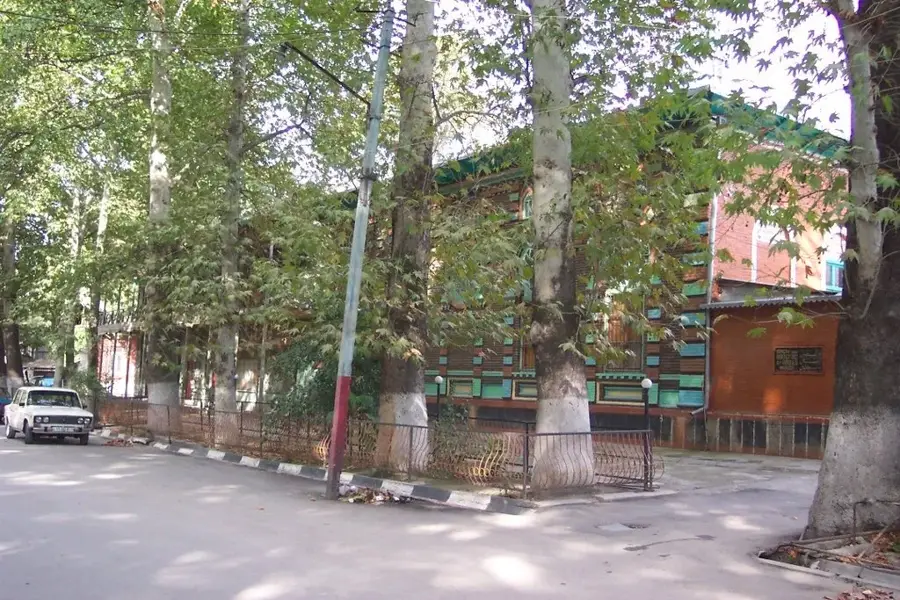
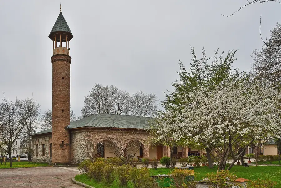
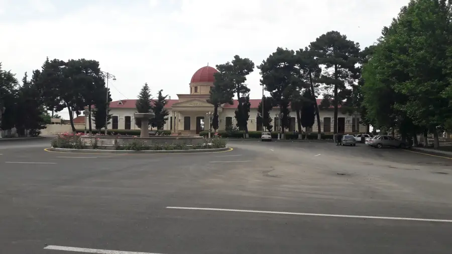
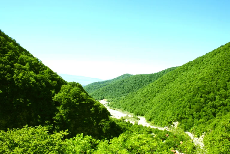
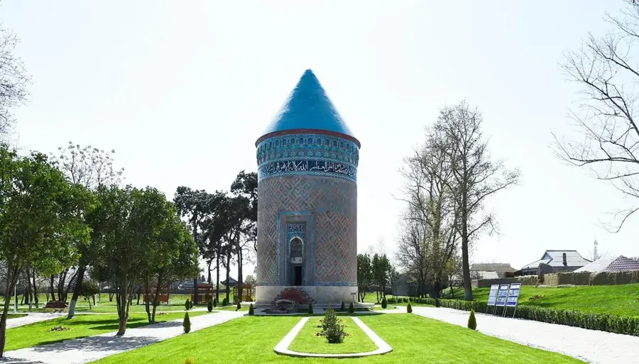
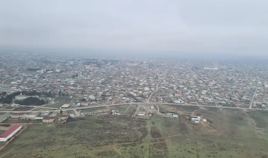
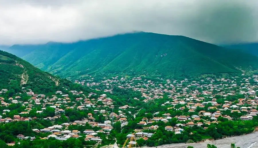
Ujar, sometimes spelled Ujary, lies in central Azerbaijan on the right bank of the Kura River and, with around twenty thousand inhabitants, is an important hub of the Azerbaijani railway network. Ujar railway station has operated since the late nineteenth century and lies on the historic main line Baku, Tbilisi, which links Azerbaijan with Georgia and beyond to Turkey. The town grew up around the station and became a centre for transporting agricultural produce from the surrounding region. Today the main crops grown in Ujar are cotton, wheat, barley, sunflowers and alfalfa, supplemented by traditional sheep and cattle breeding. The region is rich in groundwater resources, allowing for intensive irrigation. Notable sights include the Juma Mosque and the central bazaar offering local produce.
- Location: Azerbaijan
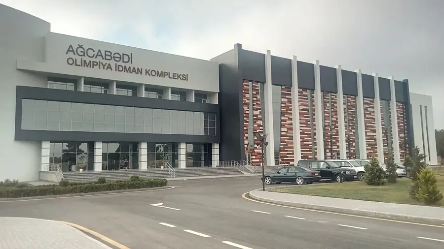
- Top sights: İncəsənət Məktəbi · Mədəniyyət Evi · Heydər Əliyev Mərkəzi
- Nearby: Goychay (14 km)
- Population: ~15.741 (2026)
Best time to visit & climate
The most pleasant time to visit is May, Sep, Oct.
| Jan | Feb | Mar | Apr | May | Jun | Jul | Aug | Sep | Oct | Nov | Dec | |
|---|---|---|---|---|---|---|---|---|---|---|---|---|
| Avg °C | 4 | 6 | 10 | 15 | 22 | 28 | 31 | 30 | 25 | 18 | 11 | 6 |
| Rain mm | 15 | 20 | 27 | 30 | 34 | 24 | 13 | 12 | 22 | 29 | 22 | 13 |
Geography
Facts
- Granted city status in the year 1941
- Located about 250 kilometers west of the capital Baku
- The district was officially formed on January 24, 1939
- A key site for the maintenance of railway infrastructure
- The region is irrigated by the Upper Shirvan Canal
- Average summer temperatures often exceed 35 degrees Celsius
Explore nearby
Notable places around
Route planner — Car & Motorhome
Where do you start? We build the route here, with stops and country notes along the way.
© OpenStreetMap contributors · OpenRouteService
Sights in the town Ujar (7)
Frequently asked questions
Where is Ucar located?
What is there to see in Ucar?
Is it suitable for travelers?
What is the local food?
How to best travel there?
Ujar: where is it located?
Ujar: what is there to see?
Ujar: when is the best time to visit?
Ujar: why is it worth visiting?

Nearby cities
History & landmarks
More places