Plizio Visual Lab
Mil Steppe
Weather…
Water temperature…
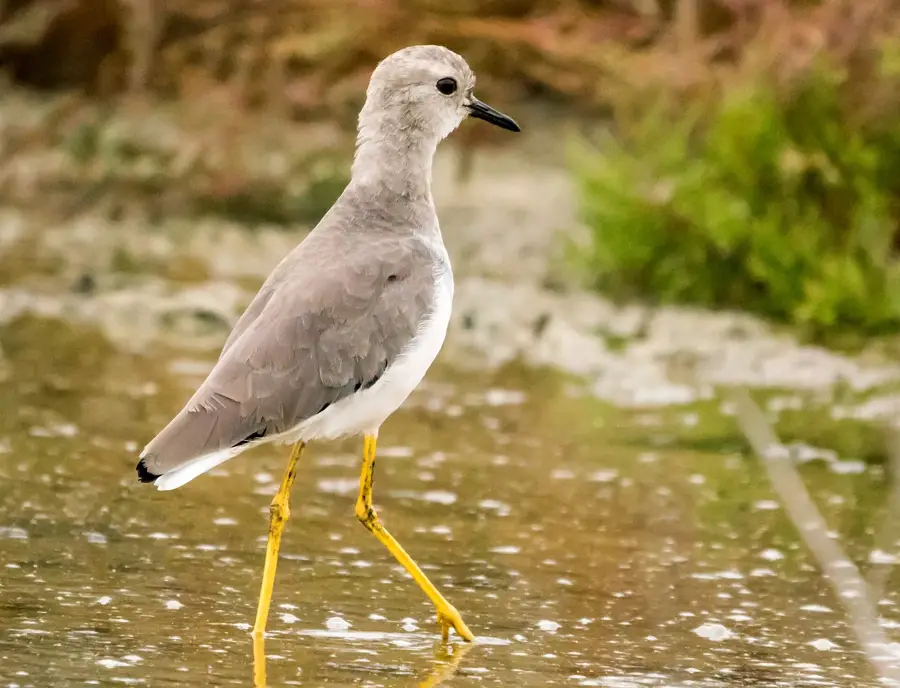
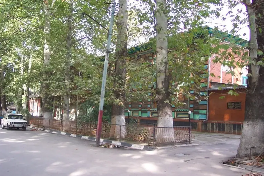
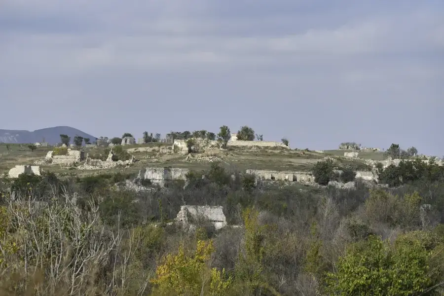
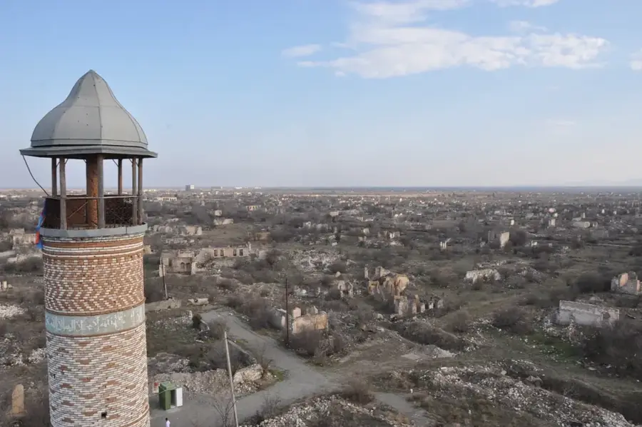
The Mil Steppe is a major part of the Kura-Aras lowland in southwestern Azerbaijan, situated west of the Aras River. Geologically, it is an alluvial plain formed by sediments from the Kura and Aras rivers. The landscape is almost entirely flat and features a dry, continental climate. In the past, the steppe was largely unutilized, but the construction of irrigation canals in the 20th century transformed it into a significant center for cotton cultivation. Beyond agriculture, the region is known for its archaeological sites, including the ruins of the medieval city of Örenkala. Natural vegetation is now found only in fragments, mostly consisting of wormwood and dry grasses. While irrigation has increased yields, it has also presented challenges such as soil salinization, which requires active management to maintain land fertility.
- Location: Azerbaijan
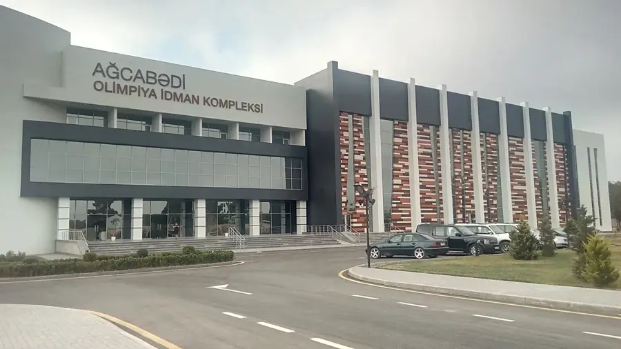
- Nearby: Agjabadi (17 km)
Best time to visit & climate
The most pleasant time to visit is May, Sep, Oct.
| Jan | Feb | Mar | Apr | May | Jun | Jul | Aug | Sep | Oct | Nov | Dec | |
|---|---|---|---|---|---|---|---|---|---|---|---|---|
| Avg °C | 4 | 6 | 10 | 15 | 22 | 28 | 30 | 29 | 24 | 18 | 11 | 6 |
| Rain mm | 14 | 19 | 25 | 27 | 29 | 19 | 7 | 9 | 19 | 27 | 22 | 14 |
📋 Practical info
Geography
Facts
- The Mil Steppe is located on the right bank of the Kura River.
- Large areas of the steppe were reclaimed for agriculture in the 20th century.
- The ruins of Örenkala indicate habitation in the area since antiquity.
- The region is one of the primary centers for the Azerbaijani textile industry.
- Soil salinization is a major environmental issue in this region.
- The climate is characterized by hot summers with temperatures above 40 °C.
Explore nearby
Notable places around
Route planner — Car & Motorhome
Where do you start? We build the route here, with stops and country notes along the way.
© OpenStreetMap contributors · OpenRouteService
Sights nearby
Frequently asked questions
What is the Mil-Steppe?
Can you visit the steppe?
What is worth seeing there?
When is the best time?
Are there any dangers?
Mil Steppe: where is it located?
Mil Steppe: when is the best time to visit?
Mil Steppe: why is it worth visiting?

Nearby cities
More places